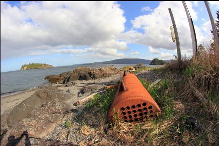
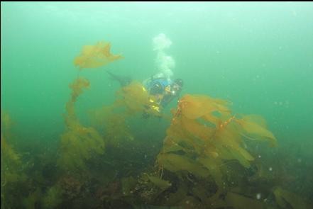
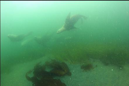
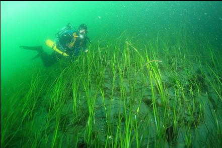
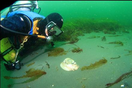
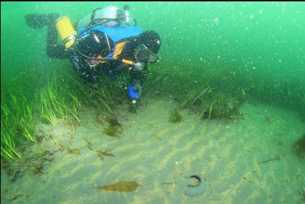
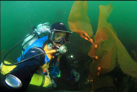
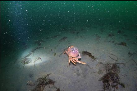
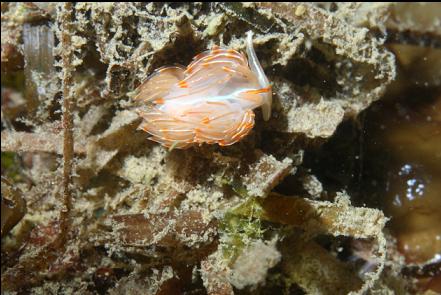
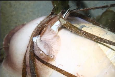
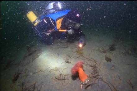
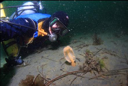
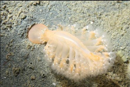
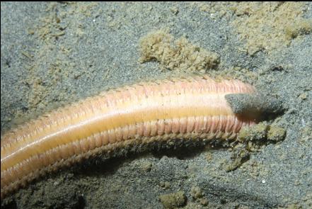
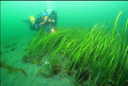
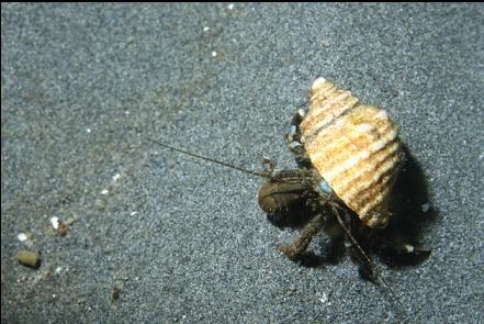
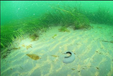
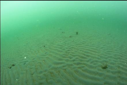
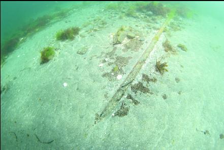
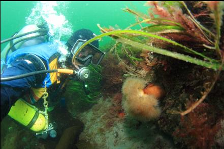
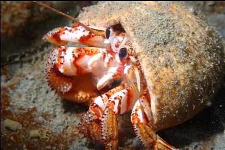
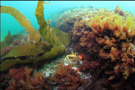
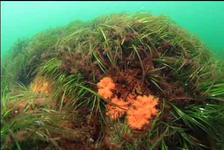
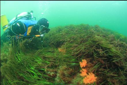
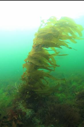
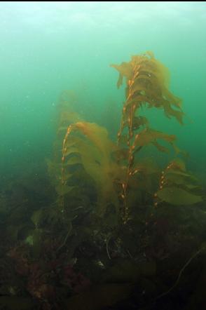
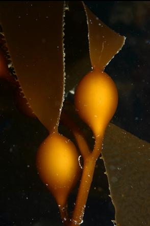
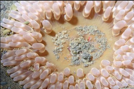
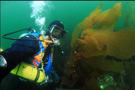
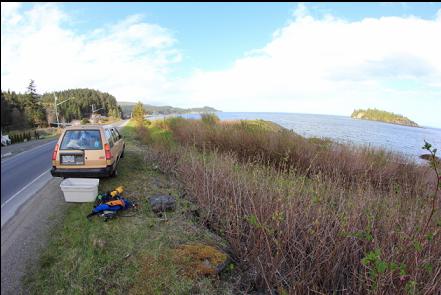
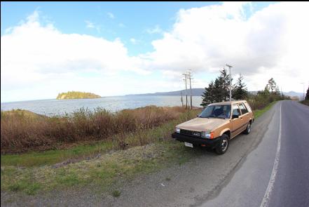
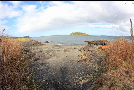
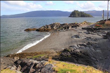
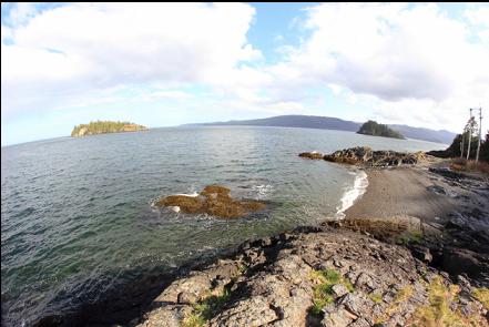
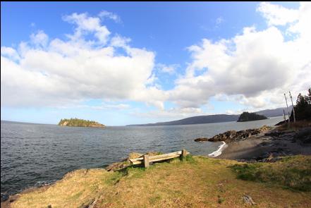
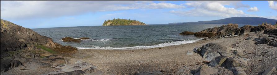
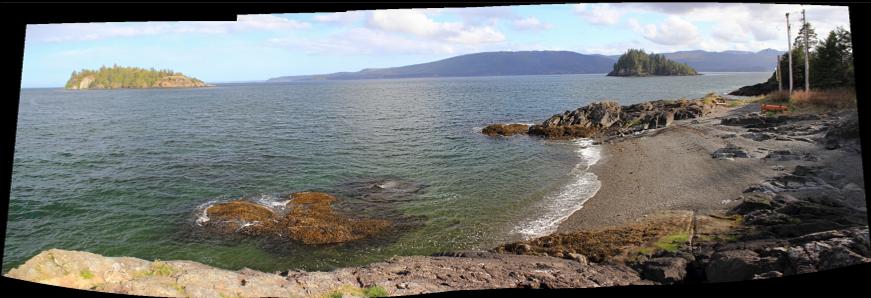
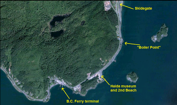
This is another spot that doesn't have a name on a map or chart. It's a couple of rocky areas sticking out with a small pebble beach in-between just South of the Village of Skidegate. There's a bench on top of one of the rocky points and an old boiler on the beach near the other one. This is also the site of the power cable across Skidegate Inlet. The marine chart shows a fairly steep slope to over 60 feet deep. I was hoping for some rocky reefs out here so I drove up from Queen Charlotte City for a dive on April 21, 2012. I had to swim out for quite a distance before I even noticed a slope. There was a plain of eelgrass 15 feet deep with several moonsnails. The current was pretty strong, but at least it allowed me to easily navigate to and from shore. Eventually the bottom began to noticeably drop, but it was just a slope of silt. Visibility was about 20 feet. There were lots of clam siphons sticking out of the mud, a few tiny seapens and a single orange plumose anemone. I didn't see any fish on this dive. I went down to about 70 feet deep and then I swam South along the slope for awhile, but there weren't any rocky areas so I went back up to the eelgrass, where I was visited by several sealions. Near the rocks right next to the shore there were some strands of macrocystis kelp and some orange burrowing cucumbers.