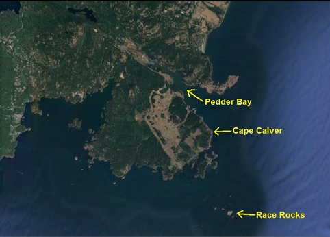
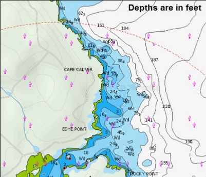
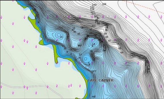
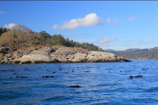
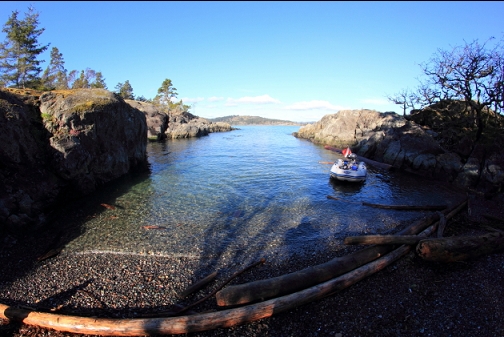
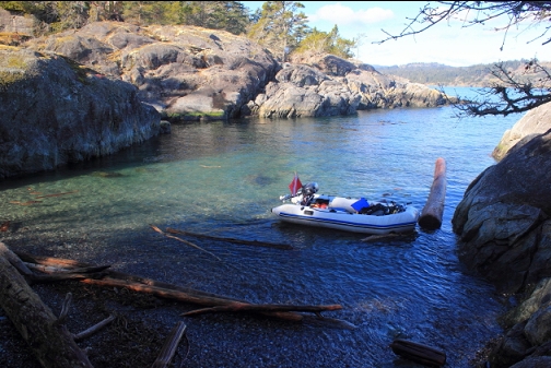
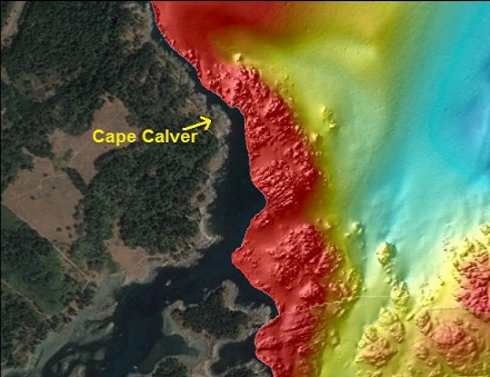
Cape Calver is a sort-of point sticking out from Vancouver Island just outside of Pedder Bay. I assume it was named for either Edward or William Calver, who were both(?) staff commanders on HMS Fisgard on surveying service in the Pacific in the 1840's (I think). I've never thought of diving here before, since when I go to the trouble of bringing my boat out here, I like to dive the big, current-swept, colourful spots. I recently noticed on a marine chart that the bottom around Cape Calver goes below 100' deep within a reasonable swim from shore. A side scan image shows a large rocky area around the point as well. I was curious to see what a semi-deep rocky slope out here would be like in an area without crazy currents. I launched my boat at Pedder Bay and anchored in a tiny bay on the North side of the point (Feb. 12, 2017).
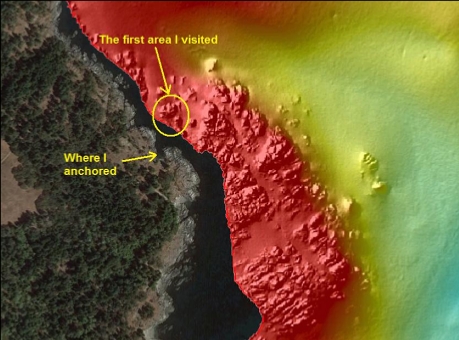
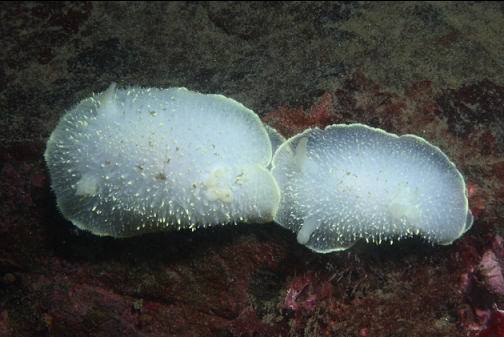
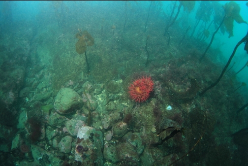
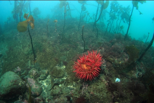
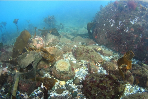
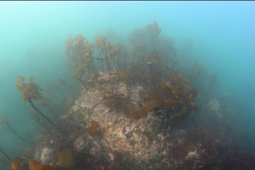
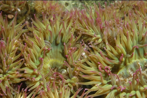
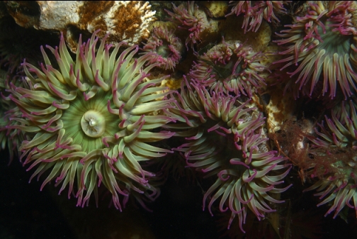
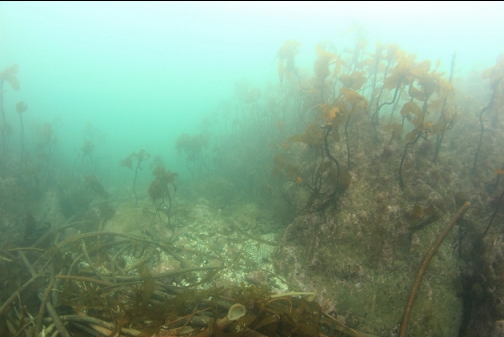
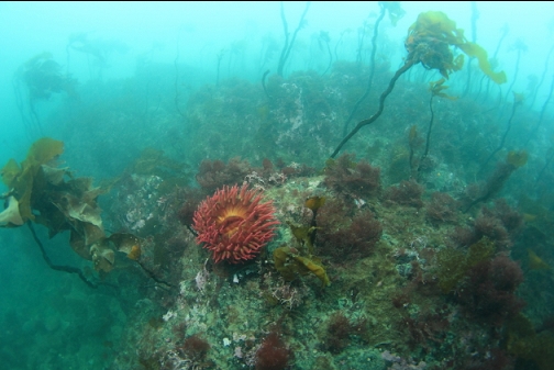
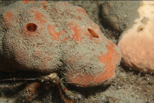
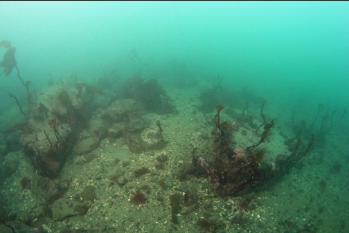
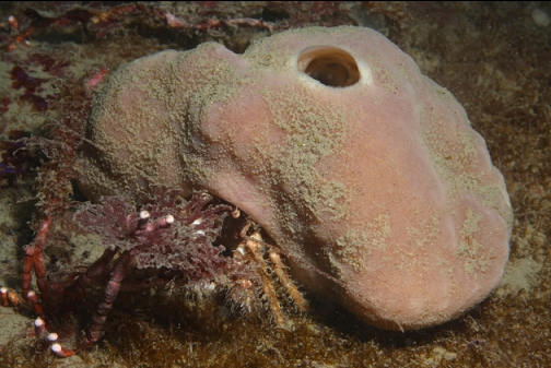
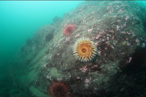
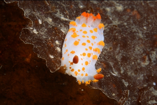
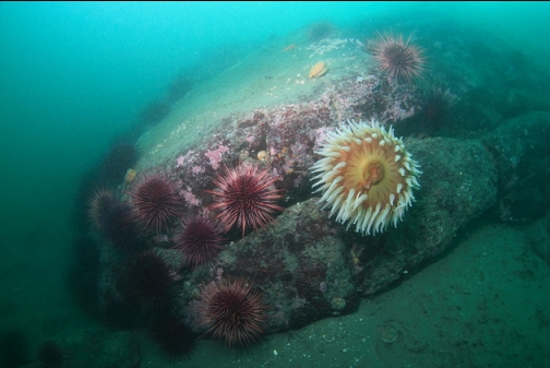
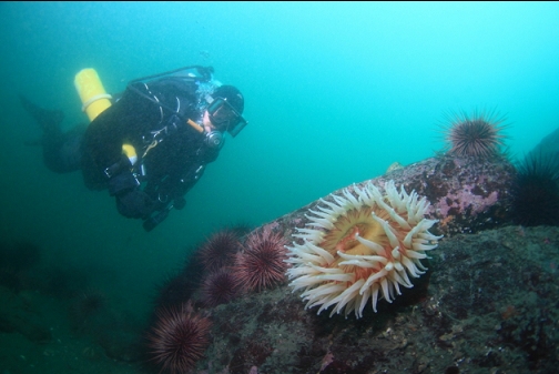
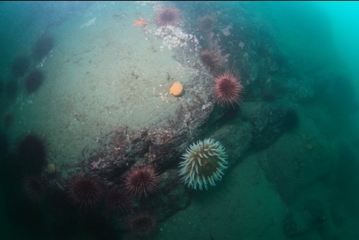
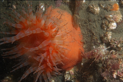
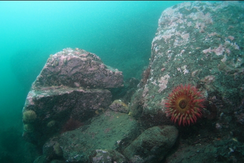
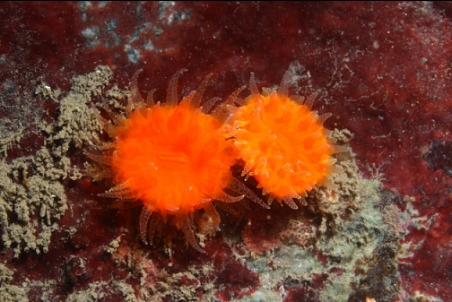
I swam straight out of the bay (more or less North). The bottom was a flat area with boulders and small rocky reefs. I swam out quite far before reaching 30' deep. This was a surprise since I expected the bottom to drop down steeper. There wasn't much marine life out here. I saw one kelp greenling and a couple of fish-eating anemones. The most common creature was that kind of hermit crab that has a sponge for a shell. They were gathered in groups all over the place. I assumed they were mating. Visibility wasn't very good, maybe 15'.
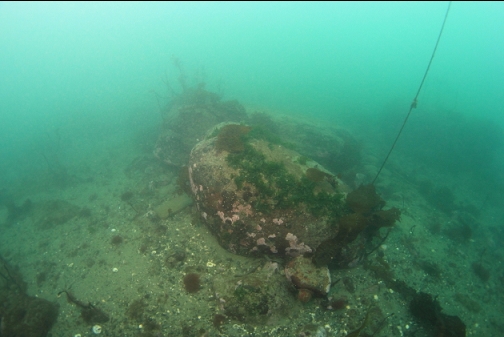
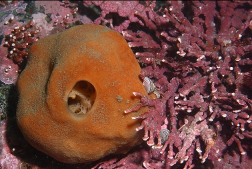
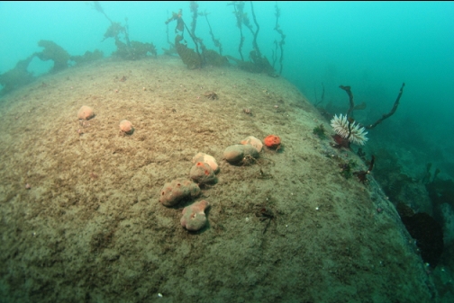
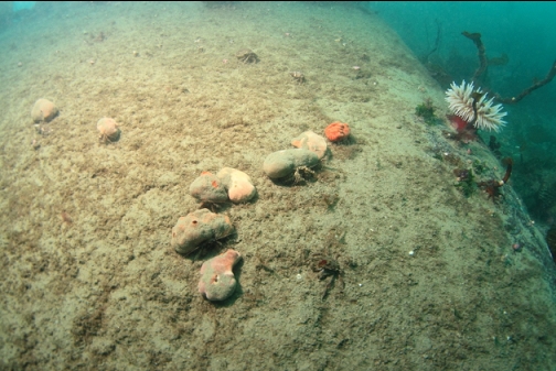
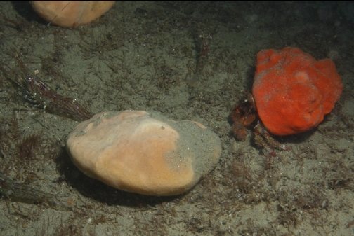
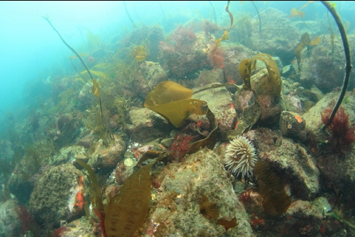
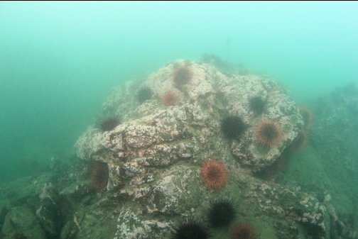
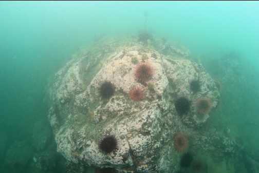
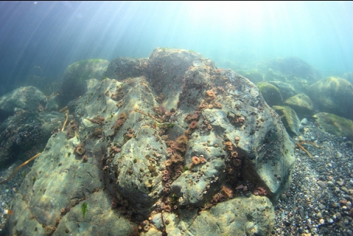
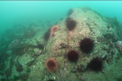
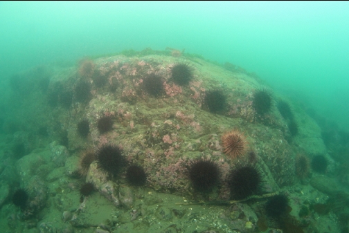
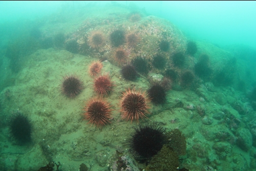
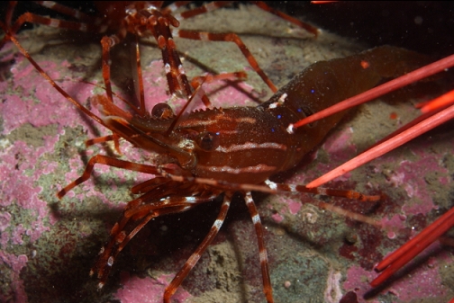
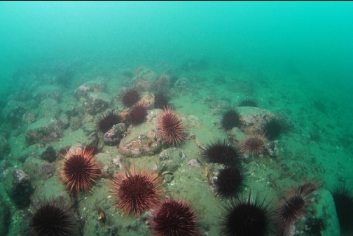
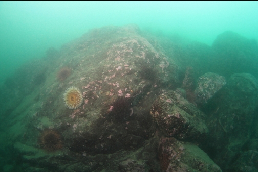
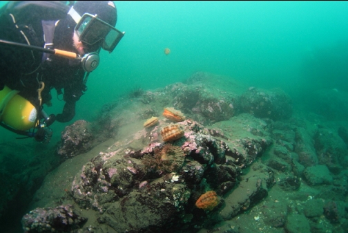
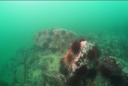
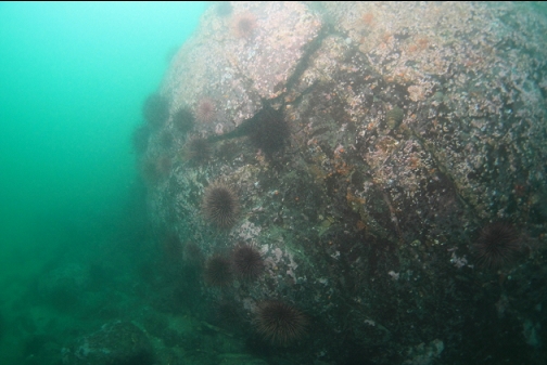
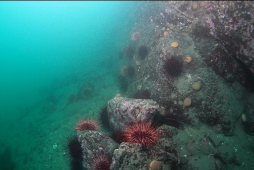
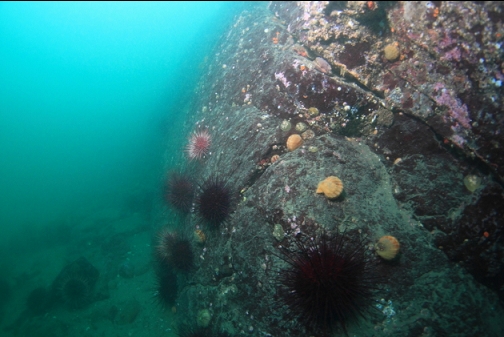
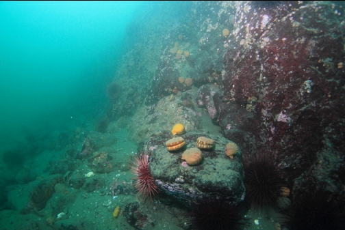
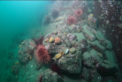
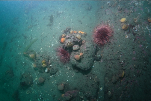
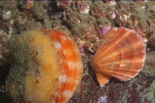
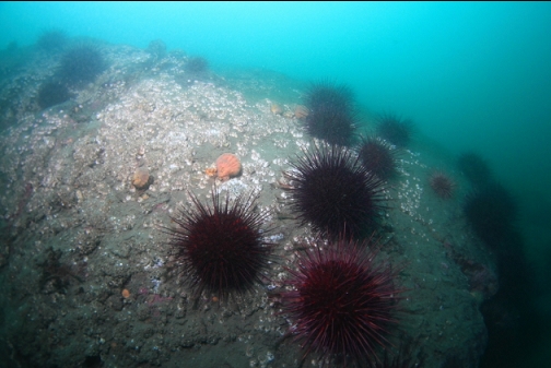
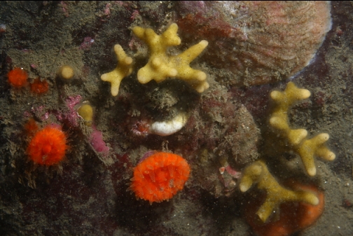
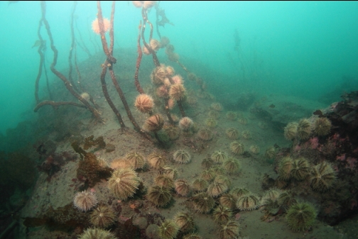
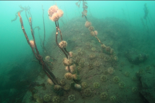
I then swam along the edge of a larger, more solid rock reef. This reef edge ran North. Urchins were the most common species here. The farther North I swam, the stronger the current became. This was a bit worrying since I was diving near the Race Passage slack (turning to a small 2-knot flood). I had assumed this area wasn't really exposed to much current. I now assume that this place can have enough current to get a diver in trouble, but not enough to sweep away the silt on the rocks. Most of this area was about 40' deep. I started to see lots of swimming scallops scattered around. There weren't Ogden Point or Ten Mile Point piles of them, but this was the most I have seen outside of those 2 sites.
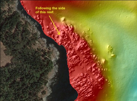
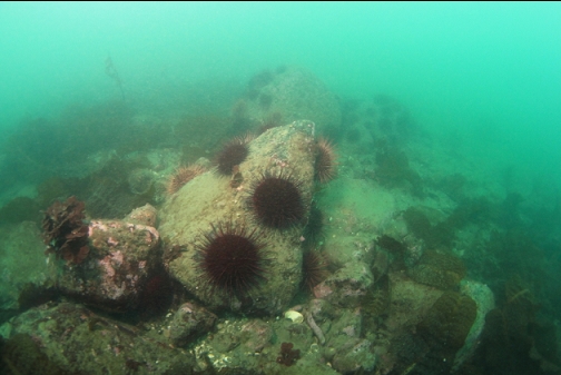
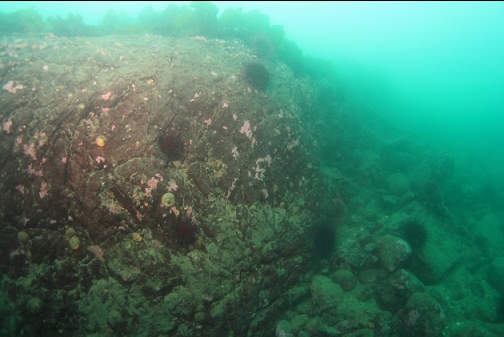
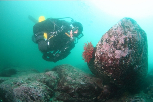
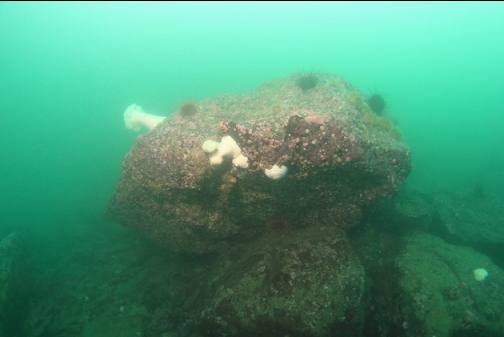
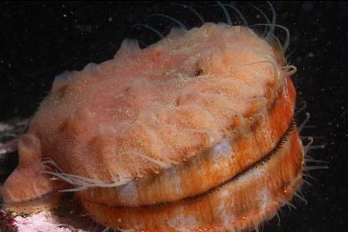
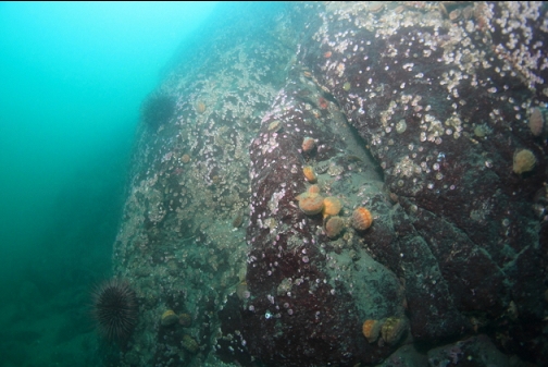
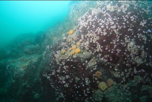
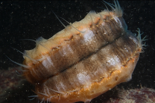
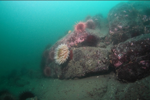
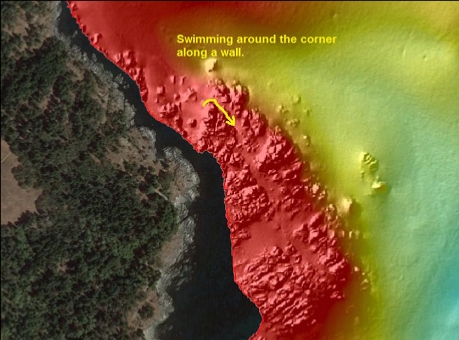
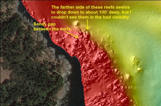
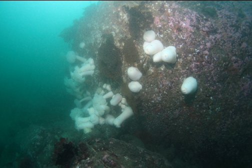
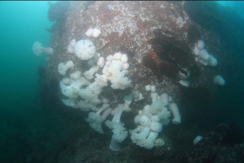
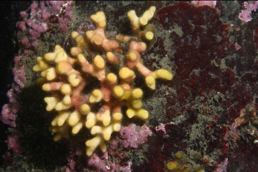
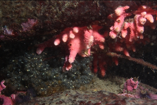
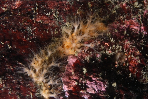
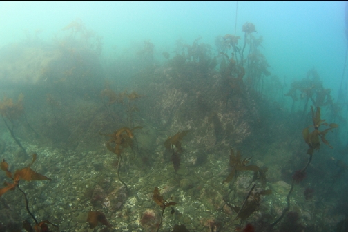
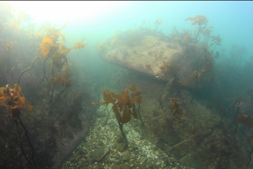
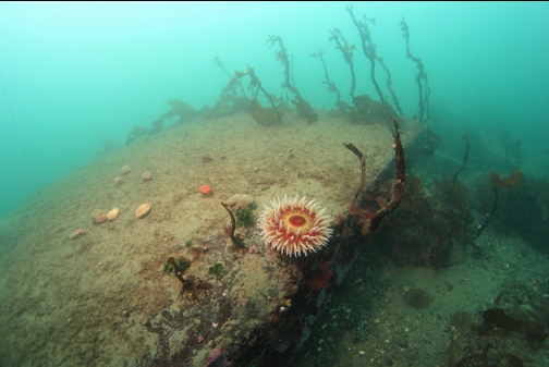
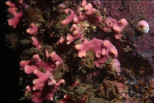
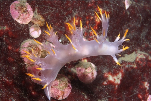
I swam around the corner at the end of this reef. The rock was now a small wall running parallel to the shoreline. The base was about 50-60' deep. Later, looking at the side-scan image, it looked like there was another rocky reef farther out across a sandy gap. I think the far side of that reef drops down to around 100' deep. That was probably the deeper area I was hoping to find on this dive. Unfortunately, the bad visibility (out here it had dropped to about 10') didn't let me see far enough to notice this other reef. The wall I was swimming along was covered with small, white barnacles in places and there were some patches of pink branching hydrocoral. The only fish I saw were a few juvenile yellowtail rockfish.
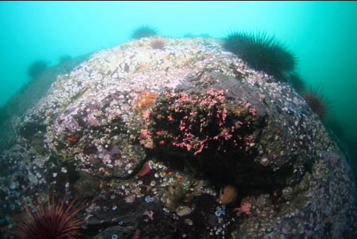
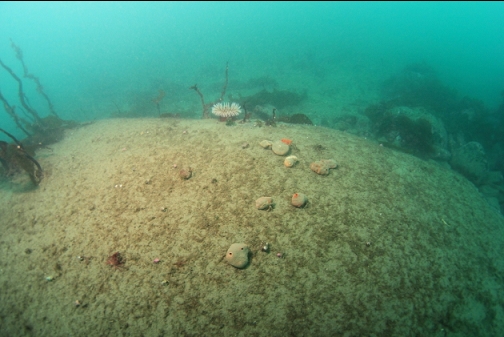
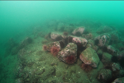
According to the Race Passage current table, it was now slack, but the current was actually stronger than I was comfortable with this far out from shore. I started swimming up over the rocky reefs back towards shore. The reefs formed such a maze that I had to surface a couple of times to take a compass heading and verify I was still swimming in the right direction. I saw that I was a long way out from shore. Some of the reef tops were as shallow as 20', bust most of the area was 30-40' deep.
Even if the visibility had been better, I wouldn't have been that impressed with this spot. The limited marine life for the area, the distance from shore and the threat of current combine to probably prevent me from diving here again.