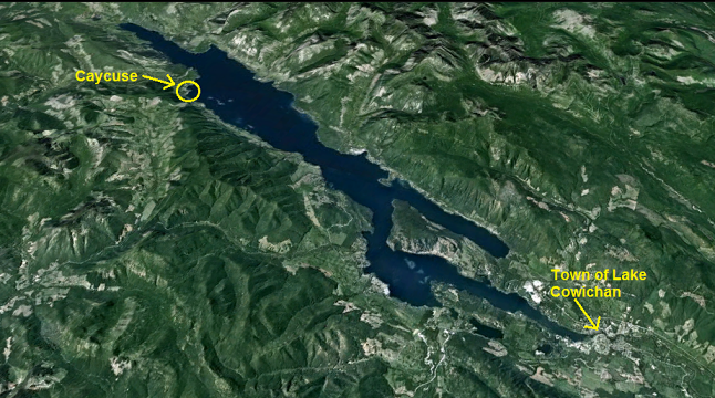
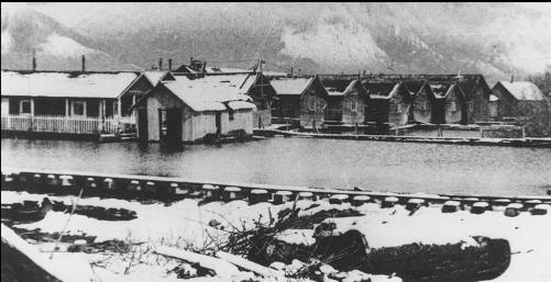
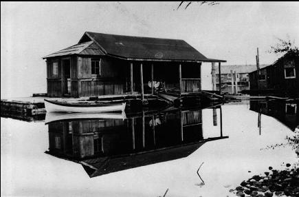
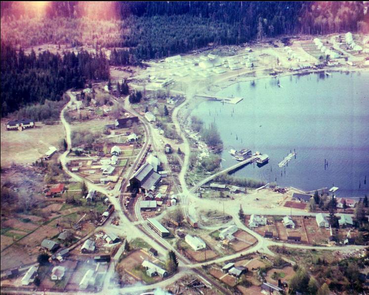
Caycuse (also known as "Camp 6") is a tiny community near the West end of Cowichan Lake. It used to be much larger. According to the internet, a lumber mill was established here in 1927. In the early years, the loggers were housed in a floating camp. Eventually a town with several hundred residents developed on shore. The mill closed down in the 1990's. One website claimed that this was the longest-operating logging camp in Canada.
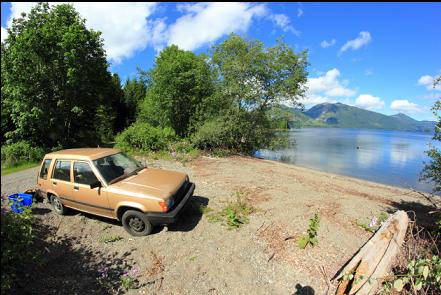
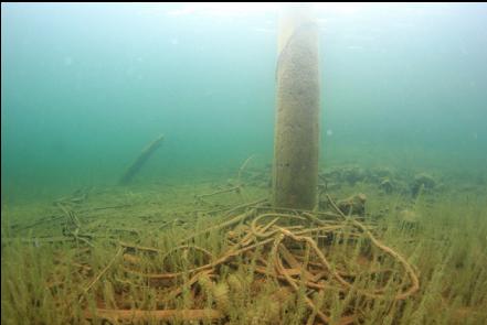
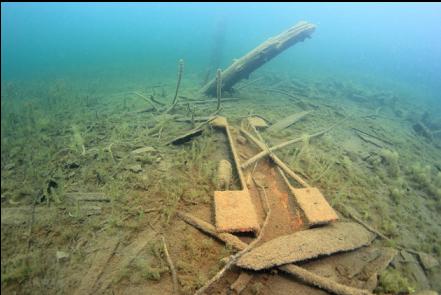
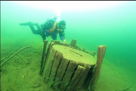
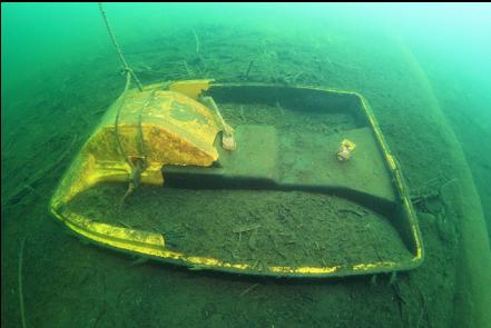
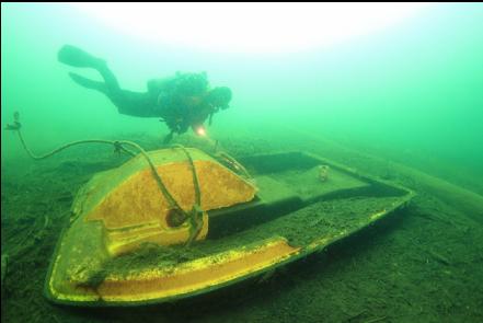
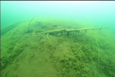
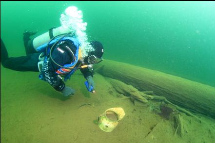
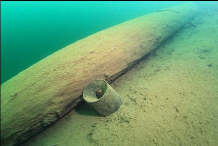
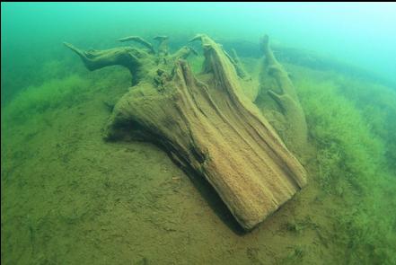
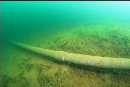
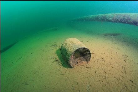
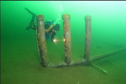
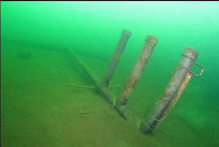
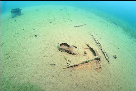
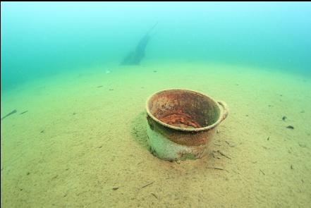
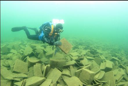
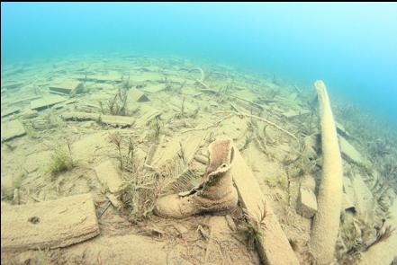
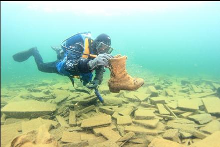
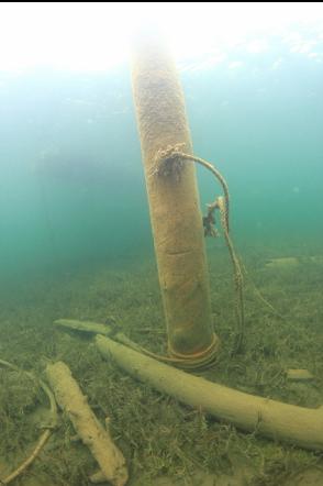
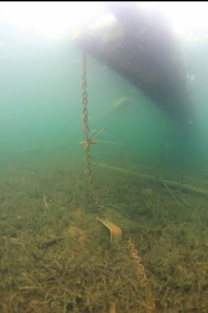
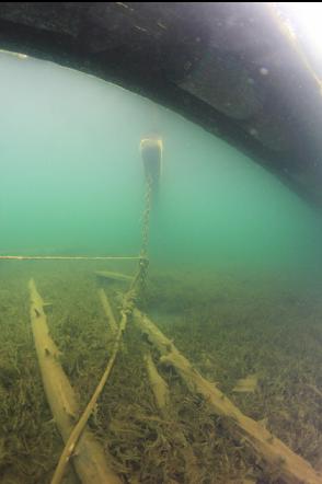
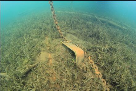
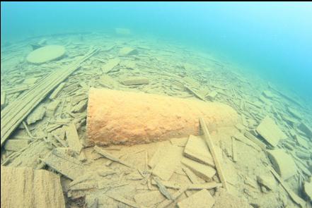
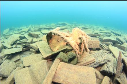
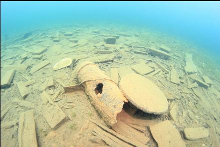
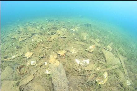
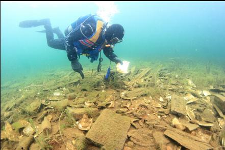
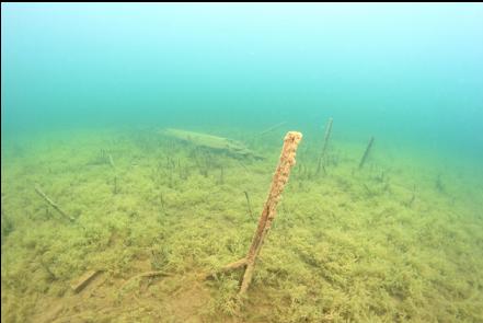
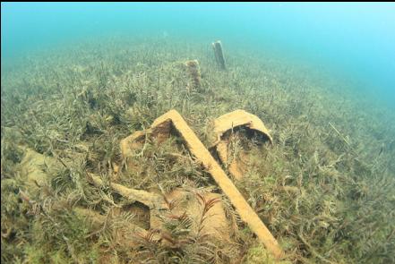
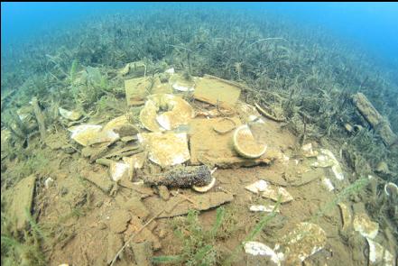
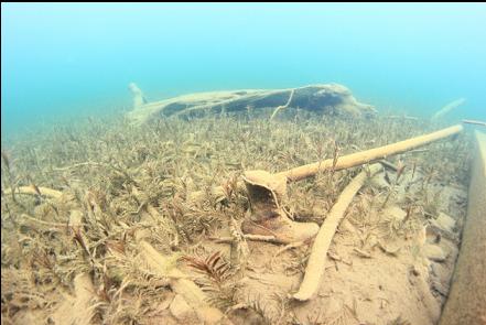
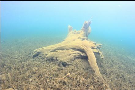
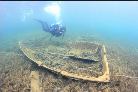
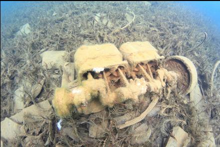
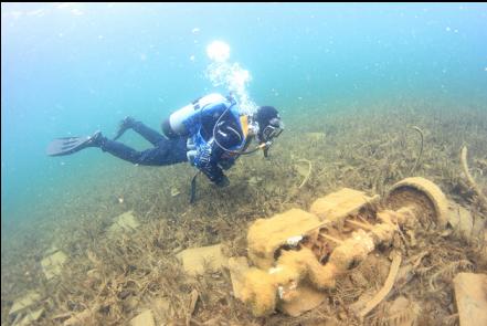
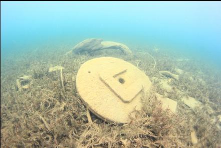
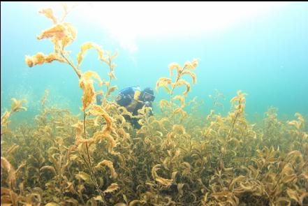
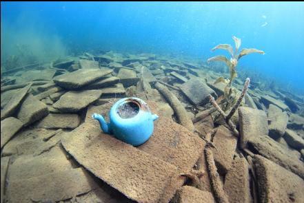
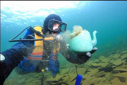
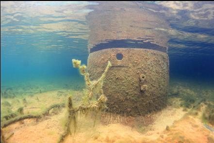
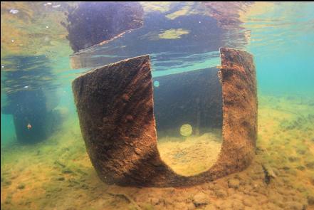
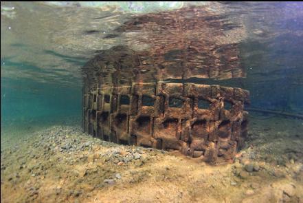
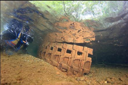
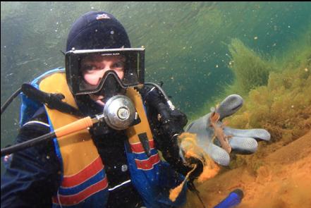
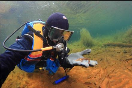
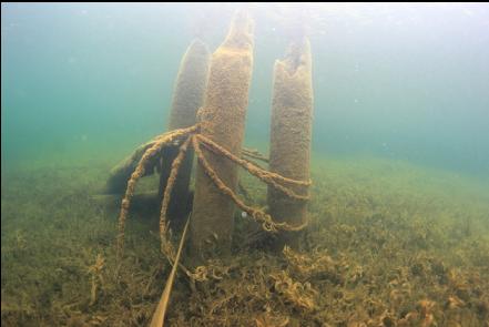
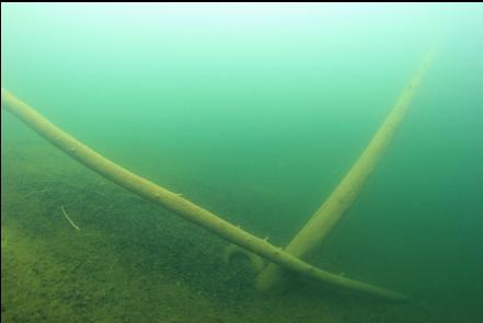
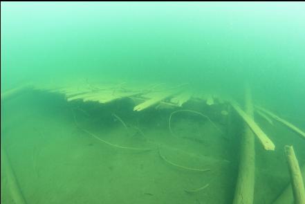
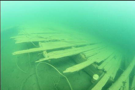
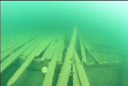
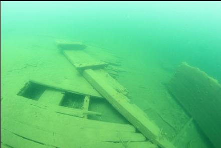
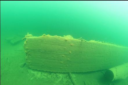
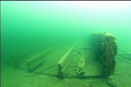
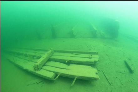
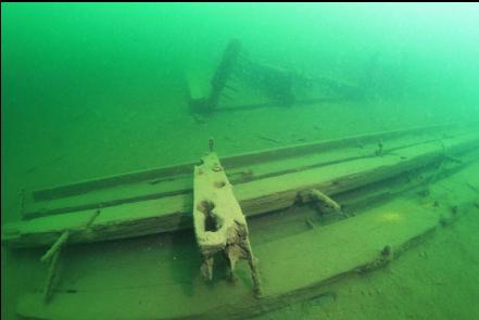
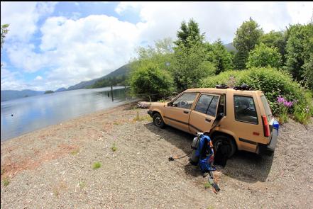
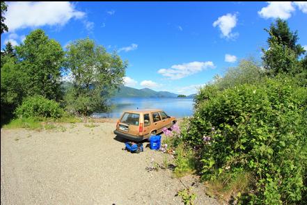
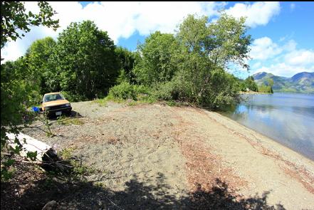
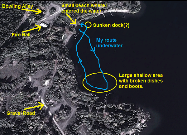
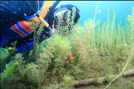
The thing I like about diving in lakes is not the endless muddy bottoms, but the way that history is preserved in freshwater. In the ocean, wood is rotted and battered away in a few years, while in freshwater, wooden things can still be sitting there a century later. I drove up here on June 7, 2013. Once past the town of Honeymoon Bay, there's a gravel logging road leading farther along the lake towards Nitinat and Bamfield. Caycuse is about 11 km up this road. I didn't know how easy it would be to get in the water or even what the town would look like. I actually drove past it at first without noticing it. The only sign of the town from the gravel "highway" was a wood warehouse/barn-looking building. It turned out to be the volunteer firehall. Nearby was a small bowling alley. Both seemed deserted. I found a small lane behind the firehall that lead down to the shore. The town that I saw in old aerial photos was now mostly overgrown. There were still a few houses. One of the paved roads I drove along was so overgrown and narrow that the bushes scraped along the side of my car. I found a small beach in the middle of a bay where the main part of the town was located. The remains of what looked like the foundations of a dock stuck out slightly on my right. I swam out and a bit to the right. There wasn't much left of the dock underwater, just a few pilings. I swam straight out and the muddy bottom sloped down into the bay. Visibility was 20-30 feet. There were the expected scattered logs, but also a small sunken paddle-boat, a pitcher, bottles, etc. I saw a plastic pipe leading down the slope. It ended in 3 pipes that might be the town's water supply. The steepest part of the slope seemed to end at about 50 feet deep, but I made it to 60 feet deep by swimming out a bit farther. I swam South and back up the slope into a large shallow area on the South side of the bay. There was a pile of 1 or 2 foot square wood shingles. There were also boots and shoes scattered everywhere. There must have been dozens of them. I saw small areas covered with broken china and bottles. These areas were spread apart almost like they were separate garbage dumps for different houses. I wondered if this was the area where the float homes were moored. In these shallows (less than 10 feet deep) I saw several newts sitting on the bottom or swimming up for air. They didn't seem too bothered by me. I also saw a few large trout. They would charge in, almost startling me when I saw them out of the corner of my eye. They didn't come closer than about 10 feet though. I swam back to my entry-point up in the shallows. I had some air left so I decided to quickly see what was down here a bit North of my entry-point. About 30 feet deep I saw a large, wooden raft-like structure. Just past it a bit deeper, there was another wooden structure. My first impression was that it was a sunken scow or barge. These two wooden things were about 60-100 feet long and maybe 30 feet wide. I think they might be parts of a now-sunk floating dock. Some old aerial photos show a large floating platform at the end of a dock in this area. I did a second dive (with a video camera) on the "dock platform". There was some old stuff buried in the silt on the wooden structure. Other than old bottles, I saw a lantern and a Chinese pot. I continued to swim as far as the Northern point of the bay, but there didn't seem to be much old junk here. On my swim back to shore I saw a heavy, carved wooden model sailboat in the mud.
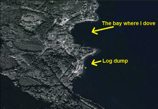
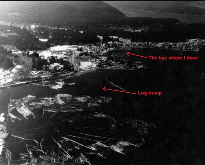
I covered most of this bay (which is where most of the old town was located), but I'll have to come back to explore the next bay South where most of the actual logging operation, including the log dump, was located.