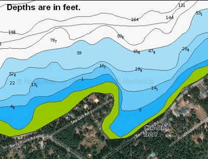
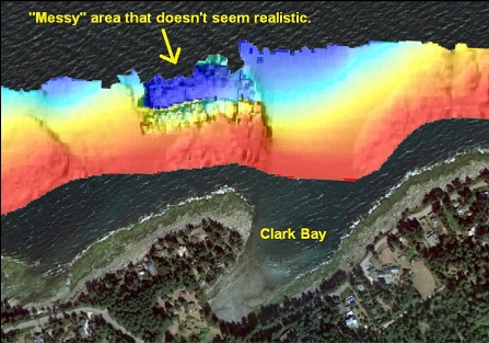
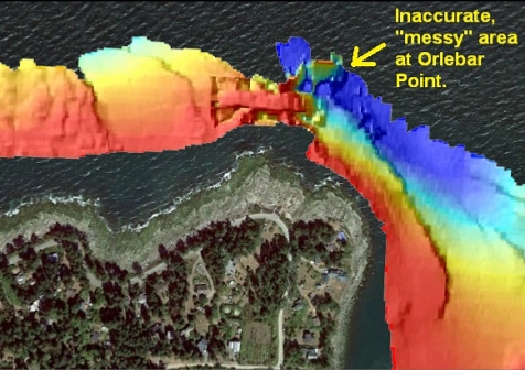
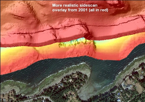
I was up on Gabriola Island on Aug. 14, 2022 for a couple of dives. Orlebar Point is probably my favourite Gabriola dive, but this weekend the currents were about as big as they get and Orlebar Point is a fairly current-sensitive spot. According to the marine chart, nearby Clark Bay has access to depths over 100' and is far away enough from the point that I assumed current wouldn't be an issue. The sidescan images for the area off Clark Bay were a bit confusing. The most detailed image (from 2002) showed a rocky area off the point of the bay, but it seemed too "messy" to be accurate. The same sidescan image for nearby Orlebar Point is similarly messy (the actual topography is a straightforward wall). I assumed that these sidescan sonar images are caused by some kind of confused acoustic echoes or maybe the sidescan vessels were hit by the ferry wake. Another sidescan image from 2001 seemed more realistic. It didn't show the area close to shore, but it seemed to show a more believable larger rocky area sloping down from the point of Clark Bay. Anyway, all this was telling me that there was some kind of rocky area with a decent range of depths off Clark Bay and I decided to dive it.
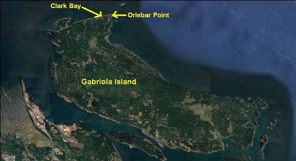
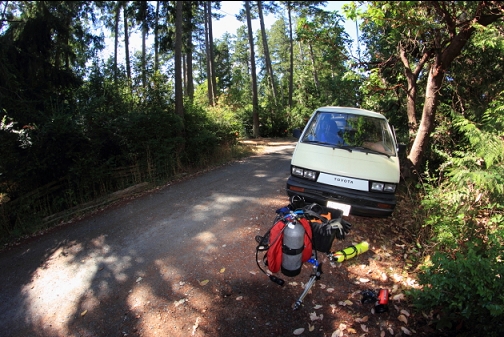
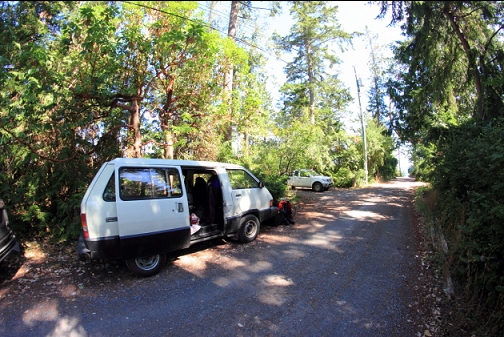
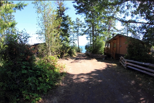
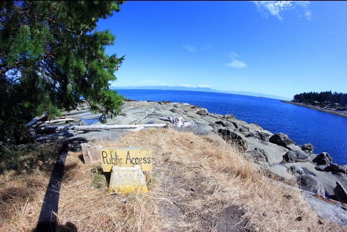
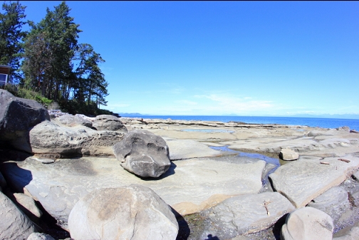
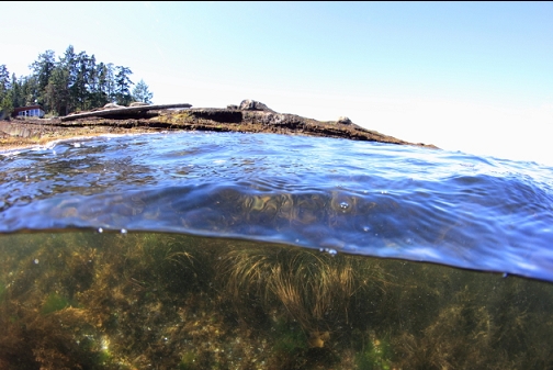
I parked near the end of Sea Girt Road and walked down the sandstone slope at the point. Entry would be easier the higher the tide since at lower tides, there is a large, flat expanse of slippery seaweed-covered sandstone.
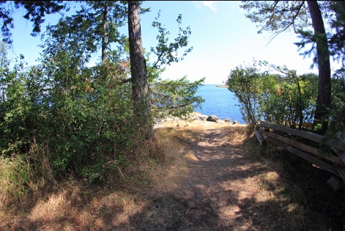
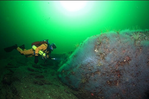
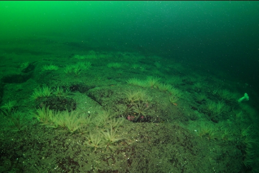
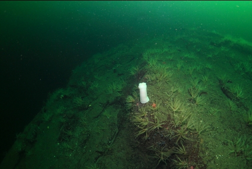
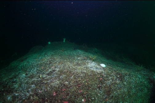
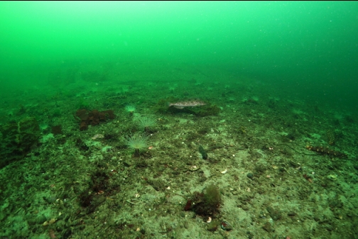
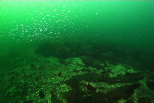
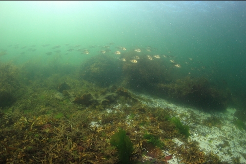
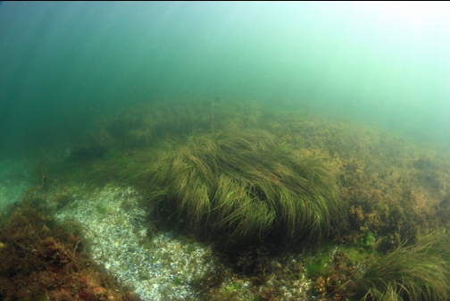
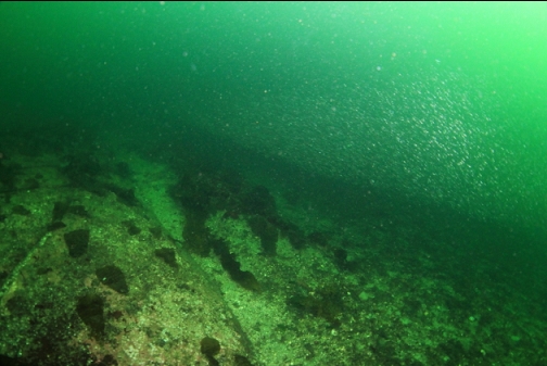
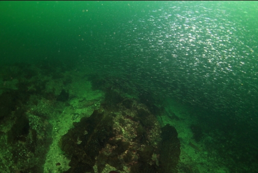
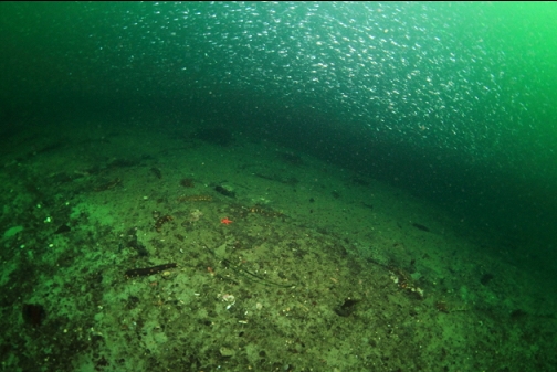
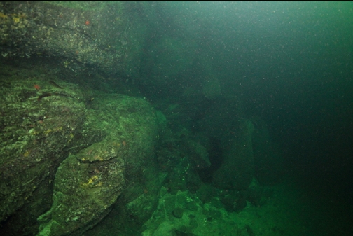
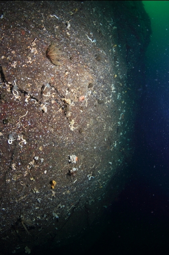
I swam out from the tip of the point, more or less North. Visibility was a bright 15-20' in the shallows. I was surprised to see that many of the rocks in the shallows were covered with surfgrass. I didn't expect to see it in the Strait of Georgia. I also assumed that there would be a solid rock reef extending out from the point, but it was actually a slope of sand with some small reefs and boulders scattered around. In some areas, I was surrounded by a big school of what looked like sandlance. I noticed a current helping me along (it seemed to be flowing straight out from shore). It was hard to appreciate how strong it was when I was swimming along with it. All the following photos are from the 2 different dives I did here. After the first dive I noticed that my manual fisheye lens had its focus set to infinity instead of minimum focus like it should have been behind a dome port. This made the wide-angle photos pretty blurry, although it's hard to tell in these shrunken-down images. It convinced me to do the second dive here to try and take in-focus pictures.
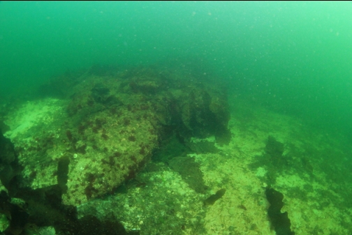
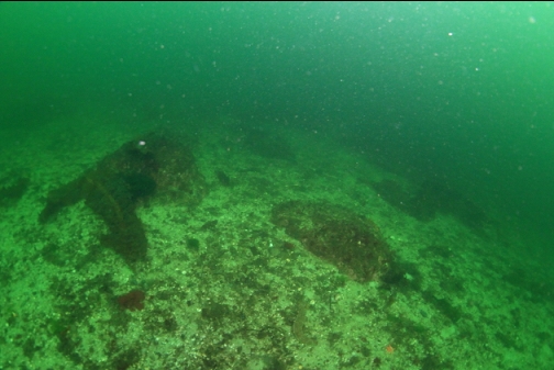
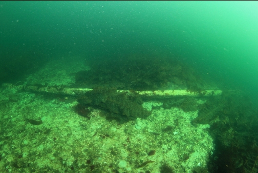
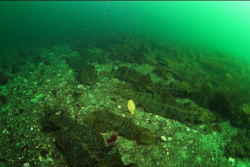
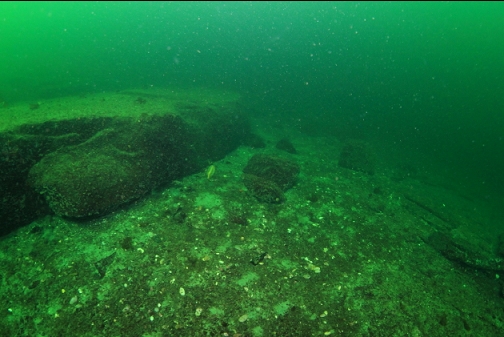
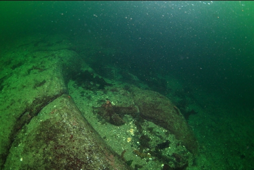
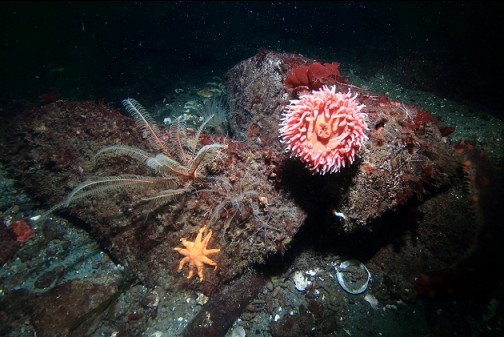
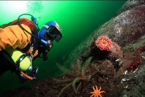
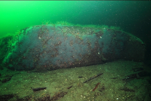
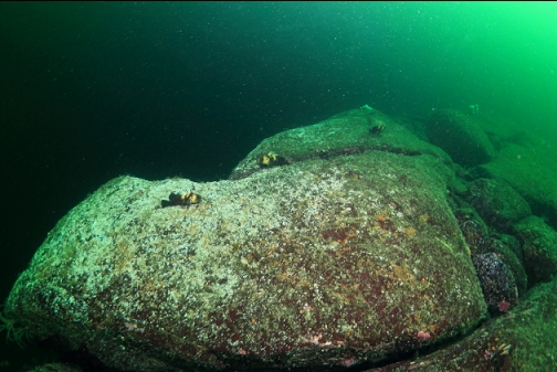
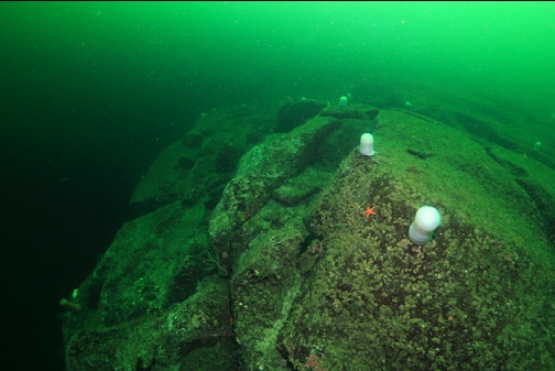
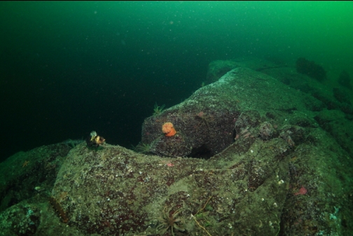
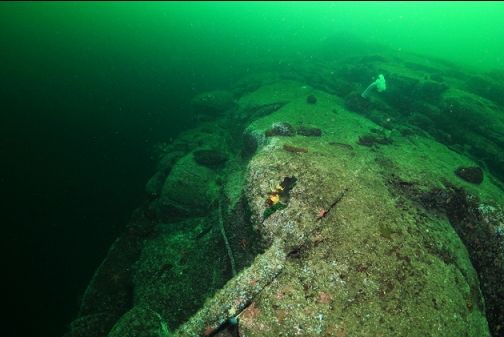
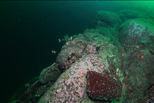
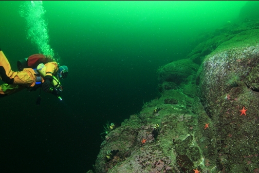
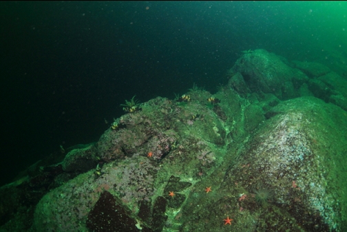
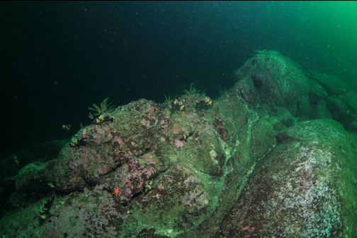
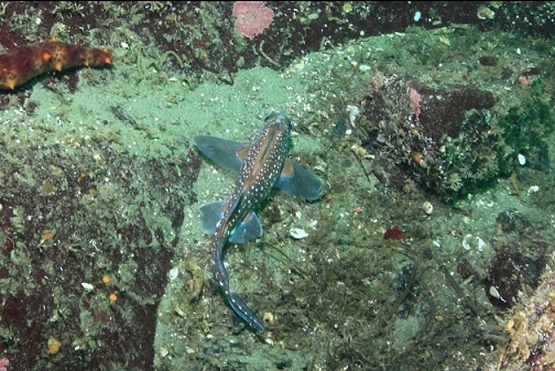
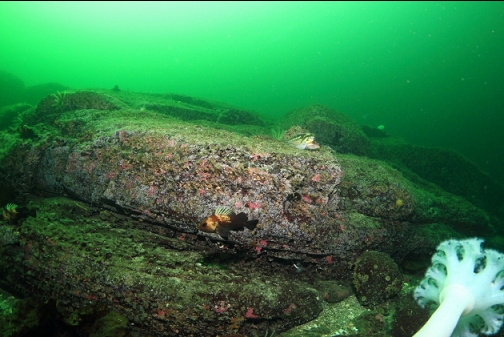
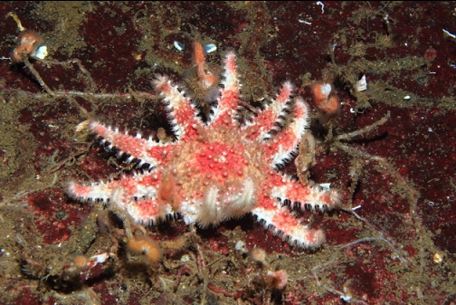
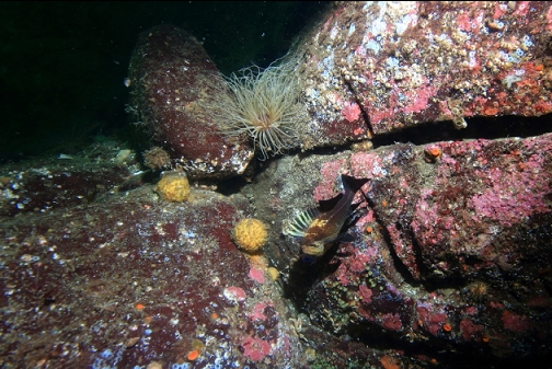
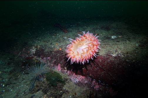
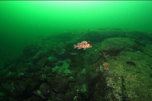
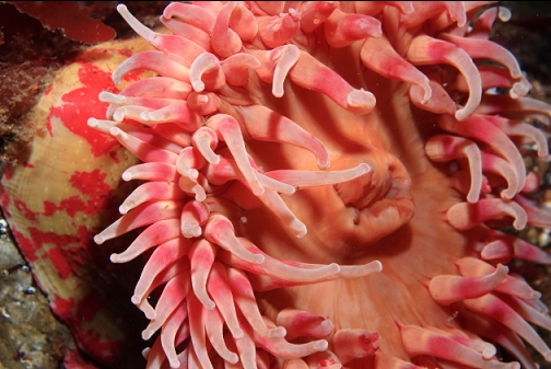
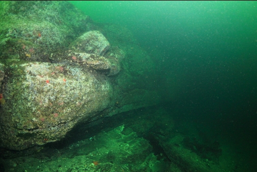
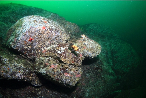
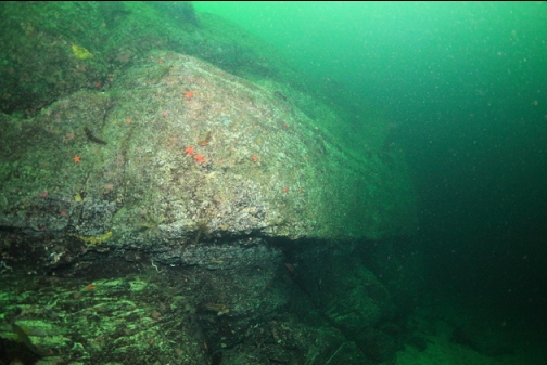
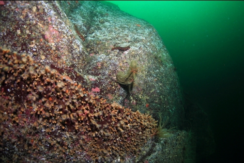
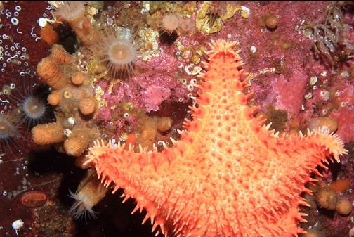
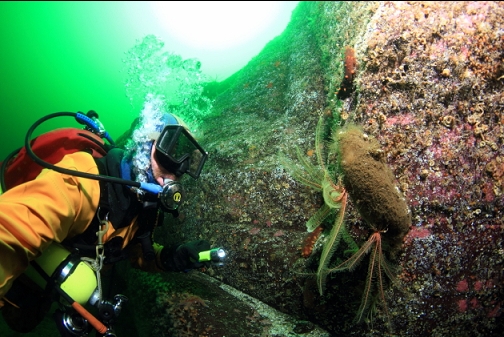
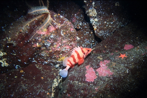
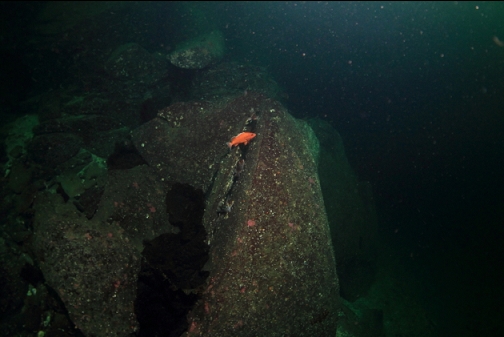
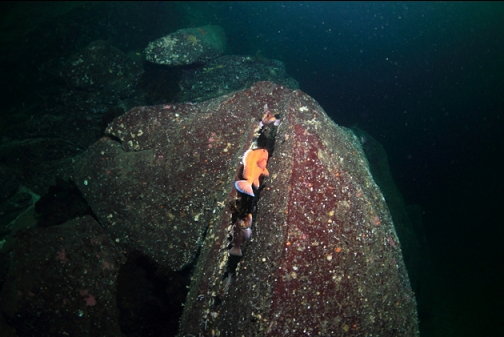
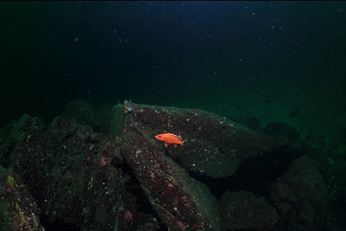
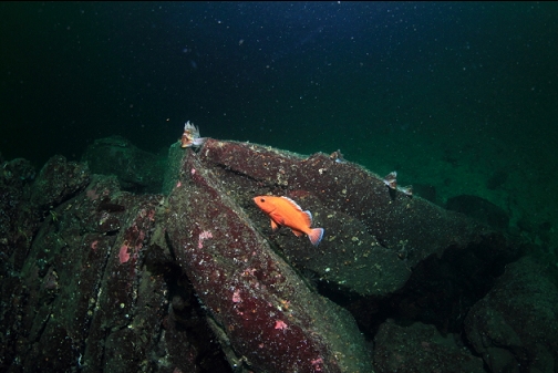
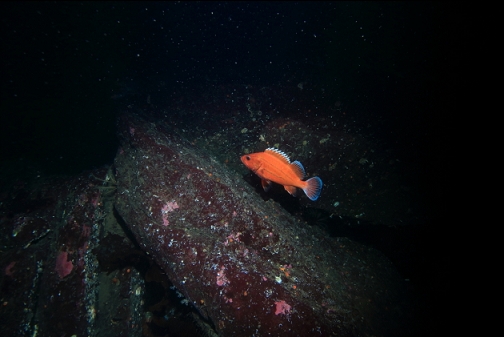
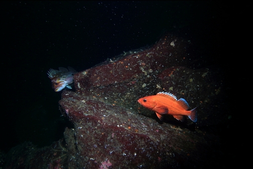
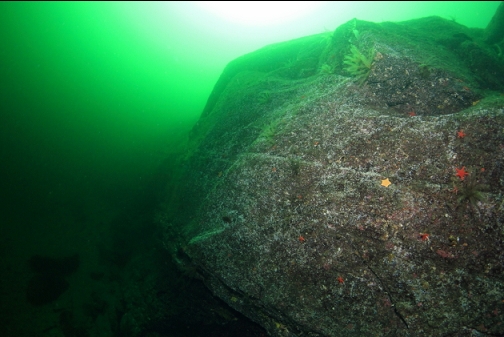
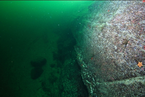
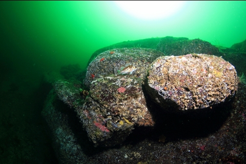
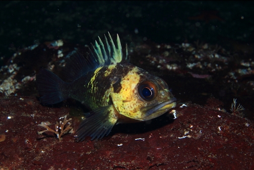
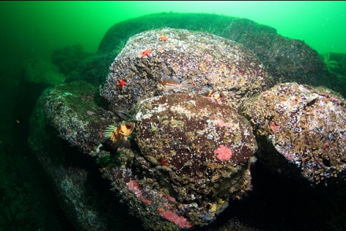
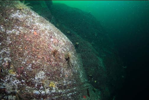
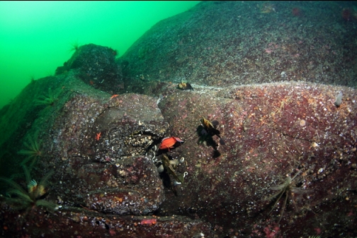
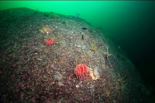
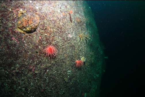
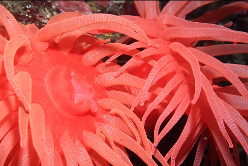
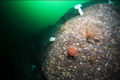
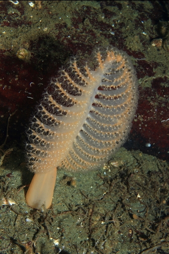
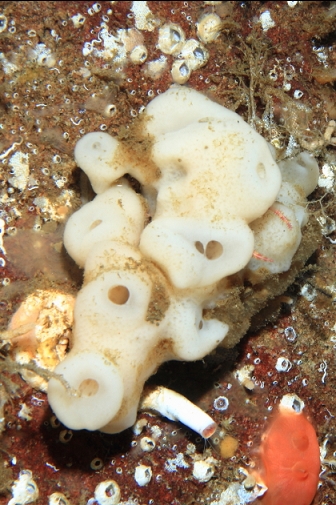
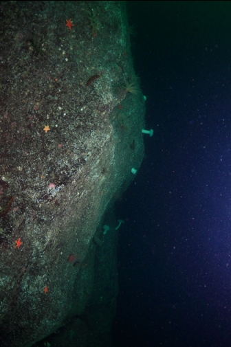
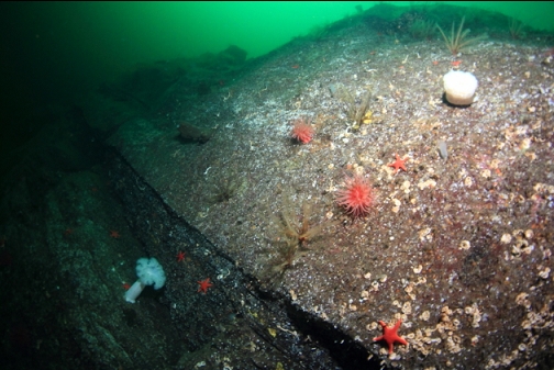
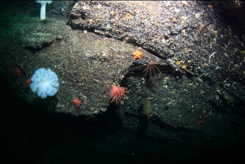
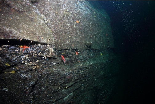
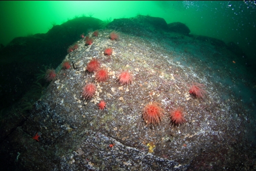
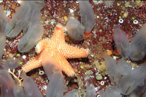
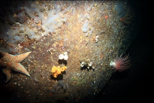
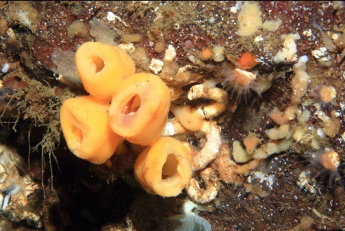
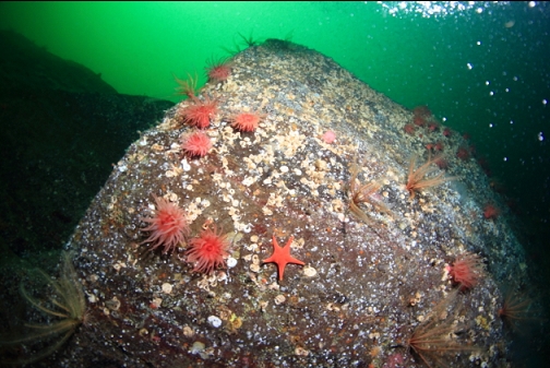
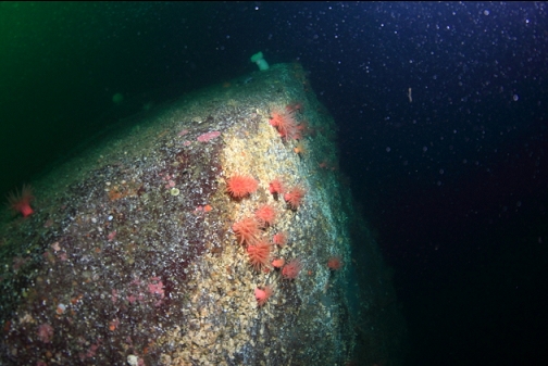
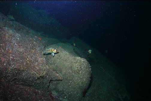
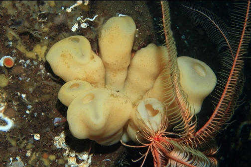
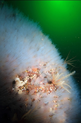
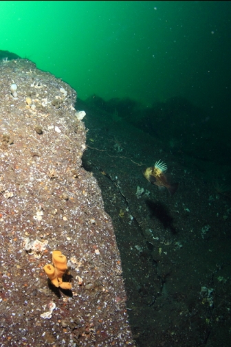
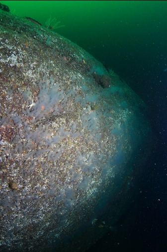
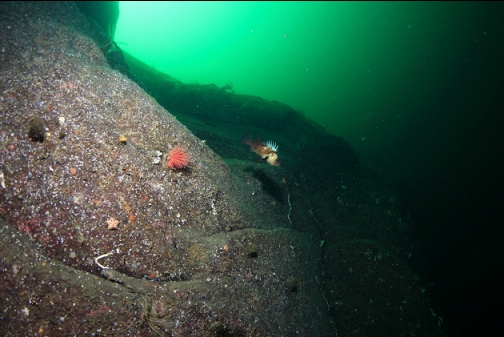
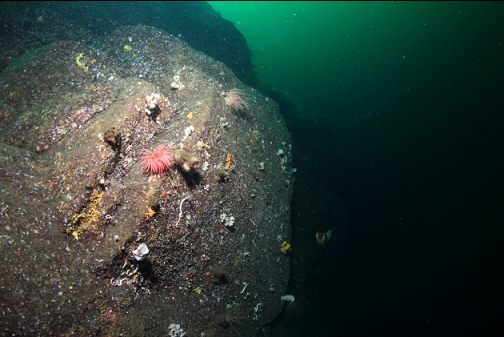
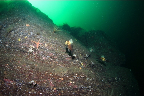
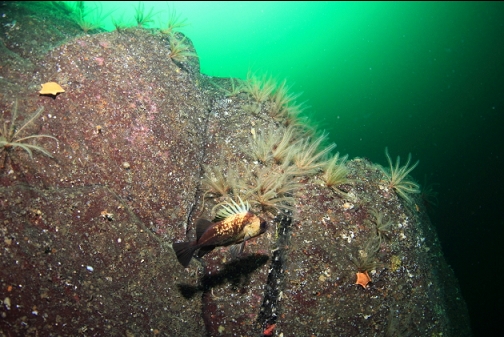
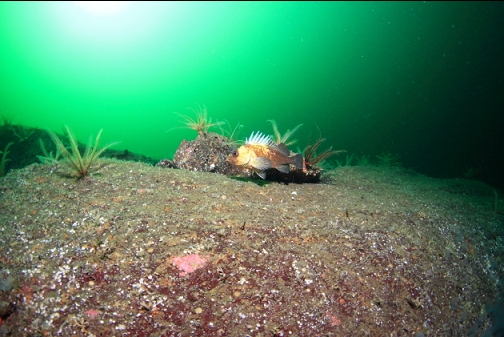
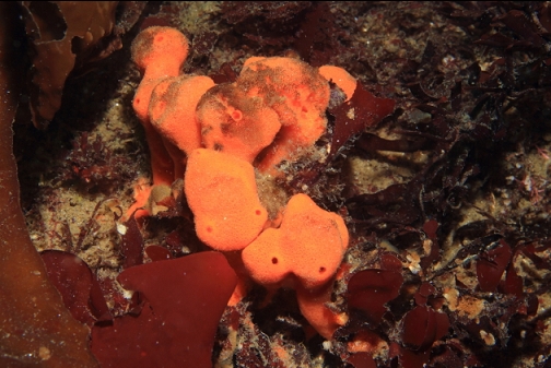
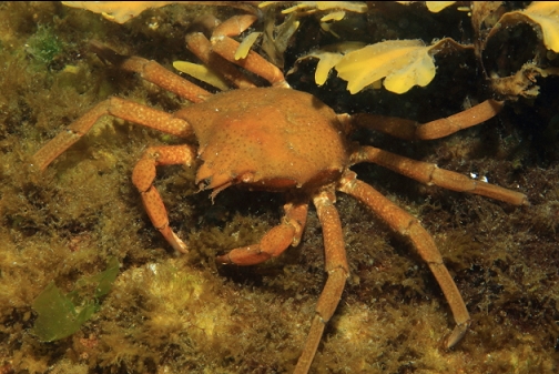
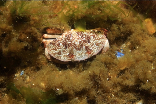
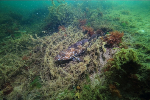
Eventually I reached a larger, steeper rocky area. If I remember right, this was about 60-70' deep. I followed this small ledge and it quickly grew into a big wall. The base of it gradually went deeper. My maximum depths were 120' on the first dive and 115' on the second. At those depths I was hovering next to the wall and I could see it dropping straight down another 15-20' below me. I'd guess the base of this wall goes deeper than 140' deep. The top of the wall was 70-80' deep. There were lots of rockfish (copper, quillback, tiger and yelloweye) around the wall. Some areas had large groups of crimson anemones. Other areas were covered with glassy tunicates and dozens of tiny cloud sponges. There were also feather stars and small boot sponges. Visibility out here on the wall was amazing. I'd guess well over 50'. I could easily see the entire wall. I wished I was able to take proper photos showing this whole scene, but the light levels were a bit low.
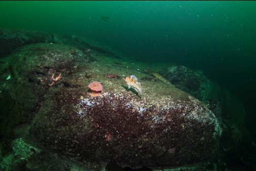
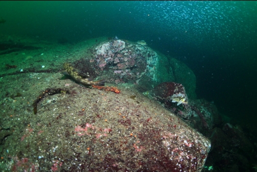
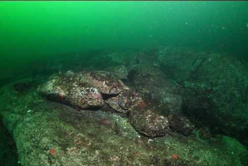
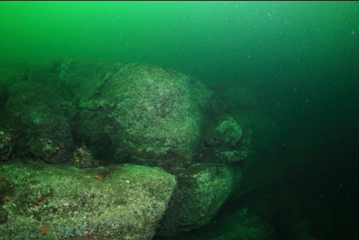
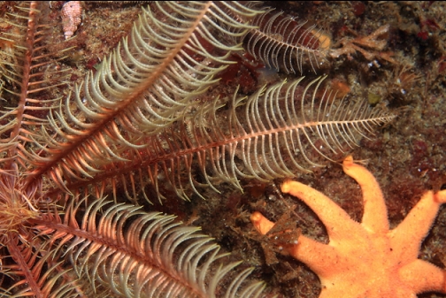
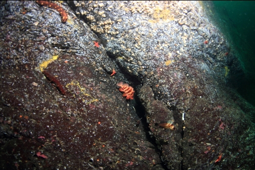
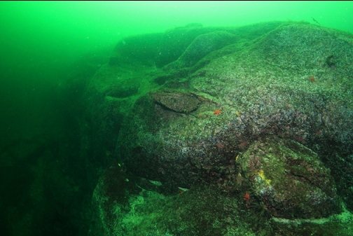
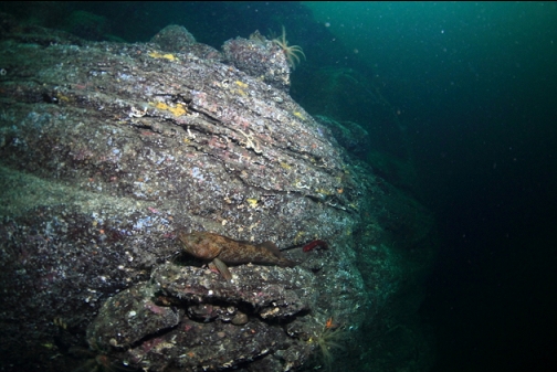
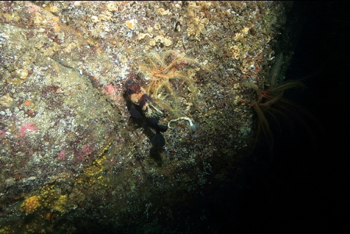
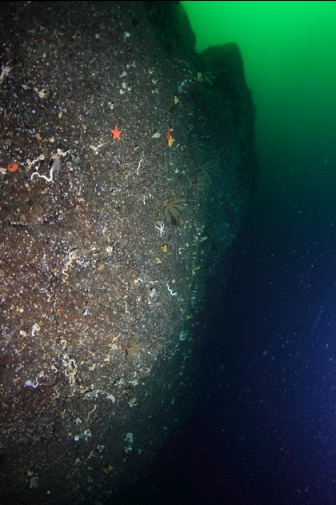
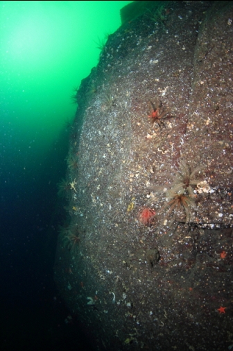
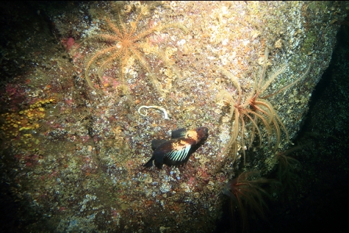
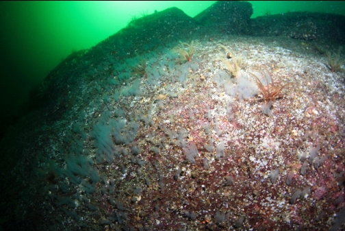
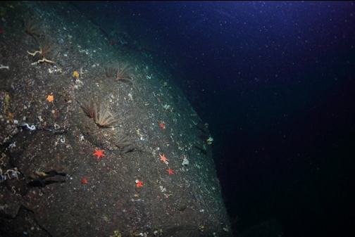
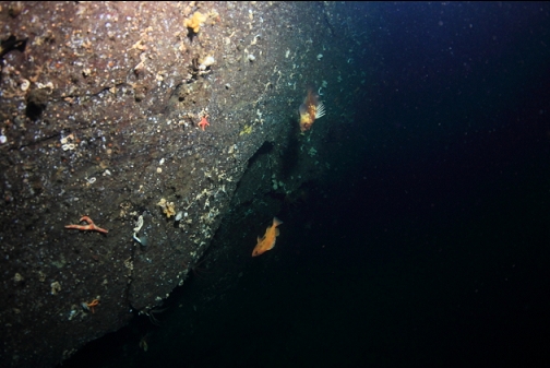
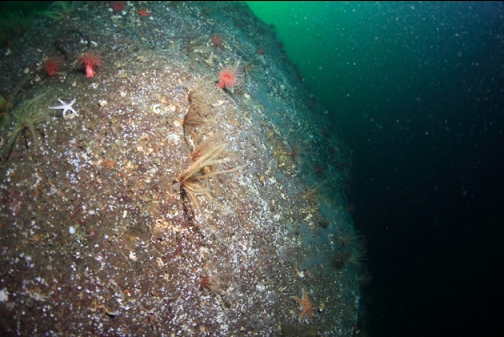
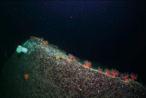
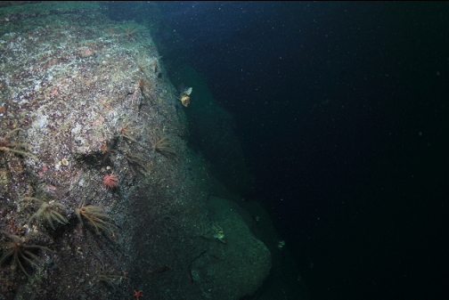
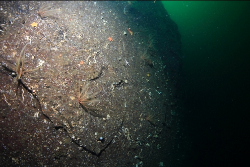
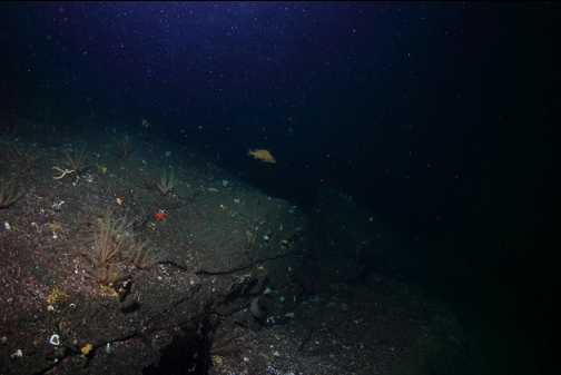
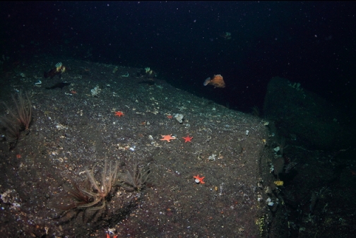
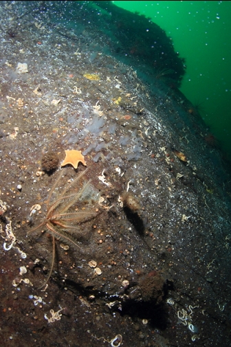
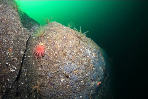
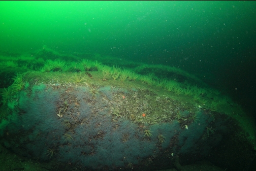
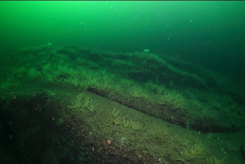
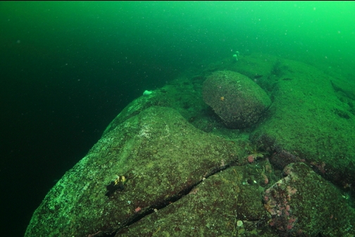
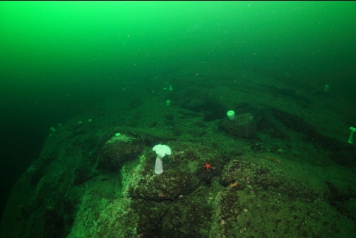
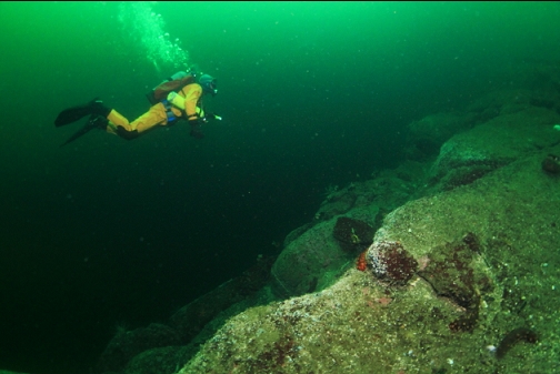
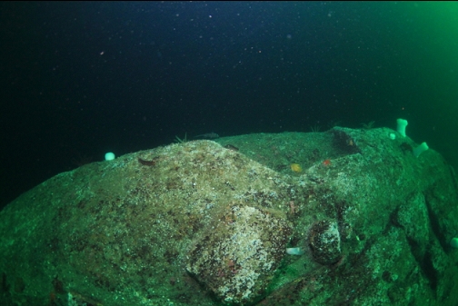
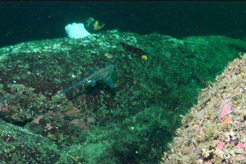
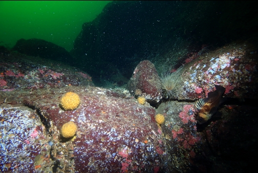
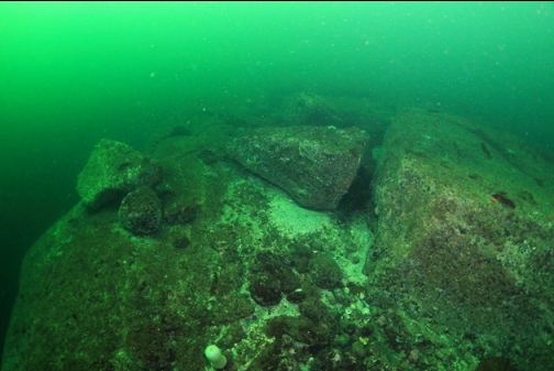
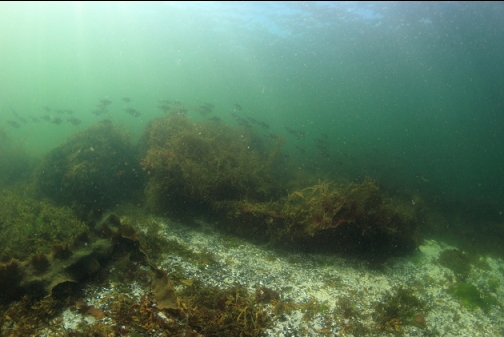
I swam back along the top of the wall (about 80' deep). Up here, above the deeper end of the wall, there was a wide, rock plain with low rolling hills covered with feather stars. As I continued to swim back slightly shallower along the top of the wall, there were less feather stars. The flat rock area had small ledges and boulders. I saw a ratfish on the first dive and then saw it again in the same area on the second.
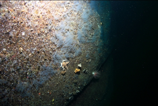
I reached the shallow end of the wall where it tapered down into the sand. I started swimming back up the sandy slope towards shore. On the first dive the current was pretty strong and it was flowing against me away from shore. This could be dangerous since it was a pretty long swim and because of the depth of the dive I had accumulated a decompression obligation. On the second dive, I was diving on slack and the current was barely noticeable.
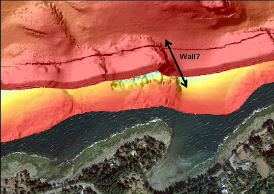
I'm a bit confused about how such a big wall doesn't seem to be shown on the marine chart. Maybe the depths are just right to slip between the contour lines. I'm assuming the wall is the area I marked on the sidescan image. I wished I checked my compass out on the wall to verify what orientation the wall was to the shore. Regardless of what the chart and the sidescan images show, there is a big wall out there that is now my 3rd-favourite dive on Gabriola Island (after Orlebar Point and Gabriola Pass). I'll have to come back to explore the area more. In the future, I'll be sure to dive on a smaller-current day or on slack.