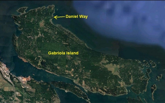
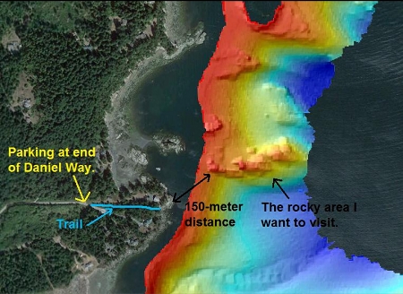
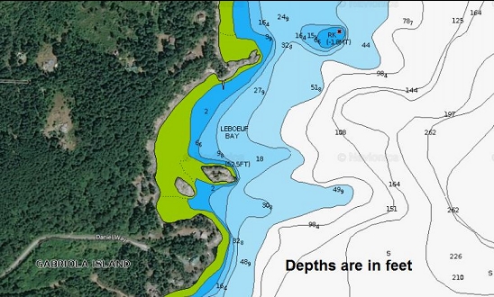
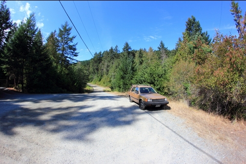
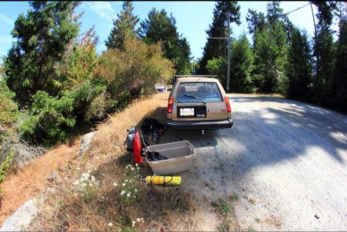
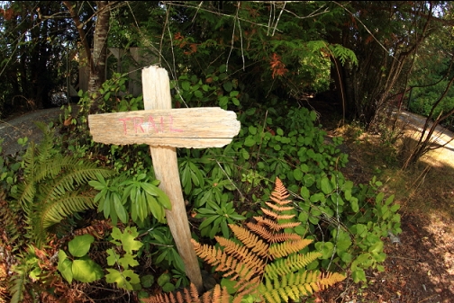
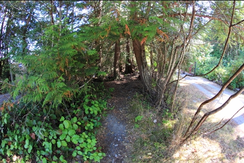
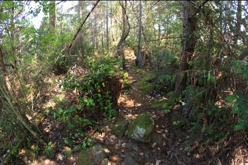
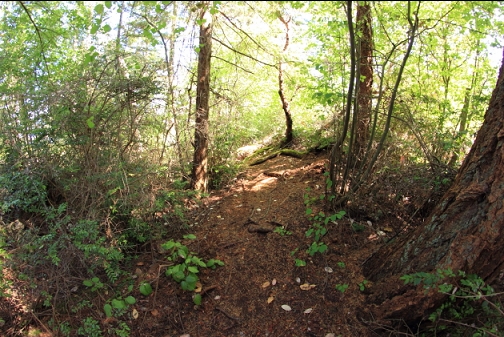
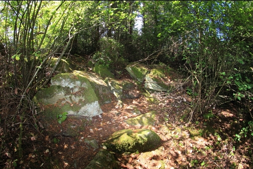
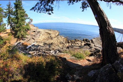
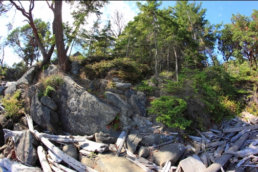
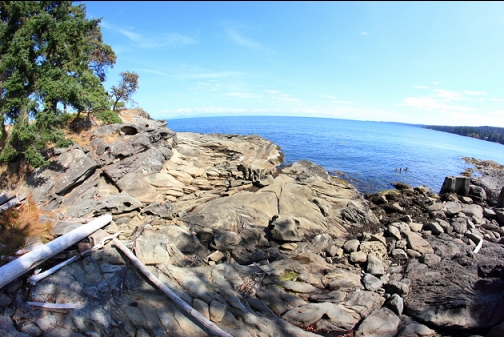
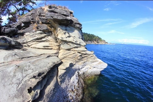
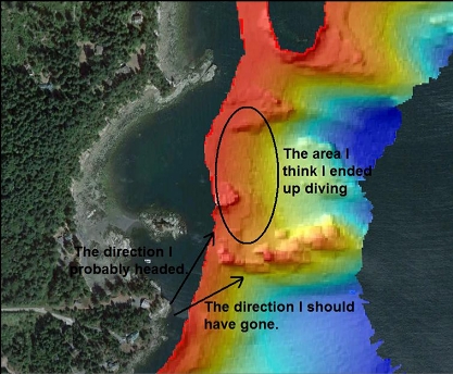
This site is a small, unnamed point sticking out near the North-East tip of Gabriola Island. At the end of Daniel Way there is a public access trail to the sandstone shoreline. A sidescan sonar image shows a finger-like rocky reef sticking out near the point. According to the marine chart, this reef drops off on the South side to at least 100' deep. I parked at the end of Daniel Way and walked down the rough trail for a dive on Sept. 1, 2018. The awkward and semi-long trail might explain why I've never heard of anyone diving here before.
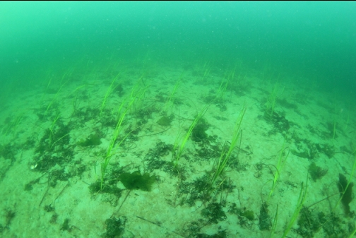
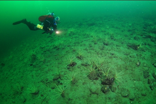
The shoreline dropped off underwater to a sandy bottom about 20-30' deep. I started following my compass out towards where I thought the rocky reef was.
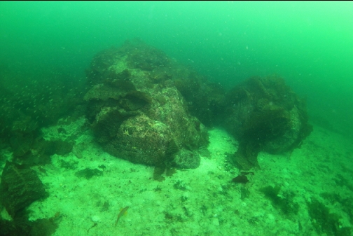
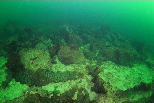
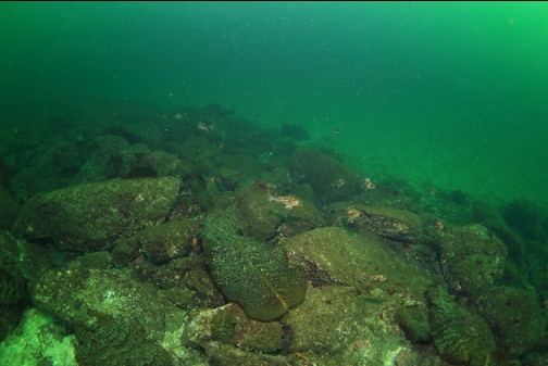
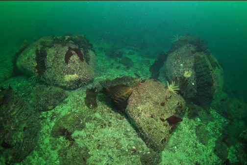
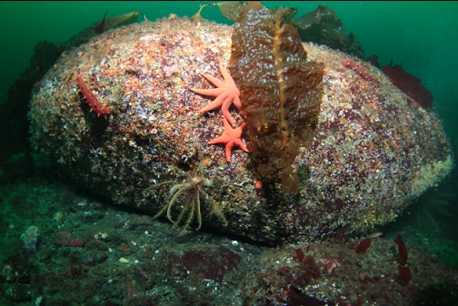
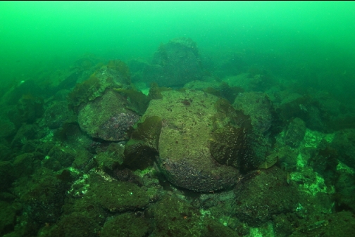
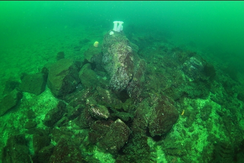
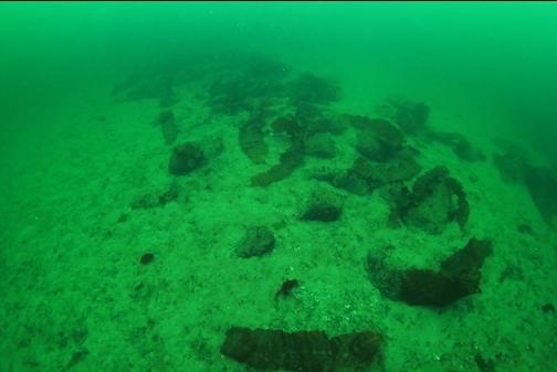
After a longer than expected swim across the featureless sandy bottom, I came across some large boulders about 45' deep.
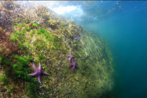
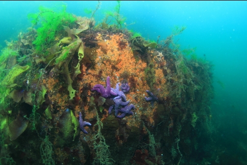
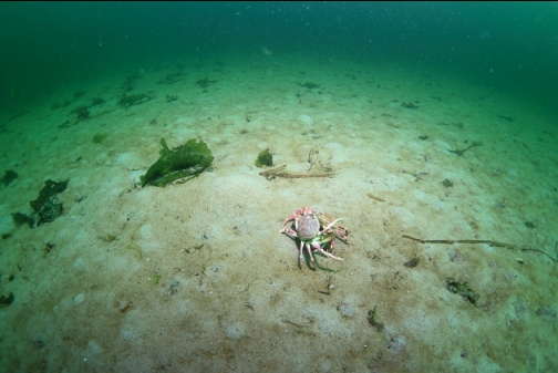
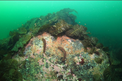
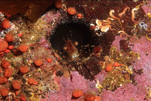
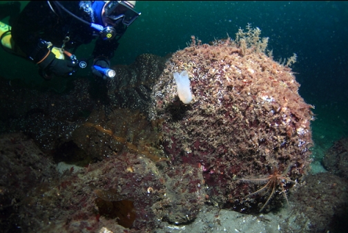
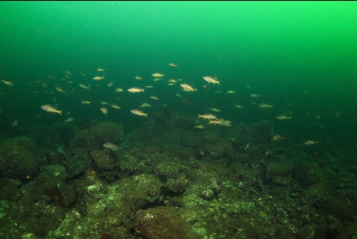
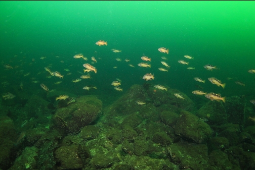
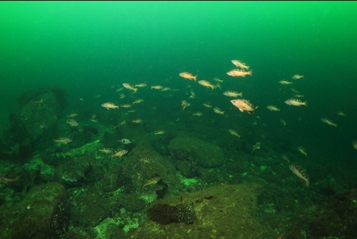
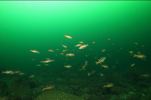
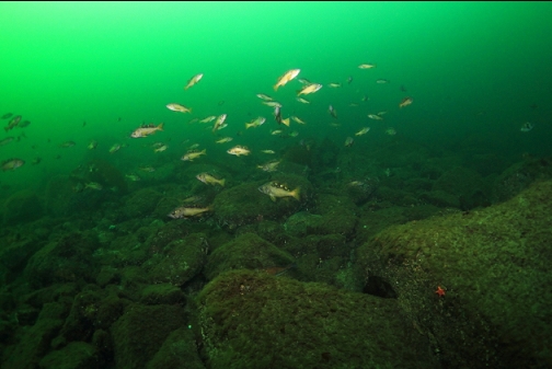
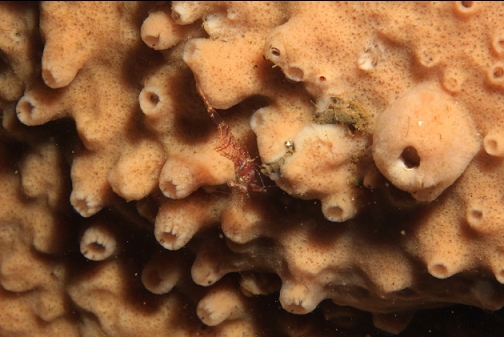
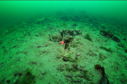
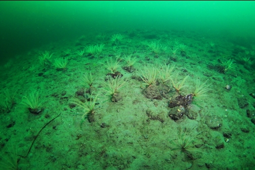
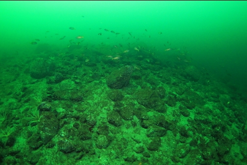
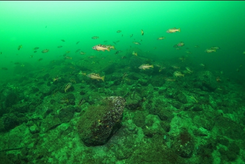
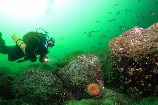
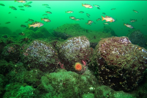
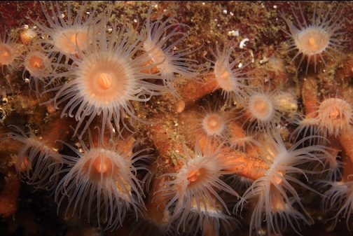
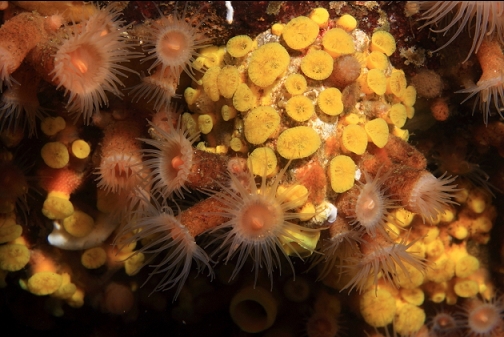
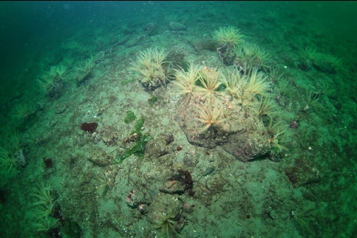
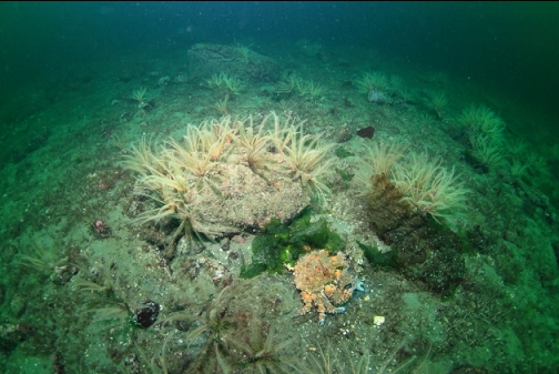
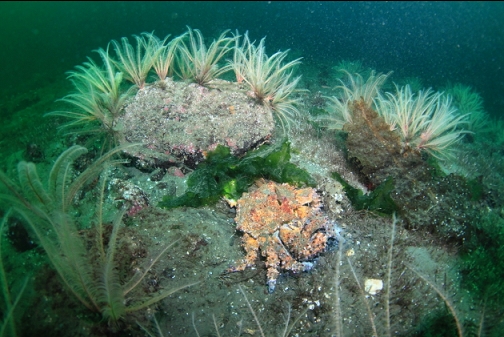
I followed the trail of scattered boulders to a small slope of smaller rocks. This area went down to about 65' deep. There were small quillback and copper rockfish, some feather stars and a school of medium-sized yellowtail rockfish. I saw 2 baby Puget Sound king crabs. At this depth, visibility was about 50'.
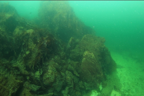
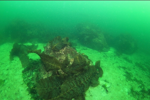
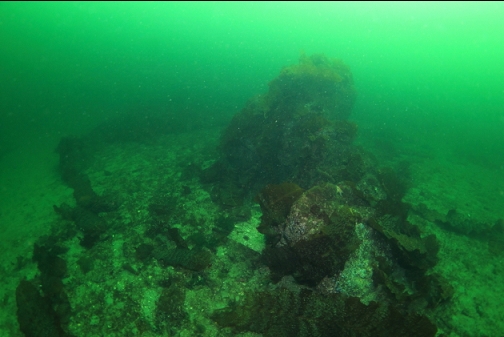
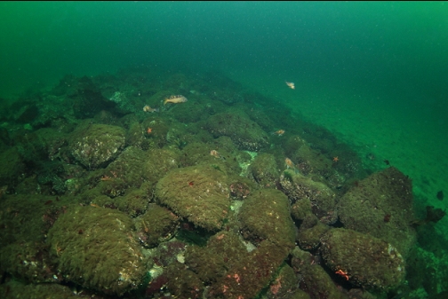
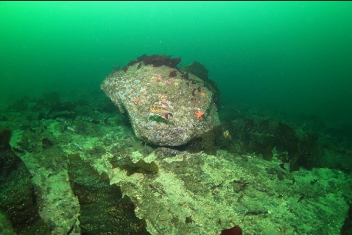
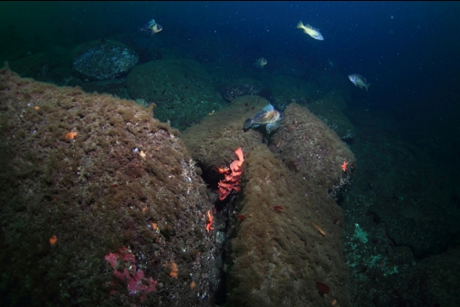
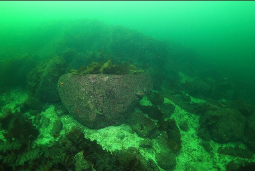
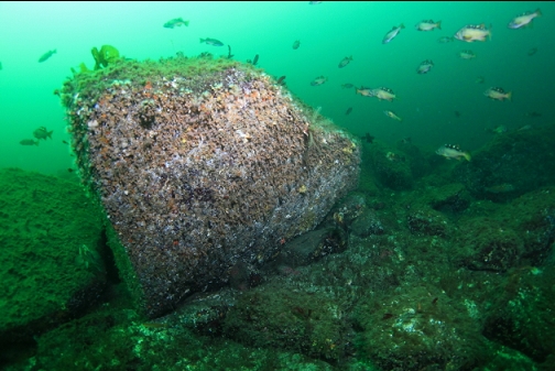
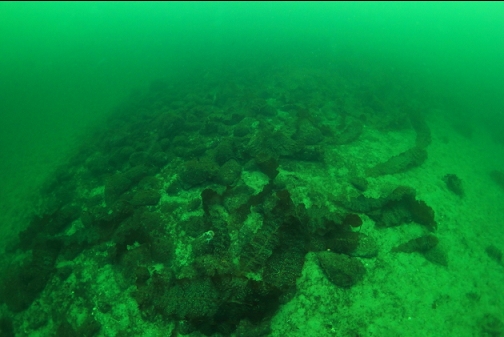
The chain of scattered boulders and the rubble slope ended in a larger, solid rock reef. The strange thing is that the bottom was getting shallower. The sand around this reef was only 45' deep. This was when I started getting suspicious that the area I had been diving wasn't the area I had intended to dive.
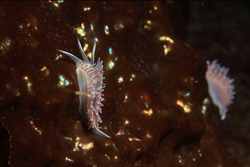
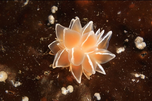
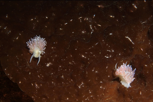
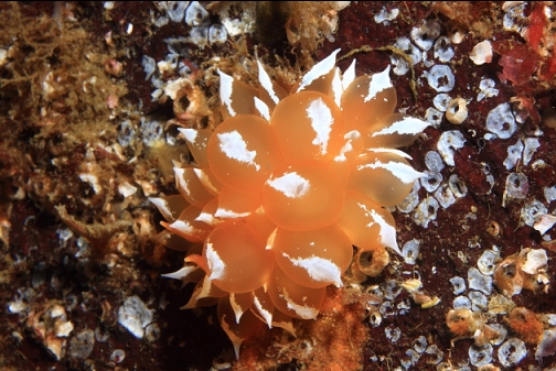
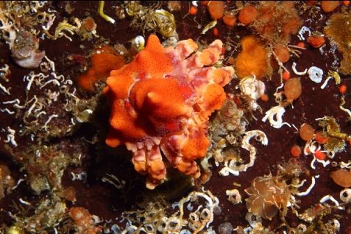
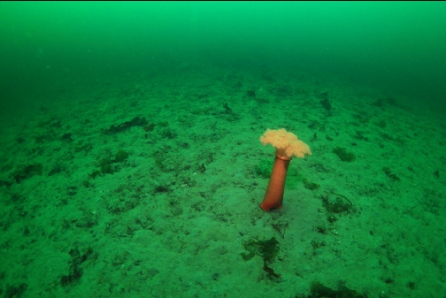
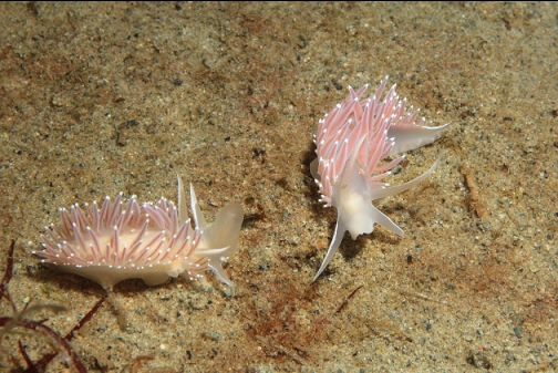
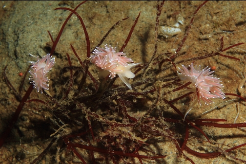
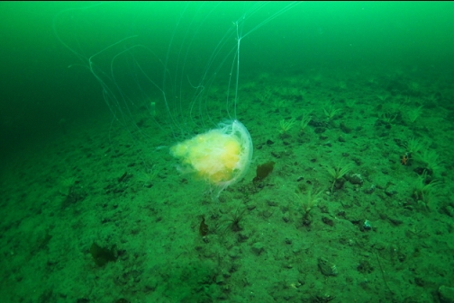
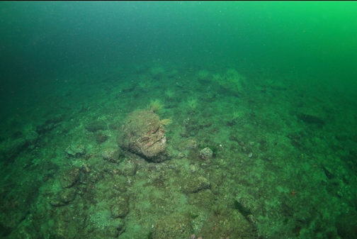
I swam out over the sand bottom for a long way, hoping to find the steep dropoff promised by the marine chart. I only reached a depth of 79' before giving up. There were no rocky areas out here, just sand, a couple of orange plumose anemones and lots of small nudibranchs.
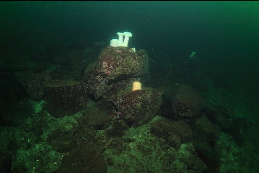
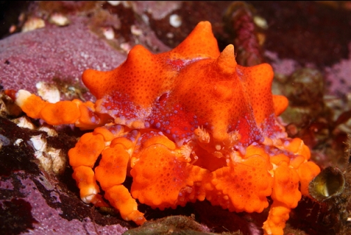
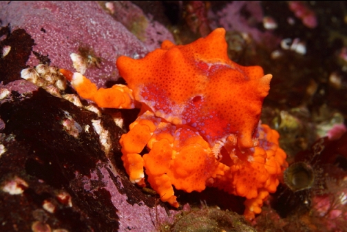
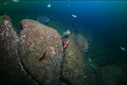
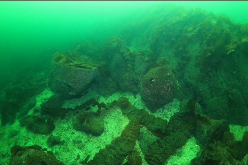
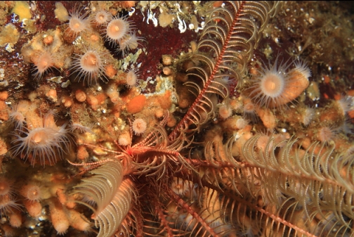
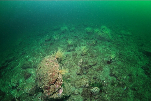
I started the swim back to shore along the base of the rubble slope. There were lots of feather stars on the bottom around 70' deep. I also saw a large Puget Sound king crab that was either dead or a moult.
Due to getting low on air, I ended up ascending to the shallows in mid-water and following my compass towards shore while doing a safety stop. I then swam the rest of the way back to shore on the surface. The dive was enjoyable enough, but given the somewhat-difficult access trail and the long swim, I wasn't planning on coming back. Later though, after remembering my suspicions about not finding the reef I was looking for, I had a close look at the sidescan image and the marine chart. I'm now pretty sure that I swam in a wrong direction and ended up in a different area farther to the North. The shallower than expected depths and the scattered boulders instead of the more solid reef promised by the sidescan image, mostly convince me that I didn't find the reef after all. Now I want to go back and try again.