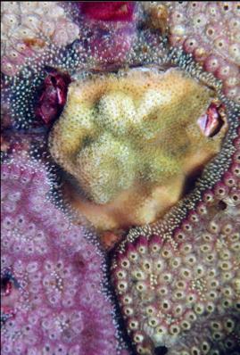
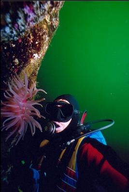
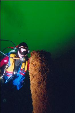
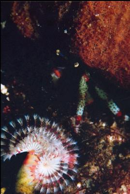
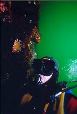
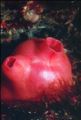
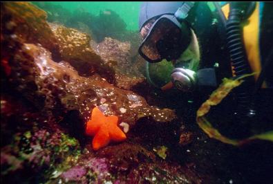
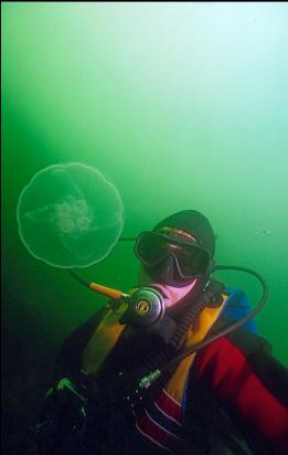
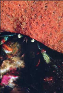
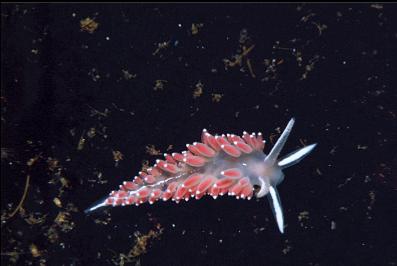
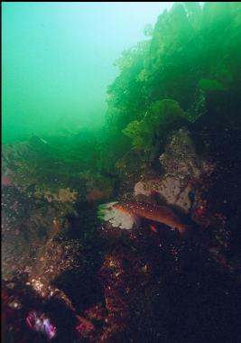
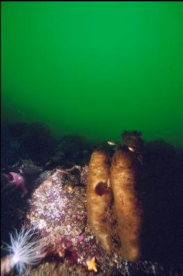
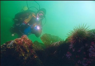
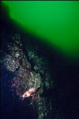
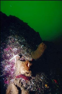
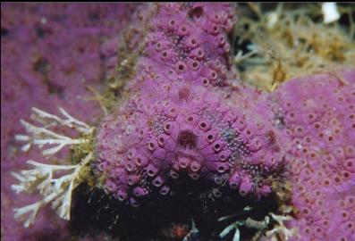
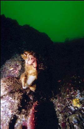
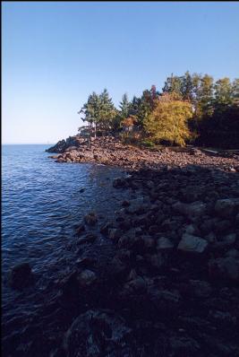
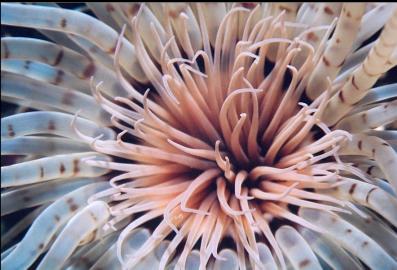
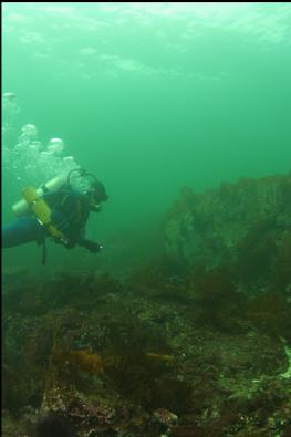
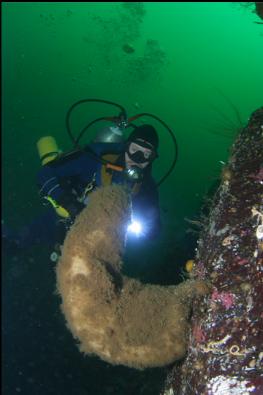
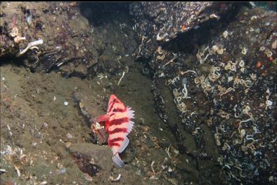
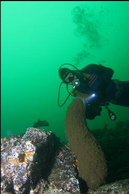
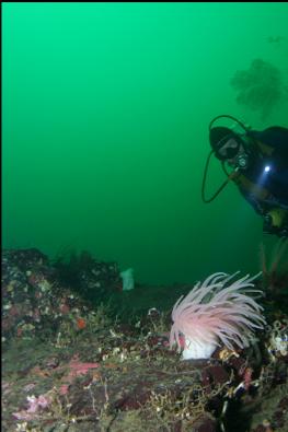
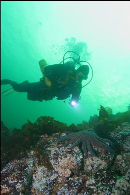
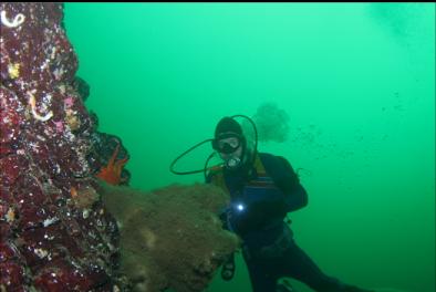
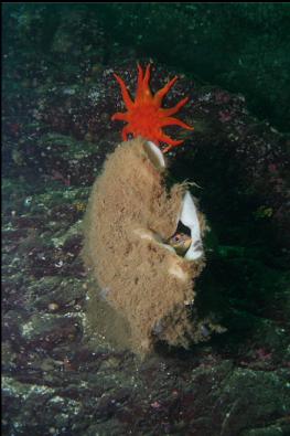
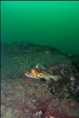
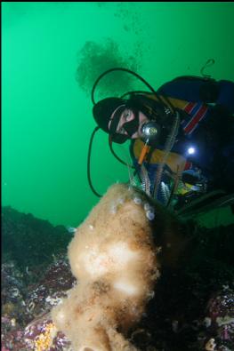
This is the next beach over from Blueback Community Park (going West). The road (Blueback Drive) goes right next to the water and you only have to walk a few steps through the screen of trees before you're on the beach. There isn't a parking lot or anything, but I just parked on the shoulder. I came here for a second dive after Madrona Point in late September, 2006. The chart shows a steep area straight out from the beach. It looks pretty far on the chart, but in diving guide books and websites, this wall is mentioned as a popular shore dive. I used a compass and swam straight out from the beach underwater. The bottom was a gently-sloping series of rocky reefs covered with bottom kelp. I couldn't see much of the bottom because of the kelp, but some of the rock I did see was covered with patches of colourful colonial tunicates. These were even growing on some of the kelp blades. There were groups of copper rockfish, kelp greenlings and lingcod in these depths (20-40 feet). There were also quite a few moon jellyfish. Visibility was only around 10 feet. After a loooong swim (It seemed much longer than the swim at Madrona Point), the wall plunged down starting at around 60 feet deep. By this depth, visibility had cleared to around 30 feet. There were hardly any fish on the wall (only a few quillback/copper rockfish and a small cabezon), but boot sponges were everywhere. They started near the top of the wall and continued down to past 100 feet. This place probably has the most boot sponges I've seen anywhere. I also saw a tiny, unhealthy-looking cloud sponge. The base of the wall was about 110 feet deep where I started and eventually sloped deeper as I swam East. It seemed to go down to at least 130 feet. I couldn't spend much time on the wall because of accumulated nitrogen from my previous dive and I had to save air for the swim back. The swim back, by the way, seemed even longer than the swim out. I wonder if I swam at a weird angle, because I haven't heard of a crazy swim here from other divers. Maybe the magnet I use to attach the compass to my wrist altered the headings a bit. The boot sponges are impressive, but I think Madrona Point is a much better dive. I'll have to give this place another chance in the winter when the visibility is better and the kelp dies off.
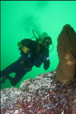
This time I didn't bother using a compass, but swam straight out and slightly to the right, following a kind of gravel-bottomed "trench" with rocky reefs on each side. After a shorter swim than last time I reached a wall on my left (the top of the wall was around 60 feet deep). Last time the wall started on my right, so I assume this is the other end of that wall. I went down to around 120 feet and the base of the wall seemed to be around 130 feet deep. Visibility was a healthy 40 feet or so from top to bottom.