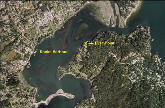
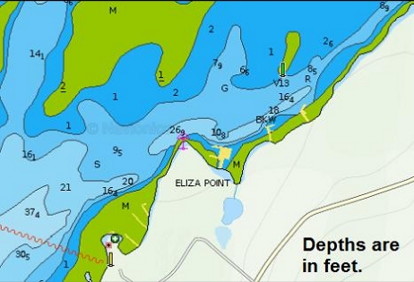
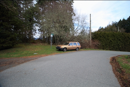
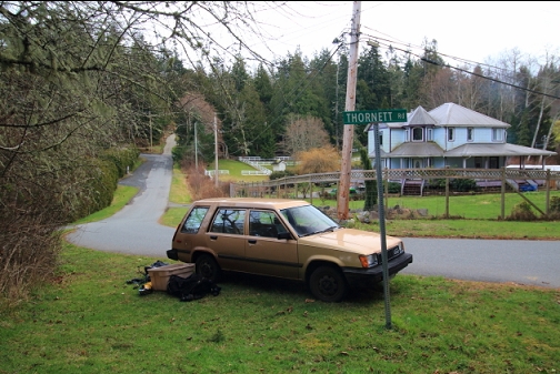
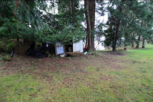
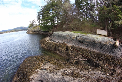
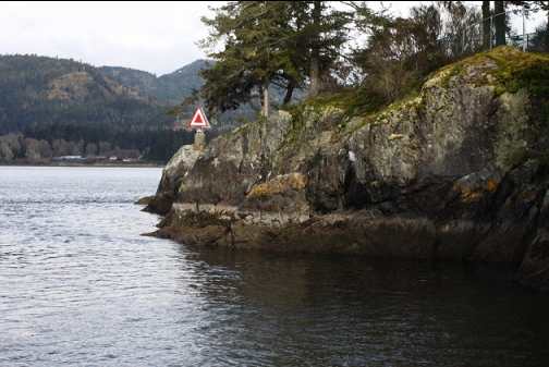
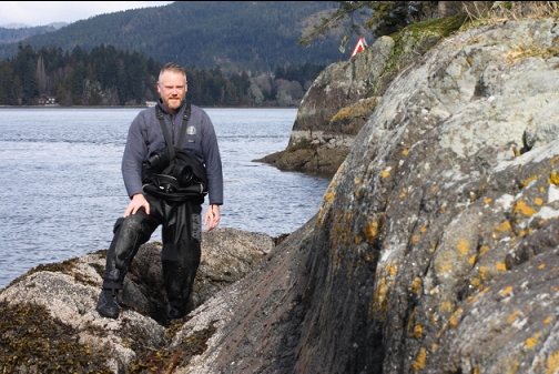
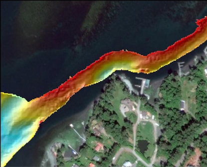
Eliza Point is a small point on the East Sooke side of Sooke Harbour. I assume it was named after Francisco de Eliza, a Spanish explorer that was in the area in the 1790's. Underwater, the chart shows a steep drop at the point to about 30' deep (26' at extreme low tide). I usually wouldn't bother diving such a shallow spot in Sooke Harbour/Basin, but there is enough current flowing past the point to make me feel optimistic that there might be more than silt here. The zoning map shows a public right-of-way to the water from the intersection of Eliza Point Rd. and Thornett Rd. I read an old CRD report that mentioned this right-of-way. It said that it was unmarked and uncleared, but it was still possible to walk along it down to the shoreline. It said that the adjacent property's lawn had encroached on part of it and a shed had been built on it. I ended up diving here on March 5, 2017.
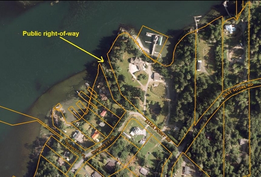
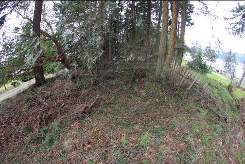
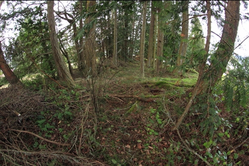
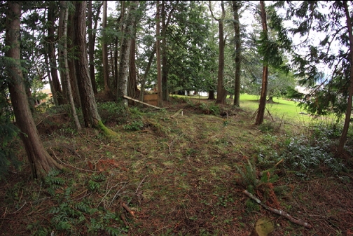
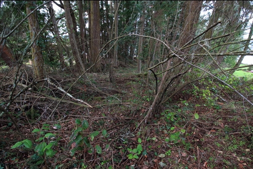
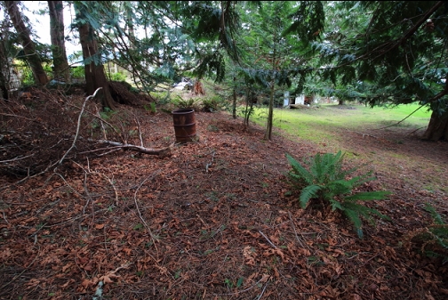
The trail was pretty overgrown and the neighbors were using it to dump piles of yard waste (branches). As described in the CRD report, the lower end seemed to be part of the neighbor's lawn and there was still the shed built on it. There were some strips of orange surveying tape tied to some tree branches along where the zoning map showed the boundary between the right-of-way and the private property. Basically, when I was walking down the end of the trail I felt like I was trespassing, but the zoning map, the CRD report and the survey tape convinced me that I wasn't. There were some adults and kids in the yard of the adjacent private property, but they didn't pay any attention to me (their dog came to say hello) so I don't think they thought I was trespassing either. In situations like this, I usually loudly sing nursery rhymes and wave my dive knife around (I have one of those massive old-fashioned dive knives that modern divers are taught to make fun of). This tactic temporarily disorients the locals and discourages them from telling me to go away. Today, I was confident enough in my non-trespassing status that I didn't even bother with this technique.
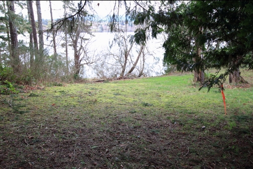
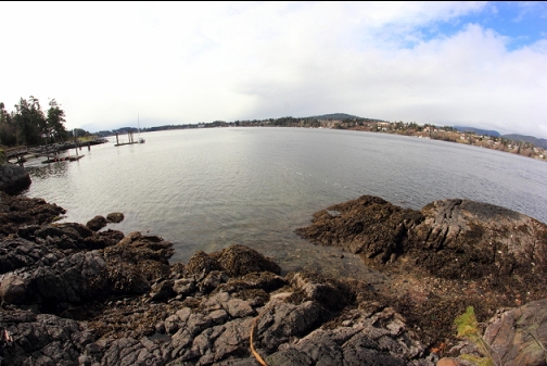
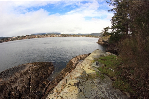
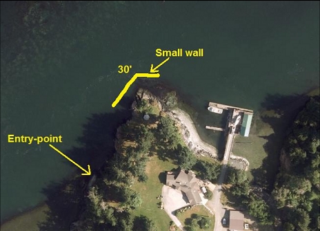
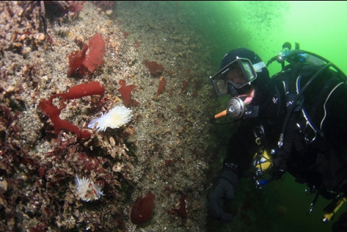
At the rocky shoreline, I could see Eliza Point just a bit off to my right. I swam towards it on the surface. Near the entry-point, the bottom was sand. I swam about halfway to the point and then descended to the sandy bottom. Visibility was only 10'.
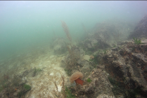
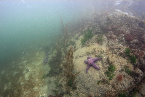
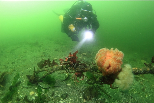
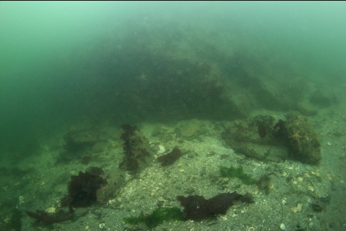
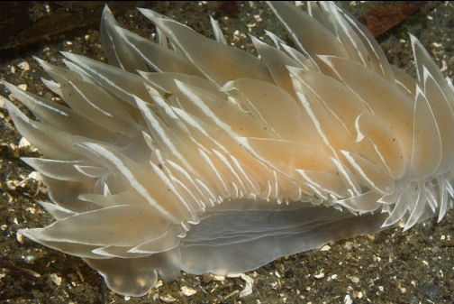
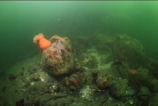
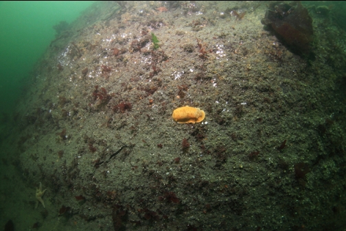
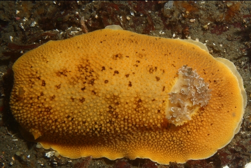
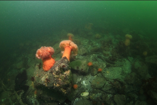
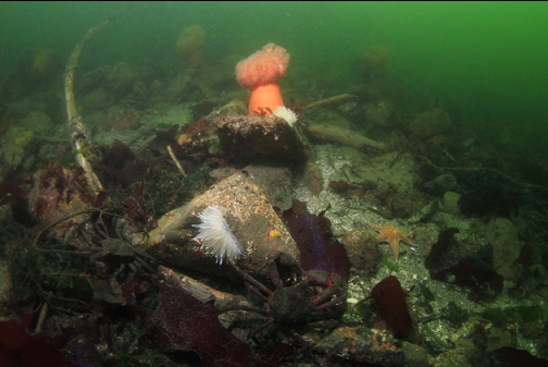
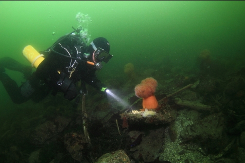
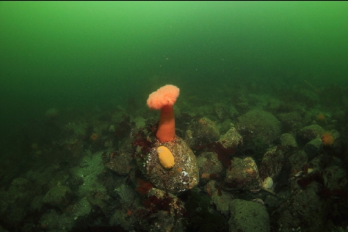
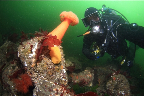
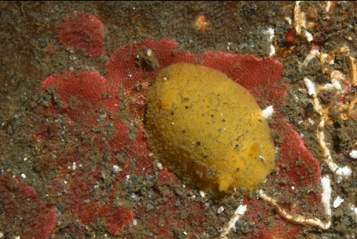
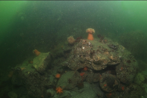
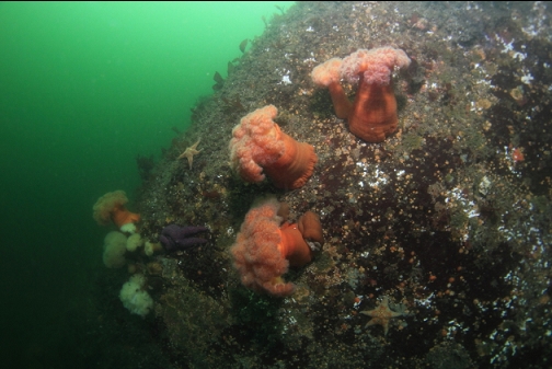
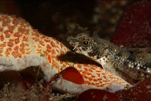
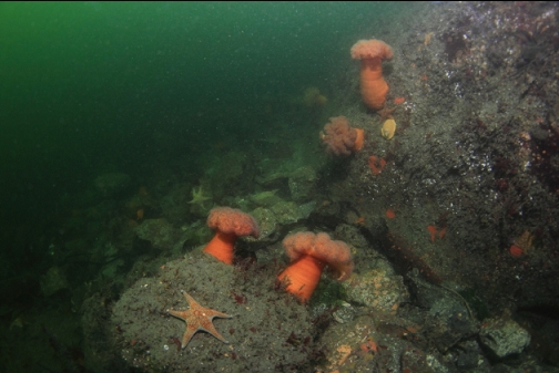
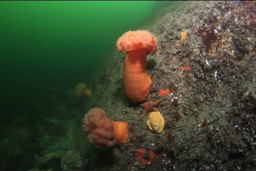
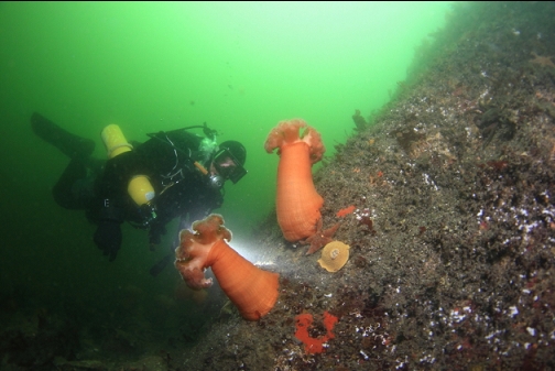
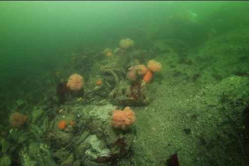
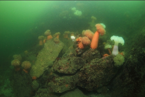
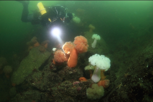
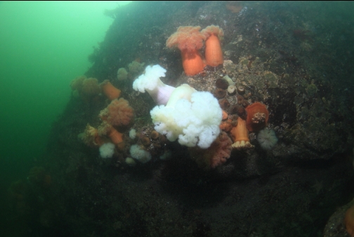
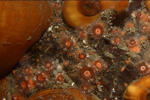
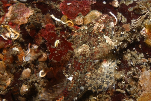
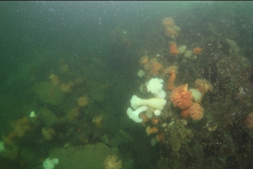
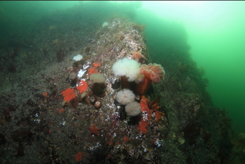
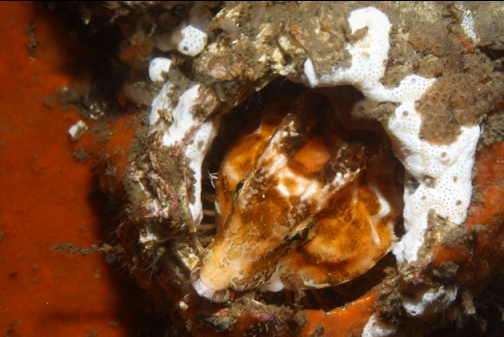
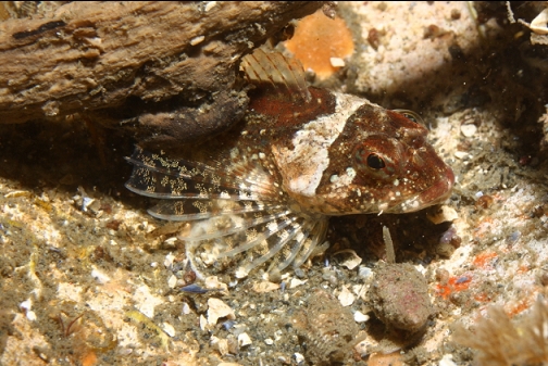
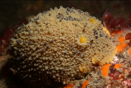
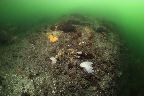
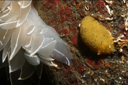
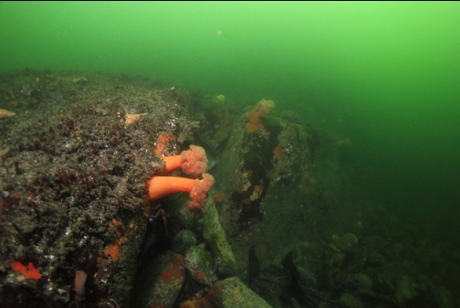
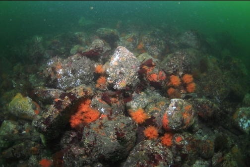
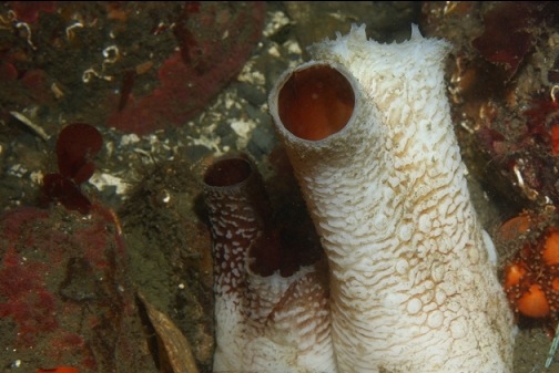
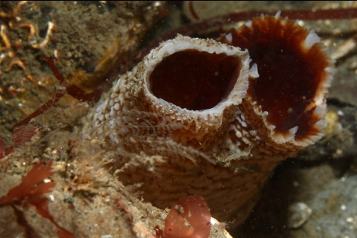
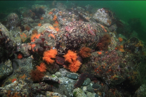
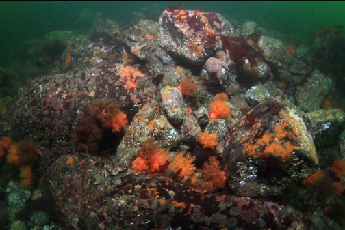
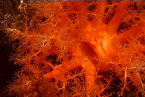
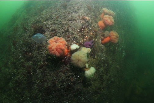
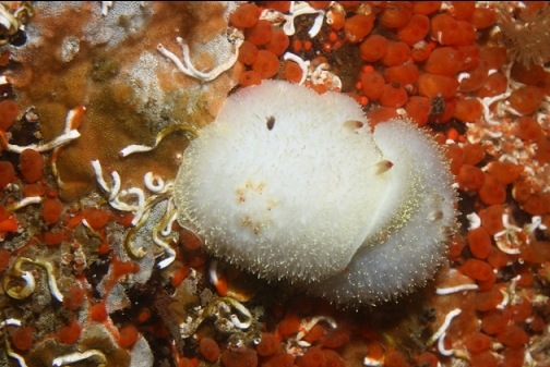
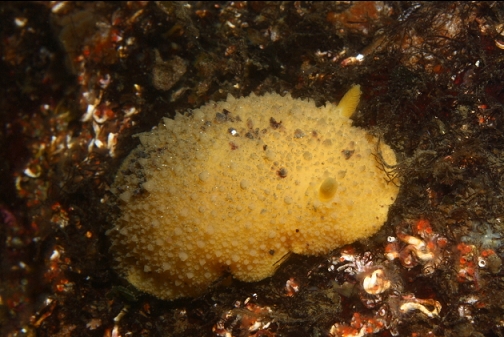
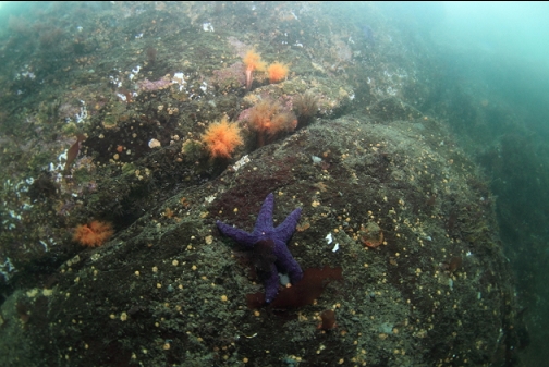
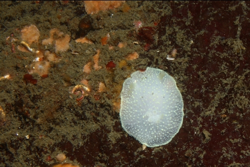
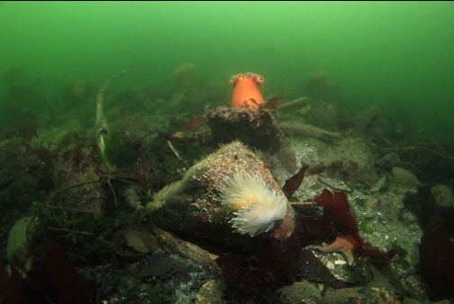
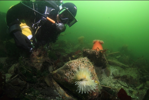
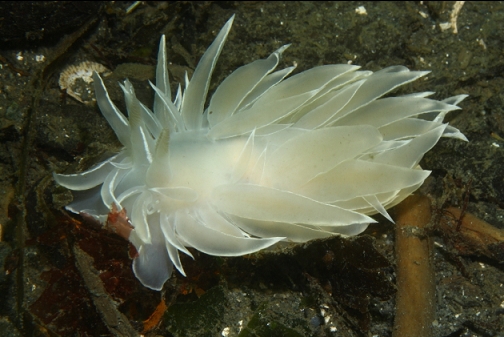
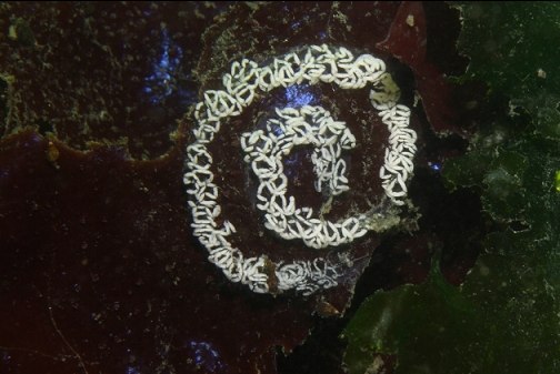
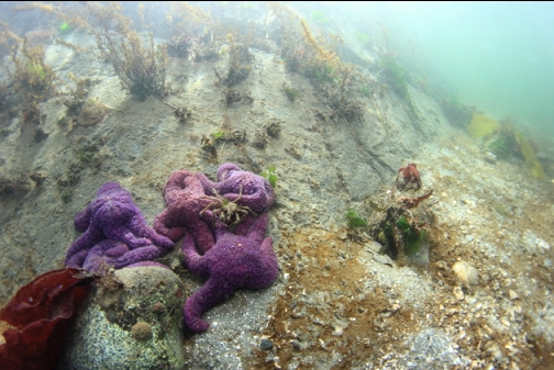
I soon reached the area around the point. There was a rock wall here dropping to abut 25' deep. At its base, there was a boulder/rubble slope going down slightly deeper. My maximum depth was 32'. I was diving in the middle of a large ebb tide (Sooke tide table) and I could feel a semi-strong current that seemed to be swirling around in different directions. At one point it was pushing me straight down against the bottom. There was enough invertebrate life to make the dive interesting. There were plumose anemones (mostly orange), burrowing cucumbers, kelp crabs, and a few kinds of nudibranchs (mostly alabaster). The largest fish I saw was a kelp greenling swimming away in the distance. There were a few juvenile yellowtail rockfish in a crack. When I swam around the corner of the point the current was too strong to swim against so I didn't get to explore the far side of the point. The current was even too strong for the alabaster nudibranchs to hang on. I saw several of them tumbling along the bottom with the current.
If the visibility was better and access was easier, divers would probably come here once in a while. I think there are better spots in Sooke Harbour/Basin so I likely won't come here again.