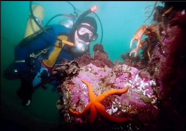
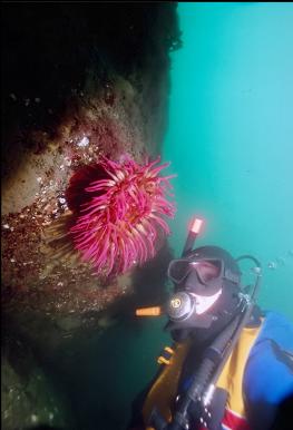
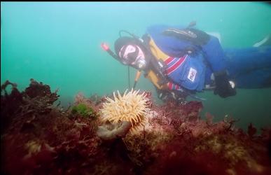
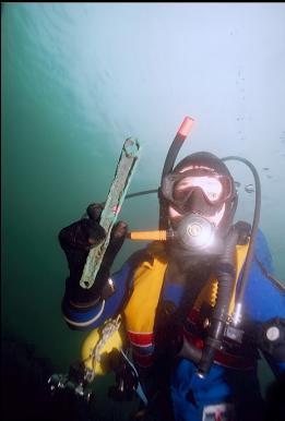
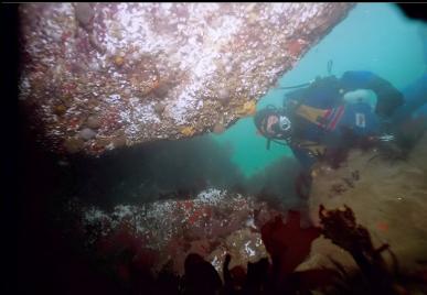
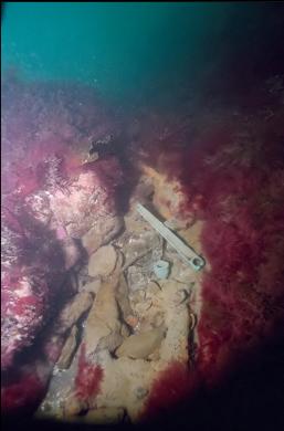
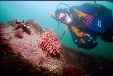
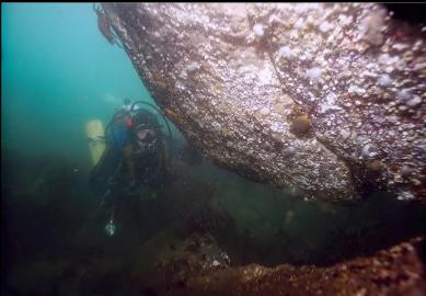
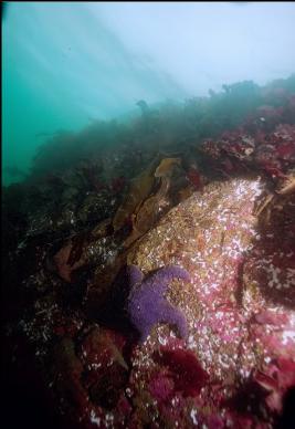
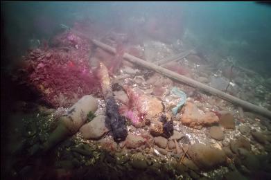
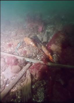
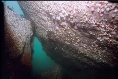
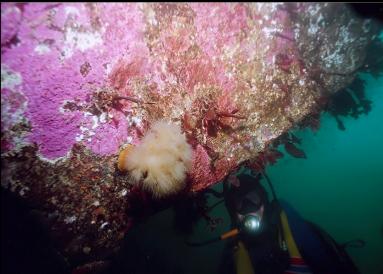
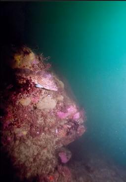
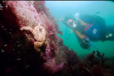
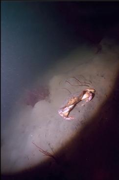
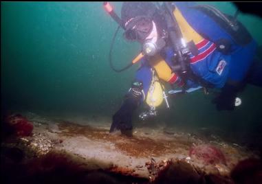
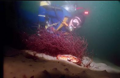
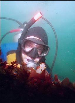
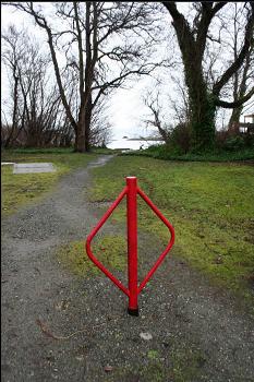
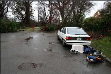
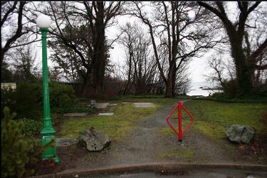
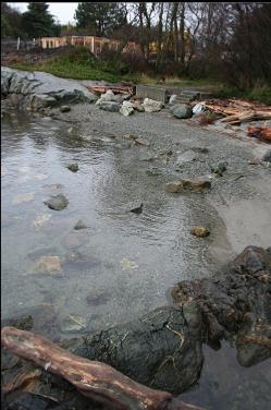
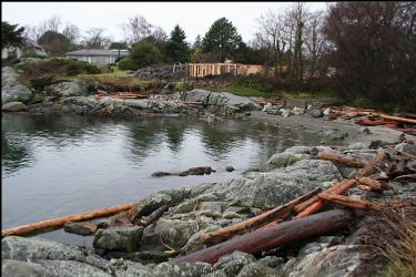
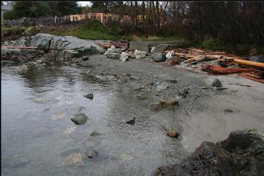
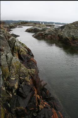
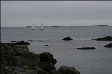
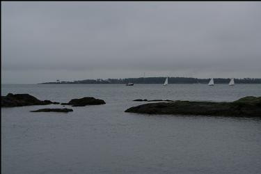
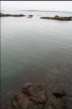
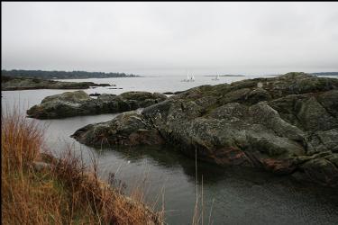
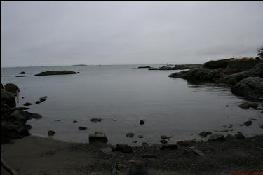
I came here looking for the wreck of the Enterprise, a sidewheel paddle steamer that collided with another steamer off Ten Mile Point in 1885 and was towed and beached in the shallows in the Cadboro Bay area. It remained visible above water until at least the early 1900's. All of this info is from the book: "Historic shipwrecks of Southern Vancouver Island" put out by the Underwater Archaeological Society of British Columbia. Unfortunately, the exact location of the wreck has been lost. An old photo in the book shows the wreck sitting half sunk with a few small salvage boats around it. Judging by the submerged portion of the paddle wheel and the ship's normal draft, I guessed that the bottom where the wreck was resting was about 15 feet deep. I also figured that any vessel towing a sinking ship would try to beach it as soon as possible and not go all the way to the head of Cadboro Bay. Once a ship is clear of Baynes Channel and Jemmy Jones Island, the closest place to dump it would be North of Cattle Point just outside the Southern Point of Cadboro Bay. I looked on the chart and there are two small coves here called "Funnel Cove" (the Enterprise had a massive, 30-foot-high funnel) and "Flotsam Cove". Of course Funnel Cove could be named after the "funnel" shape of the cove and the "flotsam" doesn't necessarily mean "wreck-related" flotsam. Another weird thing was that the name of the road leading down to Funnel Cove was "Rutland Road". The name of the captain of the Enterprise when it sank was "Rudlin". Of course all of this was probably irrelevant coincidence, but it gave me an excuse to try out a new spot. There is a short public access trail at the end of Rutland Road (in the Uplands neighborhood) that leads down to Funnel Cove. I came here in early February, 2007. I swam out past some exposed rocks/islets at the mouth of the cove and turned left. These islets continued underwater in a series of rocky reefs that bottomed out at around 15-30 feet deep. These reefs were pretty bare and silty. Some were covered with red seaweed. There were various kinds of anemones and seastars here and there. Visibility was around 15 feet. Eventually, I reached a larger island (to the North) that dropped down a bit steeper underwater. It was still pretty shallow and there was a flat silt bottom at about 30 feet. There were a few areas here around 15 feet deep that had quite a bit of junk laying around that could have been from a wreck. There were lots of copper pipes, chunks of iron and bronze bits of machinery (a pulley, some kind of handle from a winch or valve, etc.) . One area had a slope of rubble that turned out to be chunks of metal covered with that red seaweed. There was a large chain with links about 4" long, more pipe and unrecognisable chunks of metal cemented together and to the rocks. At the bottom of the slope there was a flat sheet of iron or steel half-buried in the sand. There were more corroded chunks of iron and copper pipe here too along with some bottles (they didn't seem old enough to be from the 1800's). I don't think all of this was from the Enterprise. It was too close to the shore to match up with the old photo and there didn't seem to be enough of it. Of course there wouldn't be much left after 120 years, but it would be spread over a wider area. The stuff I saw was in small groups about 6 feet square. Oh well, it may have come from a smaller, forgotten wreck. I swam back to Funnel Cove. At the shallow reefs near the entrance there was a boulder with a small cavern-like tunnel under it. It was too small to swim through, but there were small white anemones and kelp crabs under it on the "ceiling".