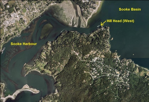
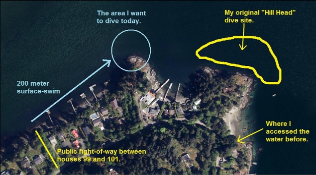
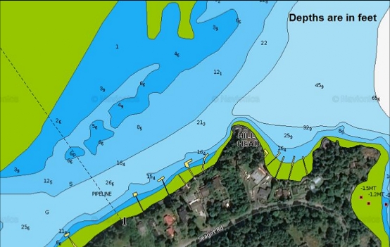
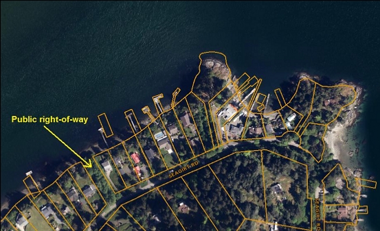
This is another of the spots that I've been trying in the Sooke Harbour/Basin area. Usually when I dive Hill Head, I swim out from a different public access trail and dive around the Eastern part of the point. This time I wanted to try diving around the west side of the "Head", which forms a distinct point sticking out into the water into the Billings Spit narrows. I was impressed by the marine life at the nearby original Hill Head dive site and I wanted to see what the life was like at this spot where there should be even more current. A public right-of-way trail runs from Seagirt Rd. to the water about 200 meters from the point. The marine chart shows a drop to about 40' deep at the point.
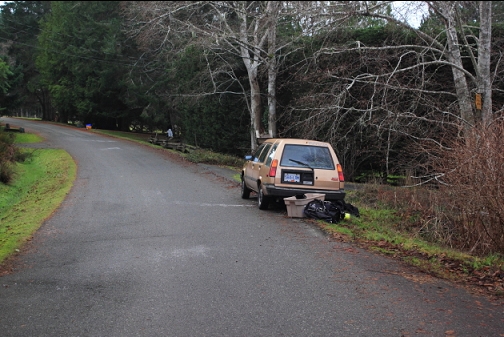
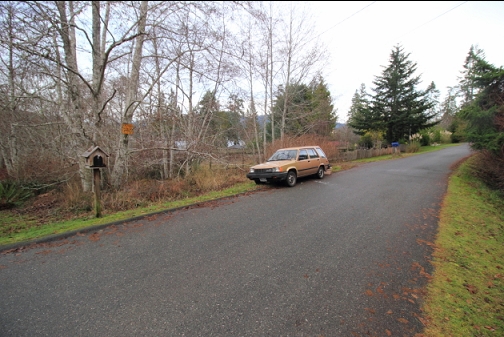
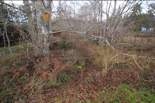
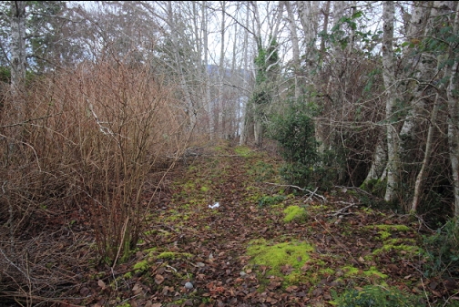
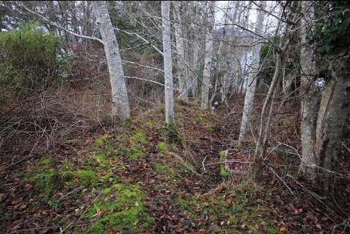
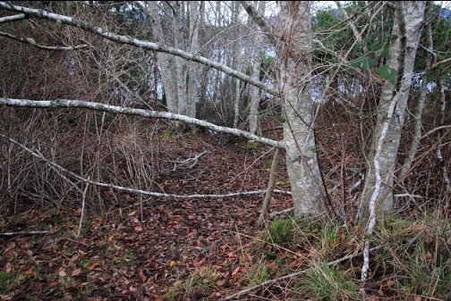
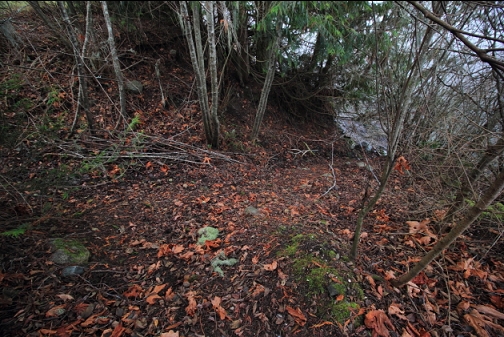
I came here on Jan. 2, 2018. There was a sort-of cleared muddy trail forming the public right-of-way between houses 99 and 101. It wasn't very long, but there were lots of overhanging branches that caught on my tank as I tried to duck under them.
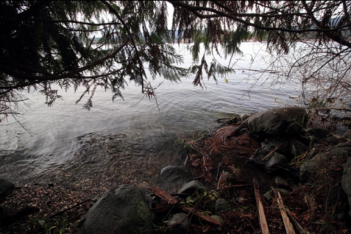
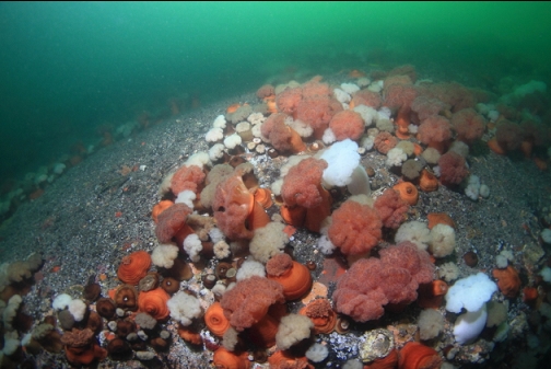
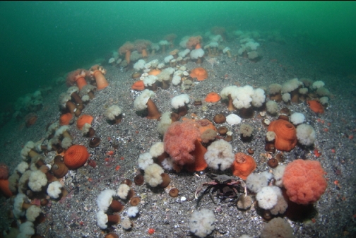
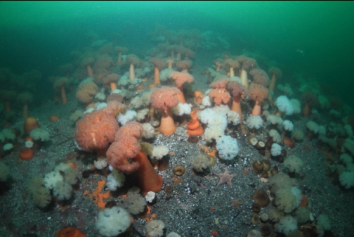
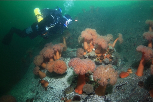
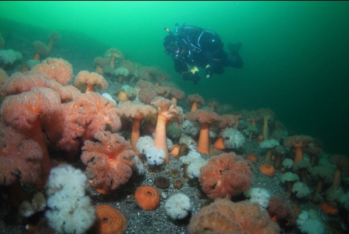
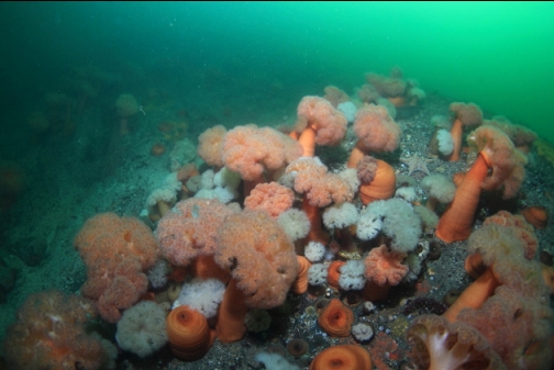
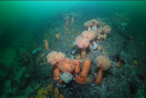
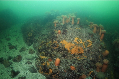
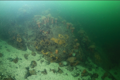
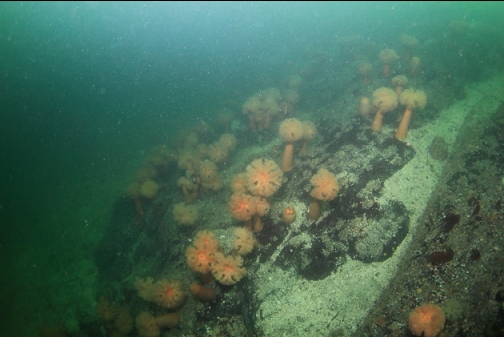
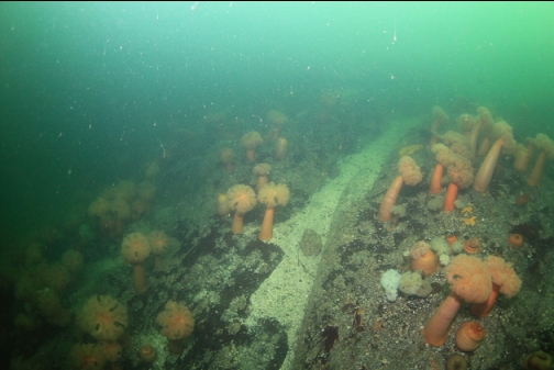
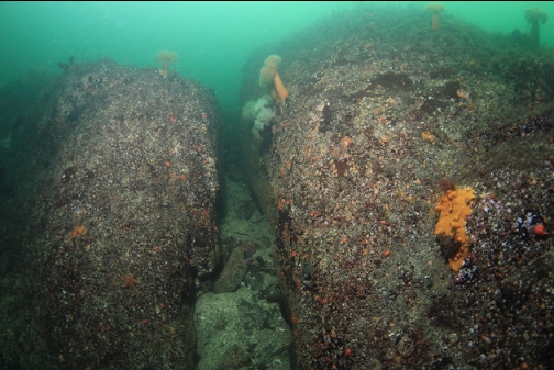
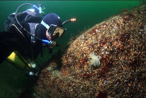
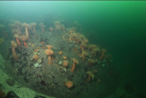
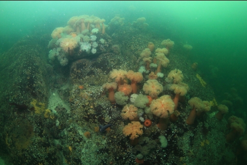
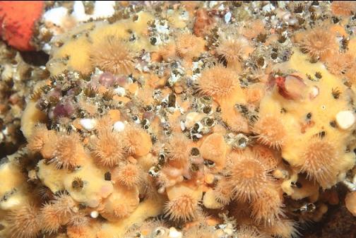
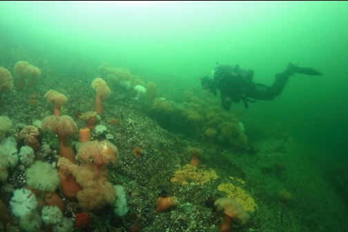
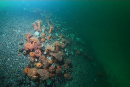
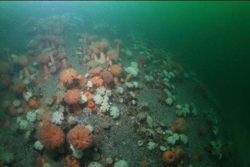
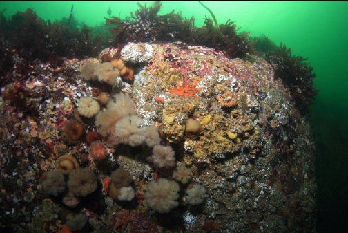
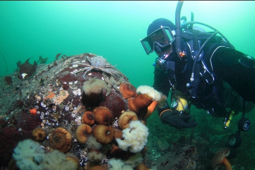
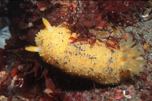
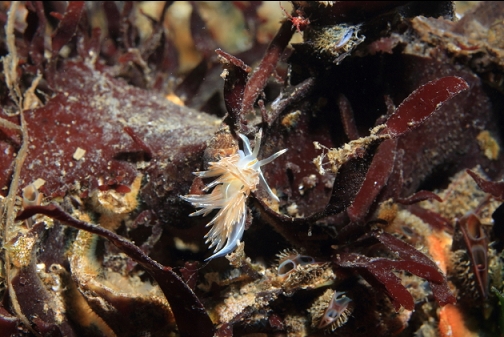
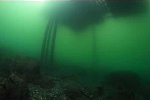
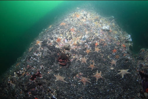
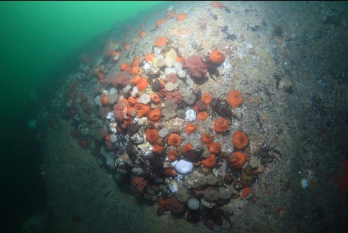
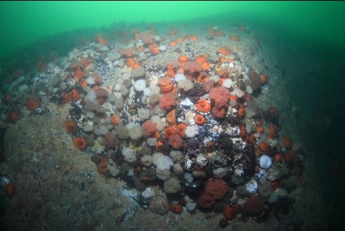
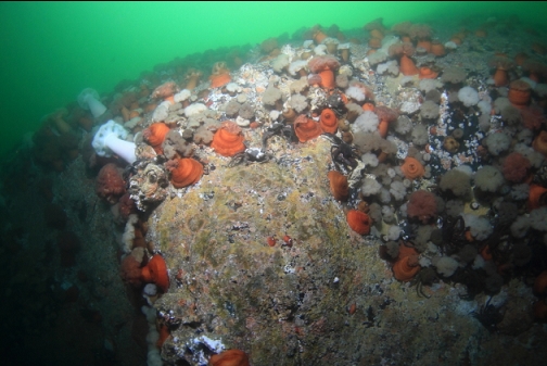
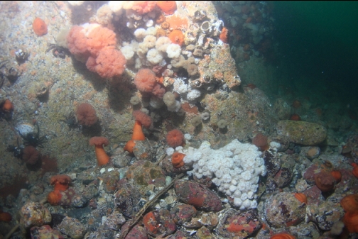
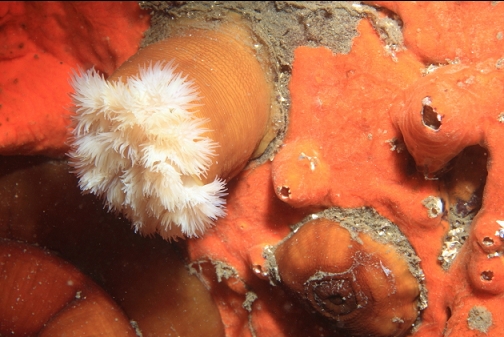
I had tried to time this dive for slack according to the Sooke tide table, but when I reached the water I could see that the current was still sweeping past the shoreline pretty quick. I snorkeled out to the right about 200 meters to the point. I didn't even have to swim since the current carried me along faster than I could swim anyway. I don't think I could have turned around if I wanted to. I had to try and dodge the floating docks that the current kept wanting to push me into. I reached the area near the point in no time. I descended just West of the point where it seemed to be sheltered from the current. The bottom here was about 25' deep and it seemed quite pretty. Visibility was 20' and the bottom was scattered with small boulders with clusters of orange, brown and white plumose anemones. The shallow depths and decent visibility made everything seem bright and colourful.
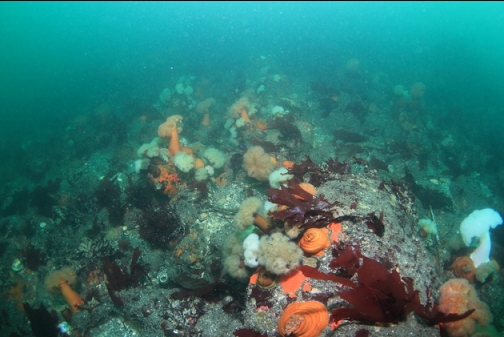
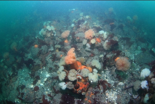
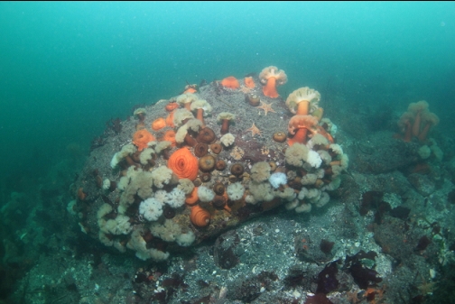
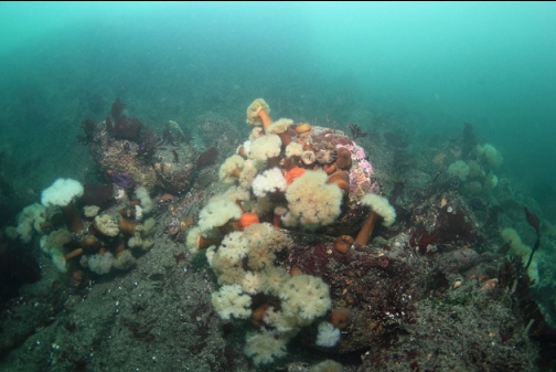
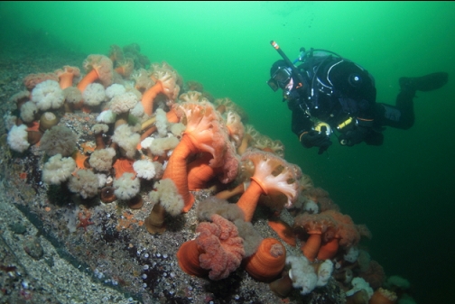
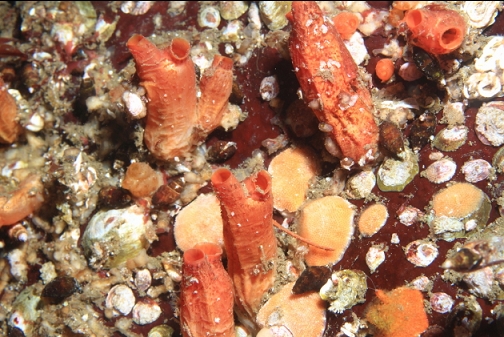
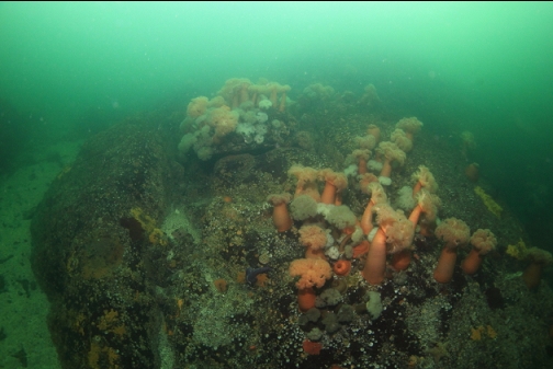
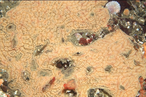
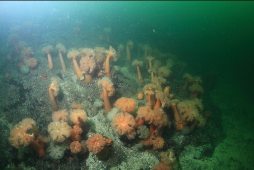
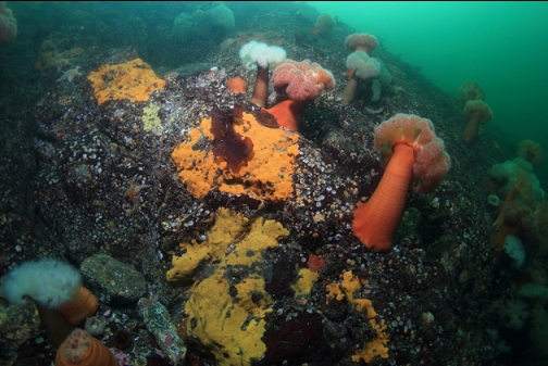
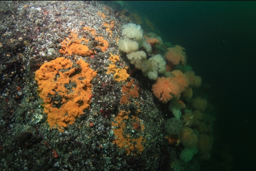
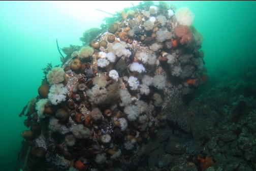
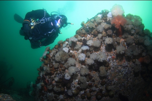
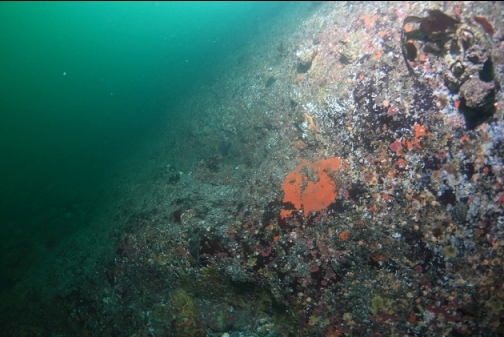
I started to drift around the tip of the point. The point dropped down underwater in a steep sloping wall to about 45' deep at the tip. The current was so strong, I couldn't slow down to take photos so I just clicked away almost at random as I swept past the rock face. At first, the rock seemed pretty bare, but soon it was mostly covered with more of those plumose anemones and a variety of tunicates. There were out-of-focus swirling areas of fresh water mixed in here and there that made it hard to see in some areas. About half of my photos were useless (even the close-up ones) because of this shimmering blurriness.

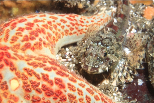
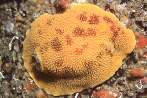
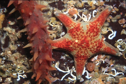
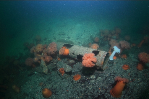
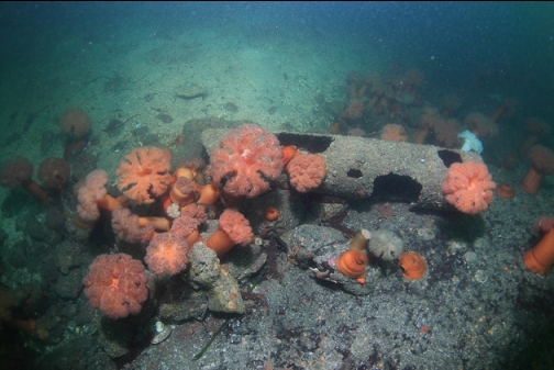
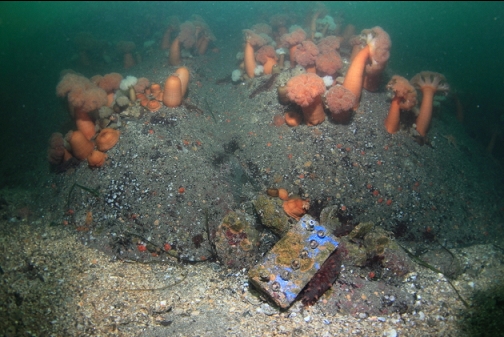
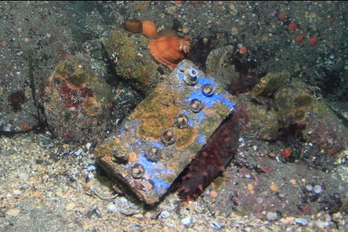
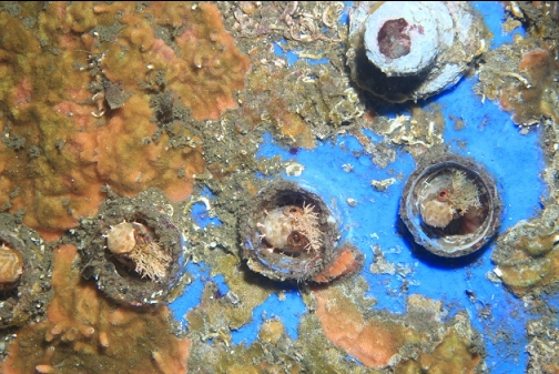
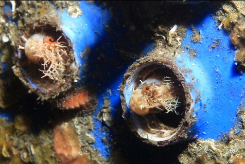
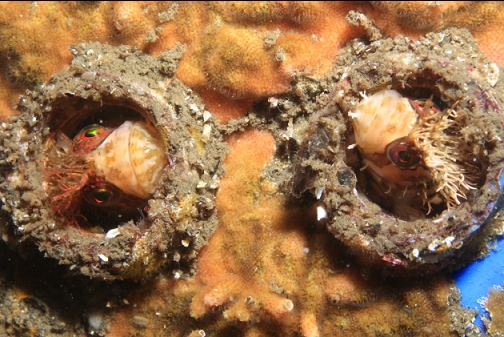
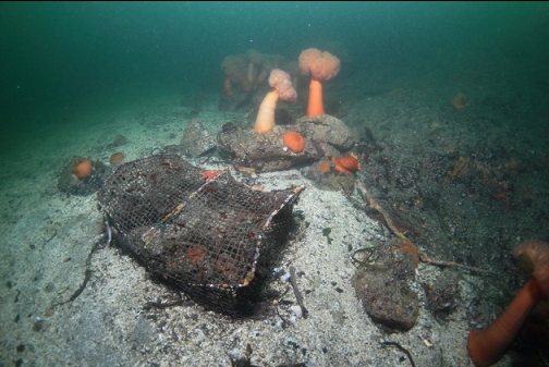
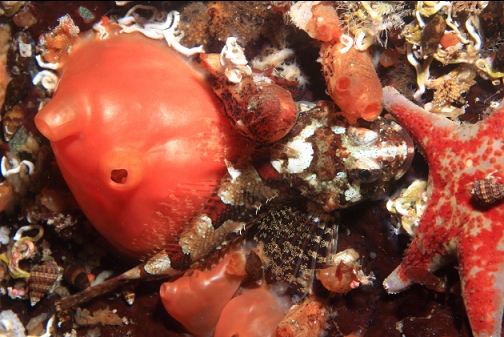
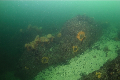
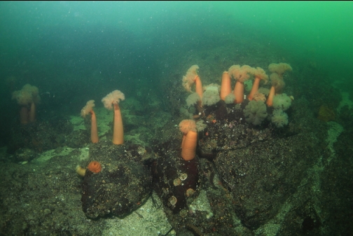
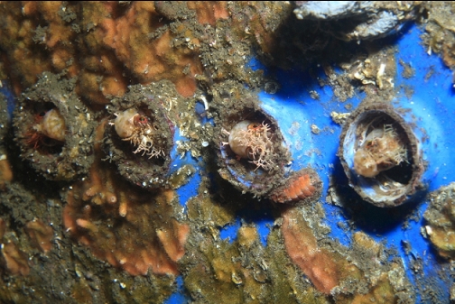
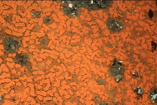
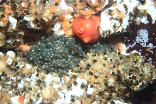
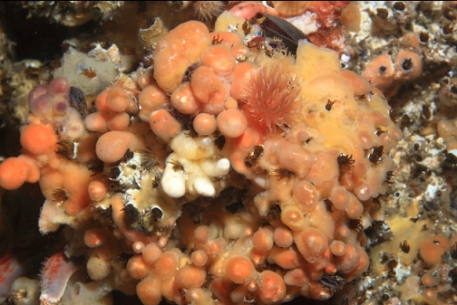
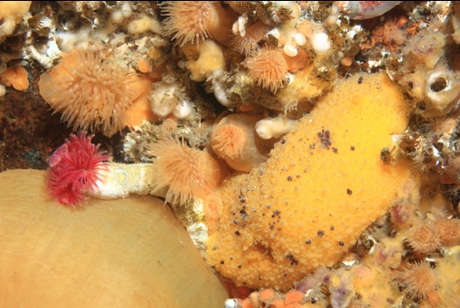
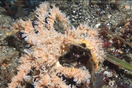
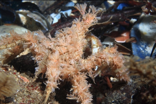
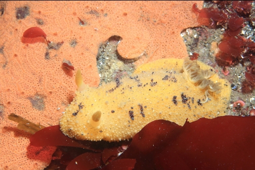
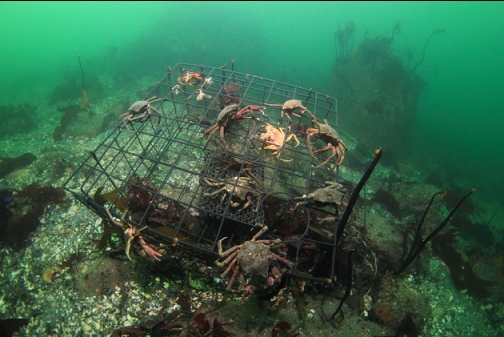
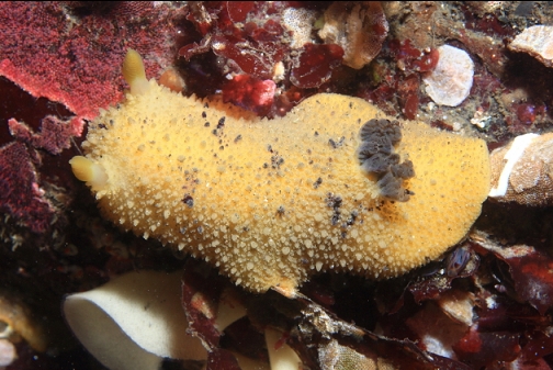
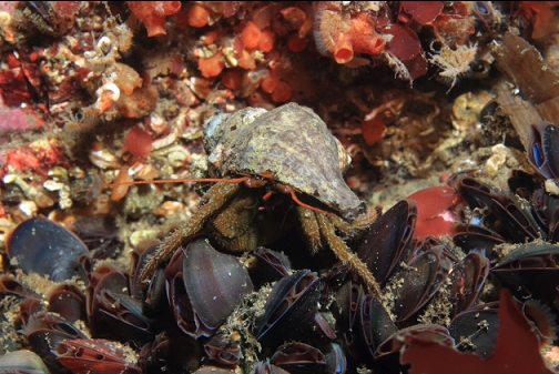
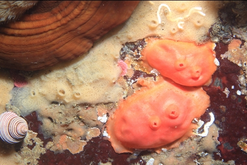
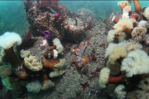
Once I made it around the tip of the point, I was slightly sheltered from the current and I could slow down and actually see things. Much of the rock face was still covered with plumose anemones. I hardly saw any fish except for small sculpins. There was a white-spotted greenling caught in an old crab trap (I cut the net-type trap open to free it). I saw an old battery at the base of the wall. There were 6 holes in the battery (probably for adding water to the cells) each hole had a mosshead warbonnet looking out of it.
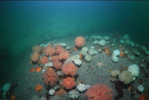
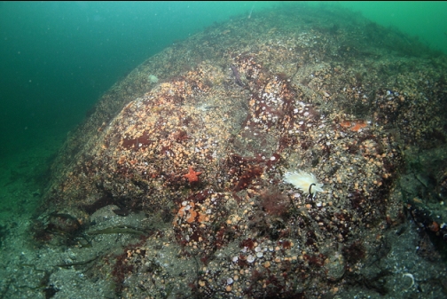
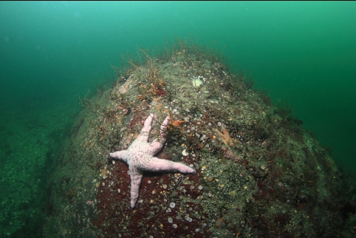
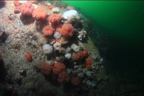
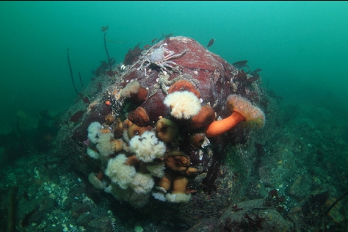
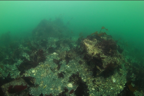
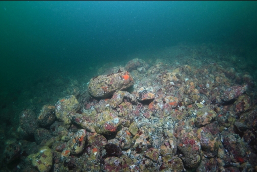
Around on the East side of the point, the rock slope wasn't as steep and continuous. There were sandy channels between the rocky reefs and boulders. It also wasn't as deep here, maybe only 30'.
I felt that the current had slowed considerably so I took advantage and swam back around the point.
Once around the point, I swam back towards my entry-point underwater about 15-20' deep. The bottom was a very gently-sloping sand/gravel slope with lots of boulders and the winter remains of stalked kelp.
Despite the awkward trail, the somewhat-long surface-swim and the risk of strong current, I was impressed by this spot. I'll probably be back eventually, but it will have to be in the winter since the visibility in this area is pretty bad at other times of the year.