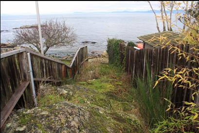
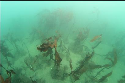
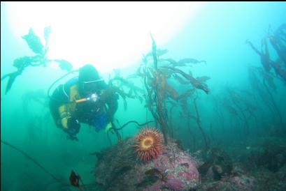
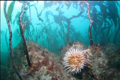
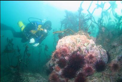
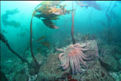
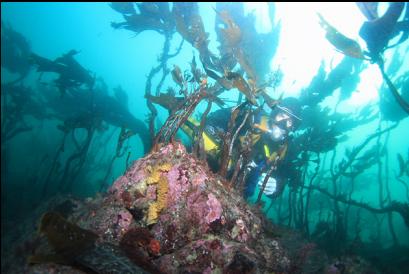
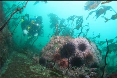
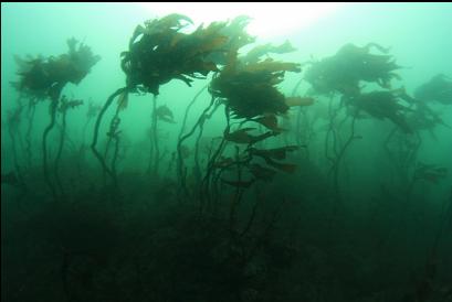
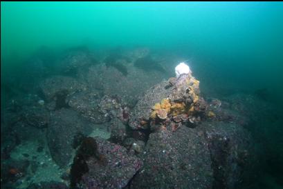
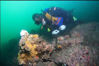
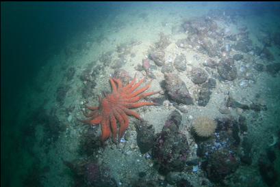
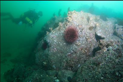
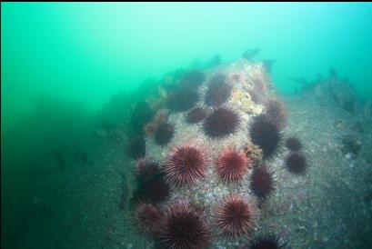
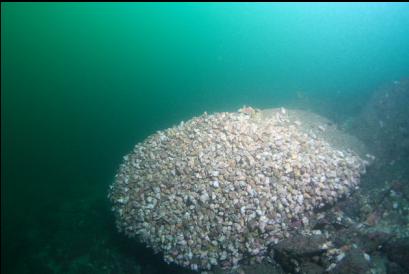
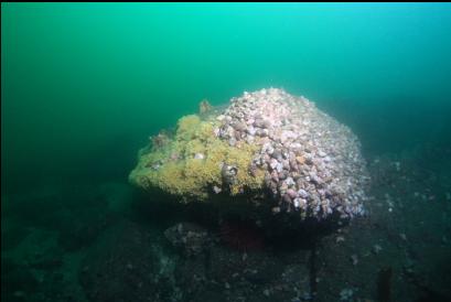
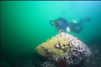
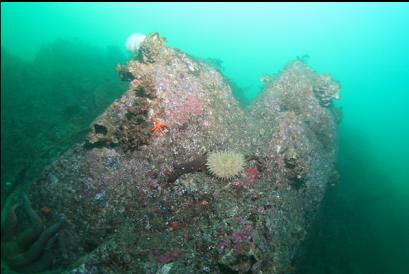
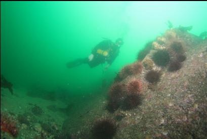
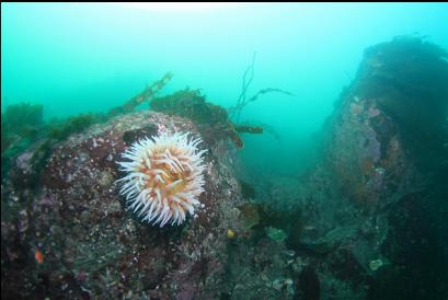
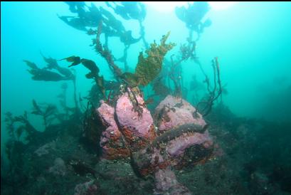
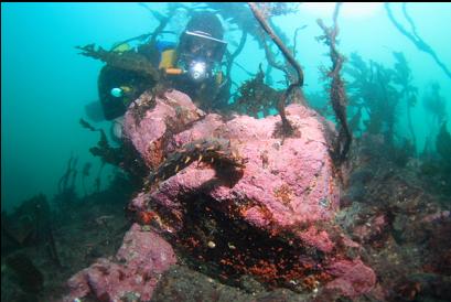
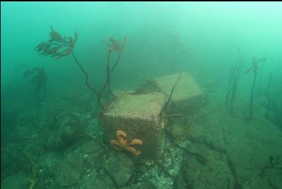
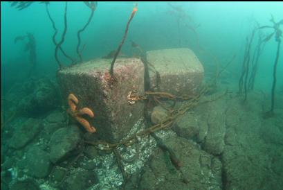
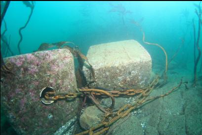
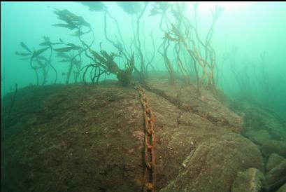
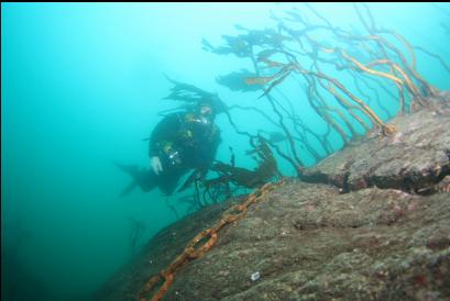
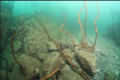
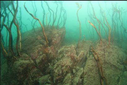
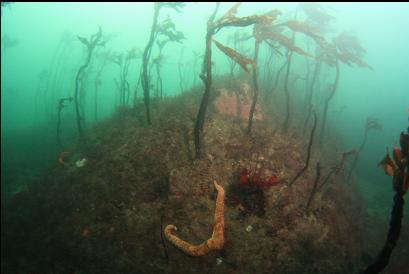
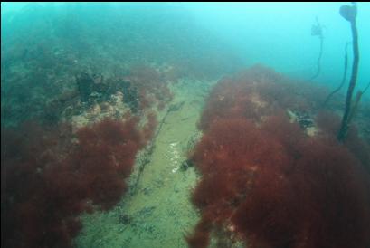
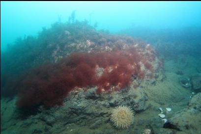
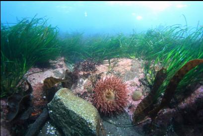
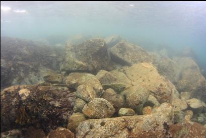
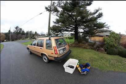
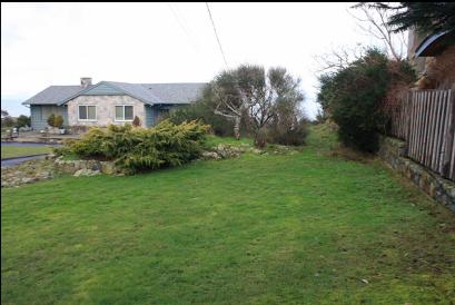
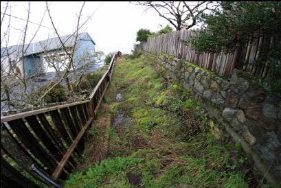
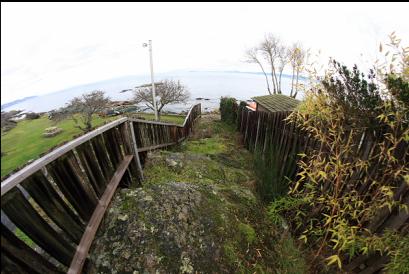
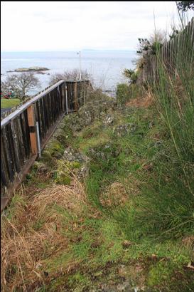
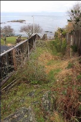
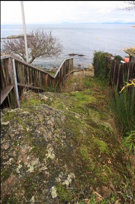
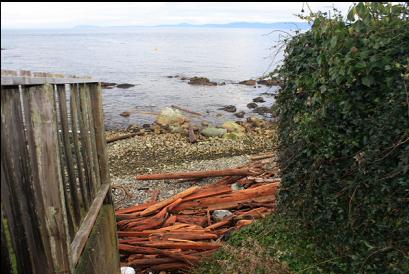
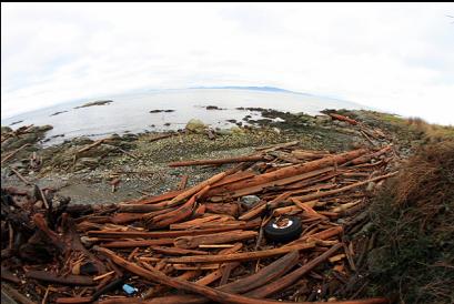
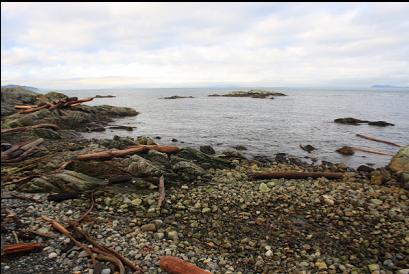
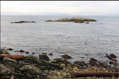
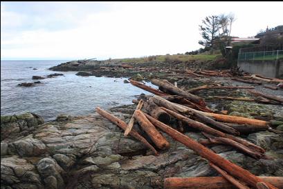
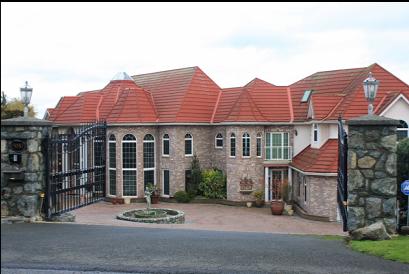
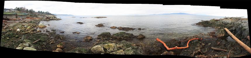
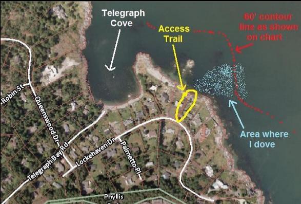
I was looking at the CRD's online zoning map, searching for public beach access lanes and I noticed one off Lockehaven Dr. near Telegraph Cove in the 10-Mile Point/UVic area. It's about 65 meters long and is between houses 5000 and 5010. This also happens to be the place where the 20-meter contour line on the marine chart comes closest to shore along this coastline (except for the 10-Mile Point dive site of course). From what I've experienced, this area can also have some ripping current so I had to wait a few days until the current table (Baynes Channel correction on the Race Passage table) showed a slack during a convenient time. This was on Jan. 21, 2011. The access trail is an uneven, rocky, muddy path that runs between the neighboring houses' fences. At the end, there's a driftwood-choked rocky beach with some small, exposed rocks just offshore. According to the chart, there's a flat, shallow area bulging out in front of the beach. The deeper, steeper area is off the right-hand point (when looking out from shore). I swam out from the beach and sure enough, there was a large flat area made up of large boulders and small rocky reefs topped with stalked kelp. I saw a few fish-eating anemones here, which is unusual for Haro Strait. Visibility was about 10 feet, which is usual for Haro Strait. This area (15-25 feet deep) was like a maze, with lots of sandy channels between the steep-sided reefs. I swam out to the right to find the deeper area. I reached a slope of broken rocks and I followed it down to a flat bottom 65 feet deep. Some of the rocks were covered with whelks(?) laying eggs. There were also some larger steep-sided reefs here with clusters of urchins. I didn't see many fish. There were a few kelp greenlings and some small copper rockfish. There was a flooding current which forced me to struggle to swim against it. Eventually, I came to my senses and let it carry me back to where I started. I may come back to explore a bit more, but I wasn't very impressed overall. It reminded me of Spring Bay, but with less fish. I suppose that if this was a great dive spot, the road would be lined with "No Parking" signs anyway (this is an "exclusive" neighborhood).