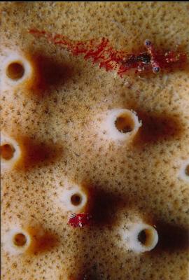
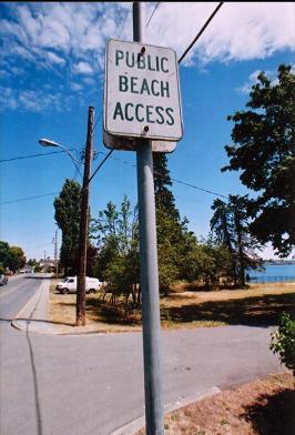
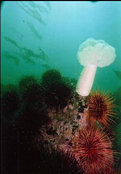
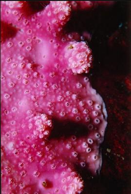
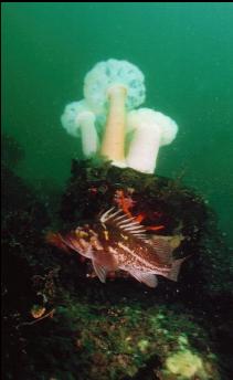
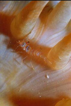
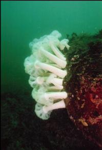
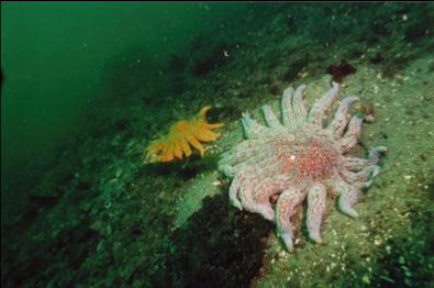
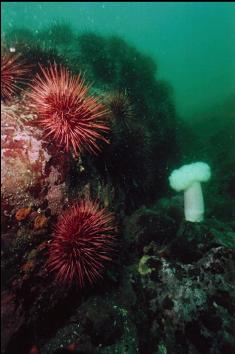
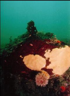
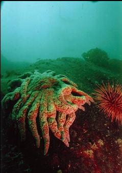
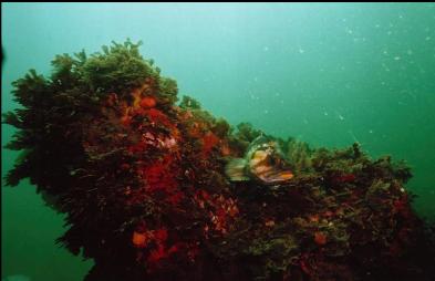
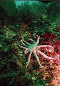
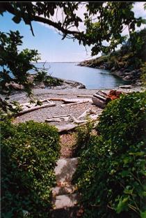
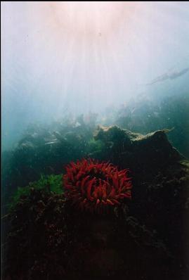
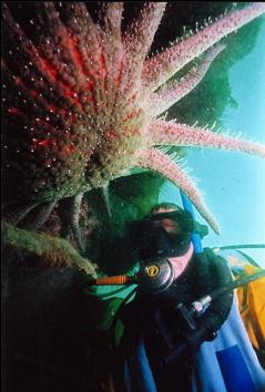
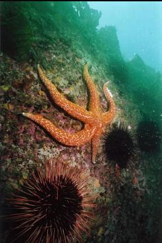
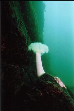
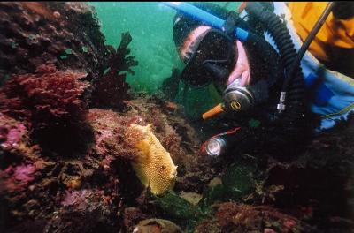
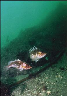
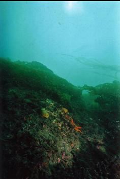
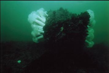
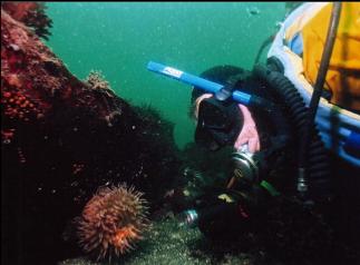
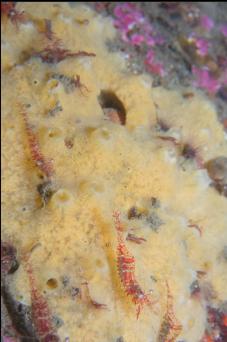
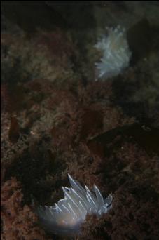
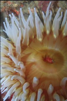
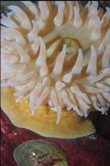
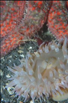
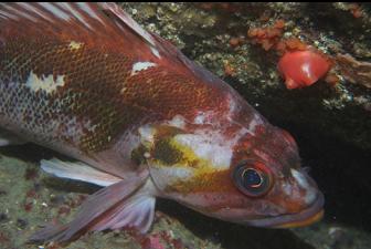
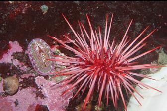
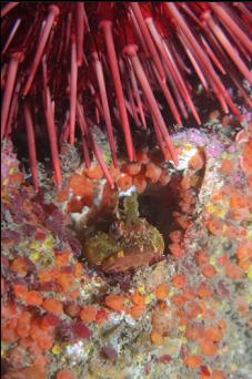
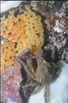
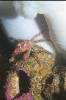
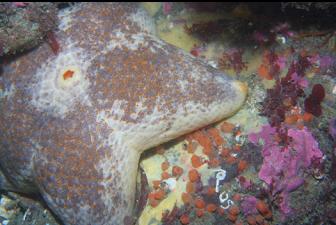
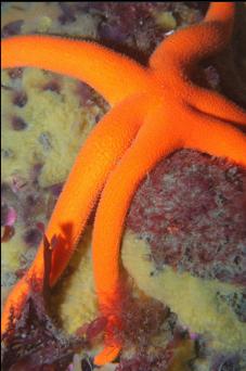
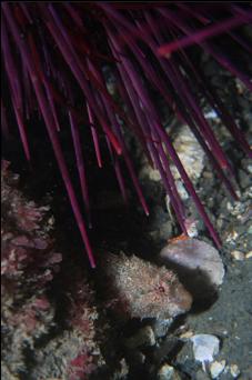
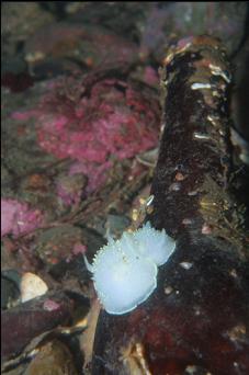
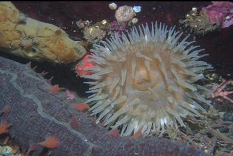
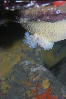
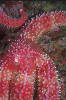
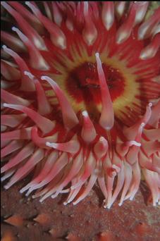
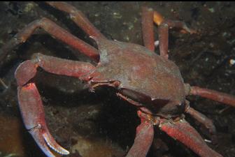
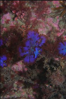
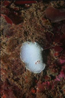
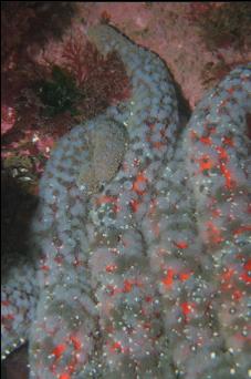
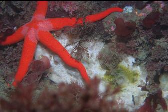
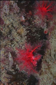
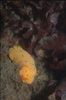
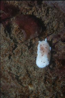
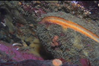
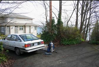
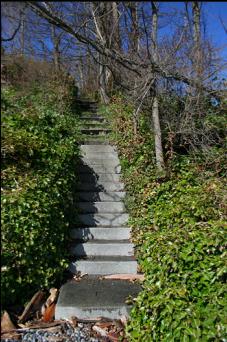
SUMMARY: A half-decent, fairly shallow shore dive. LOCATION: At the Western point of Mcneill bay. There is a small beach access lane off King George Terrace. This lane is narrow and there isn't really any parking in it except at the end where there is room for one small car (I didn't see any "no parking" signs). Don't park anywhere else in the lane or you will block access to residents' driveways. Go down the steep steps to a small beach and swim out around to the point on the right (about 250 meters). Then descend, obviously. WHAT TO SEE: At the point, the bottom drops off in a series of walls and canyons to a sandy bottom at around 55 feet. Most surfaces are covered with a light dusting of silt. There isn't a whole lot on the walls compared to the Enterprise Channel side of Mcneill Bay. They're actually surprisingly bare. There are a few anemones, urchins and sea stars here and there. Most of the life is on the boulders and small reefs at the bottom of the wall. Some of the rocks are covered with plumose anemones and urchins. There are some copper rockfish, kelp greenlings and buffalo sculpins. For some reason, I saw lots of tiny (less than 1 foot long) juvenile lingcod. You can see the odd patch of encrusting sponge or hydrocoral here and there, but not much other current-loving life. I once saw a huge octopus in a hollow under a boulder. In the shallows (less than 40 feet) everything is covered by huge "leaves" of bottom kelp in the summer, so you will have to go deeper to see anything. The amount and variety of marine life won't blow you away, but if the visibility is good, the topography is quite dramatic. -Worth doing once or twice. CONDITIONS: According to the marine chart, there is supposed to be up to 3 knots of current near this point, but I've never felt much at all. Judging by the silt and the lack of the usual amounts of "high current" marine life, I would guess that current isn't a worry here. If you get swept away though, don't blame me: I've only been here a few times. You can't get deeper than 50-60 feet unless you swim out pretty far from the base of the wall/reefs. Visibility was around 20 feet, but again, I haven't been here enough to know how much better or worse it can be. Once when I was here, visibility was ruined by huge clouds of tiny shrimp. It was kind of annoying, but kind of neat too.
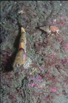
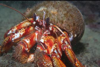
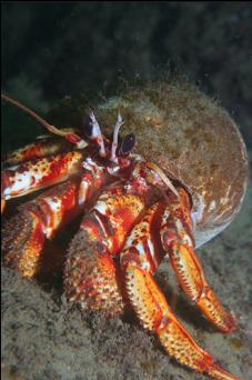
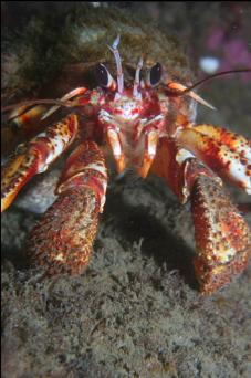
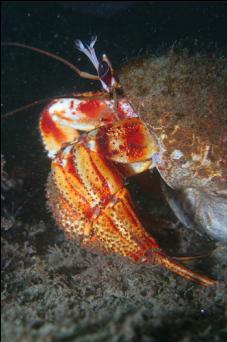
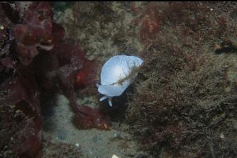
I haven't been here in awhile. The previous times I've come here, I just showed up at random and didn't feel much current. This time I showed up on the current atlas-predicted slack, but it was actually pretty strong. I've lost all faith in computer models. It was a windy, choppy day (March 11, 2008) and visibility was around 15 feet. There used to be lots of copper rockfish here, but today I only saw one. I did see the largest hermit crab I've ever seen. It was about the size of 2 fists. I almost thought it was a lobster for a half-second. The clouds of mysids (tiny shrimp) were out again in certain areas. I said this place was worth doing once or twice and now that I've been here more than that I think I'm finished with it.
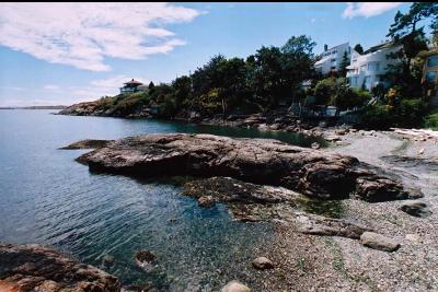
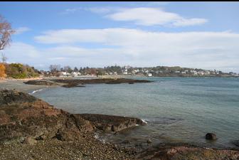
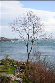
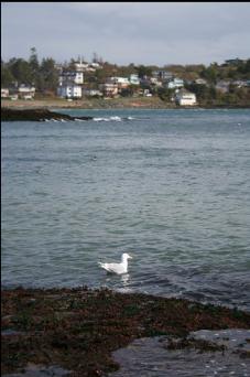
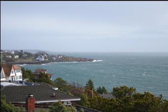
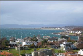
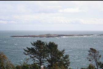
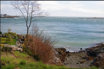
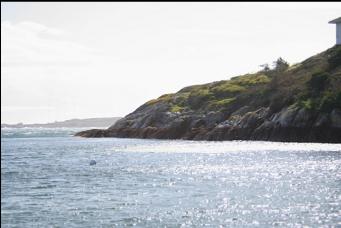
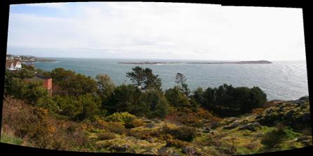
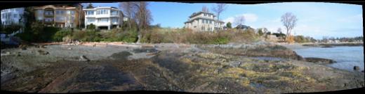
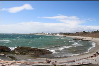
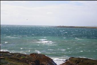
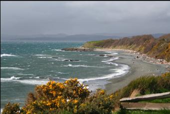
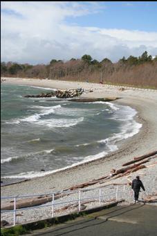
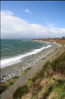
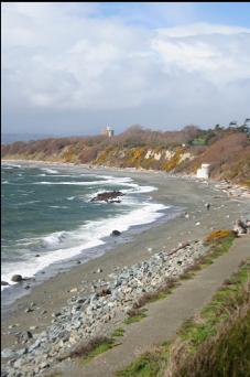
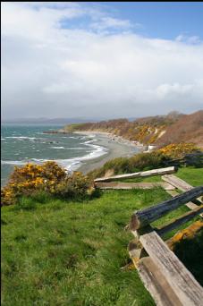
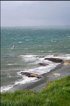
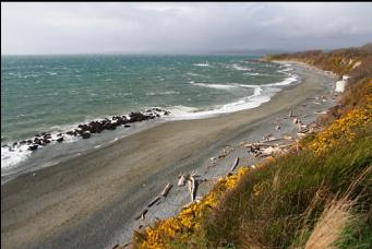
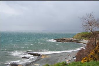
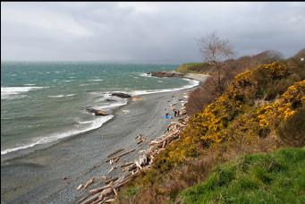
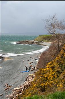
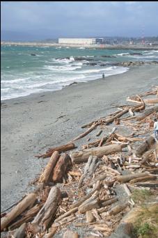
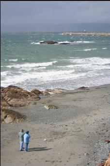
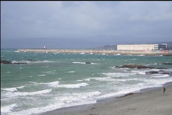
And since I can't resist taking photos on windy, sunny days, here are some from the drive back along Dallas Road: