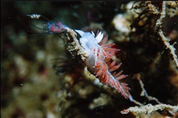
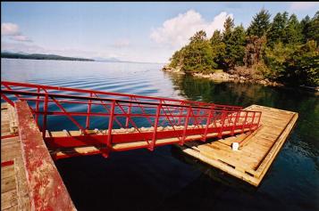
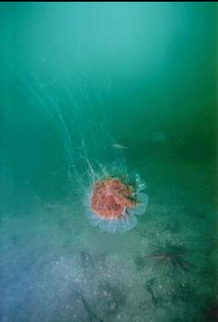
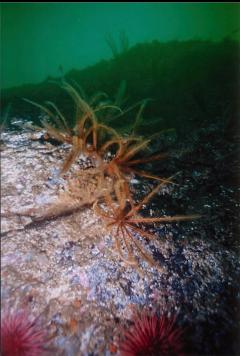
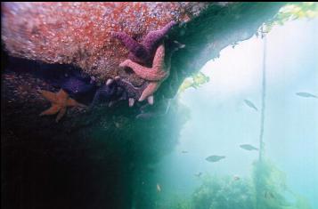
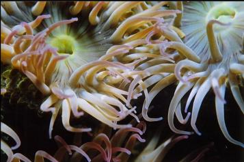
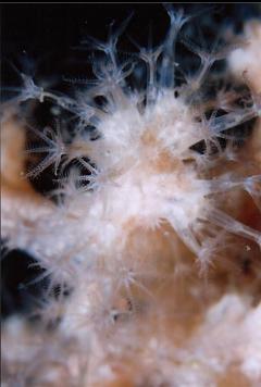
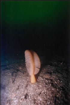
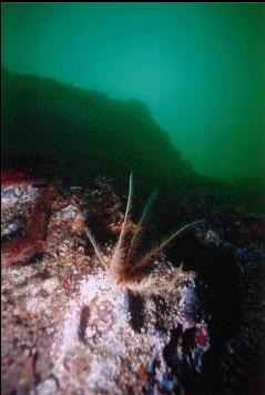
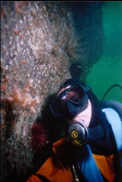
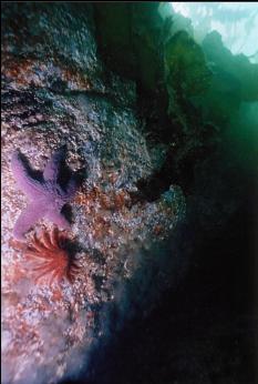
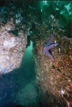
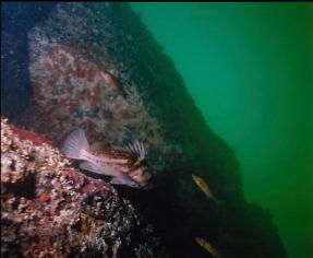
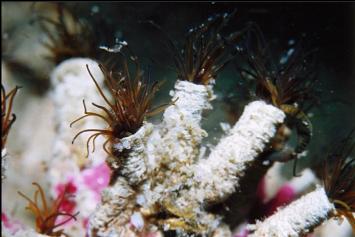
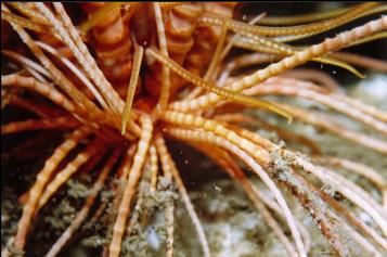
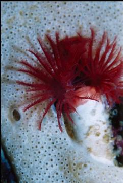
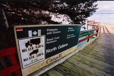
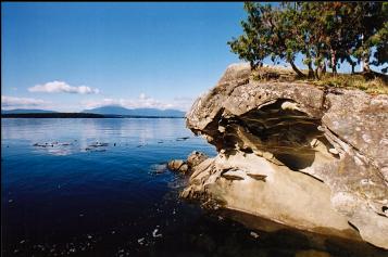
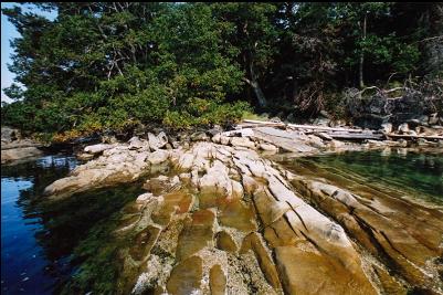
This area is known as "Spanish Hills" to the locals. I wanted to do a shore dive as close to current-swept Porlier Pass as possible, hoping to find some of the same invertebrate life. I checked the current tables and caught the ferry from Victoria at 5:30 in the morning to be on the island long enough for a morning and afternoon slack. The government dock is near the end of Porlier Pass Road at the North-West end of Galiano Island. There is room for about 10 cars to park next to a phone booth. On the left side of the road, there is a private house and a ramp to the floating dock. I entered the water from the dock and swam more or less straight out over the flat, silty bottom, past the bits of bull kelp, before descending at about the entrance to the cove. There were a few small sandstone reefs about 30 feet deep with several species of sea stars and perch around them. All of a sudden the flat bottom dropped away at a perfect 90 degree angle like the edge of a table. As I was hoping for masses of colourful invertebrates, I was a little disappointed at the grey, silty looking wall. The most obvious species were crinoids (feather stars). In some areas, hundreds of them completely covered the wall - the most I've seen anywhere. Other than that there were quite a few cup corals dotting the walls and overhangs. The wall looked a lot like those in the Nanaimo/Parksville area, but without a trace of sponges and no anemones. Visibility was about 20 feet (mid- September). There were lots of small to medium sized quillback and copper rockfish, a few kelp greenlings and a small irish lord. The wall bottomed out to silt at 90 feet. I swam out to a depth of 100 feet to see if the wall would start up again, but all I saw was a slope of silt. There were feather stars clinging to shells in the mud. As I swam back up the wall I was surprised to see a tiny cluster of pale soft coral. It wasn't the bright pink/red kind I'm used to seeing at Race Rocks, but some kind I've never seen before. Back in the shallows, around the right-hand point of the bay (closest to Porlier Pass) there seemed to be a bit more encrusting life on the rocks (mostly a variety of tunicates and cemented tube worms), but this area bottomed out at 40 feet or so and I didn't have time to swim too far North. I realised that it would be tricky to climb out on to the floating dock where I entered because it was a few feet high, so I exited the water at an old concrete boat ramp to the North of the dock. There was a short path up to the road, where I dropped my gear and walked a couple of hundred yards back down the road to my car. This ramp/trail would be an easy entry/exit point, but parking is not allowed.