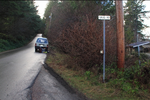
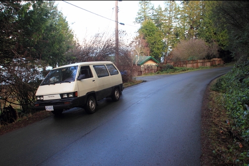
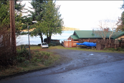
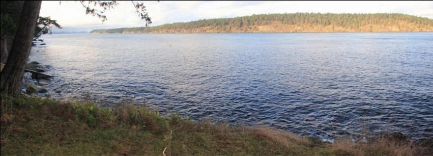
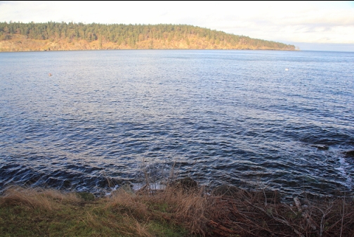
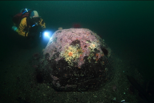
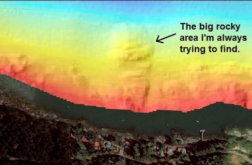
I came back to the Tumbo Channel side of Saturna Island on Jan. 24, 2024. Like the last few times, I used the Salal Rd. shore access since I wanted to have another try at finding the big rocky area sticking out into the channel. During previous dives here, I felt like I was swimming along the convoluted maze of rocky reefs parallel to shore, but I never found a series of reefs heading away from the shore like the sidescan image seems to promise. Despite the wind forecast today, it was actually pretty calm.
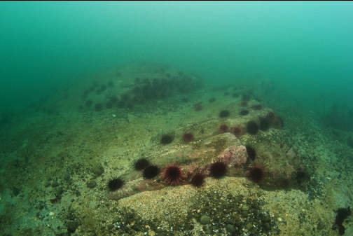
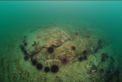
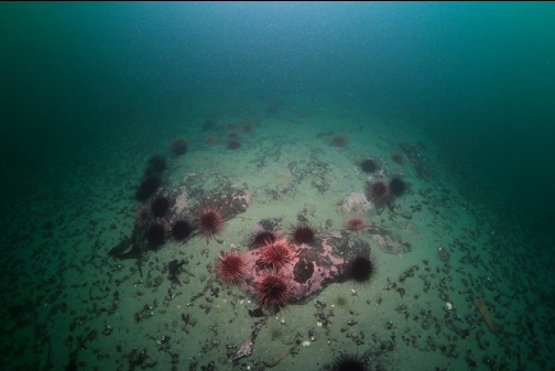
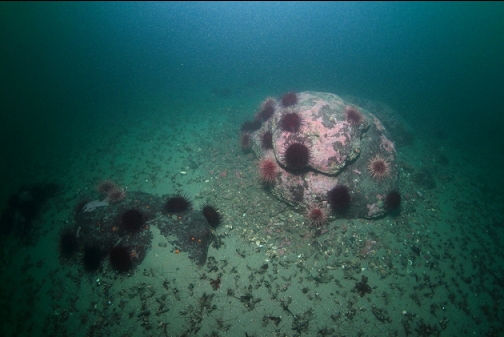
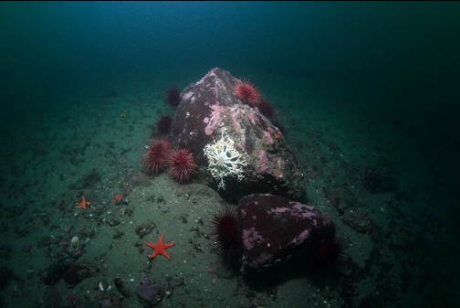
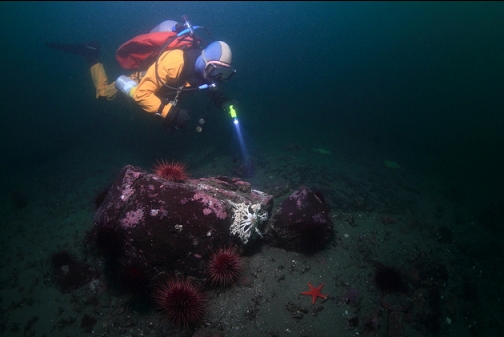
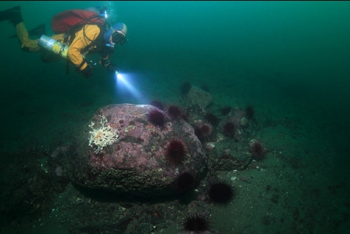
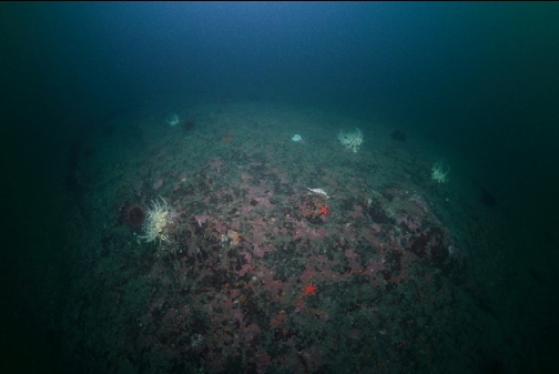
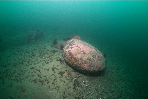
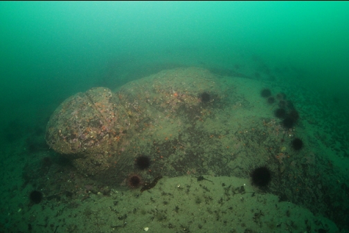
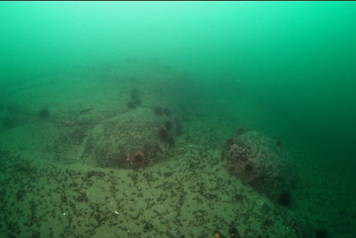
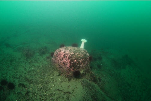
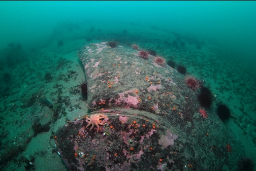
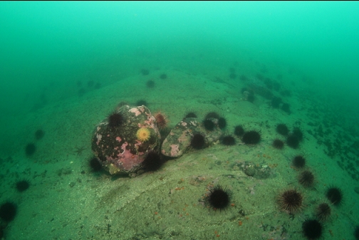
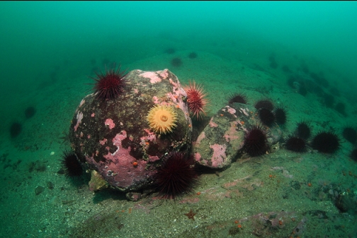
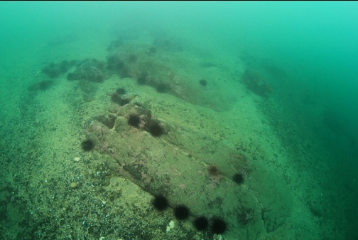
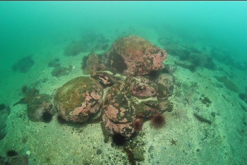
Visibility was 15-20' and it seemed extra dark, especially as I went deeper. As usual, the rocks in the shallower depths (above 60' deep) were pretty bare except for red urchins. I assume this is from the fresh water from the Fraser River in Spring, which would kill off many species of marine life. These rocks are so random-looking that I never really recognize where I am despite having dove here a few times now. My macro camera set-up had a "lens communication error" so there are only wide angle photos from this dive.
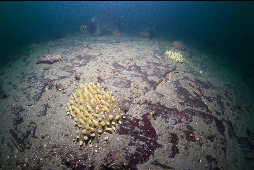
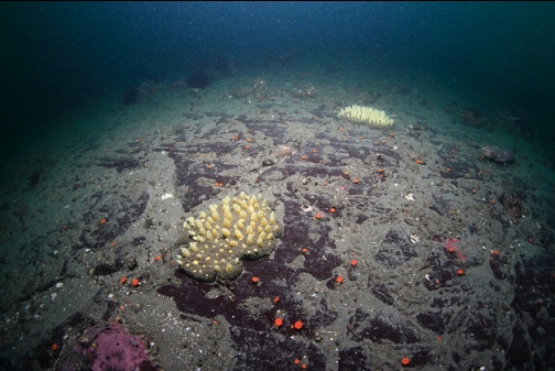
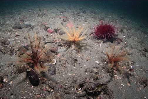
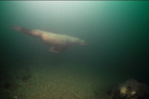
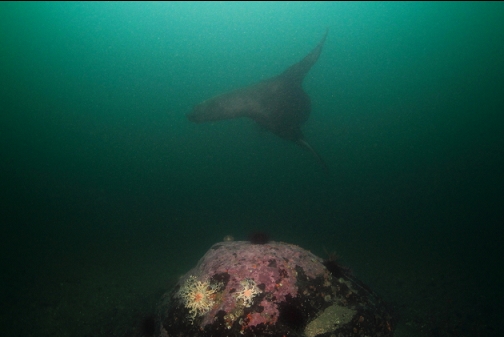
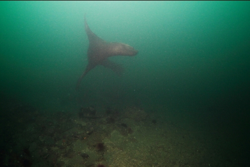
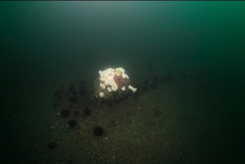
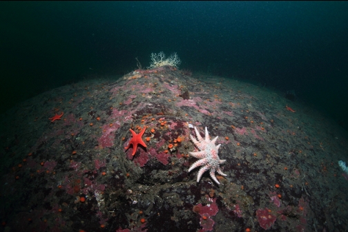
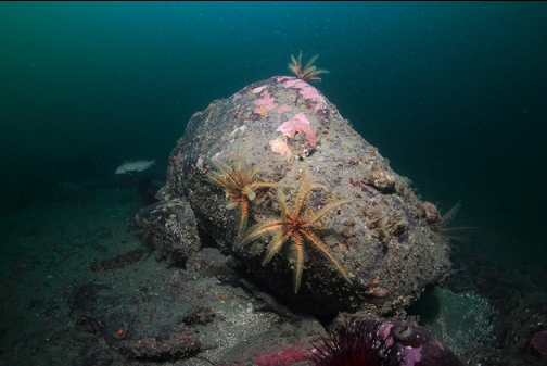
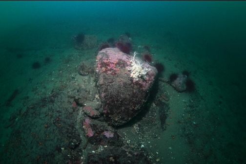
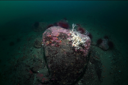
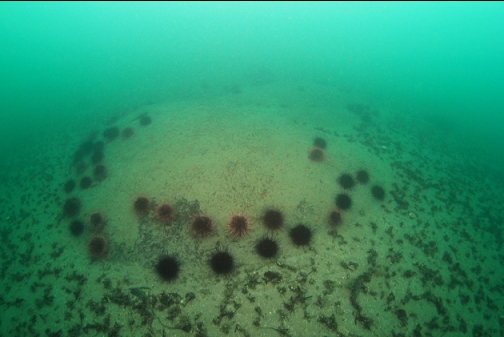
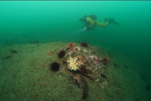
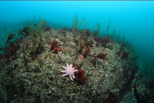
When I got below 60' deep, I started to see more marine life like nipple sponges and of course the basket stars. This site is almost empty when it comes to fish. I saw 2 or 3 kelp greenlings, a small cabezon, a small copper rockfish and some gobies.
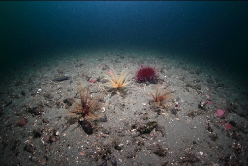
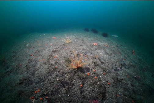
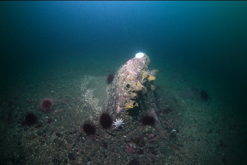
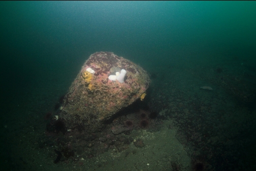
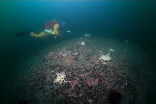
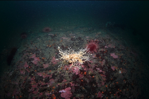
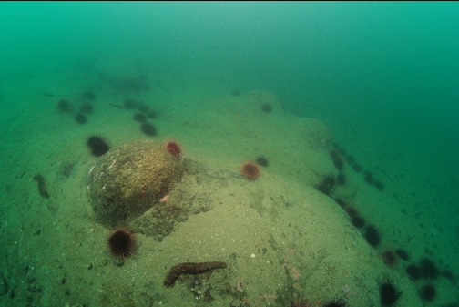
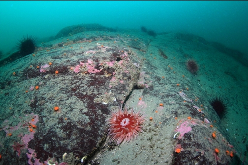
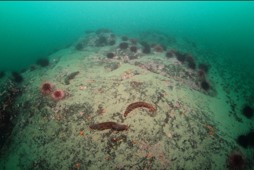
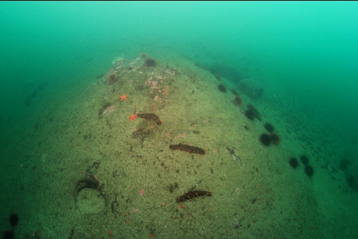
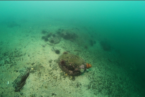
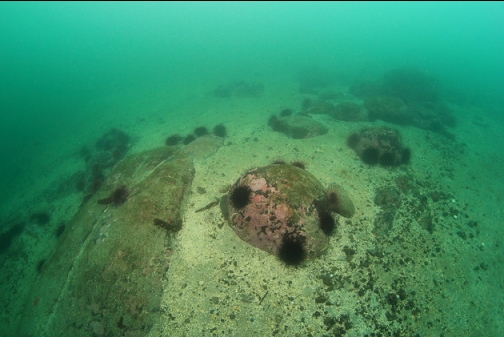
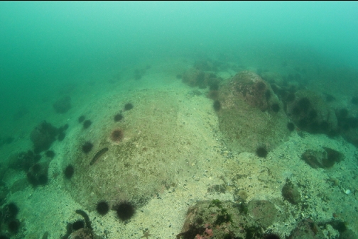
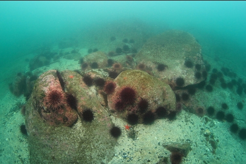
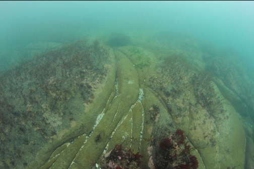
I went down to about 80' today. I tried swimming out across the sand at the base of the rocky slope, but I didn't see any sign of a large rocky area. The sidescan image shows that this rocky area is pretty big, several times larger than the properties on shore. If it was there, I'm confused why I didn't see it. There are some sandy gaps between the rocky areas shown on the image, but they are narrow enough that I should have been able to see across them with a short swim. I did a second dive here later on the same day (taking video) and I wasn't able to find the rocky area then either. I'm starting to think that I might have been diving on the big rocky area all along and somehow just thought that I was following the base of the slope along the shoreline. I paid attention to my compass more than usual today and my route did seem to trend more-or-less in the direction sticking out from shore. The sidescan image and the real-life topography here is pretty confusing, with its mostly-flat maze of rocky areas and sand. The depths I reach here also make me think I might be out around the tip of that rocky area. Today, I went down to 85' deep at high tide and last time I reached 90' deep which sort-of correspond to the marine chart, which shows about 100' depths at the tip of the reef. Anyway, today the rest of these pictures are from swimming back shallower towards shore. I saw the shallowest basket star I can remember seeing about 35' deep.
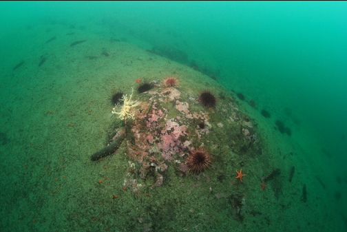
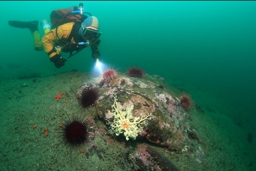
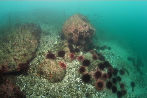
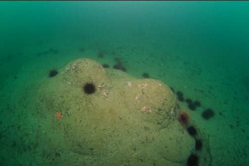
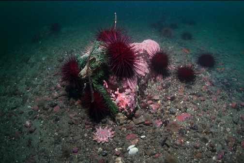
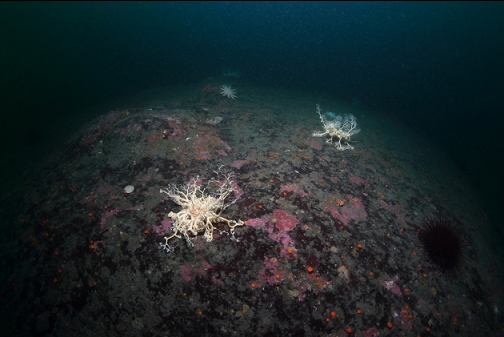
I'm still not completely satisfied that I have a grasp on the topography here. I'll have to come back to try and figure out whether I have been diving that rocky area that I've been looking for. Of course this place is always worth visiting for the basket stars. Tumbo Channel is the only place I'm aware of where you can reliably shore dive to see basket stars and this Salal Road access area has the most basket stars of the accesses that I've tried along this shoreline. Speaking of accesses, after this dive, I had a look at the Acorn Lane shore access a bit farther back up the road. When I dove there years ago, there was a steep, rickety, wooden staircase going down to the shoreline. Today I saw that the stairs were collapsed in places, making it impossible to get down to the water. So that shore access is no longer diveable.