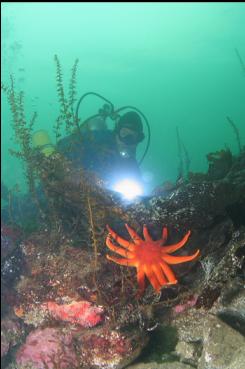
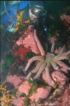
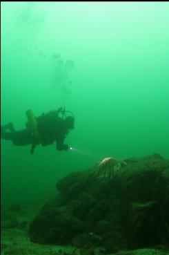
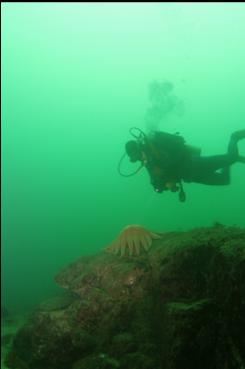
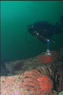
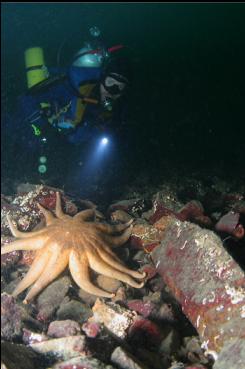
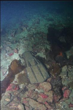
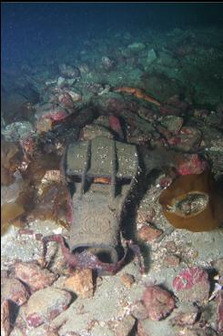
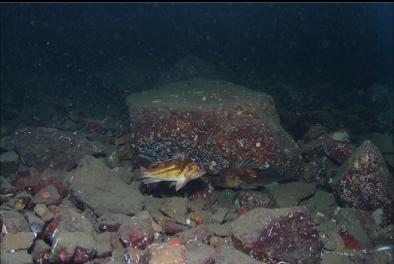
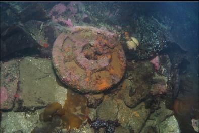
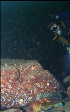
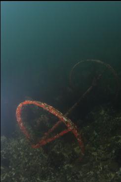
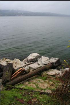
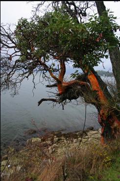
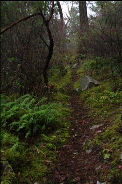
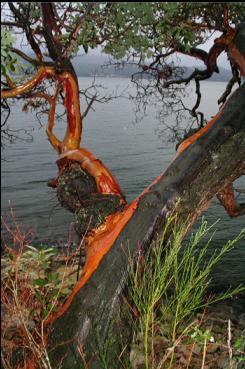
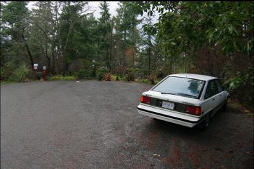
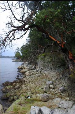
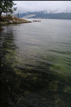
According to the Land Title Act, any water-front property that has been subdivided must have public access from the road to the water at least every 200 meters (or 400 meters for rural areas). If you look on a zoning map (there's a great one on the CRD website), you can see these narrow bands running from the roads to the water between certain private lots. Of course these public right-of-ways are usually unmarked and there is often no passable trail (sometimes they end in a steep drop). I've driven around parts of Saanich Inlet to see if any of these are reasonable for divers to use. Most of the ones I've looked at are difficult to even find, never mind to force my way through the forest. For example, there are several public shore access points between Willis Point and MacKenzie Bight, but even when you know which houses they are between, it's hard to tell the difference between public and private land. There are a few just North of Henderson Point that looked interesting on the map and marine chart. Most of them were unmarked and unpassable, but I found one with a trail at the end of Salmon Road. This trail is a bit shorter than the one to the popular Mackenzie Bight site , but it's steeper as well. On the chart, it looks like you can get below 150 feet fairly quickly. I brought my dive gear on Dec. 19, 2007. The shallows was a slope of broken rocks pink with encrusting coralline algae. Visibility was around 10 feet here. These rocks ended at around 15-20 feet deep and then there was sand with smaller rocks. I swam straight out hoping for some big rocky reefs like at Henderson Point, but there was just sand. I went down to around 90 feet deep (visibility was around 30-40 feet) without seeing any. I turned left and eventually reached a rocky area that went down to around 120 feet. There wasn't really any life here except for 3 copper rockfish and a sea star. I went back up to shallower depths and there were a few more small rocky reefs starting at around 50 feet. There wasn't much life here at all either. Of course if I looked closely, there were the usual shrimp and gobies. A few tires were scattered around and there were the remains of various kinds of mooring blocks. I probably wasn't the first person to think of diving here since I saw a dive fin lying on the bottom. Back up in the shallows there were crab-shell dinner remains clustered here and there in the rubble and what looked like the wheels of an old baby carriage. I don't think I'll be back, especially with the hike back up the hill.