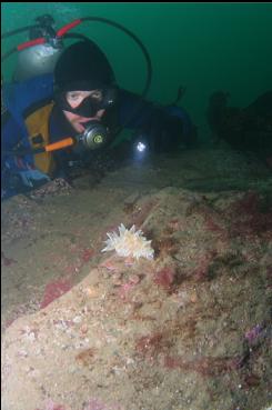
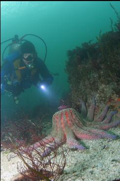
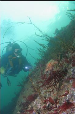
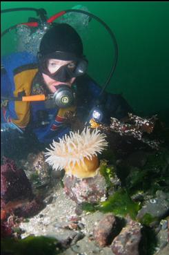
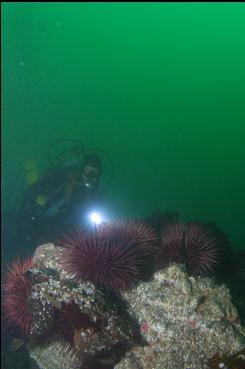
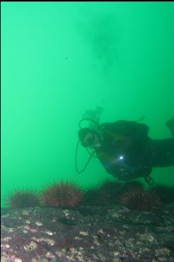
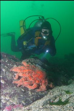
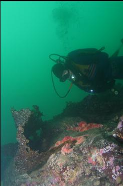
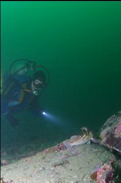
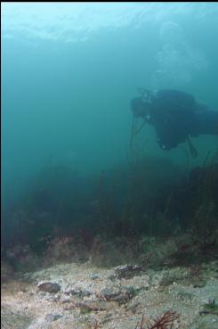
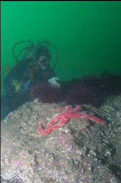
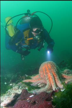
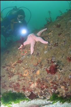
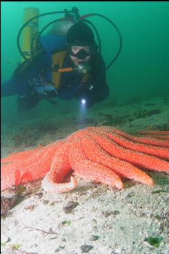
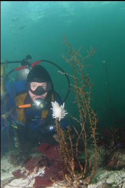
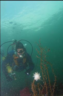
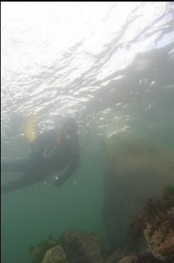
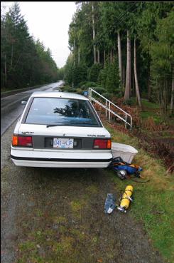
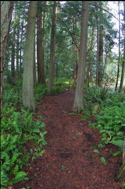
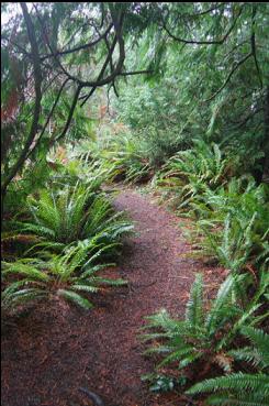
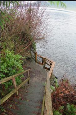
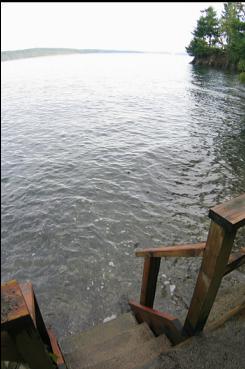
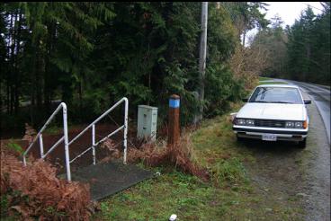
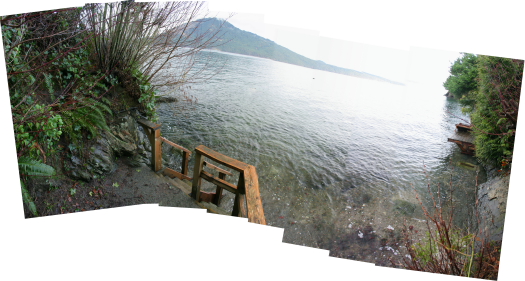
Satellite Channel is the body of water between the Northern tip of the Saanich peninsula and Saltspring Island. There are several public right-of-ways to the water along Landsend Road, but most of them are uncleared, unmarked and even blocked by resident's hedges. There is one between house # 916 and #930, just West of the intersection of Landsend and West Saanich roads. This is a cleared path with a trail marker and steps leading down from the road. I came here on Jan. 5, 2008. The chart shows a fairly steep drop down to around 30-40 feet and then a more gentle slope. The trail wasn't too long. I'll use my usual comparison and say it was about as long as the trail to the popular McKenzie Bight dive spot. This one was a bit steeper though. At the bottom of the trail there was another set of wood steps leading directly into the water (high tide). I snorkeled out for a while, but I didn't see any steep areas. There was just a gently-sloping sandy bottom with a few small rocks scattered around. I figured I might as well descend, so I did and continued to swim straight out. I followed this flat, sandy bottom down to around 40 feet before I turned left. Eventually, there were some rocky outcroppings here and there. There was a large rocky reef with boulders ending at around 35 feet deep. Visibility was around 20 feet. There wasn't much life here except for the usual variety of seastars and evidence of octopus (crab shell bits). I followed a small rocky ridge down to around 60 feet where there was a sandstone and conglomerate reef covered with purple urchins and a single plumose anemone. A copper rockfish hid under a ledge and I saw a tiny juvenile feather star. It was strange because just the day before, I saw a feather star at Henderson Point and I was thinking how rare they were in the Victoria area. I guess two of them can still be considered rare. Below this reef there was just more sand. I went back up to the shallows looking for octopus or whatever I could find, but there was just a lot of bare rock and sand. The only fish I saw were two copper rockfish and the ever-present gobies. I was surprised by the lack of life here considering it's location. Satellite Channel gets a bit of current and nearby Arbutus Island is nicely populated underwater. Maybe I was hoping for a magical wall out in the middle of nowhere covered with anemones and rockfish. Instead, this place was very similar to Moses Point, but not as steep in the rocky areas.