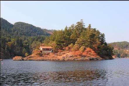
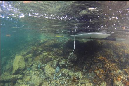
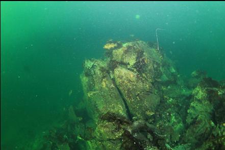
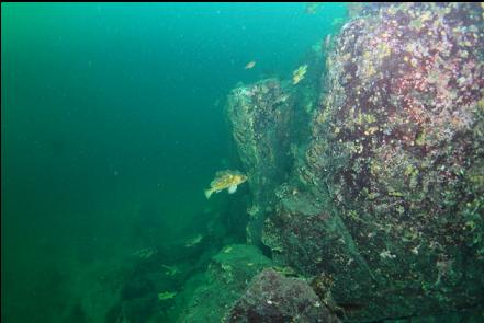
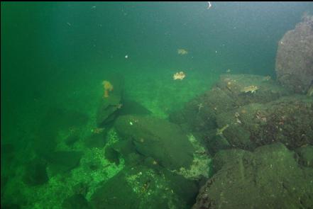
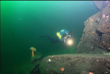
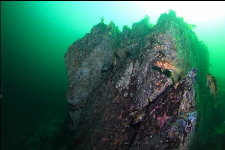
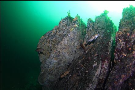
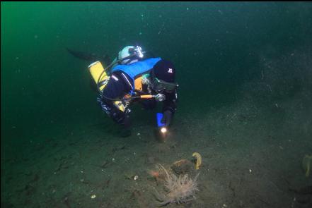
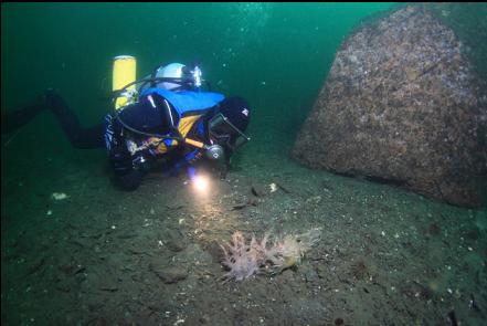
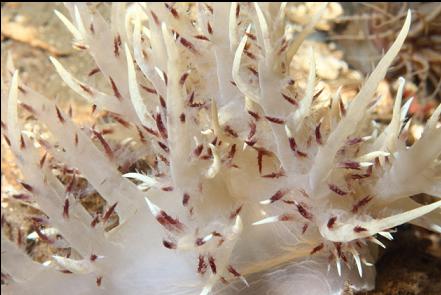
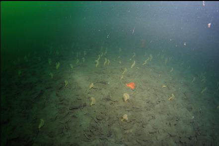
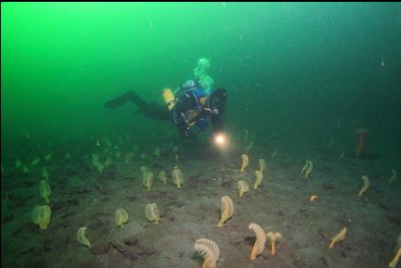
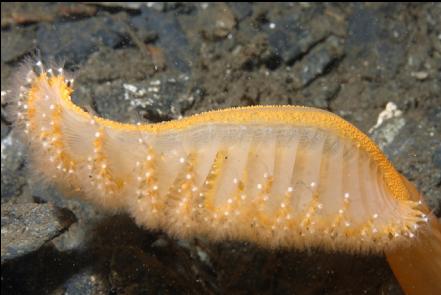
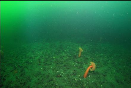
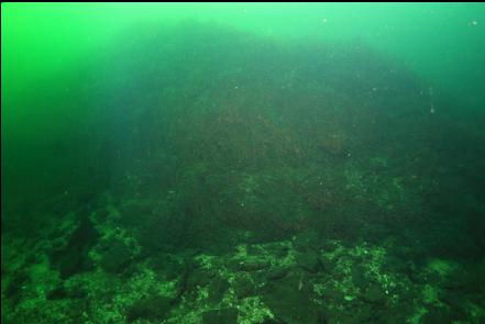
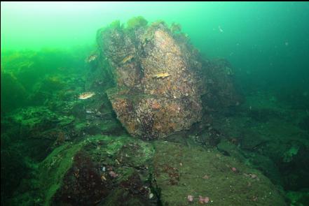
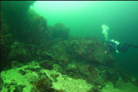
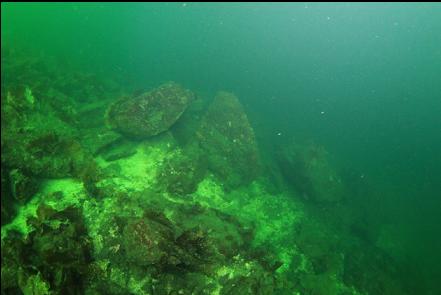
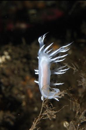
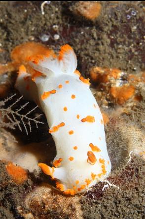
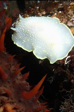
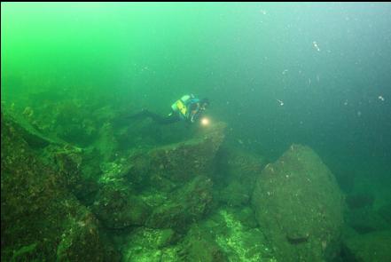
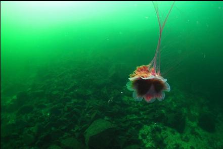
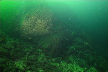
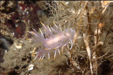
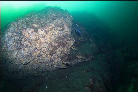
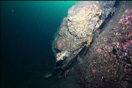
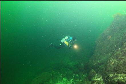
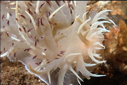
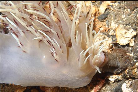
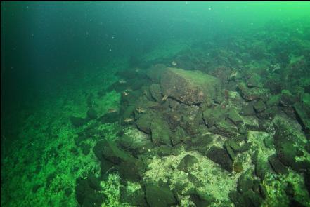
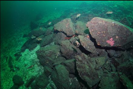
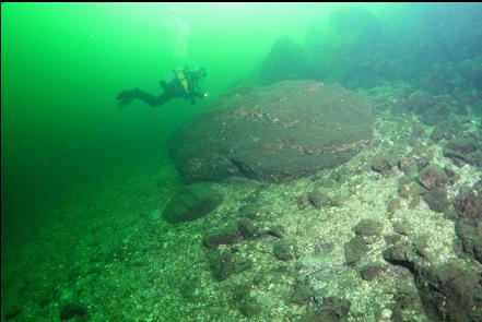
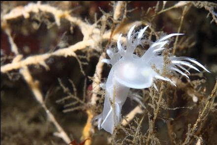
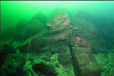
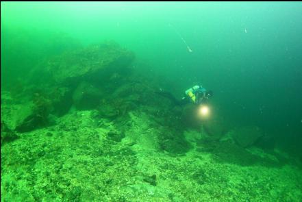
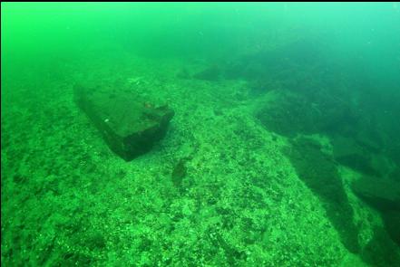
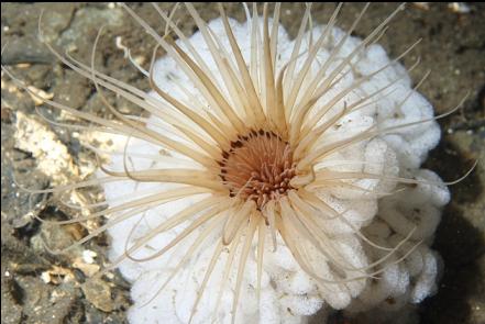
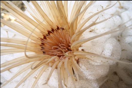
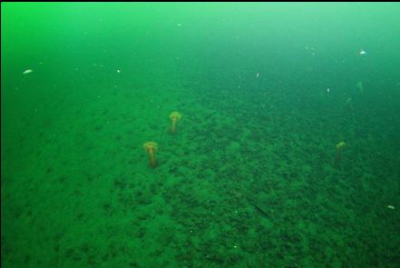
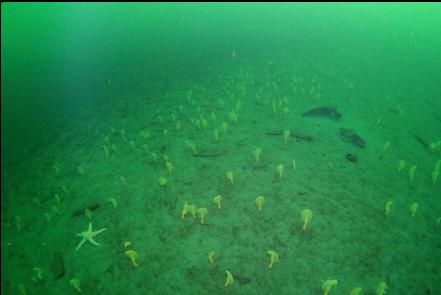
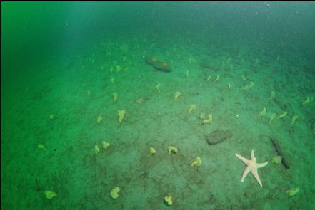
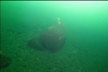
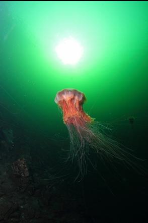
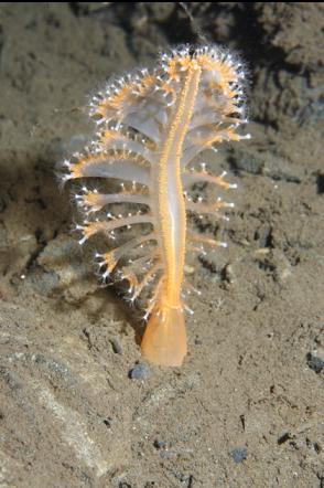
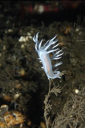
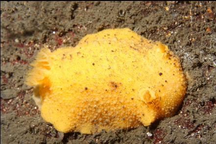
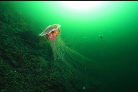
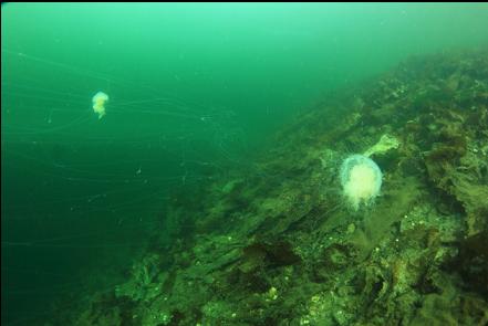
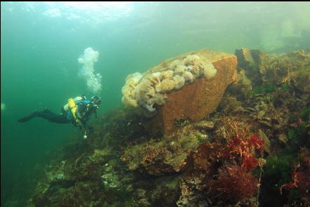
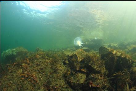
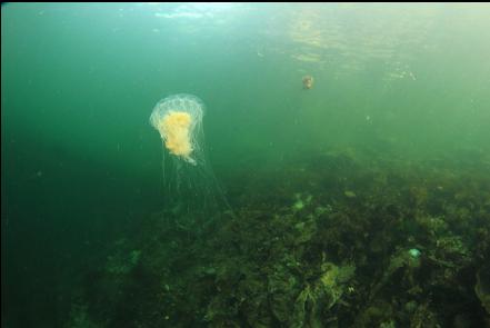
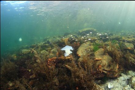
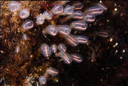
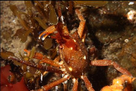
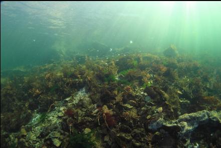
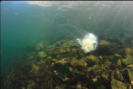
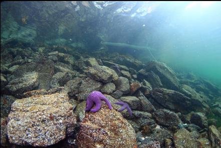
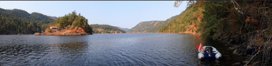
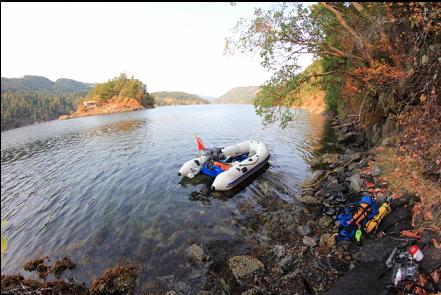
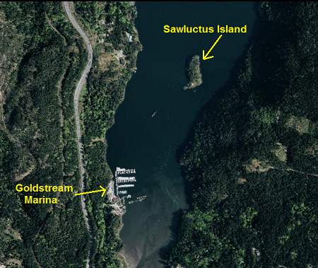
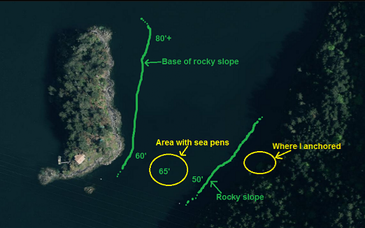
This is a small island down at the Southern tip of Saanich Inlet near the Goldstream Marina. Almost a decade ago I was on a dive boat passing by Sawluctus Island on our way to dive somewhere else. One of the divers mentioned that there was a sunken barge on the other side of the island. Over the years, I've never found anybody or any reference that could confirm this. On Sept. 23, 2012 I had just finished a relatively deep dive up at Repulse Rock and I wanted to do a shallower dive to avoid decompression. The marine chart shows that most of the area around Sawluctus Island is less than 100 feet deep so I anchored my boat on the "mainland" across from the island. The Island is private property and, even though it would be legal for me to land and stay below the high tide line, I didn't want the residents to see my unattended boat and think that an intruder was roaming their island. The distance across the channel was only about 150 meters so I figured I'd just swim to the island underwater. The shoreline underwater sloped down as a fairly steep rocky slope that met the flat, muddy bottom of the channel at about 50 feet deep. Visibility was about 30-40 feet, although there were lots of long, stringy things floating around. They looked like lion's mane jellyfish tentacles, but they were probably some kind of plankton. This rocky slope had lots of large boulders at it's base with groups of copper rockfish around them. On the flat bottom of the channel there were orange plumose anemones, tube-dwelling anemones and giant nudibranchs. I was surprised to see a field of small and medium-sized sea pens. The bottom here was about 65 feet deep in the middle of the channel. I saw the rocky slope of the island rise up in front of me and I followed it North. I was surprised again at the variety of nudibranchs on the rock wall. Some of them, I've never seen before in Saanich Inlet. For the most part, the slope was a rock wall with a pile of boulders at it's base. There were quite a few rockfish (mostly copper, but also a few black and quillback). The base of the slope gradually grew deeper as I swam North along the island. At the Northern tip, it was probably about 90 feet deep. My maximum depth here was 75 feet and I could see the rocks still dropping down below me. I swam back up along the island and crossed the channel back to my boat. I didn't see any sign of a barge, but maybe there might still be one somewhere in the channel or along the shoreline North or South of where I anchored.