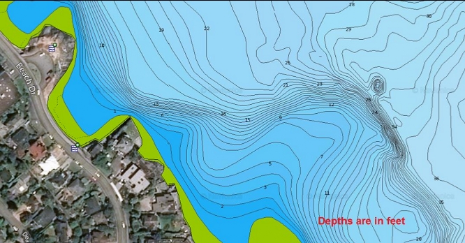
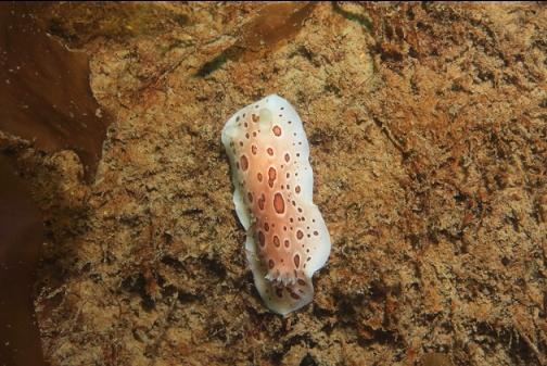
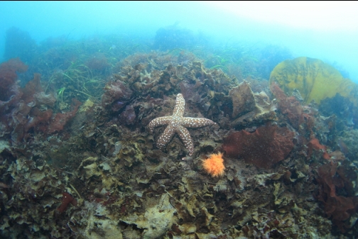
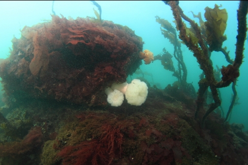
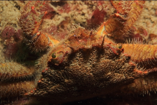
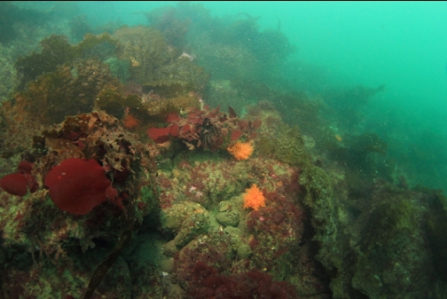
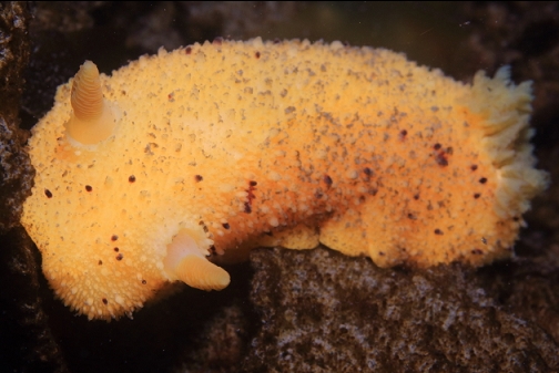
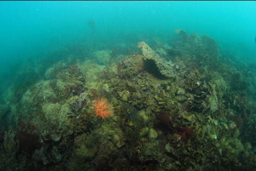
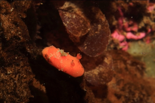
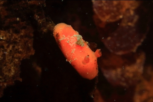
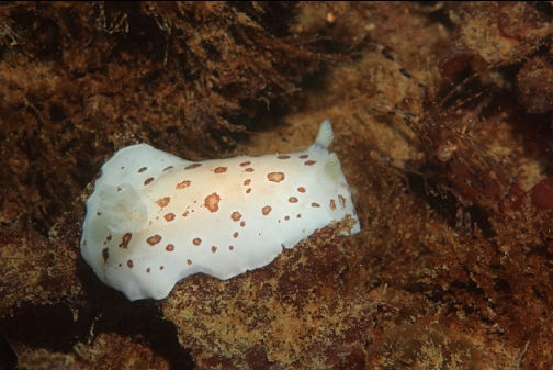
I've only been diving here once before about 13 years ago. It was one of those places that I said I wouldn't bother returning to. Back then I dove here in November and according to my report and photos, there was a rocky reef going down to about 30' with some boulders. The boulders had some colourful invertebrates like sponge and tunicates on their sides. At the time I stayed close to shore, but the sidescan image shows a rocky area that sticks out to about 200 meters from shore. The marine chart shows the far side of this rocky area dropping to about 35' deep. The sidescan only showed the far edge of this rocky area and not what the area closer to shore was like. I assumed that the rocky slope I dove previously was separated from this far reef by a flat sandy area.
I disregarded my commitment to not dive here again and I showed up on April 12, 2020 to see if I could reach the far reef.
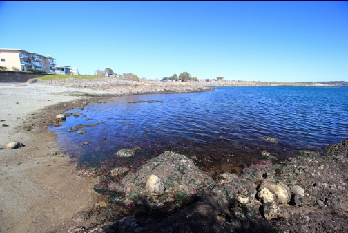
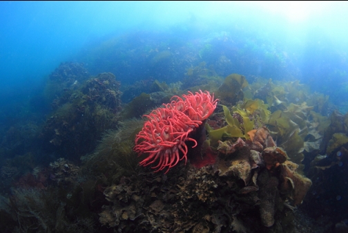
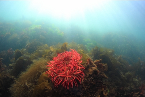
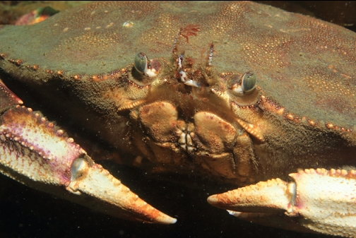
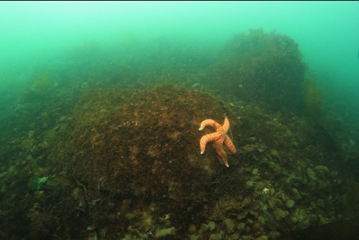
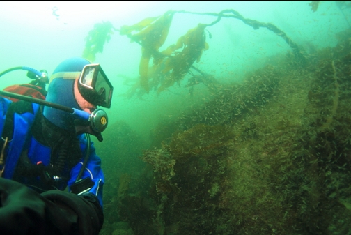
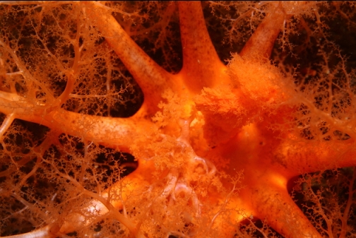
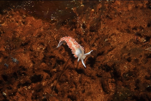
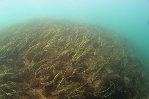
I swam out on the surface to the point on my right. When I descended the bottom was covered with surfgrass and various kinds of seaweed. There was a fish-eating anemone in the shallows. They're pretty rare in this area once you turn the corner North around Gonzales Point.
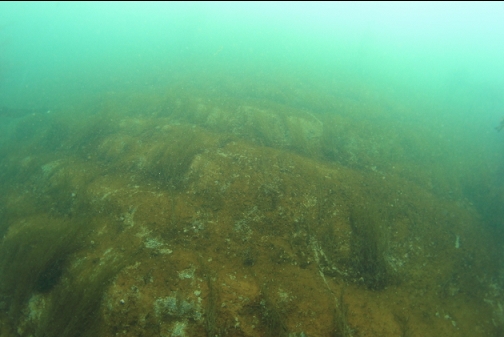
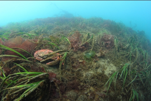
I continued swimming down along the rocky reef that sloped down from shore. Visibility was 10-15'. The rocks were more grey and silty than I remembered. They were covered with grey-brown diatoms. Maybe that's a Spring/Summer thing. I didn't notice any of the colourful coating of invertebrates that I saw last time. The rocky area ended in a plain of flat sand about 20-25' deep. That's shallower than I remember from last time, but today it was low tide and maybe before I was using an analogue depth gauge that wasn't very accurate.
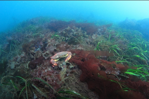
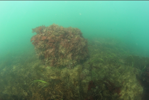
From the base of the rocky slope, I started following my compass East across the 25'-deep sandy bottom towards the farther rocky reef shown on the sidescan image. There were a few boulders on the sand and the sand was mostly covered with a film of brown diatoms.
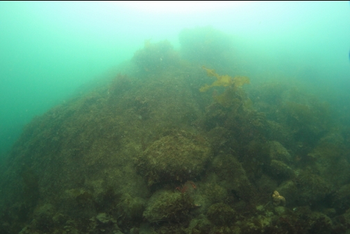
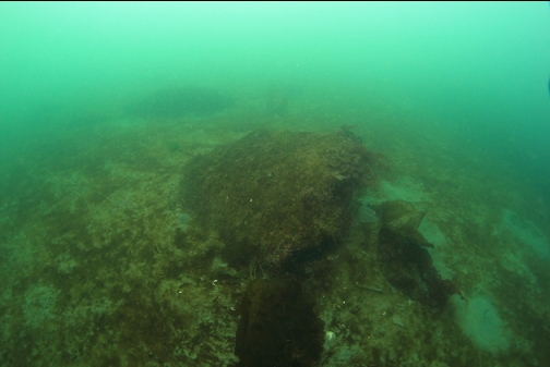
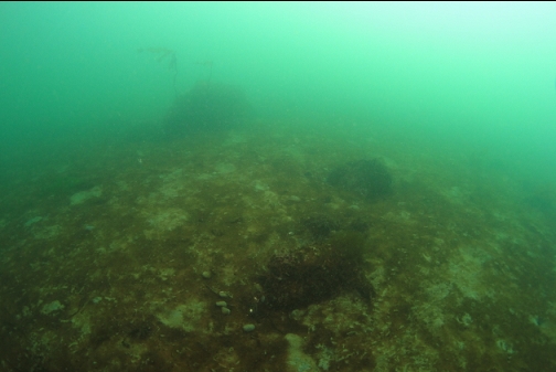
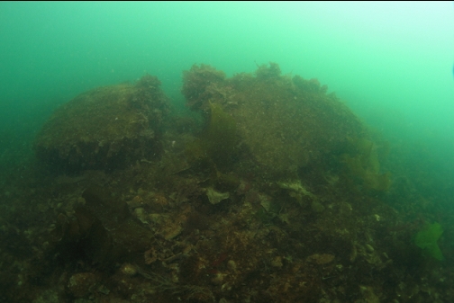
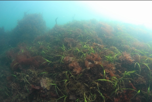
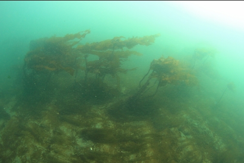
Eventually the bottom turned into rocky rubble and gradually sloped up to the reef I was looking for.
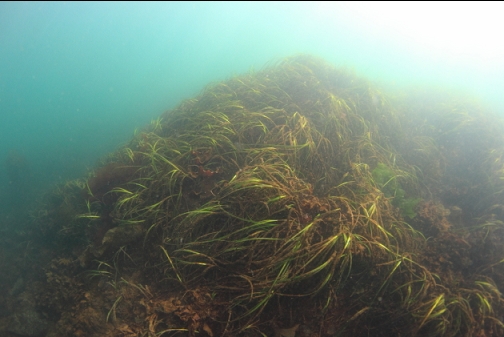
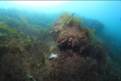
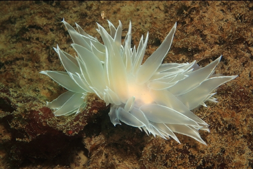
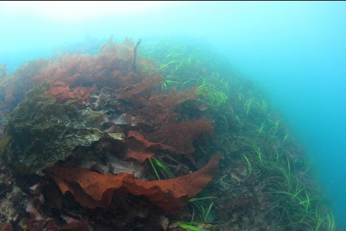
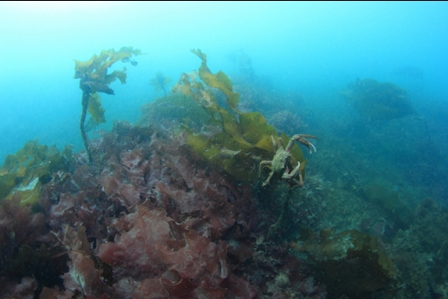
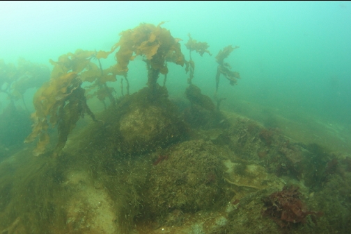
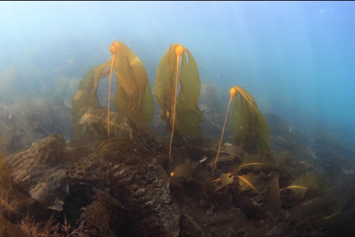
The rocks here were just as silty-looking from diatoms as the area near shore. The top of this reef was about 7' deep. Up here everything was covered with surfgrass and more seaweed. In contrast with the grey/brown rocks, the bright green and red seaweed seemed pretty colourful.
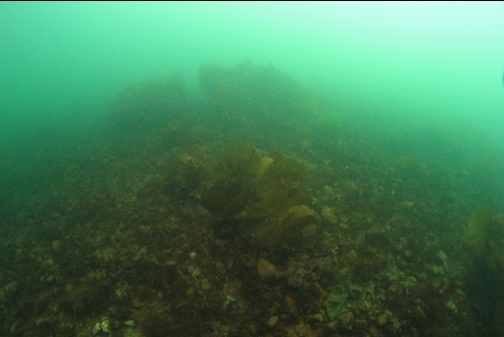
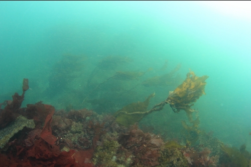
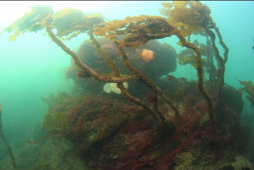
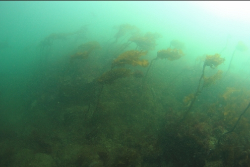
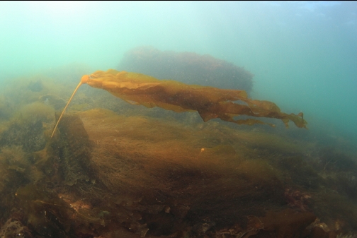
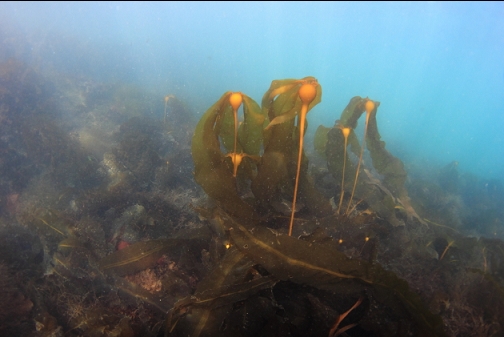
I swam down the far side of this reef, expecting to reach a depth of over 30' as promised by the chart. I actually reached the flat sandy bottom at only 15' deep. There was stalked kelp flowing in the almost too-strong current. The sand was pushed up into small dunes either by the current or from occasional storms.
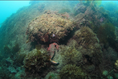
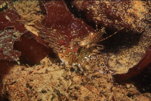
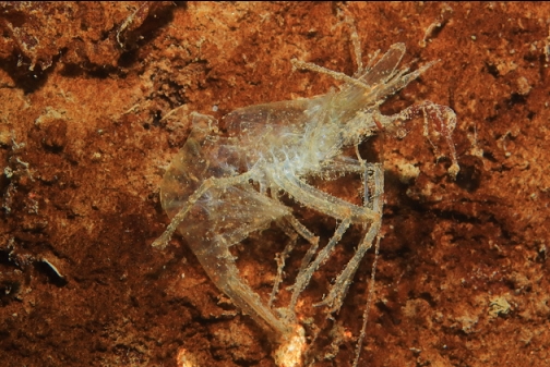
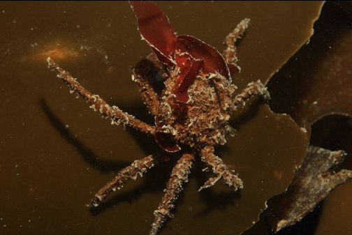
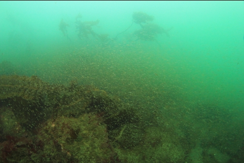
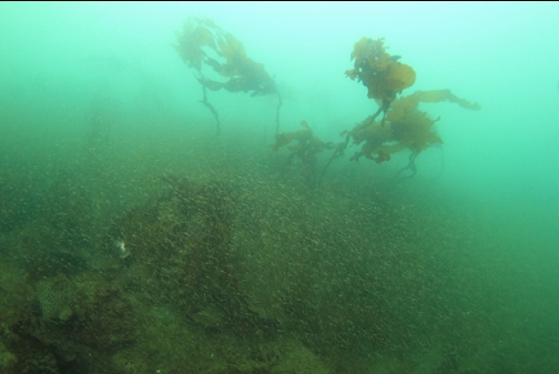
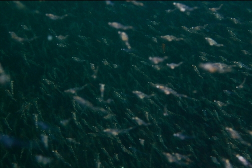
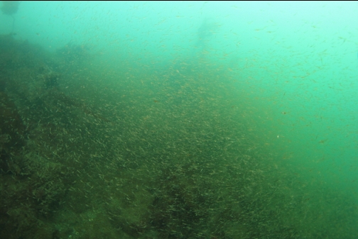
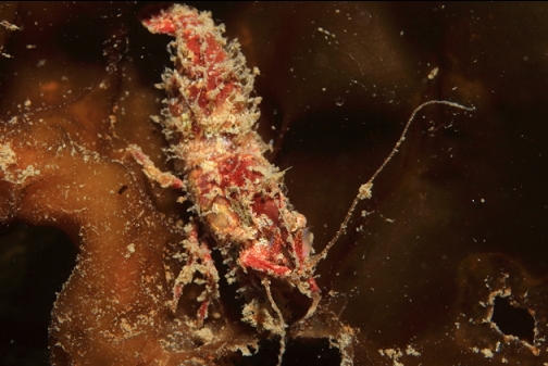
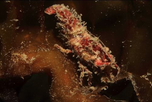
I continued to swim East across the new sandy area and another reef popped up (again, its top was about 7' deep). I realized that the rocky area was a series of reefs separated by narrow sandy channels. The current out here was now unnervingly-strong. I swam up and over a few more rocky areas in this maze and finally dropped down to about 32' deep. Because of the current and distance from shore I didn't stick around long enough to see much. What I did see was more of the same bare, grey, silty-looking rocks. There were some big clouds of mysid shrimp that blocked the view in one area.
I followed my compass back West and spent the rest of the dive back at the rocky slope near shore.
So after 13 years I gave this place a second try and my opinion of it is even worse than last time. During the whole dive I only saw one fish (a white-spotted greenling). I didn't even see any of the small sculpins or gobies that are all over the place at most dive sites. I think the bare grey rocks, the potentially strong current and the distance from shore make this a dive I'll never do again (for sure this time).