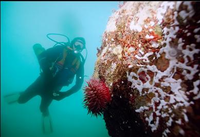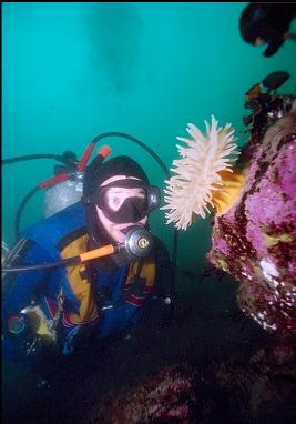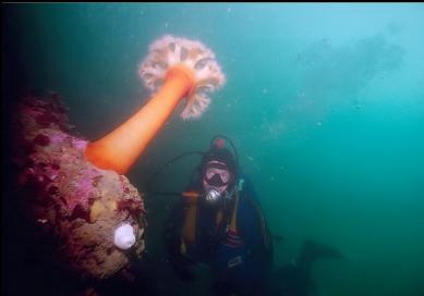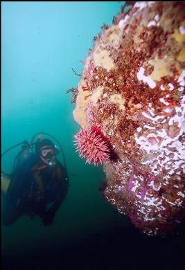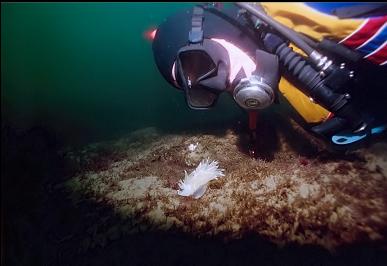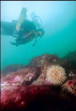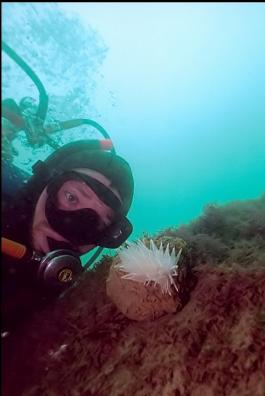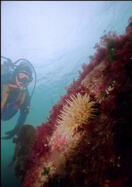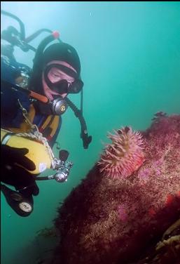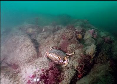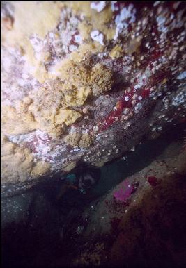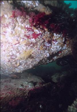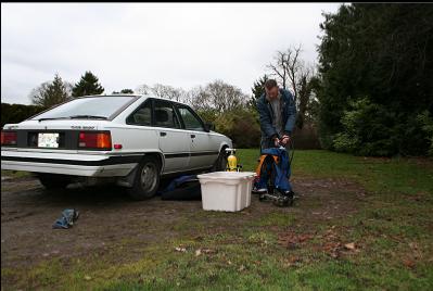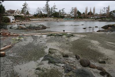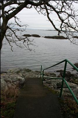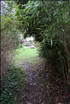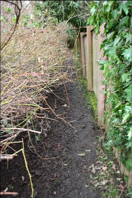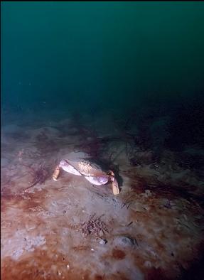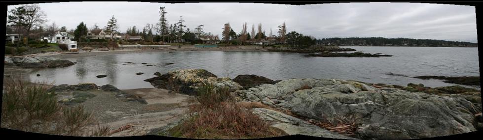
This is the next public beach access North of Funnel Cove in the Cadboro Bay area. As at Funnel Cove, I came here (Feb. 9, 2007) looking for the wreck of the Enterprise. There is a small grassy field off Beach Drive with a "public beach access" sign and a water fountain. There is a driveway leading into this field and lots of tire tracks in the mud so I assumed it was OK to park here (there were no "no parking" signs). A narrow trail led down to some steps and Spoon Bay. The chart showed a large shallow (15 feet deep) area offshore and I figured it would be a good place to look for the wreck. Outside of the the North side of this bay, the chart also shows a shallow rocky reef which I figured would make for a semi-interesting dive even if I didn't find the wreck. I swam out to the small island at the North entrance to the bay and descended. The rocky slope of the island met a sand/mud flat bottom at 10-15 feet deep. I swam out over the mud for the reef shown on the chart. I swam around in circles for a bit and had to surface a few times to see where I was, but eventually I reached the rocky area I was looking for. It came to within about 6 feet of the surface and sloped down to about 25 feet deep. Visibility was about 15 feet. The topography and life was very similar to nearby Funnel Cove. The flat surfaces of the rocks were silty and covered with red seaweed. The vertical surfaces where silt couldn't settle were more colourful, with colonies of tunicates, encrusting sponge, and the odd anemone. The only fish I saw were some longfin sculpins and a small kelp greenling. It was difficult taking my usual "self-portrait with whatever" pictures. When ever I set down the camera on the bottom, a cloud of silt would swirl up which would ruin the shot. I had to leave the camera on the bottom and swim around for a bit waiting for the "dust" to settle before taking the picture. After about an hour, I swam back to the entry point along the shore about 15 feet deep. The only man-made things I saw were 2 tires, bottles and a length of rope. The shallow area goes out quite far and I only explored the area near shore so who knows, the wreck could still be out there.