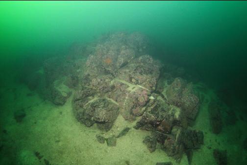
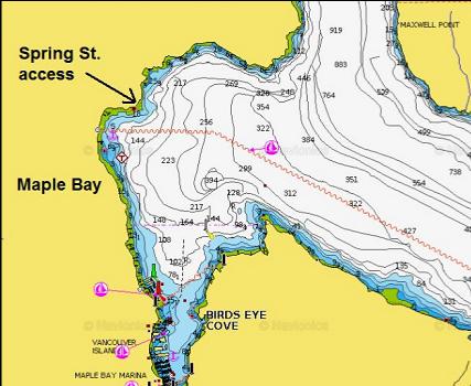
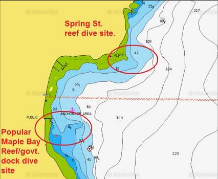
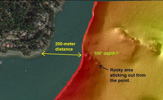
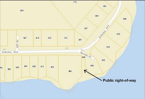
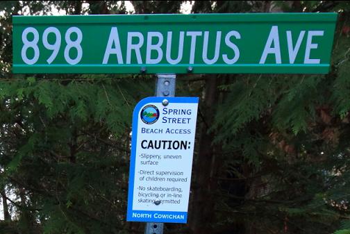
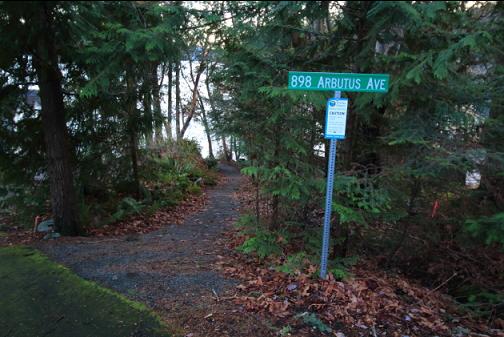
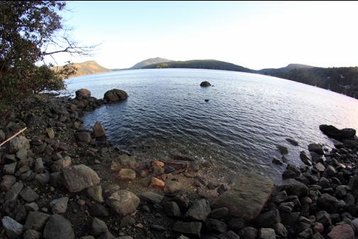
The North Cowichan zoning map shows a public right-of-way at the end of Spring St. that leads to the water in Maple Bay. This coincides with an official beach access listed online as the "Spring St. Stairs". On the zoning map, Spring St. is a short road off Arbutus Ave. This access leads to the water at a point sticking out into Maple Bay a bit North of the well-known Maple Bay government dock dive site. The marine chart shows depths over 100' deep within a reasonable swim from shore and a side scan image shows part of a rocky area sticking out from the point.
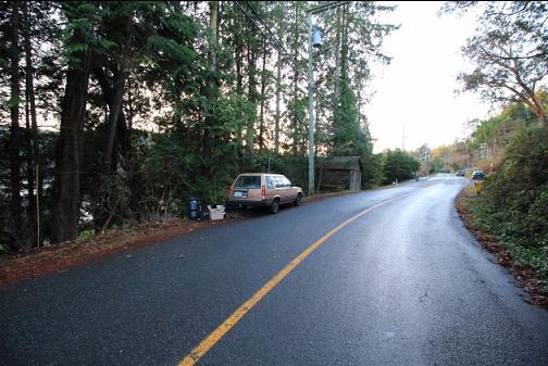
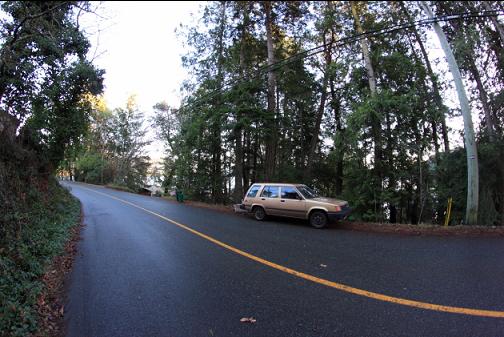
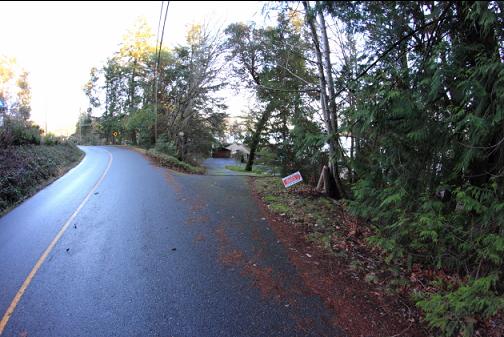
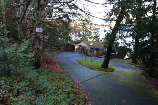
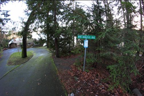
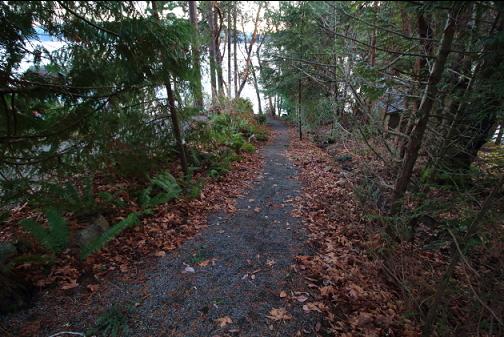
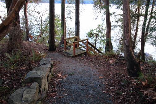
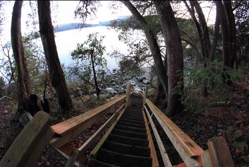
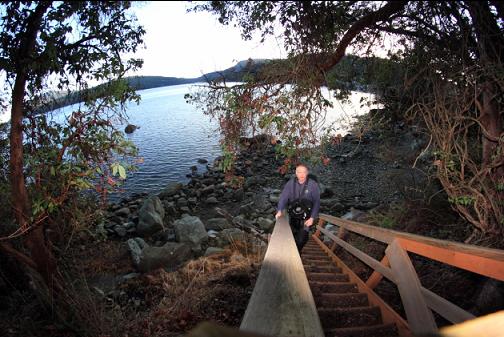
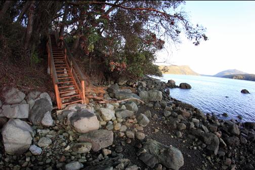
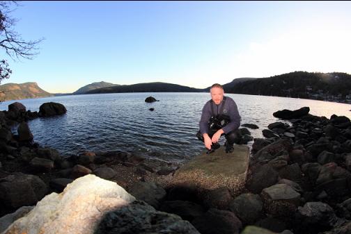
I had never heard of anyone diving here so I drove up from Victoria on Dec. 20, 2016 to see if it was possible for a diver to reasonably access the water and if so, to see what it was like underwater. The daily Malahat highway closure is usually in the afternoon, but today it was in the morning so it took about 3 hours to get to Maple Bay. Once there, I drove along Arbutus Ave. looking for Spring St. I drove back and forth slowly 3 times, but Spring St. didn't seem to exist. There was no road branching off and definitely no street sign. I ended up parking and walking down the driveways one after another to see if there was a public access trail to the water at the end of any of them. I don't have one of those portable computer telephones so I couldn't look up the zoning map online and see what the nearest house number to the fake "Spring St." was. I eventually found the trail next to house #888. A sign next to the trail called it the "Spring St. beach access". I walked back to my car and re-parked as close as I safely could on the narrow shoulder. If you drive a Fort MacMurray limo, you'll have to park farther away where the shoulder is wide enough. The trail was a bit steep (but short) and it ended in a staircase leading down to a rocky boulder beach.
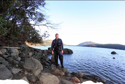
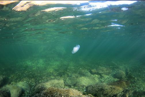
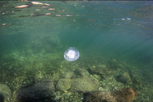
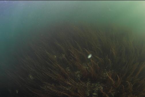
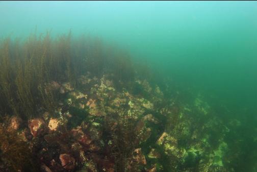
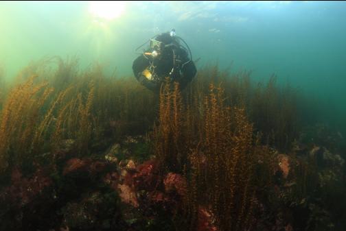
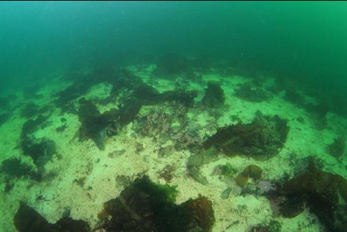
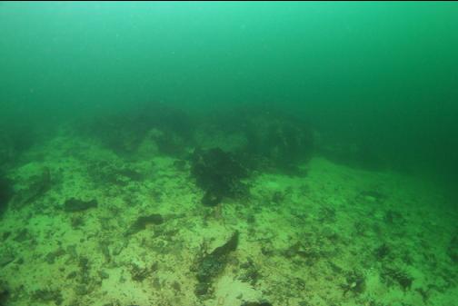
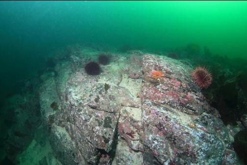
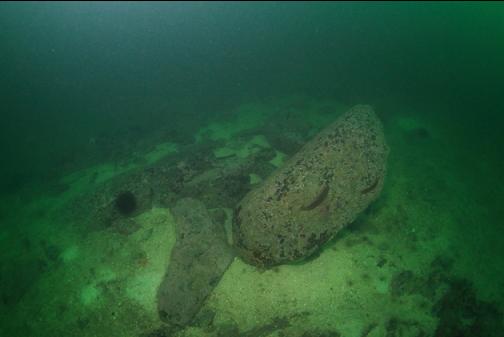
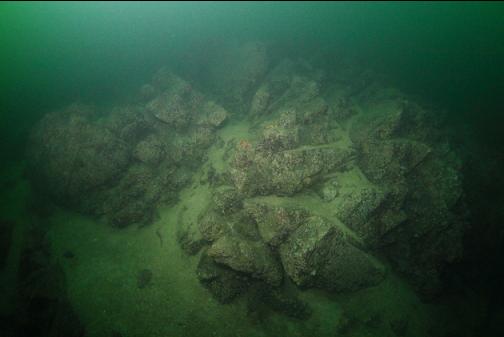
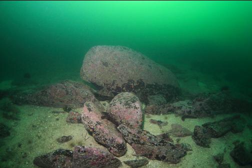
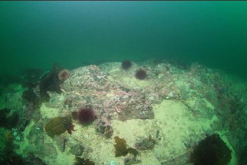
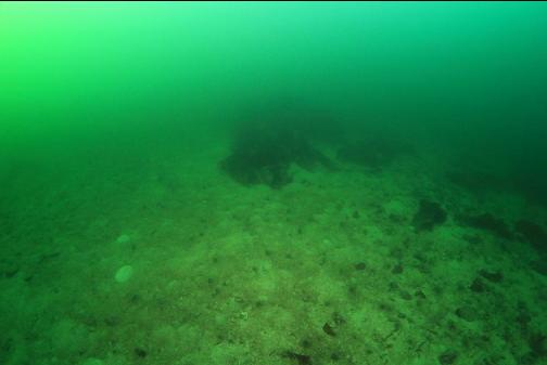
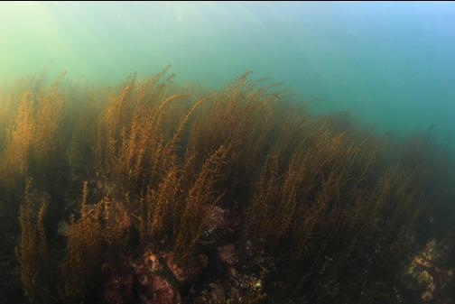
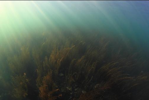
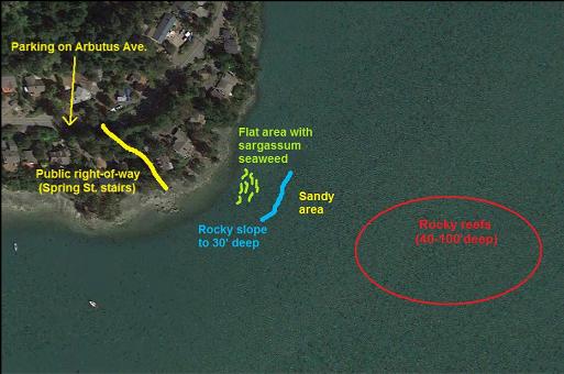
I swam out more-or-less East. Right away, I was impressed by the visibility. It was maybe 30-40'. There was a flat area with a meadow of sargassum seaweed and then there was a broken-rock slope going down to about 30' deep.
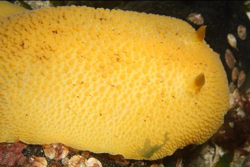
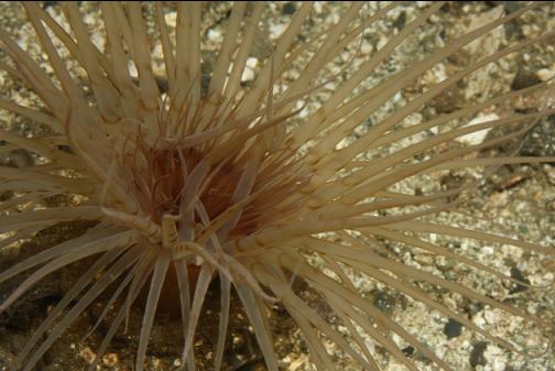
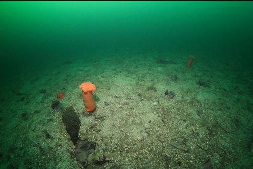
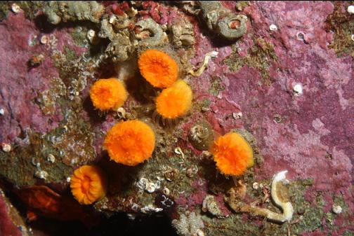
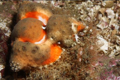
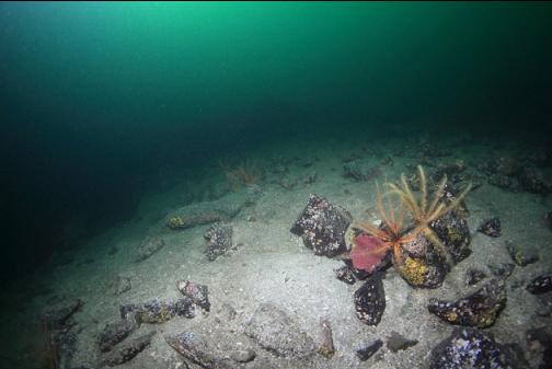
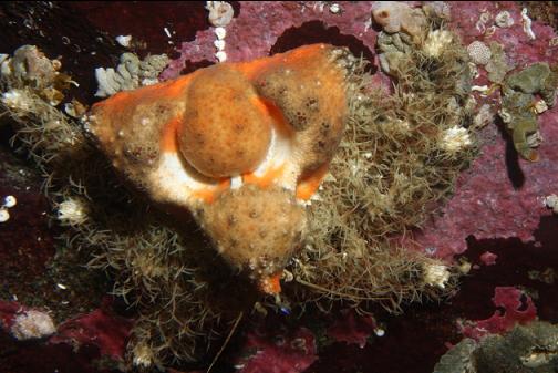
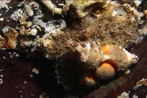
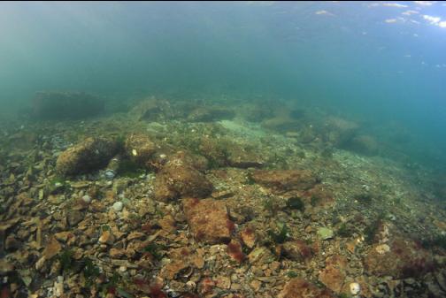
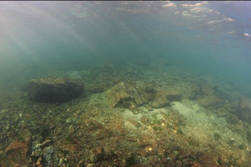
At the base of this rocky slope I swam out over a sandy area. There were lots of tube-dwelling anemones and a few orange plumose anemones.
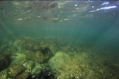
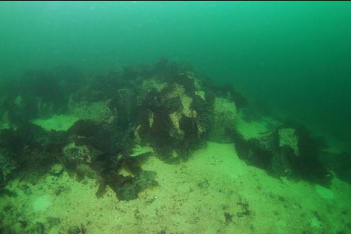
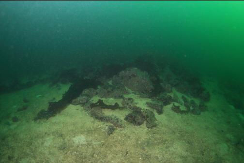
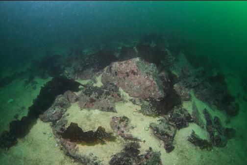
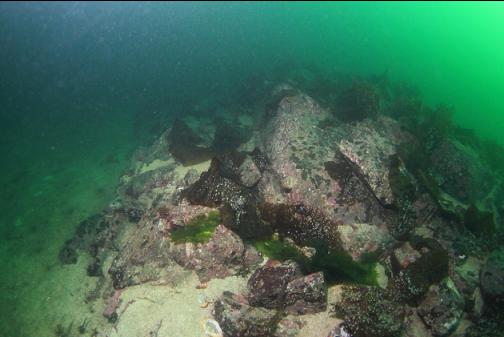
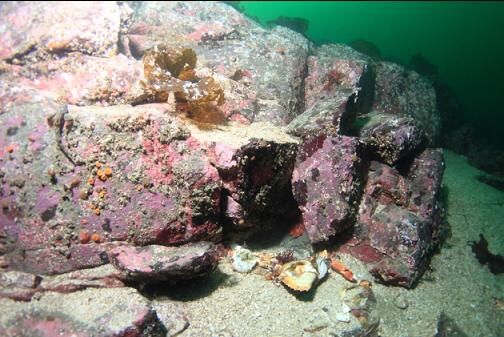
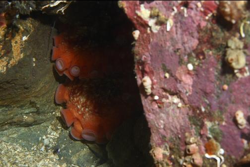
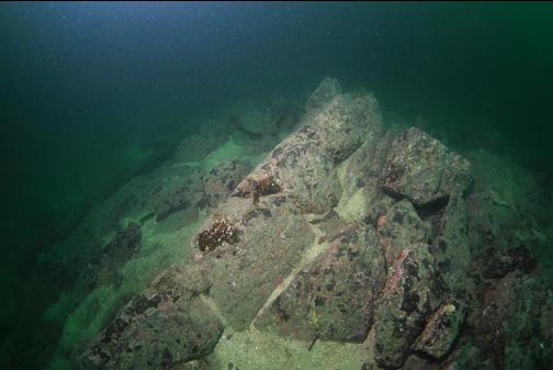
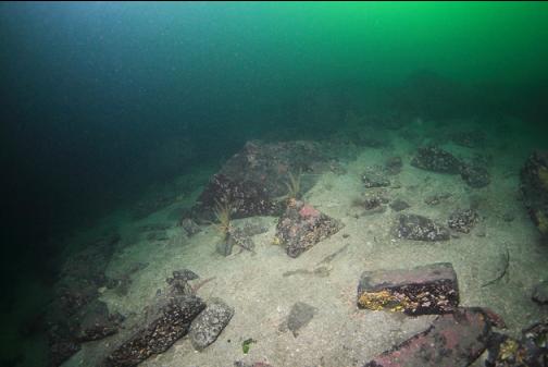
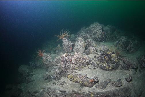
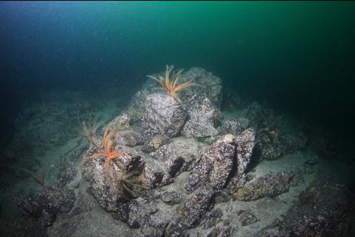
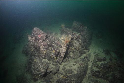
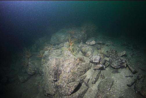
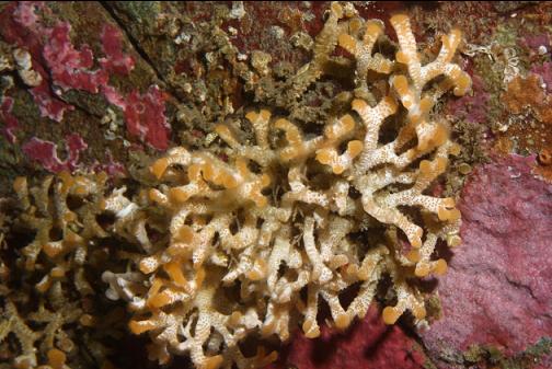
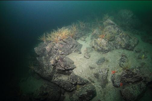
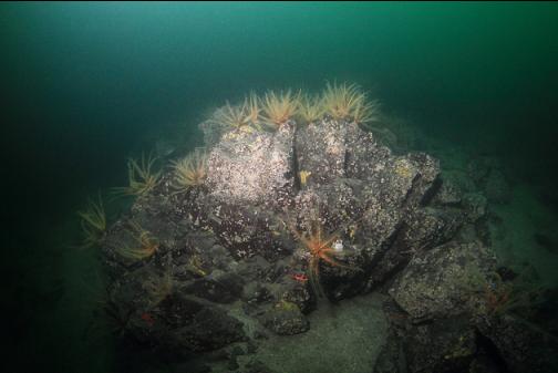
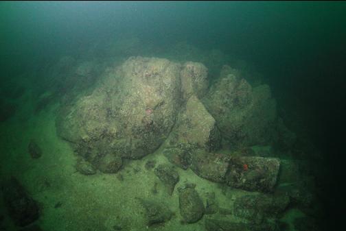
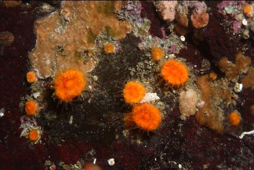
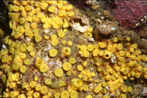
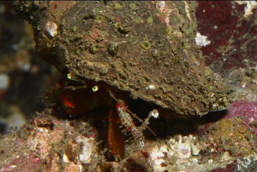
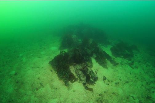
Before long, I saw a rocky reef starting about 40' deep. There were 2 or 3 octopus dens in the cracks. I saw about half a dozen rhinoceros crabs. There were also lots of cup corals.
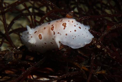
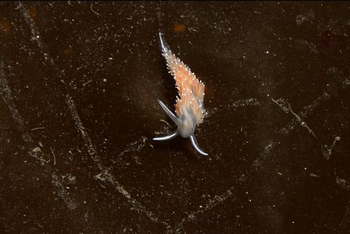
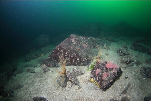
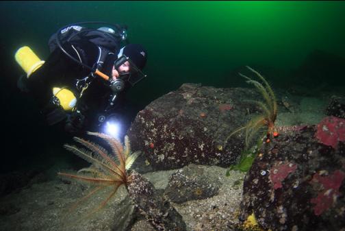
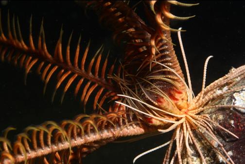
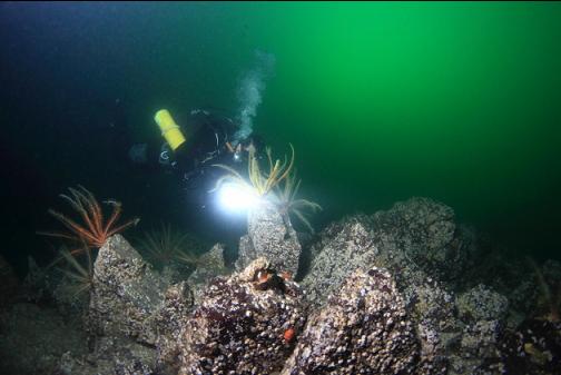
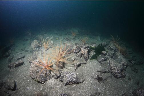
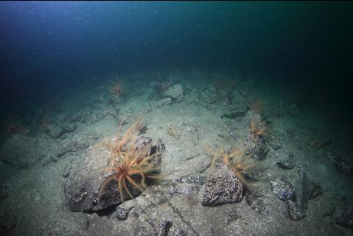
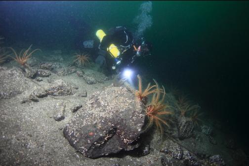
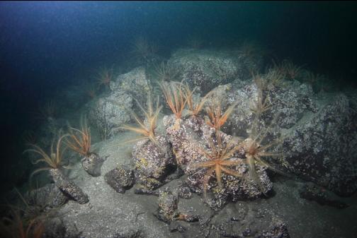
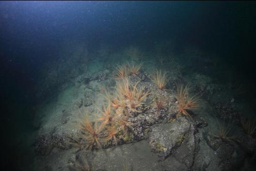
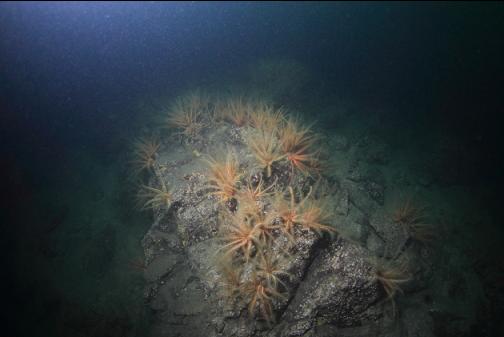
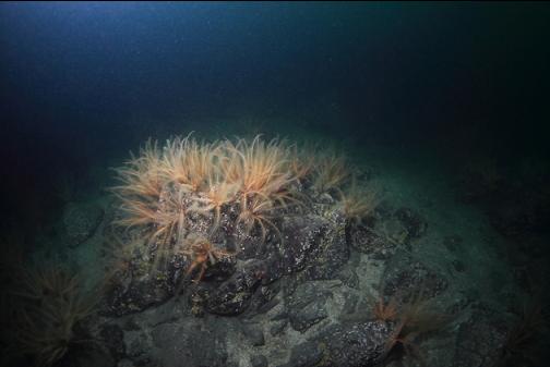
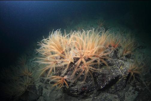
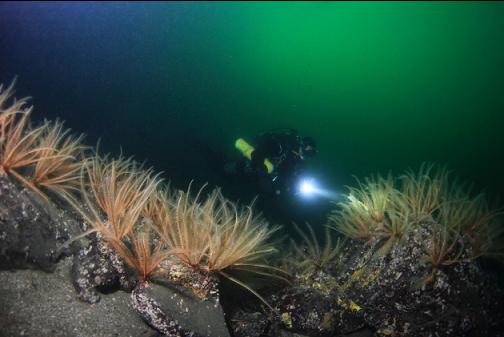
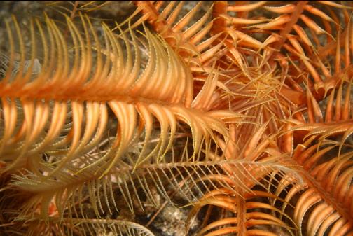
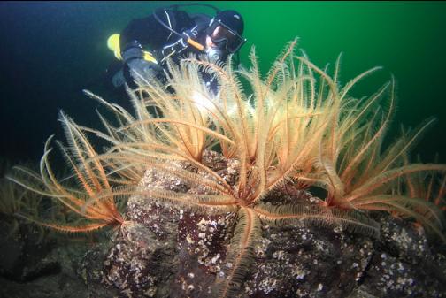
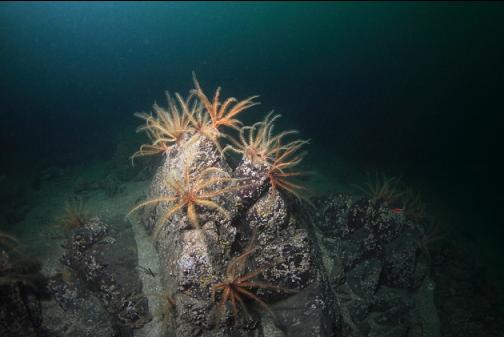
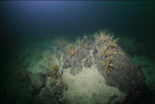
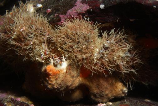
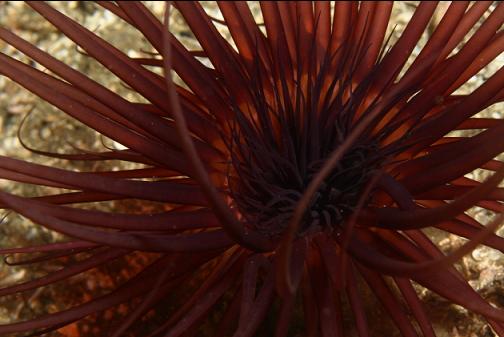
At about 65' deep, I saw 2 feather stars. I was pleased enough at this to stop and take a few pictures of them. As I continued to swim deeper, I could see feather stars everywhere below 70' deep.
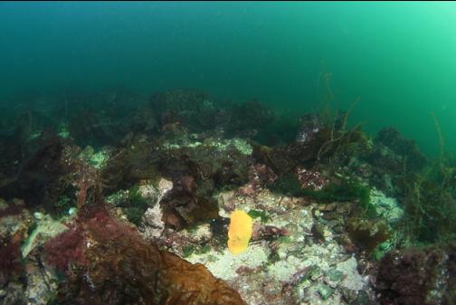
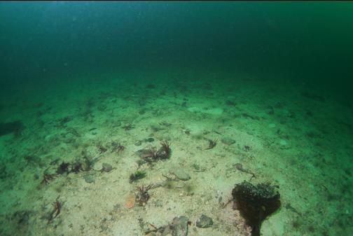
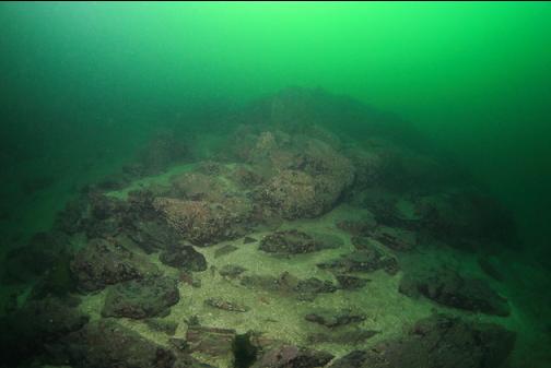
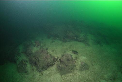
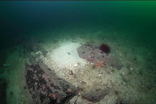
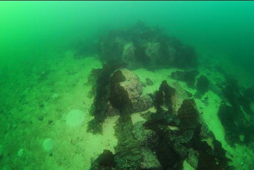
At around 95' deep, the main rocky area seemed to end and there were just small rocks scattered down the sandy slope.
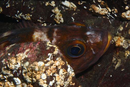
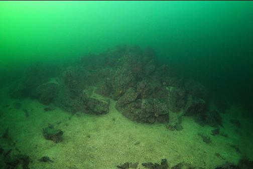
I didn't have the air to keep looking deeper for more rocky reefs so I swam back up along the main rocky area. Some of the rocks were covered with feather stars. I didn't expect to see this many in Maple Bay. One strange thing here was the lack of fish. On the entire dive I only saw one small brown rockfish, one copper rockfish, one kelp greenling, one goby, one longfin sculpin and a small school of perch.
Back above 65' deep, the feather stars disappeared.
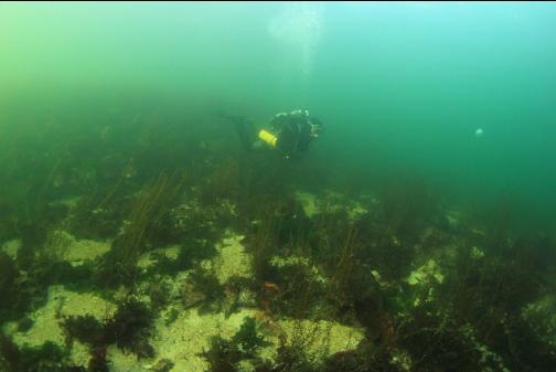
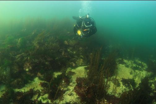
I swam back across the sand to the 20-30'-deep rocky slope near shore.
Despite the strange lack of fish, I think this spot is worth another visit.
I'm curious to see if there are any other rocky reefs in the area.