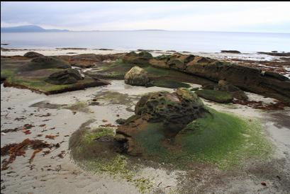
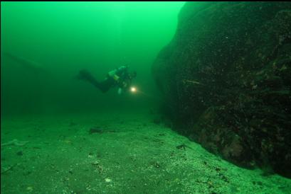
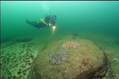
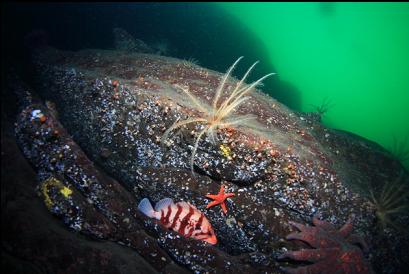
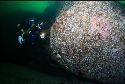
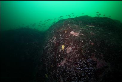
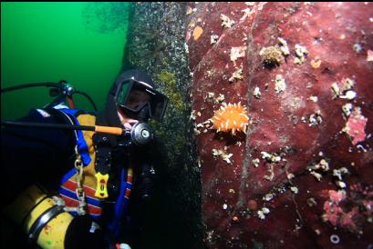
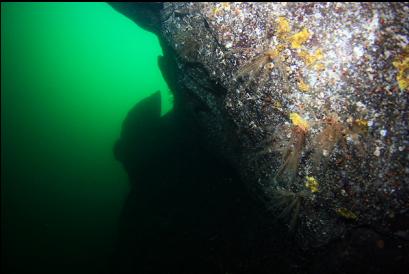
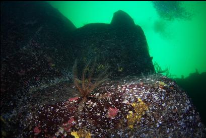
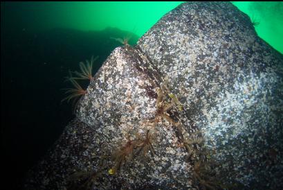
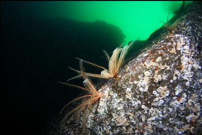
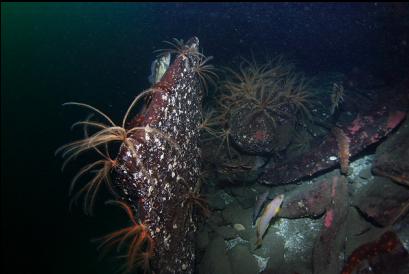
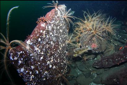
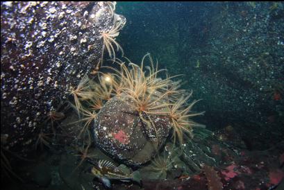
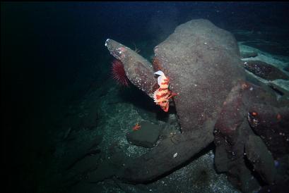
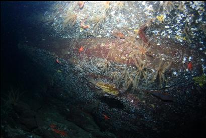
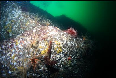
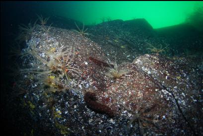
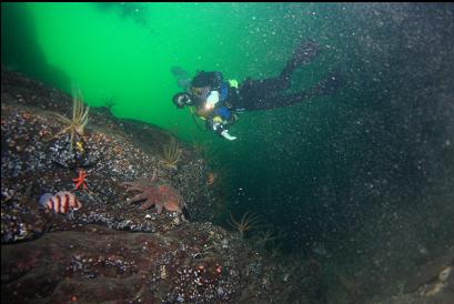
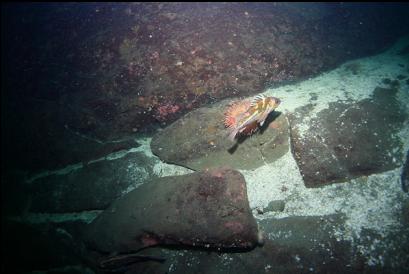
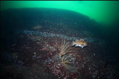
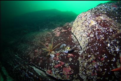
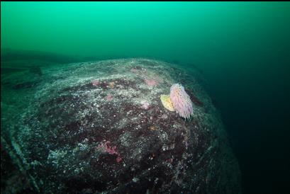
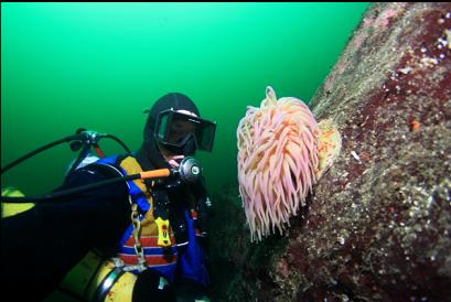
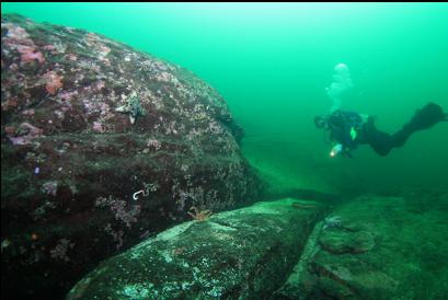
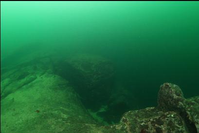
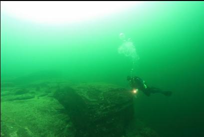
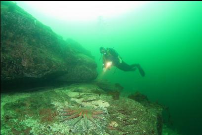
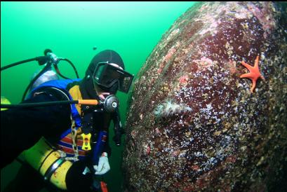
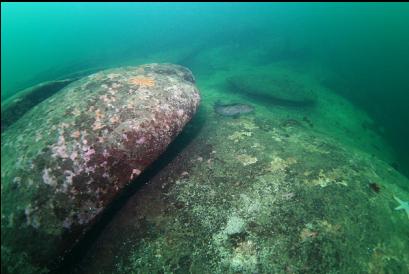
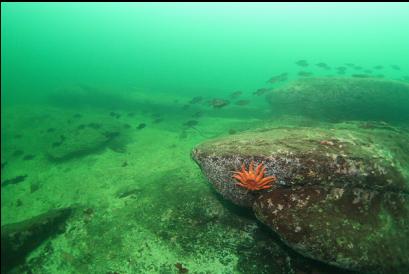
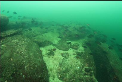
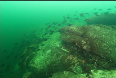
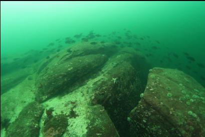
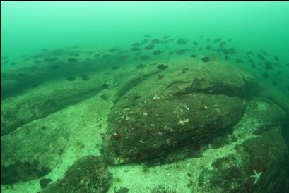
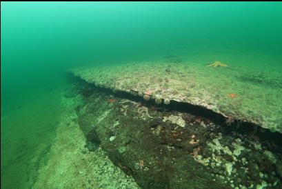
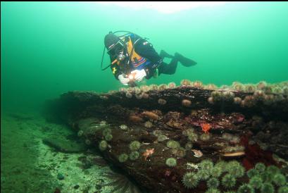
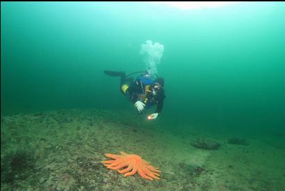
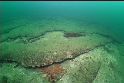
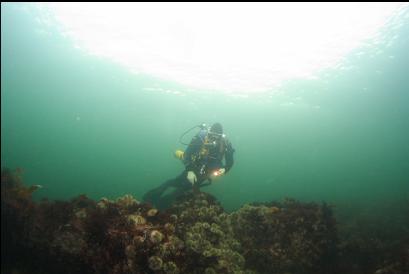
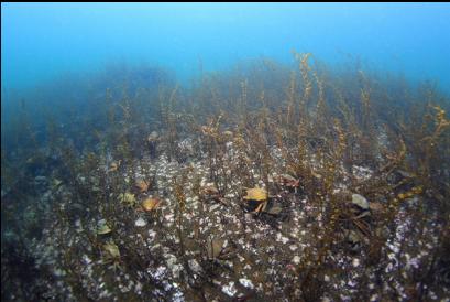
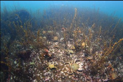
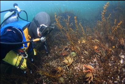
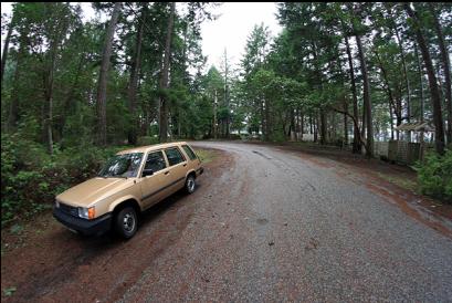
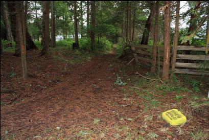
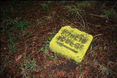
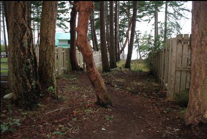
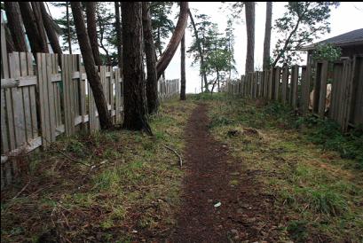
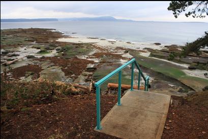
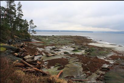
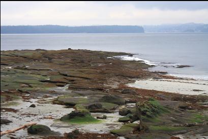
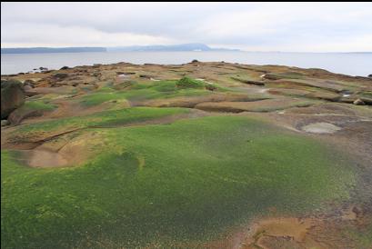
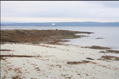
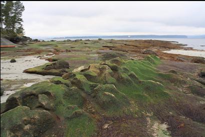
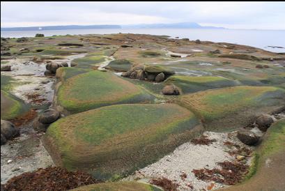
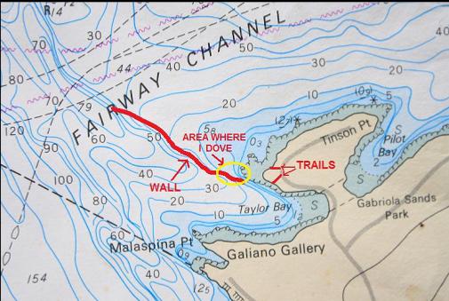
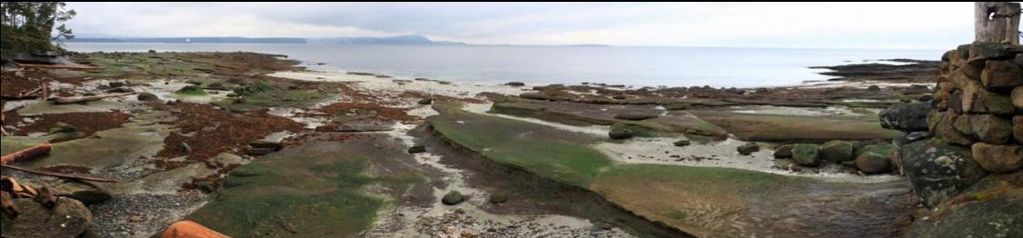
I've mentioned before that according to the Land Title Act, all subdivided waterfront property in B.C. has to have public access lanes to the water every 200 meters or so. In many places, the locals are either unaware of these lanes (and think you're trespassing) or they actively try to discourage their use (no parking signs, fences, hedges, etc.). To maximise "buildable" land, many developers place the lanes in the steep areas (cliffs), where water access is impossible anyway. On Gabriola Island, things are refreshingly different. The Gabriola Island Chamber of Commerce publishes a map showing many of these lanes. They are usually kept cleared and accessible, and to make sure that you have no problems finding them, they're marked with yellow-painted stones with "Public Access" carved in them. This makes shore diving on the island almost suspiciously easy. I almost feel nervous when I walk down these lanes. The yellow stones seem like bait. I feel like there must be some kind of booby-trapped cage door that will slam shut and I'll be hauled off to work as a slave in some organic coffee-roasting factory. Taylor Bay is on the North end of Gabriola Island. It's the next bay up from the "Malaspina Point" dive site. The chart shows a long wall running out from the Northern Point of Taylor Bay that eventually goes deeper than 150 feet. At the point, there are 2 public access trails only a few houses apart (on Decourcey Drive). There is one trail for each side of the point. The distance to the wall seemed about the same from the end of both trails so I chose the one that's outside the bay and swam out on the surface to the point (Jan. 23, 2011). I descended to a shallow plain of flat sandstone slabs and round basin-like "lenses" worn into the rock here and there. I swam out to where the wall should be and I saw the edge of it drop off in front of me when I was about 25 feet deep. The base of the wall near the point was 60 feet deep. It was a sheer sandstone wall with feather stars and a few painted anemones. Visibility was 40-50 feet. I took one of my usual self-portraits at the bottom of the wall and later, on the surface, I noticed a blurred sealion in the background of the picture. There were areas of rubble at the base of the wall, where I saw a tiger rockfish or two. This would be great wolfeel habitat, but I didn't see any (I didn't look under every rock). I eventually made it down to 95 feet deep before turning around. The wall continues on much deeper. I didn't see any boot or cloud sponges or plumose anemones. At the top of the wall there was a large school of perch and the shallows near shore were covered with kelp crabs. The topography was nice and dramatic, but I didn't see as much invertebrate life on the wall compared to some of the other local shore dives. I still think it's worth another try to see what the wall looks like farther out.