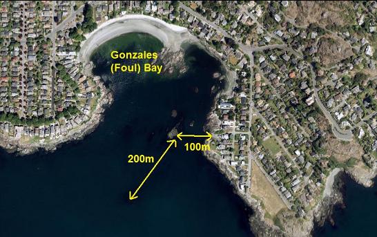
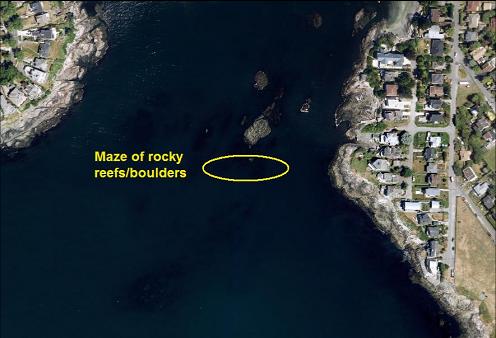
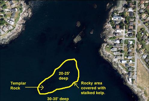
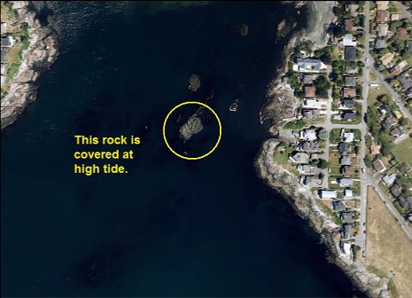
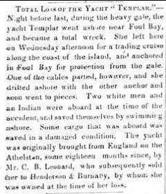
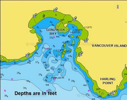
Templar rock is a just-under-the-surface rocky area at the entrance to Gonzales Bay. It was named after the yacht Templar that tried to anchor in the bay to shelter from a gale on Jan. 24, 1862. The anchor cable broke and it went ashore and was wrecked. Gonzales Bay was originally named Foul Bay. Foul was a nautical term that referred to a bad bottom for anchoring. Some maps spelled it as Fowl Bay and some references said it was named by Isabella Ross (an early Metis settler who moved here around 1854) after all the birds (fowl) in the area. I saw an HBC map from 1850 spelling it as Foul Bay however, so I'll stick with the bad place to anchor naming story. This bay is full of rocky reefs, which would definitely make it an intimidating place to bring a vessel into, nevermind trying to anchor. The name was eventually changed to Gonzales Bay, maybe because it was easier to sell real estate in a neighborhood that didn't have the word foul in it.
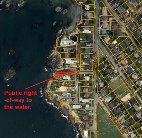
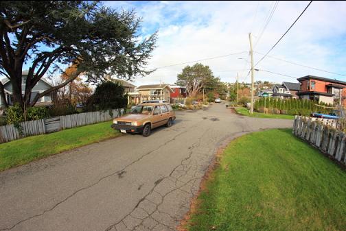
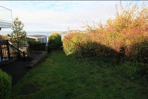
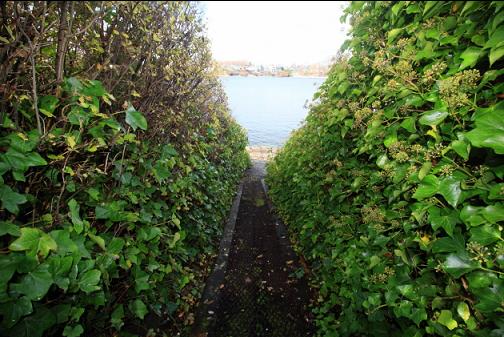
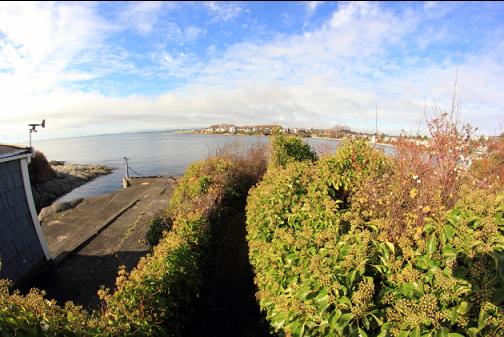
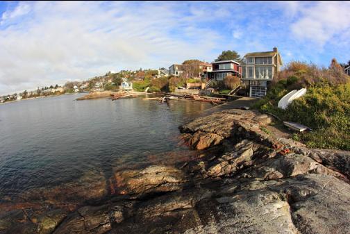
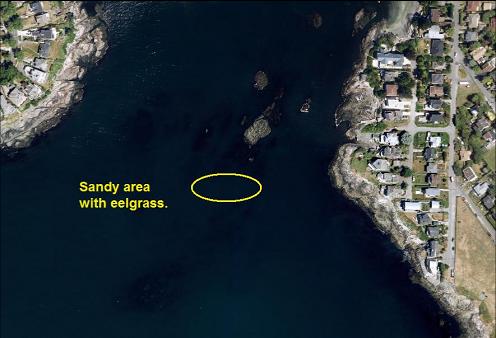
I always thought that Templar Rock was a bit too far to swim to from shore, especially in an area with some current. I showed up for a look anyway and it seemed like the patches of kelp marking the rocks weren't really all that far away. I came back the next day (Nov. 6, 2016) to try for a dive. I parked next to a public right-of-way trail to the water at the end of Repulse St. in the Harling Pt. area. The trail was narrow, but short and it ended on a solid-rock shoreline on the East side of the bay.
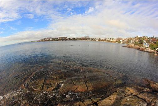
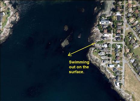
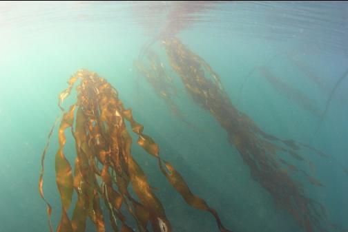
I snorkeled out on the surface towards the nearest patch of kelp about 100 meters away. The visibility was pretty decent and I could see the bottom 20' below me during the swim.
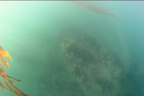
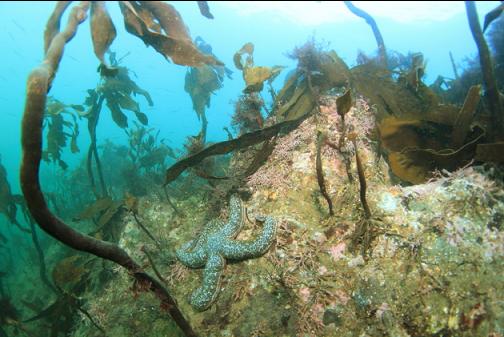
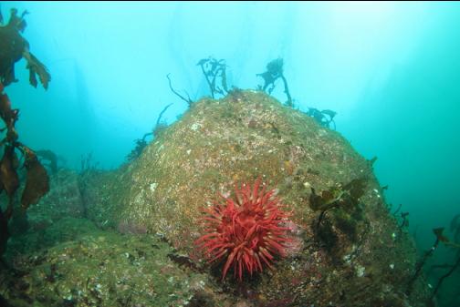
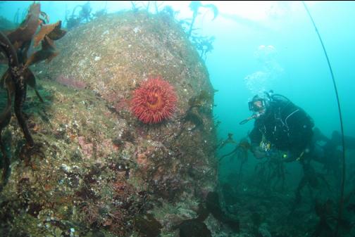
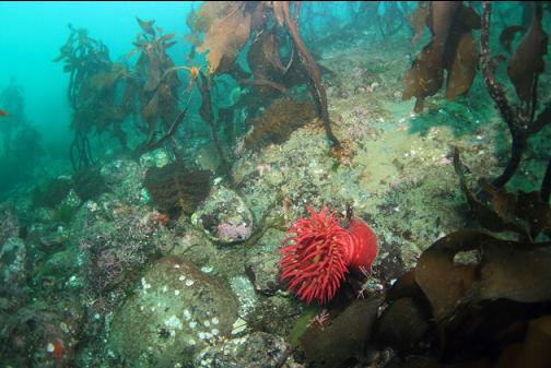
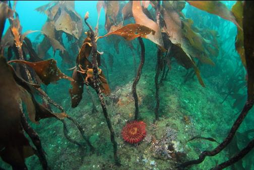
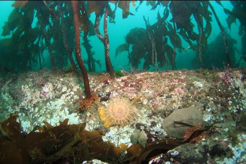
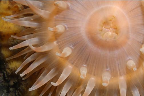
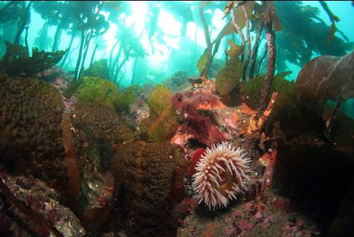
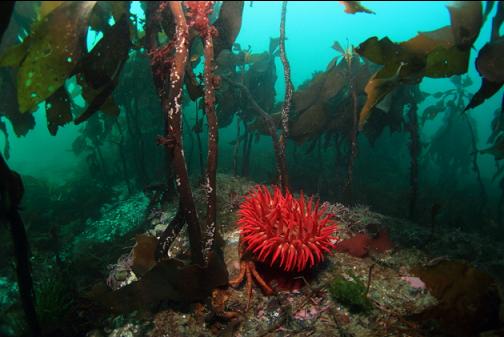
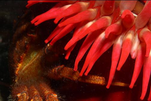
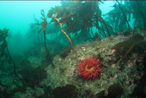
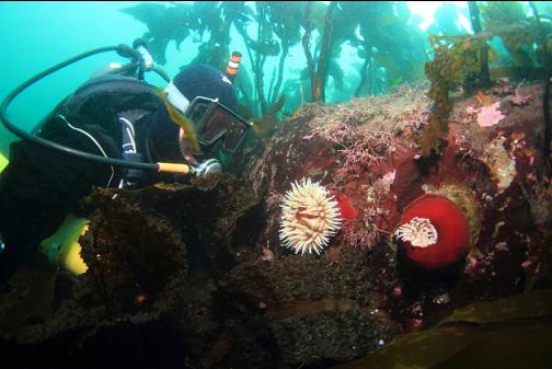
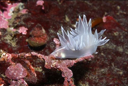
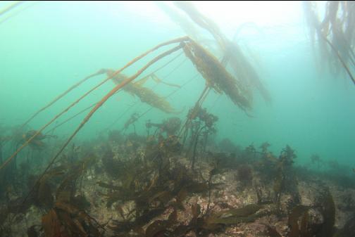
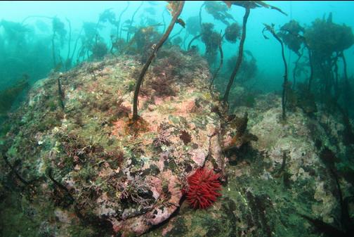
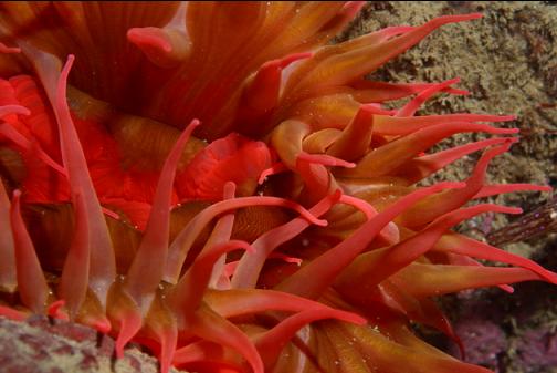
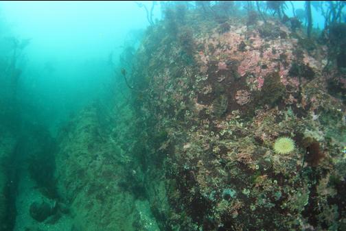
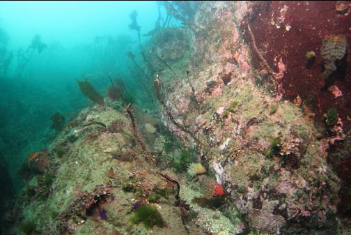
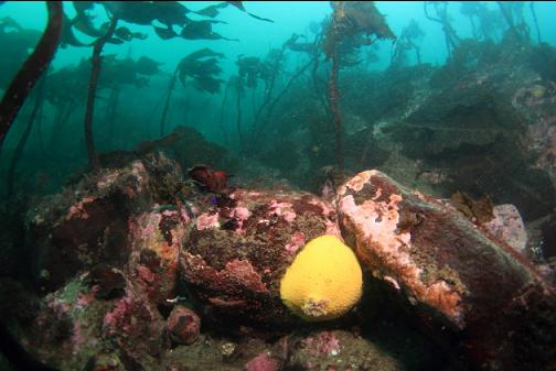
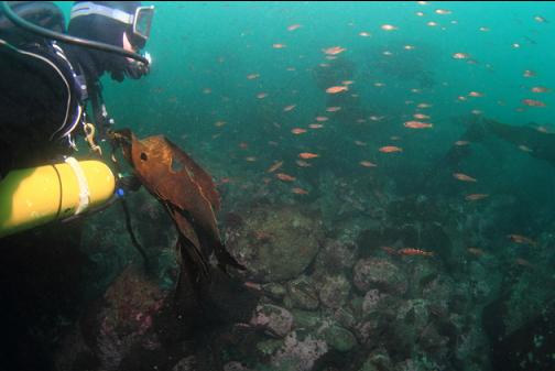
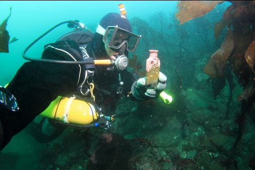
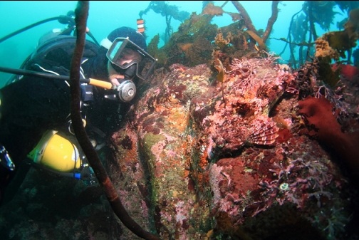
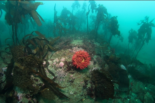
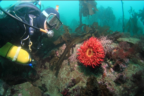
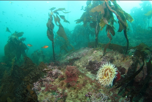
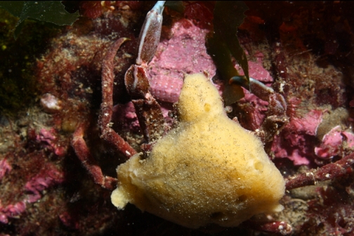
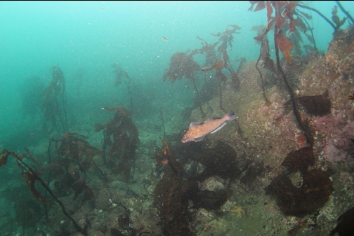
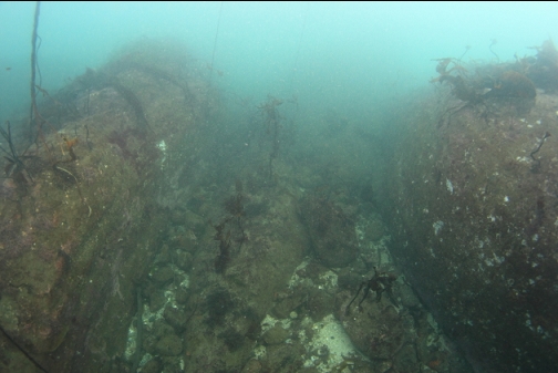
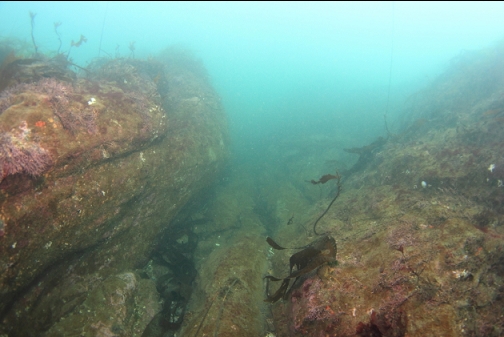
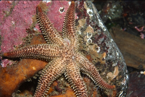
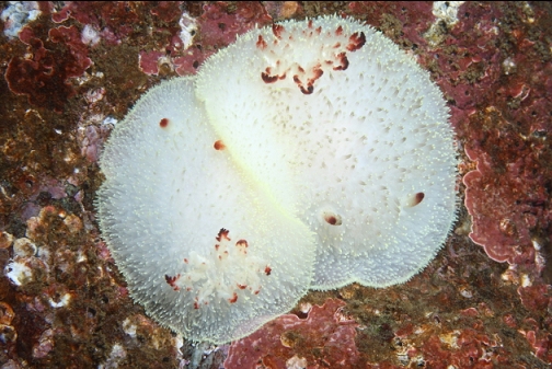
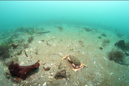
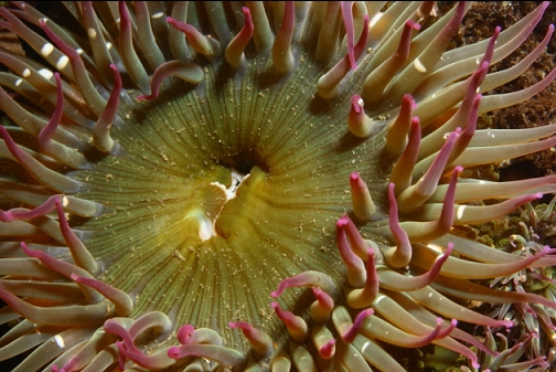
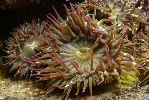
I reached the Southern edge of the bull kelp patch and descended to look around these rocky reefs. This area was a maze of steep-sided rocky areas with boulders in between. There was lots of stalked kelp and a few fish-eating anemones. There really wasn't much marine life here, but it was bright and relatively-clear (visibility was 20-30').
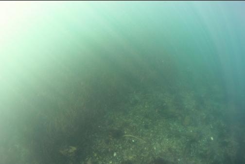
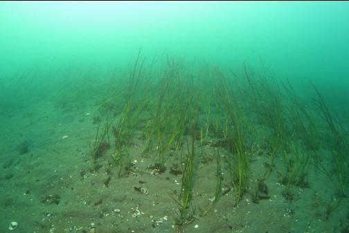
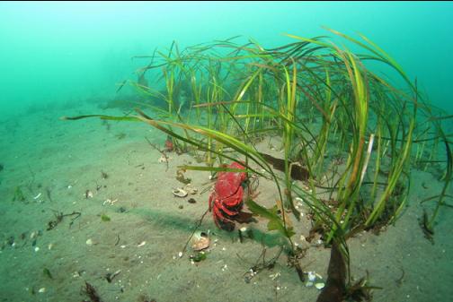
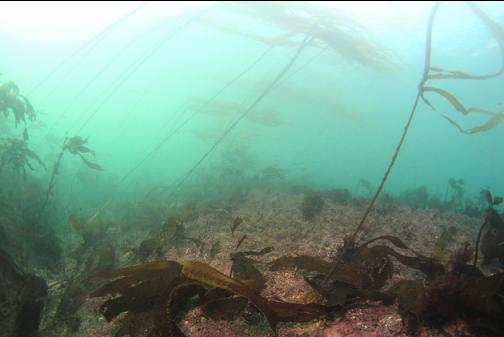
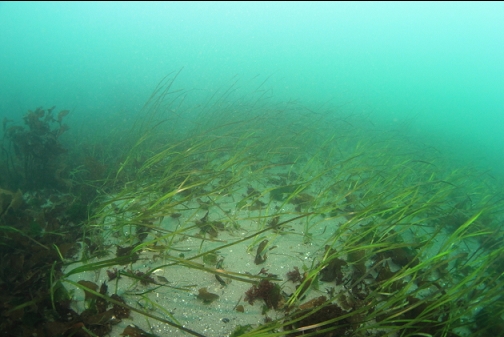
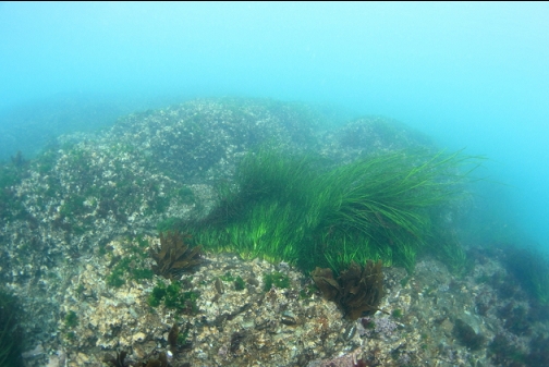
I followed my compass South towards Templar Rock. The rocky reefs ended and there was a flat sandy area with eelgrass about 25' deep.
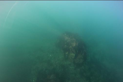
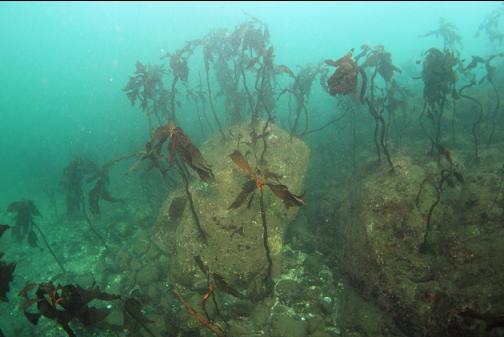
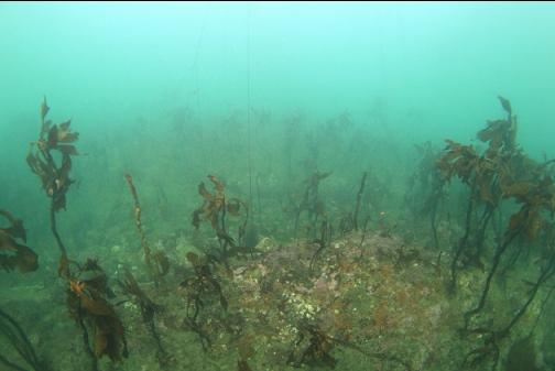
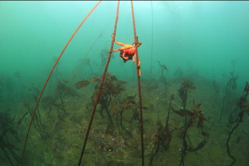
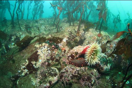
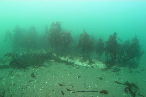
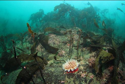
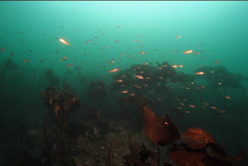
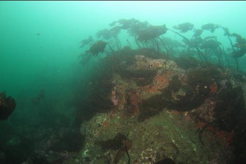
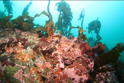
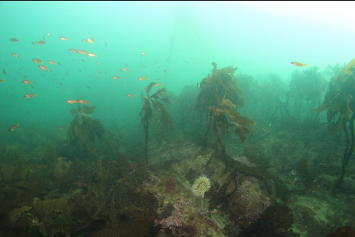
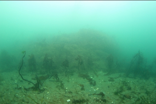
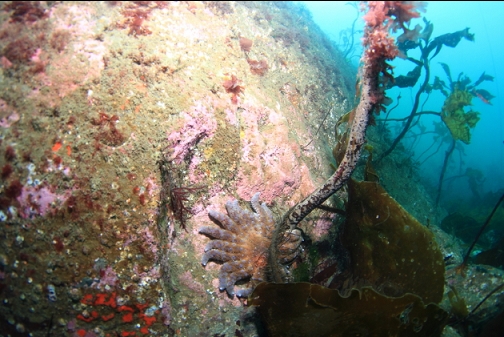
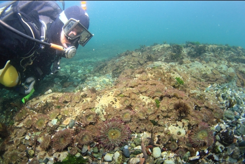
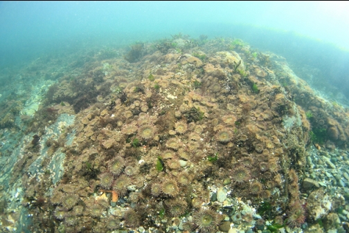
I started seeing some small rocky areas and then I reached a continuous rocky area with more stalked kelp. This area was a jagged maze about 20-25' deep (some peaks went up to 10-15' deep) that ran out to Templar Rock. The current became stronger the farther I swam out.
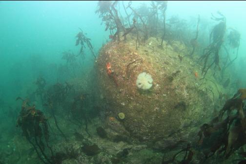
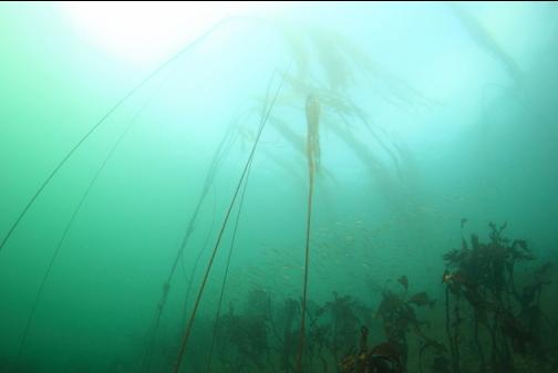
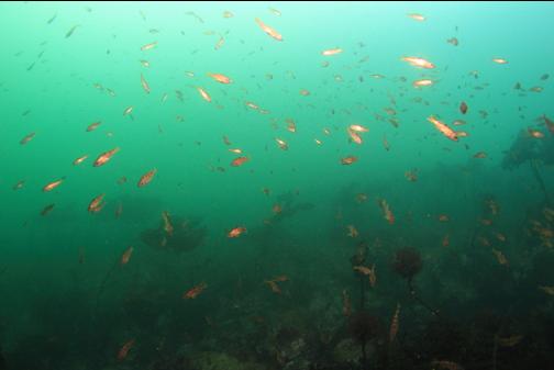
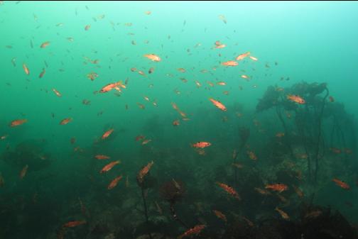
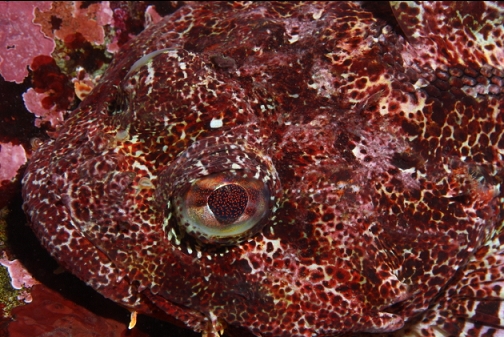
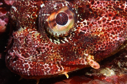
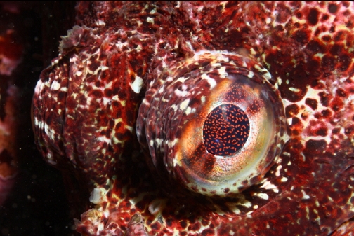
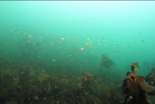
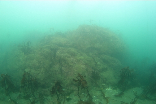
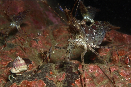
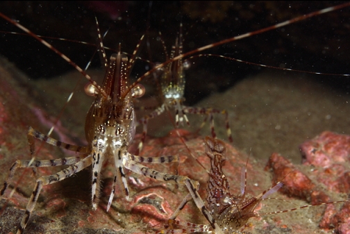
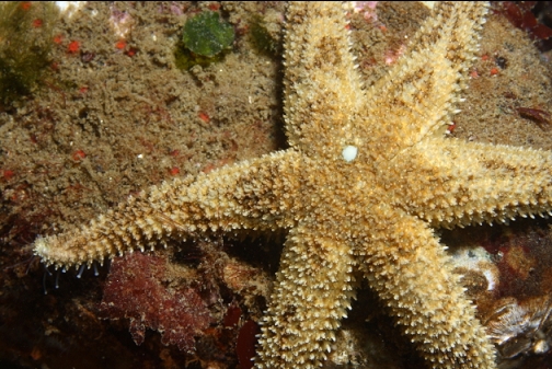
I made it out to the far side of Templar Rock. The solid rocky area ended about 33' deep at high tide and there was a flat area of smaller, rounded rocks stretching out into the strait. The current out here was almost too strong to swim against so I didn't spend much time here. There were lots of baby yellowtail rockfish schooling around. They were the only rockfish I saw on the entire dive. I also didn't see any lingcod. I wasn't very impressed by the lack of colourful invertebrates on the rocks out here so I followed my compass back along the long reef towards the bay.
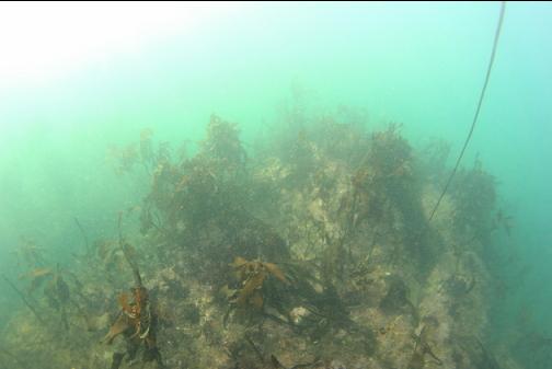
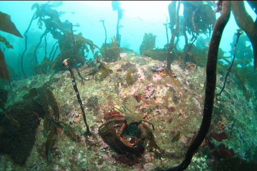
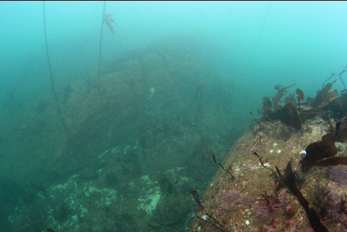
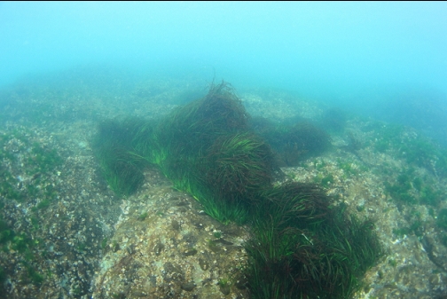
I reached the sandy area with eelgrass again. I crossed over it and spent a bit of time exploring the rocky reefs near shore. This is a large shallow area, full of small canyons.
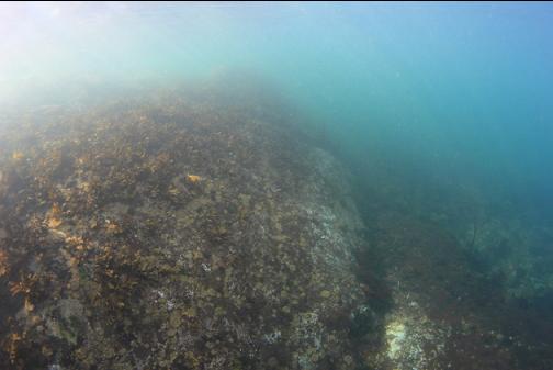
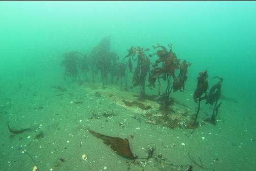
The tops of some of these reefs are exposed at low tide. Today, they were just under the surface. They were covered with surfgrass and barnacles.
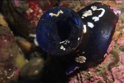
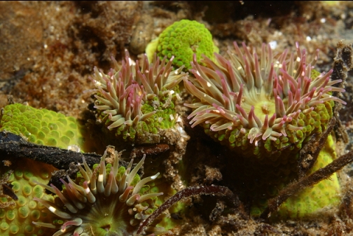
Near the beginning of the trail where I started, there were the usual intertidal small green anemones.
I didn't see any anchors or signs of wreckage on this dive. I don't think I'll bother swimming out to Templar Rock again, but I may come back to Gonzales Bay and dive around the West side of the bay (where there are less shallow rocks) to look for old anchors. Maybe the anchor from the Templar is still down there.