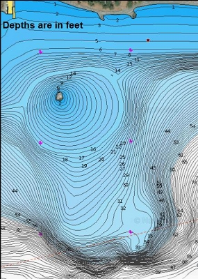
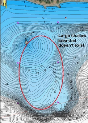
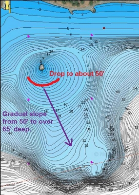
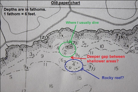
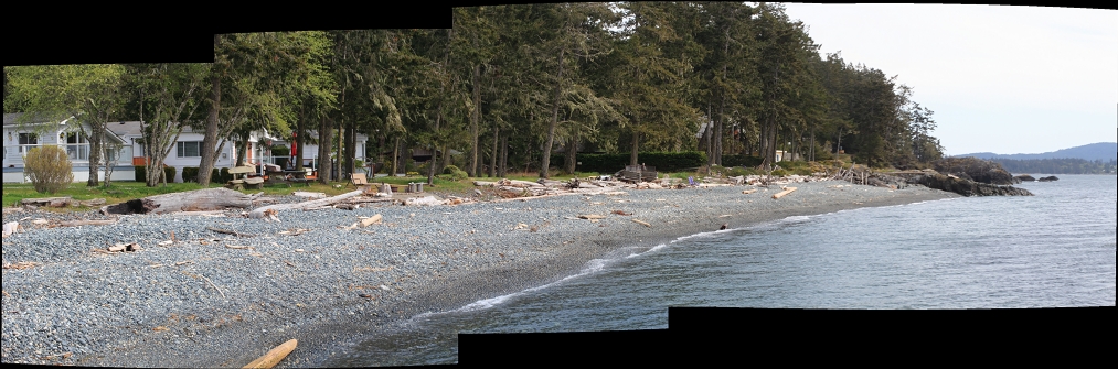
One thing that's always bugged me about this site is that the marine chart shows a long, shallow area stretching out from the islets where I usually dive. The thing is, this shallow area doesn't exist. In reality, the South side of the islets drop down to about 50' deep and then there is a gradually-sloping stretch of sand leading out to over 60' deep. An old paper copy of a marine chart for this area shows this shallow area being separated from the islets by a deeper area. This seems more realistic compared to the newer chart. Back in 2011 I tried to find this shallower area by following my compass South out from the islets. I found a low rock reef about 65' deep, but nothing as shallow as the marine chart seems to show (24' deep at low tide). I came back here on April 23, 2021 for another try at finding this elusive shallow reef.
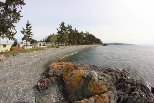
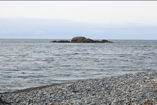
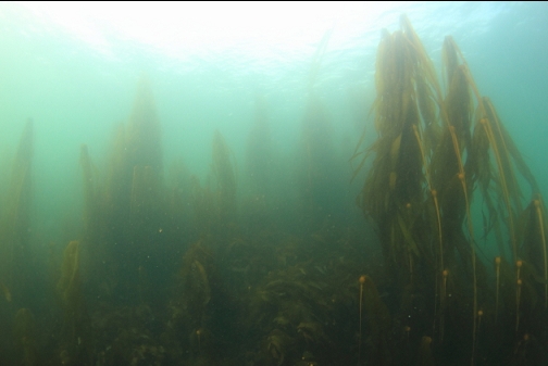
I swam out on the surface to the islets. Visibility was around 20', except on the far side of the islets where it was closer to 30'.
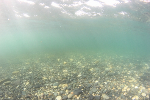
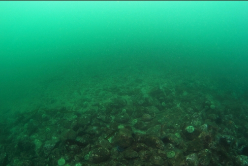
From the 50'-deep base of the Southern end of the islets, I started following my compass South and a bit East over the sandy bottom. It's a rare day when the current is mild enough to risk swimming out this far into the Strait.
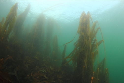
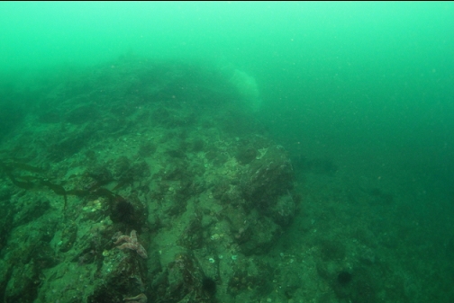
I had swam for I'm guessing 150 meters and reached a depth of 60', when I saw a rocky reef in the distance.
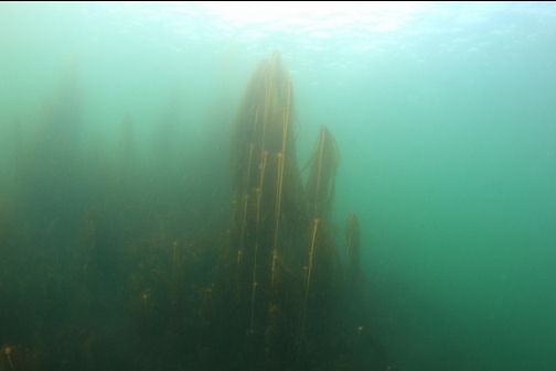
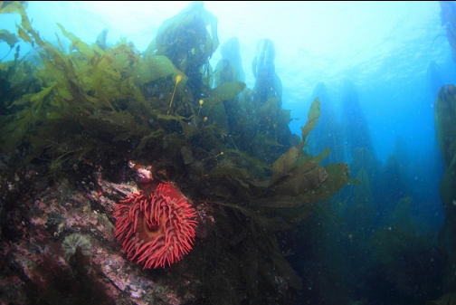
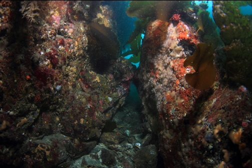
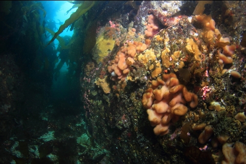
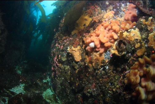
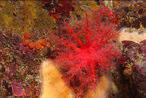
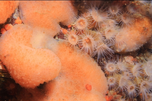
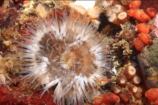
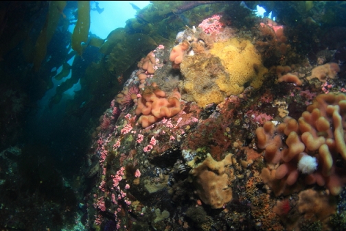
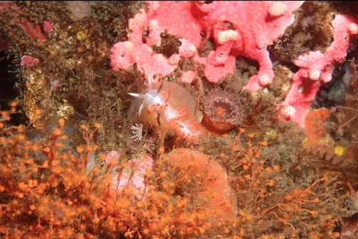
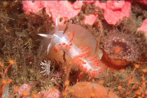
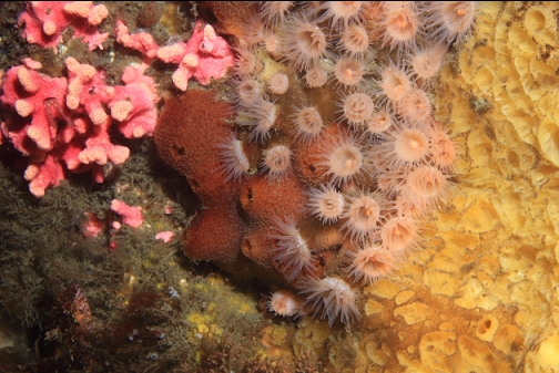
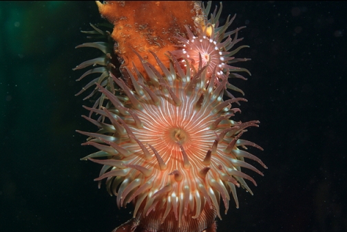
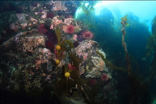
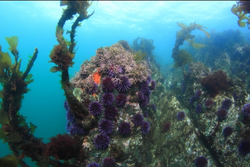
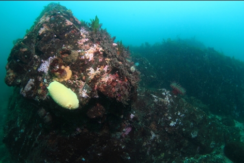
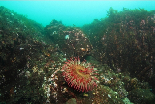
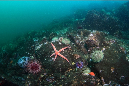
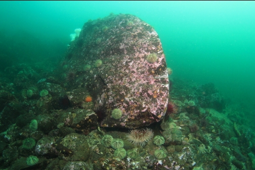
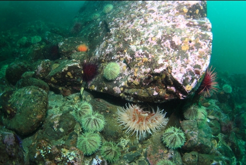
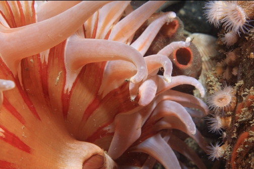
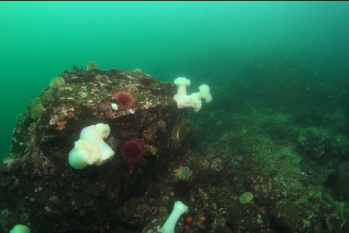
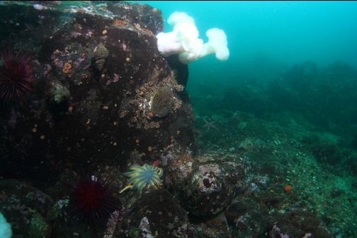
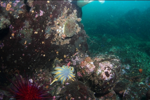
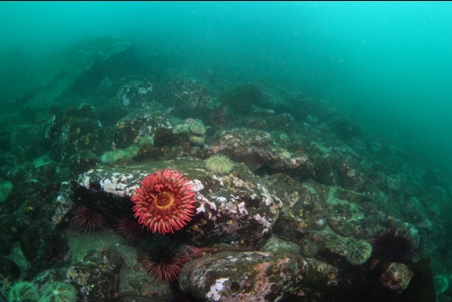
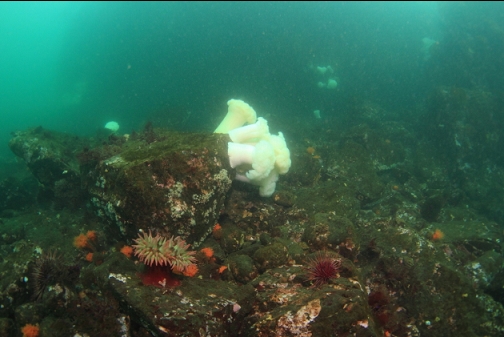
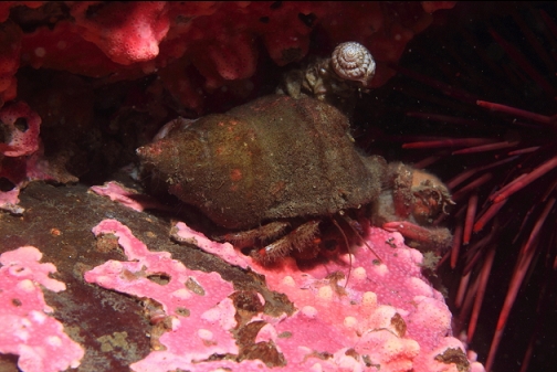
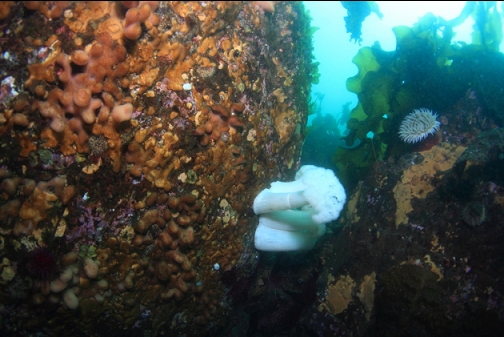
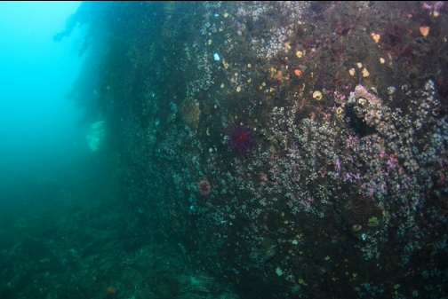
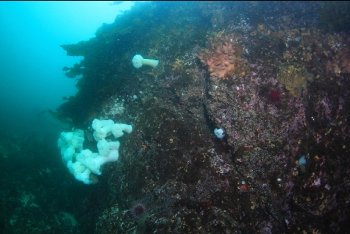
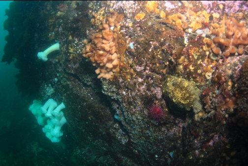
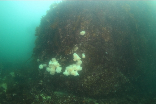
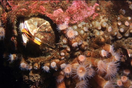
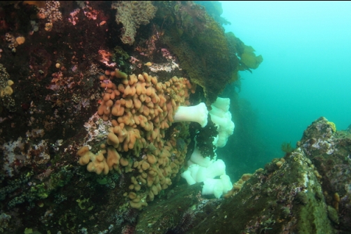
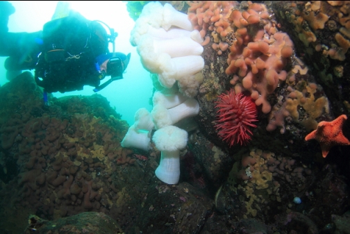
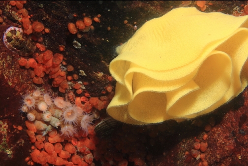
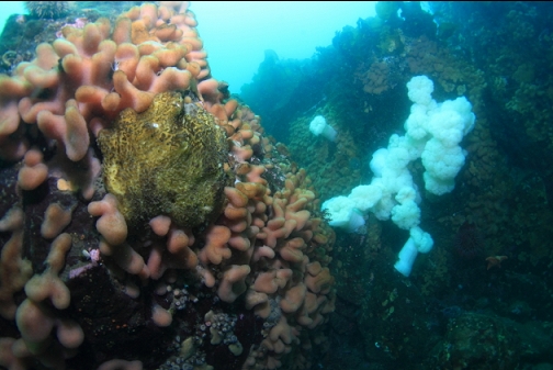
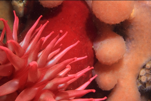
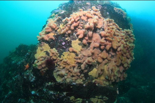
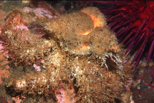
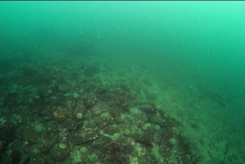
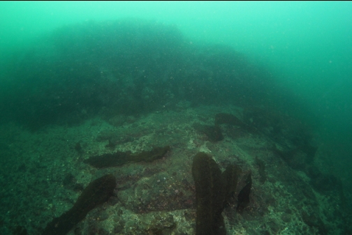
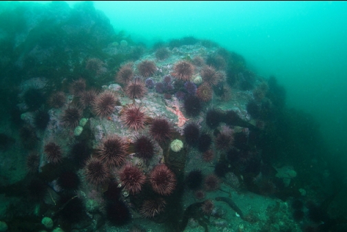
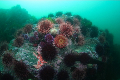
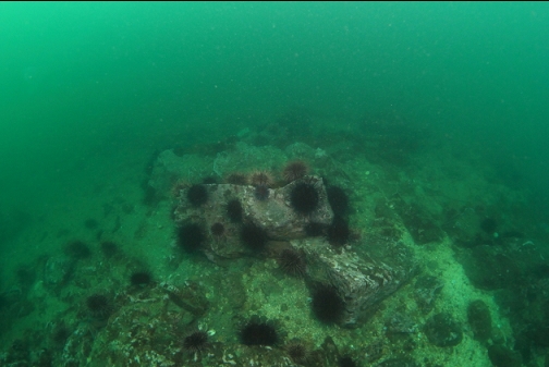
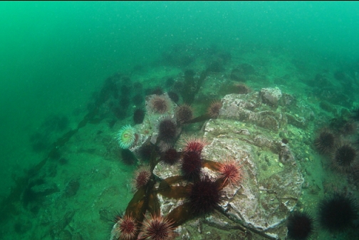
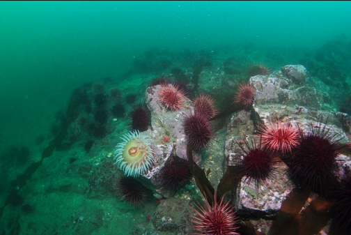
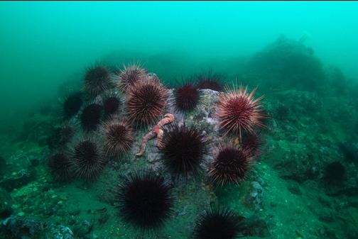
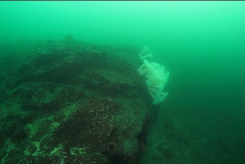
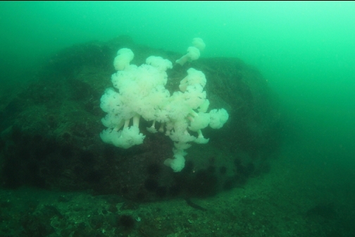
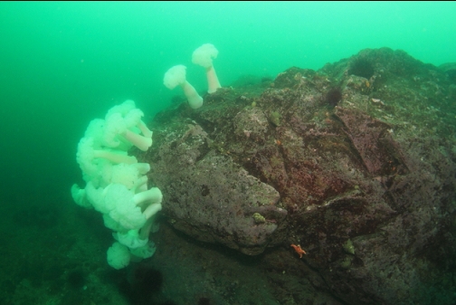
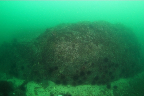
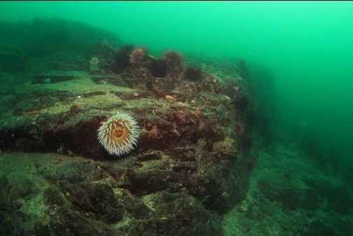
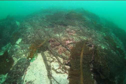
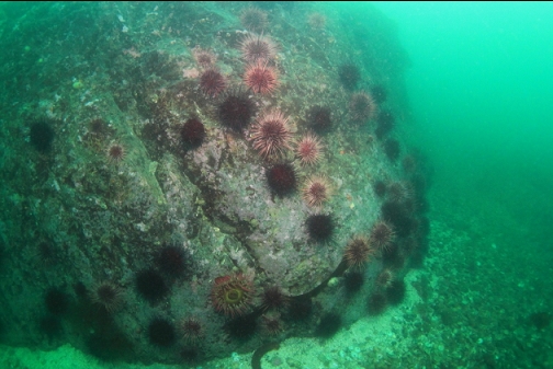
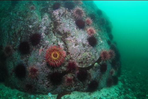
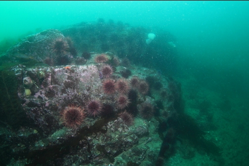
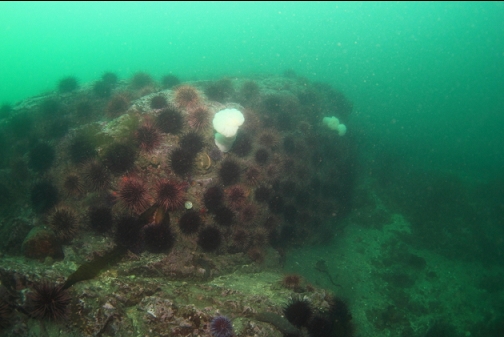
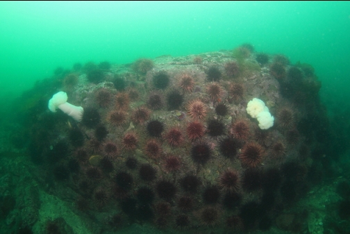
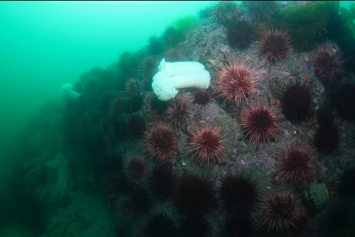
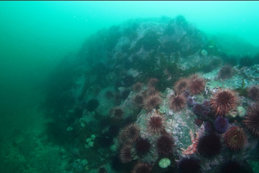
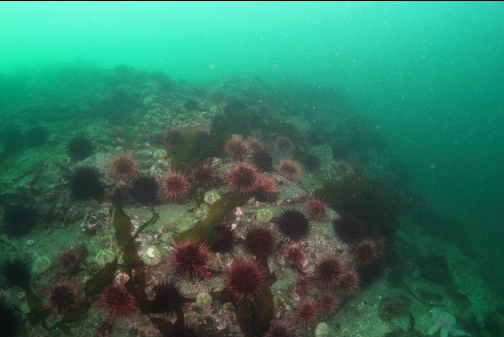
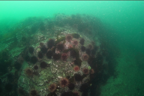
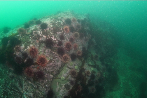
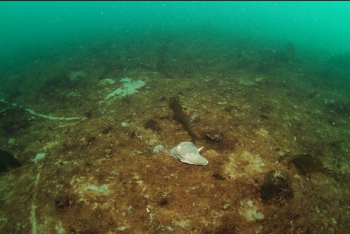
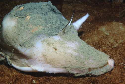
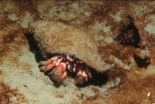
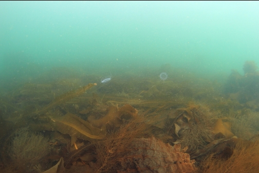
This reef was about 100 meters across and rose up from the bottom about 10'. Since the top of it was just over 50' deep, it seems too deep to be the area shown on the chart. I swam all the way around it. The far side went down to 65' deep. I didn't see any fish on it. There were lots of urchins and a few fish-eating anemones and plumose anemones.
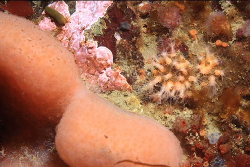
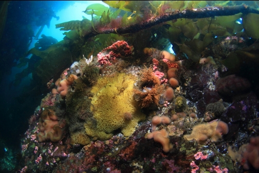
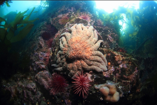
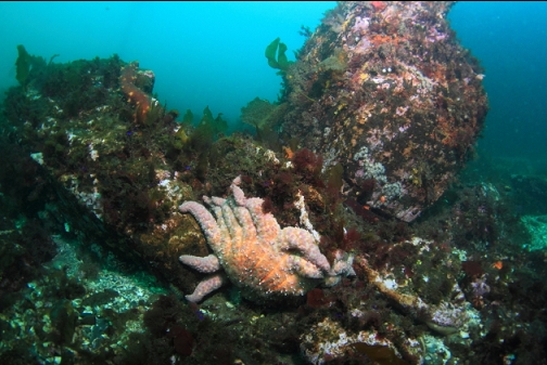
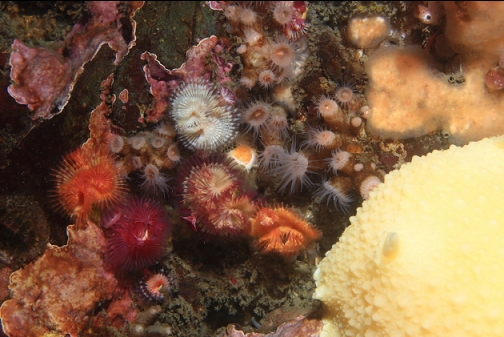
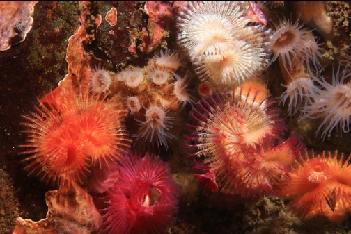
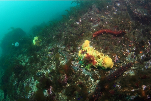
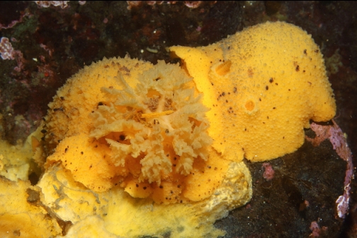
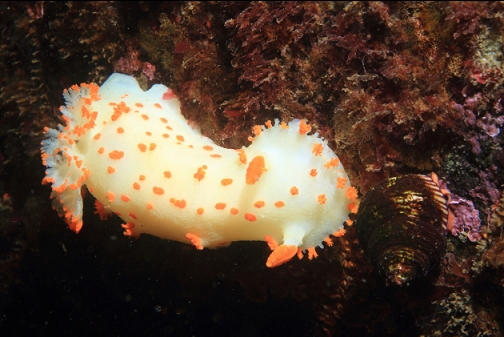
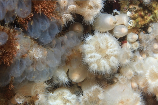
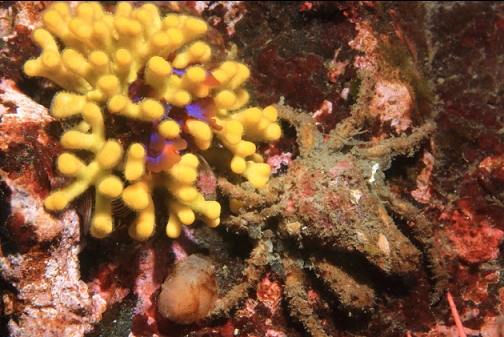
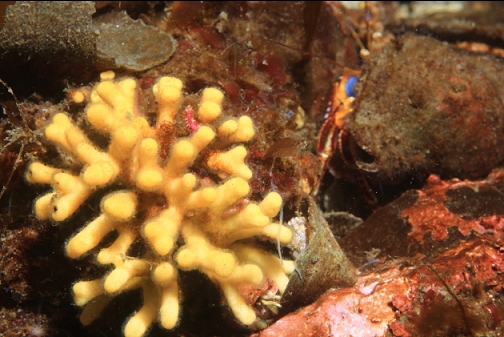
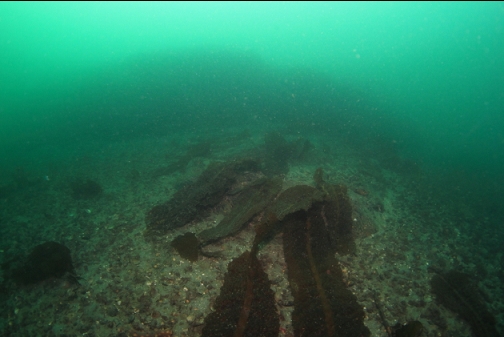
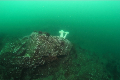
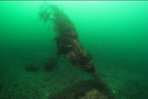
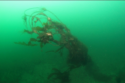
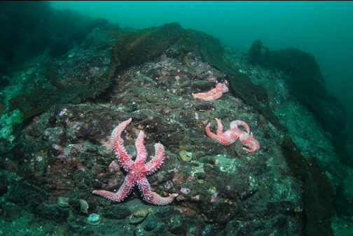
Off the South end of the reef I saw a snagged fishing net. I thought that was a strange coincidence, since the reef I briefly visited back in 2011 had a similar-looking fishing net next to it as well. I realized that this was the same net and I was on the same reef as 10 years ago. Back then the section of rock next to the plumose anemone cluster was covered with colourful invertebrates like small orange tunicates and purple compound tunicates. Today, this same area of rock seemed much more bare. It's no wonder I didn't recognize it at first.
After swimming around the entire reef (and not seeing any other rocky areas in the distance), I followed my compass back towards the islets. I ended up missing them and arrived back at the beach in front of the trailer park where I started.
I'm still wondering if that shallower reef is still out there somewhere. Maybe If I swam past the rocky area I found and kept swimming out into the Strait, I would have seen it pop up eventually. The problem is, it's a long swim from shore in an area that gets some decent current. I wish there was a sidescan image of this whole coastline out past Sooke. I imagine there are several rocky areas hidden out there on the otherwise gently-sloping sand/pebble bottom.