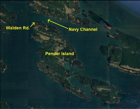
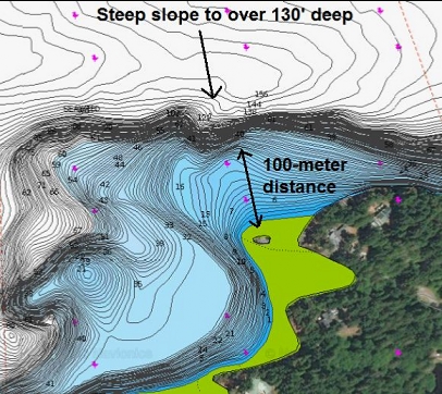
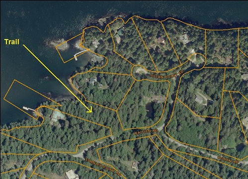
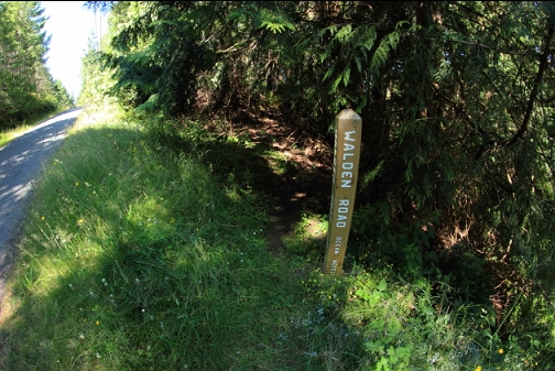
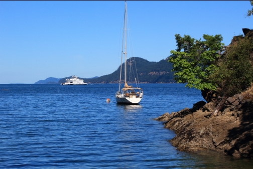
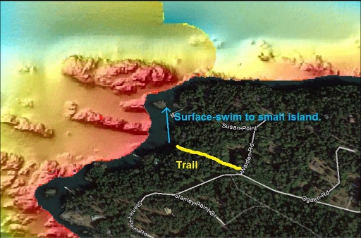
When I visit the Penders I usually always dive around the Southern end in Boundary Pass. I wanted to try somewhere new and different for a change. The North-West end of the Island faces Navy Channel, which was narrow enough to make me assume that there can be strong-ish current here. There is a beach access trail off Walden Rd. leading down to a small rocky beach at the North-West tip of North Pender Island. The marine chart shows a steep drop to over 130' deep within a swimmable distance. I came here on July 13, 2020.
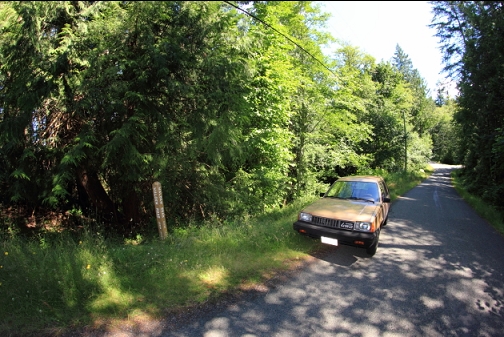
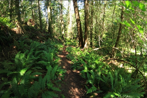
When I arrived at the trail, I was disappointed at how steep it was. It was about as long as the trail to the popular entry-point at McKenzie Bight, which is my go-to comparison for a sort-of-long, but reasonable length of trail. The steepness of this trail would usually make me hesitate to dive here, but I figured I was already here so I might as well put in the effort.
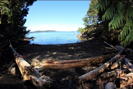
Out around the right-hand point from the beach there was a small exposed rock. The drop-off was supposed to be on the far side of this rock. I swam out to it on the surface. Visibility in the shallows was terrible. I could just barely see the hazy outline of my fins when I looked back so I'd say it was 6'. I accidentally swallowed a bit during the surface-swim and it strongly tasted like algae.
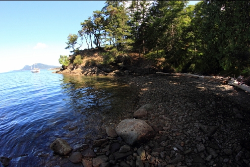
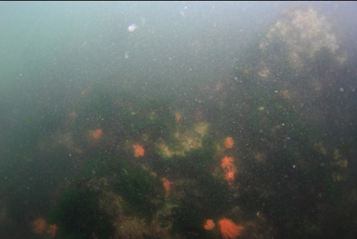
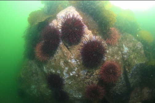
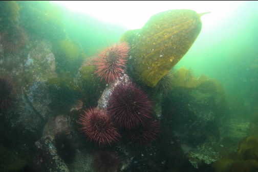
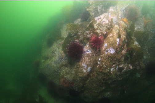
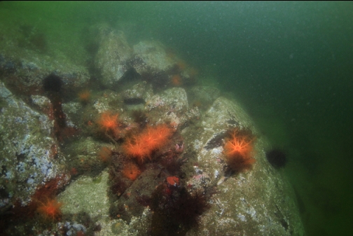
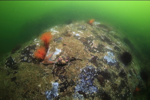
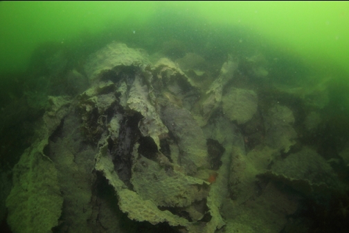
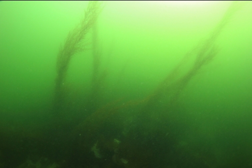
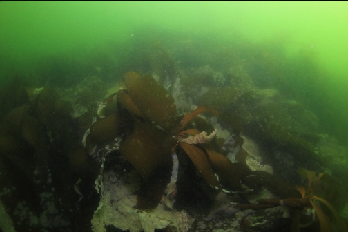
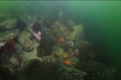
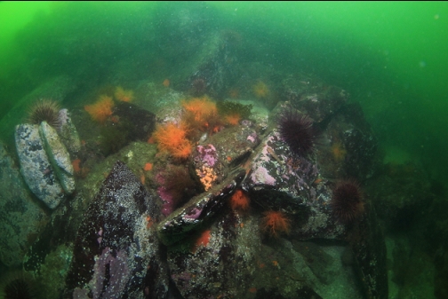
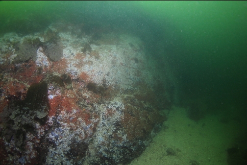
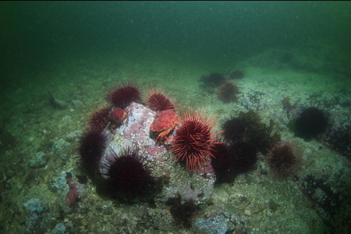
On the far side of the islet, I descended down the rock slope. Near the surface, everything was covered with kelp and seaweed. At about 20' deep I could see clusters of red urchins.
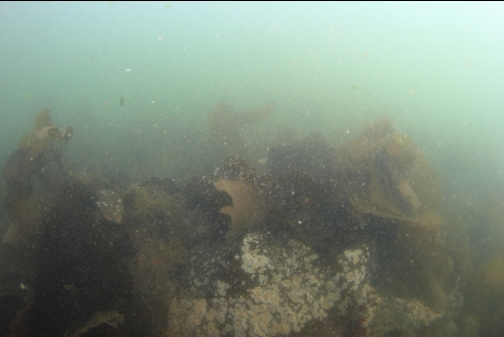
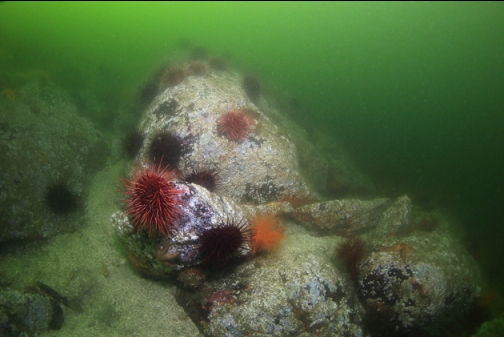
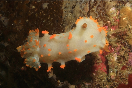
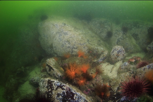
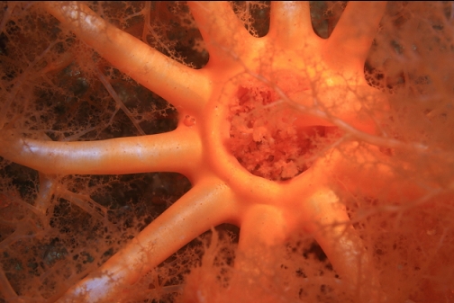
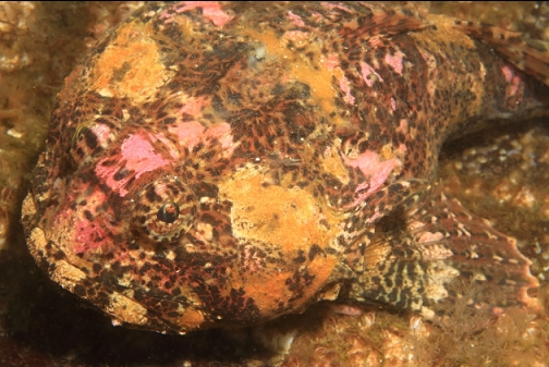
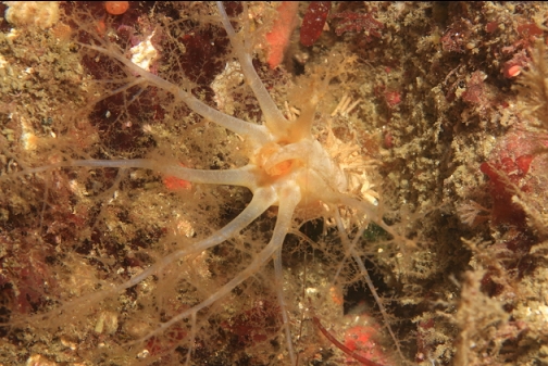
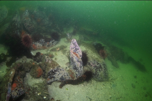
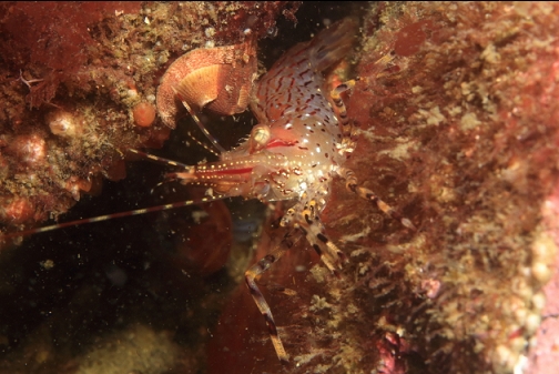
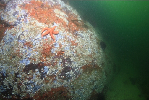
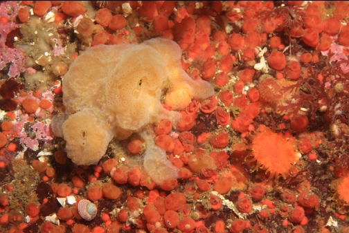
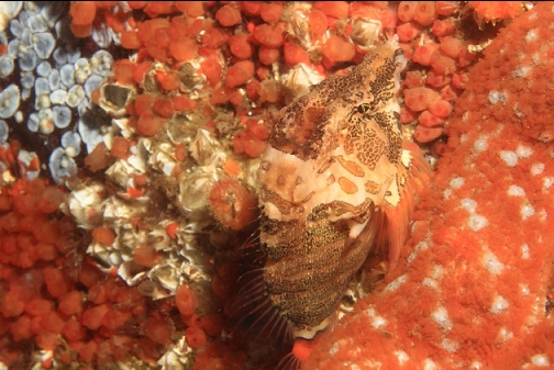
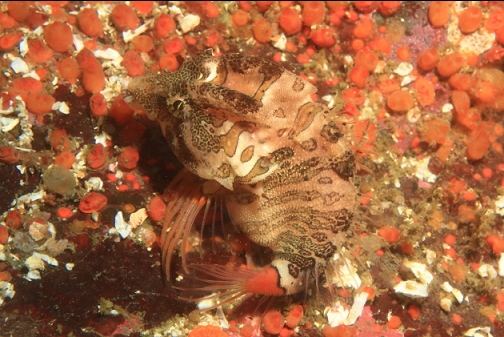
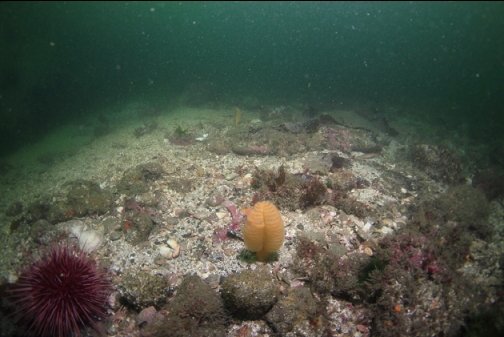
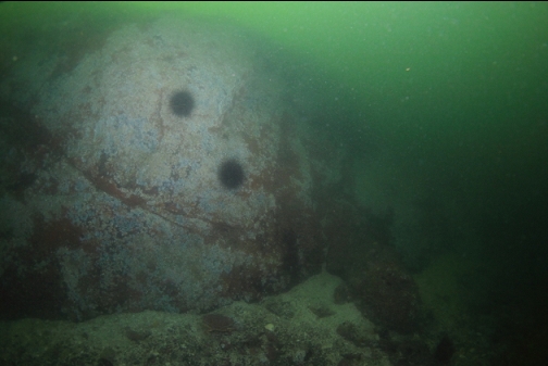
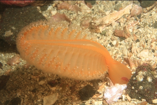
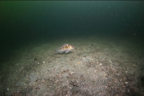
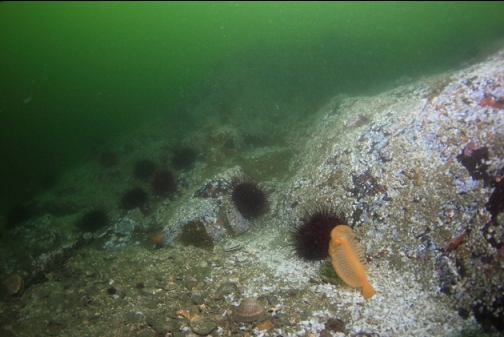
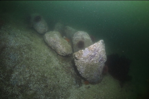
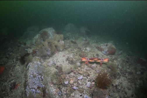
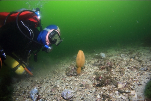
Below 20' deep, visibility improved a bit to around 10'. The steep rock slope met a sandy bottom at 47' deep. The most common marine life on the rocks were orange burrowing cucumbers, red urchins, orange colonial tunicates, some kind of grey feathery hydroids and cup corals. Other than that, the rock surfaces were covered with the empty shells of small white barnacles. There were several sea pens in the sand. I didn't notice many fish except for gobies and a couple of grunt sculpins.
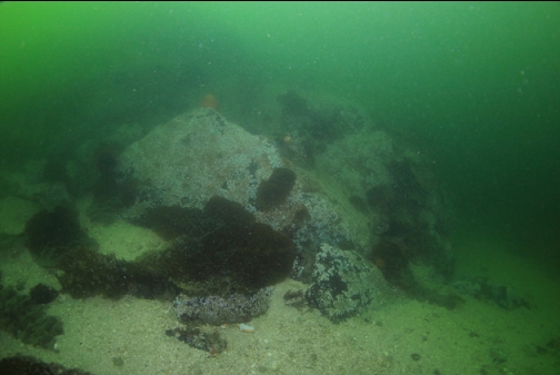
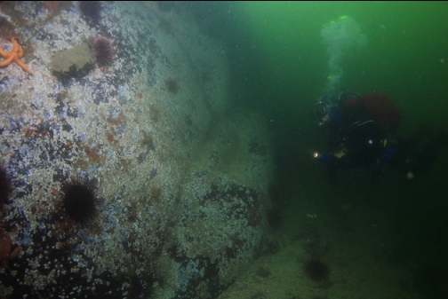
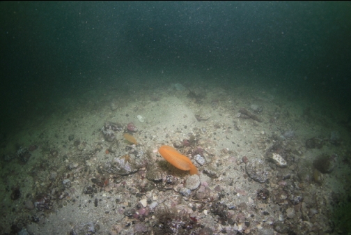
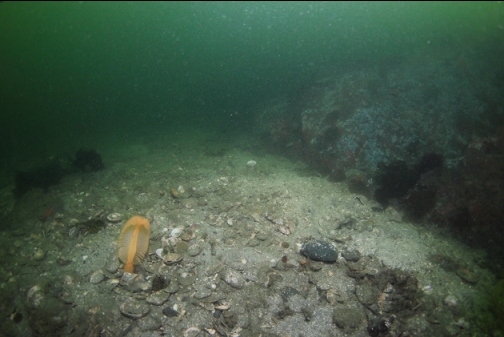
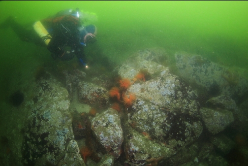
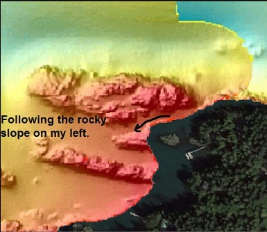
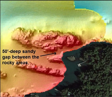
I reached what seemed to be the end of the rocky reef. It tapered down to a point in the sand. I swam back the way I came for a bit and then swam out (North-ish) across the sand looking for the drop-off that was promised in the marine chart. I soon reached another rocky reef that headed in the same direction as the one I had just been to. The base of this one was still about 47' deep. When deciding to dive here, I didn't pay much attention to the sidescan image of the reefs, but later after the dive I looked closer and noticed that there was a flat gap between 2 rocky areas. I was swimming in between them. To reach the drop-off I would have to swim up over the second reef and find the deeper area on the other side. I didn't know this at the time so I was a bit confused by the topography. It seemed like a maze. The current was reasonably strong. I could swim against it, but I didn't know if it was increasing or how strong it would get. I was diving when the Active Pass Current table was showing 2 knots of flooding current.
I was hesitant to continue exploring out on these far reefs with the threatening current, the bad visibility and the disorienting topography. I swam back across the sandy gap to the rocky slope near the islet.
I swam back up through the really horrid visibility in the shallows and back to shore.
Later I was kicking myself a bit about missing the deeper drop-off, which I could have reached easily by paying more attention to the sidescan image. I'm half-heartedly thinking about going back when the visibility is better and trying again, but the steep trail here will probably always scold me and tell me to try somewhere else.