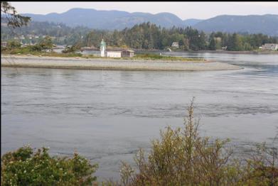
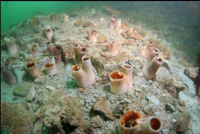
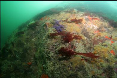
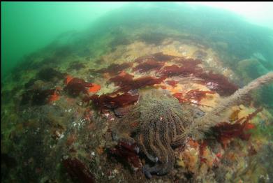
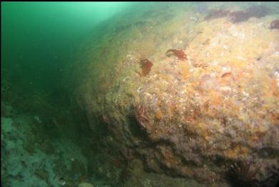
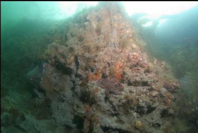
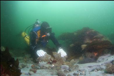
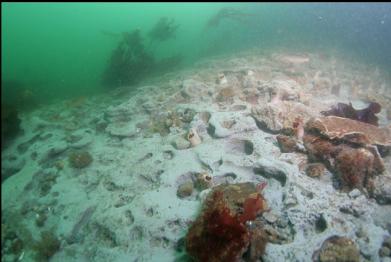
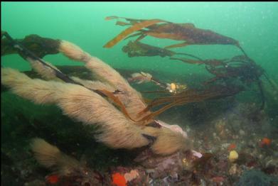
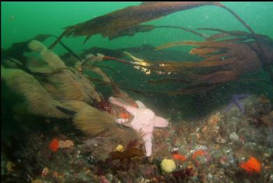
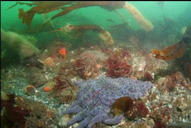
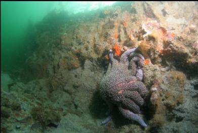
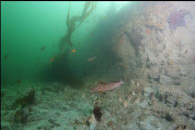
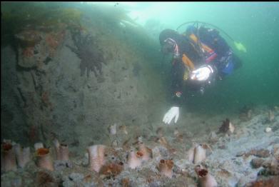
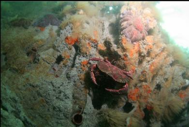
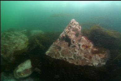
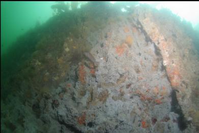
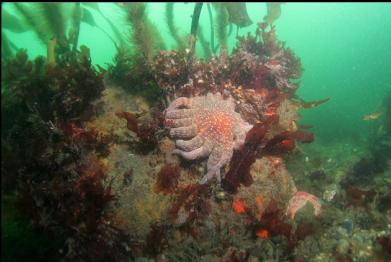
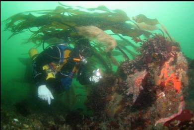
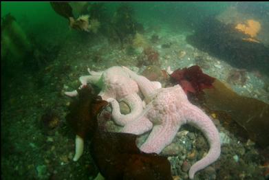
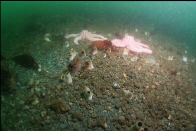
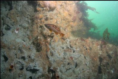
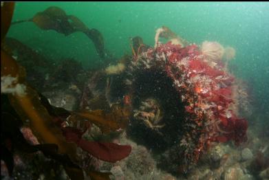
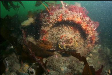
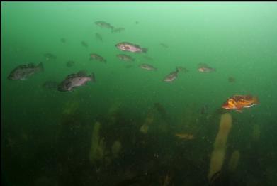
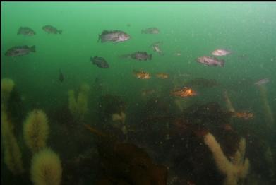
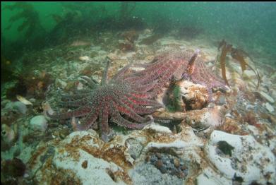
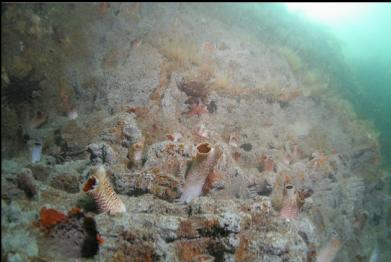
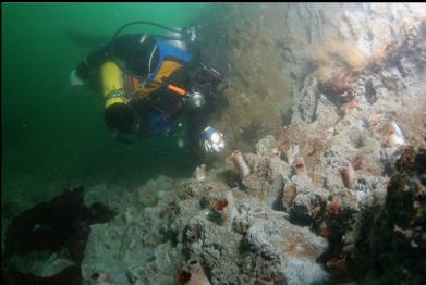
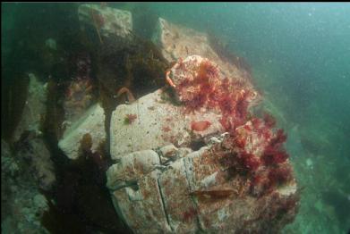
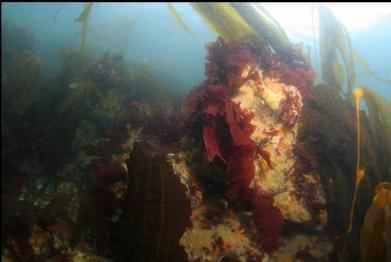
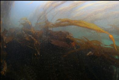
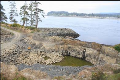
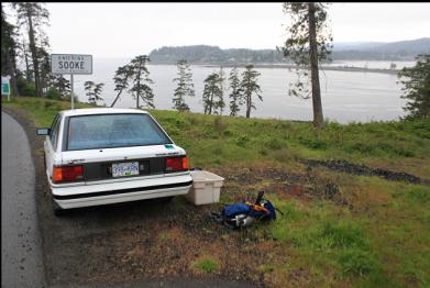
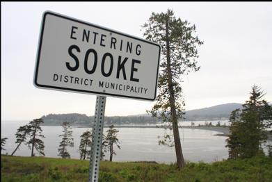
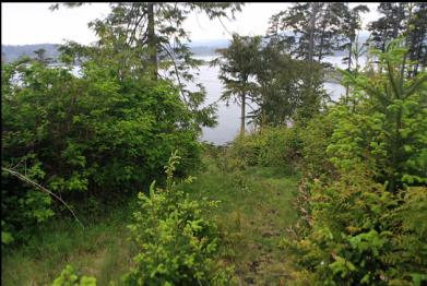
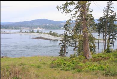
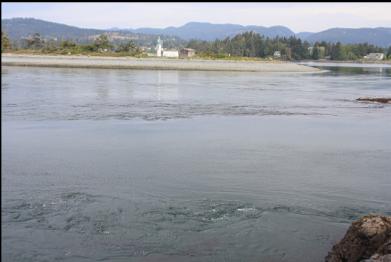
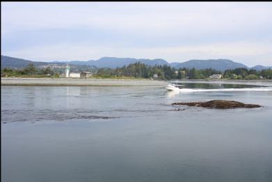
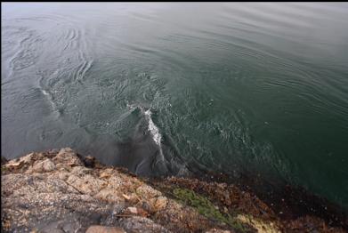
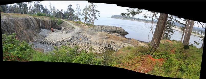
Whiffin Spit is the long, thin pebble peninsula that forms a natural breakwater at the entrance to Sooke Harbour. It's a park and there's a trail that runs along it to a navigational light at it's tip. Out past the tip, there's a narrow, shallow channel (about 200 meters across and 20-30 feet deep) that separates it from the East Sooke shore. All the water that flows in and out of Sooke Harbour/Basin has to force it's way through this narrows. The marine chart shows up to 4 knots of current here. In the middle of this channel there's a reef that's exposed at low tide. I've wanted to dive here for a while, but the long hike out along the spit put me off. Since I've been doing a lot of diving in the Sooke/East Sooke area lately, I've had some close looks at the area's zoning maps, which include the public access lanes guaranteed under the Land Title act. I saw one leading down from East Sooke Road to the shoreline across the narrows from the tip of Whiffin Spit. I walked it one day while I was in the area, but the Sooke tide table wasn't cooperating and the current was too strong to consider diving. I came out again on May 16, 2010 about 1 hour before low tide. The trail isn't that long and it's not even that steep, but most of it is choked with wild roses, thistles and blackberries. On the left side of the trail as you're walking down, there is a big pit in the rock that looks like a quarry, but I think it's actually the beginnings of a marina that's advertised as part of the Silver Spray development. I guess they're blasting the marina out of the land and then they'll blast out the "dam" that separates it from the ocean. Getting the permit for this must have been an adventure. Anyway, when I showed up here, I could hear the current while I was still on the trail. It was still too strong to get in the water so I sat on the rocks and waited. If the current wasn't enough of a hazard, I was reminded of another one. All the boats in Sooke Harbour have to pass through here as well to get out to the Strait of Juan de Fuca. I always assumed that there was a speed limit this close to shore (about 50 meters), but every boat I saw tore through at full throttle. I waited until about 1/2 hour after the published low tide, but the current was still obvious. It did seem to have slowed down a bit though. Judging by the stuff floating by the rocks near my feet, I'd say the water was moving at about 3 feet per second which is about 1.8 knots. I put on my stuff and walked by the exposed tide pools full of coraline algae, small anemones and some large green anemones to the water. The current was still ebbing and I swam against it towards Sooke Harbour. Visibility was only about 10 feet. Once past the bull and stalked kelp in the shallows, the shoreline dropped down in a bit of a wall covered with various tiny tunicates. I didn't see any anemones. Below about 15 feet deep, the rock seemed strangely bare and pale. It wasn't rock at all, but clay. This clay wall went down to about 20-25 feet deep. The clay was full of holes with clam siphons sticking out of them. The current was still almost too strong to swim against so I had to hold onto the bare outcroppings of clay on the bottom to catch my breath every few seconds. The perch and kelp greenlings seemed to be handling it fine. I tried to take a few self-portrait shots, but most of the time the camera tumbled over. It seemed to me that most of this narrows was carved out of the clay by the current. I swam farther out towards the shallow reef that I saw from the surface. The bottom of the channel (25-30 feet deep)was flat with clay areas, pebbles and larger clay blocks. There was stalked kelp, seastars, lots of gunnels and a school of black and copper rockfish. The bottom gradually rose up in a slope of pebbles on the North side of the reef. The shallows here were covered with kelp so I couldn't see much. I descended down the side of the reef that faced my entry-point. There was a wall of clay here too with some small overhangs that I didn't want to swim under since the whole place didn't seem that stable. At the base of this wall there was a cylindrical piece of metal (maybe 4 feet long) with the ends sealed off. There were also some more kelp-covered, unrecognisable, rusty pieces of metal stuff laying around. I assume this was from some small old wreck that might have hit the reef hidden just under the surface. The current had slowed and stopped while I was near the reef and now it had started to flow in the opposite direction. I had only been underwater for 30 minutes, but it was time to get out while I could still swim against the current.
I was expecting a shallow, rocky bottom covered with anemones and sponges so I was a bit disappointed. The clay topography is unique in the Victoria area as far as I know, so it was worth seeing, but I don't think it's worth the hassle of the current, the boat traffic and the drysuit-poking trail for most people.