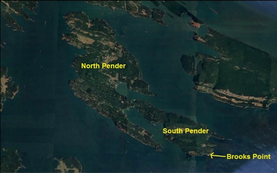
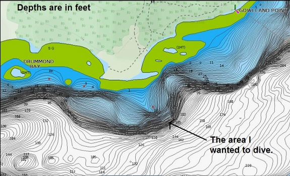
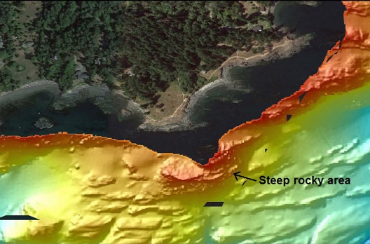
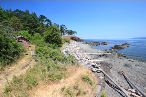
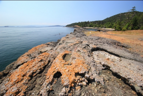
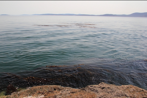
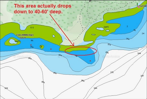
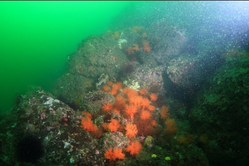
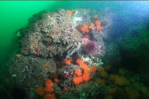
This is a small point sticking out from the South end of South Pender Island. It's part of Brooks Point Park. The chart shows a shallow area leading out to a drop to over 100' deep. The sidescan image also shows lots of rocky structure. This steep, deep rocky topography in an area with lots of current made me assume there would be lots of colourful marine life.
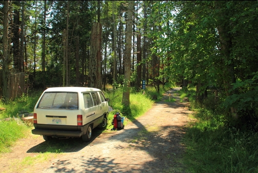
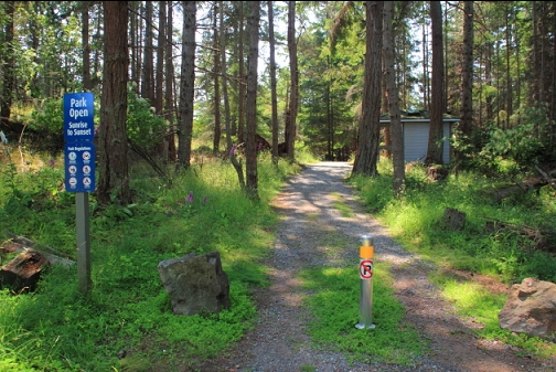
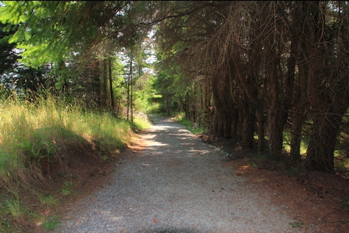
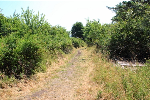
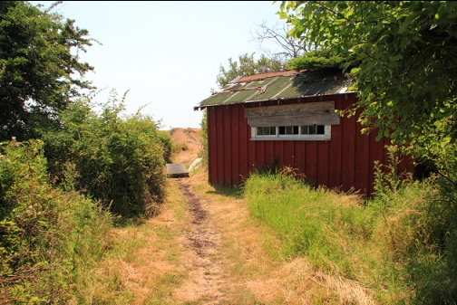
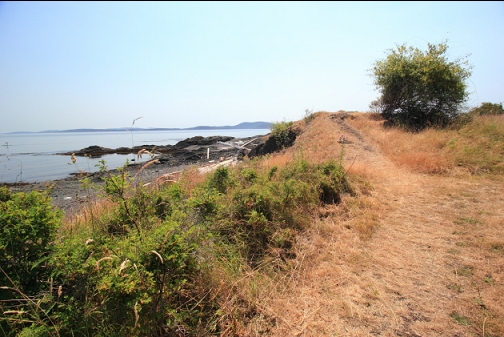
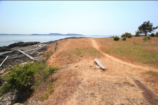
I dove here on July 2, 2021. I parked at the end of Kloshe Rd. and walked down a trail (about 225 meters) to the shoreline on the East side of the point.
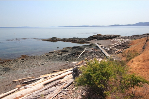
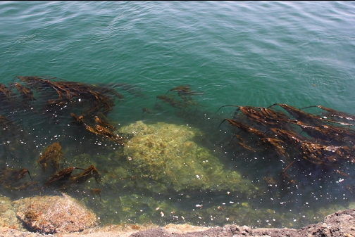
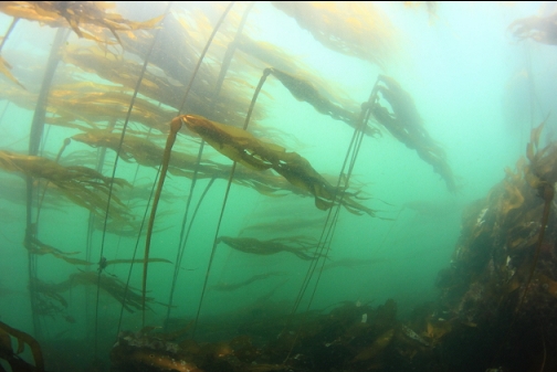
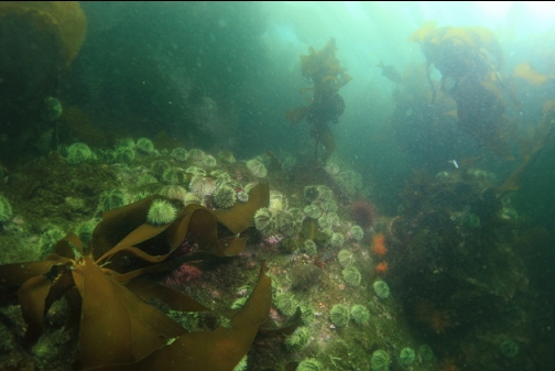
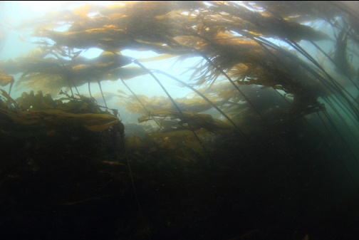
I swam out from a shallow beach and descended into the kelp on the East side of the point. I was diving about 1/2-hour after the Boundary Pass slack on a low exchange day, but the current was actually worryingly-strong. Visibility was about 15', which was less than expected. It seemed as if the current was sweeping up sediment as it flowed along the shoreline.
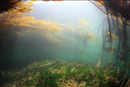
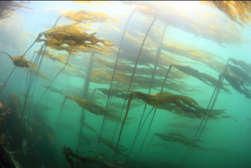
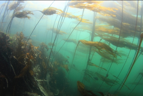
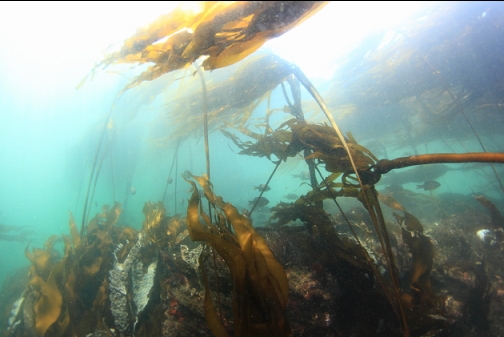
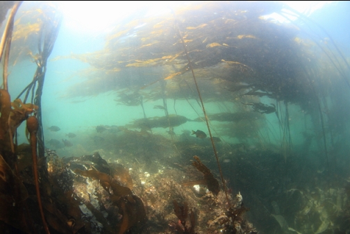
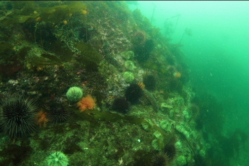
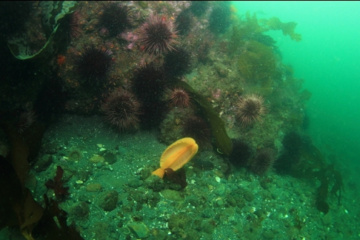
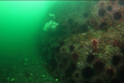
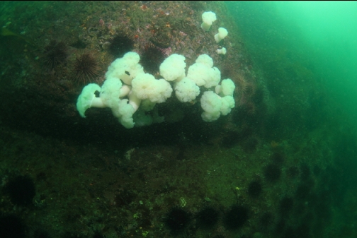
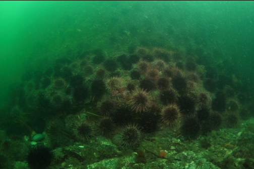
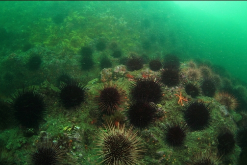
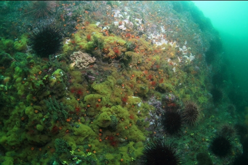
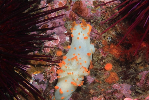
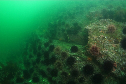
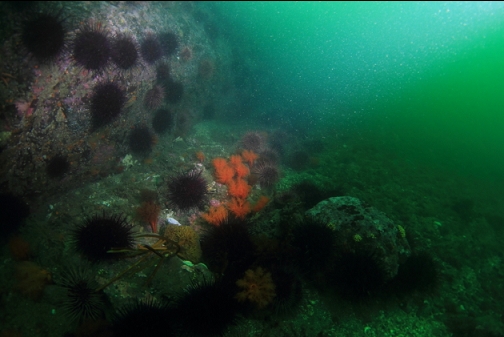
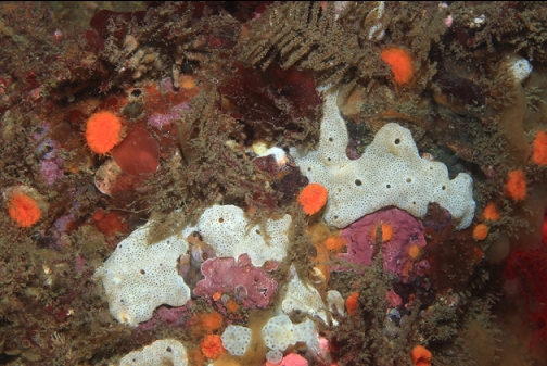
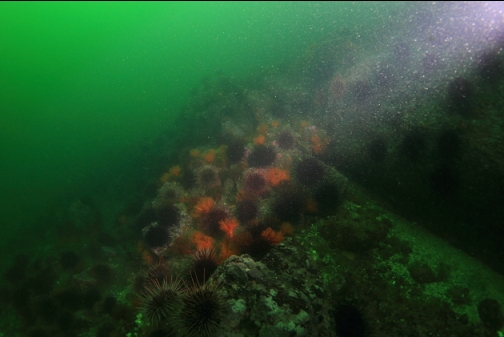
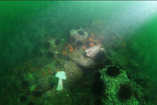
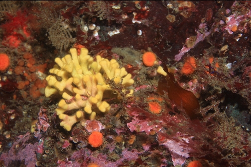
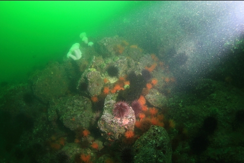
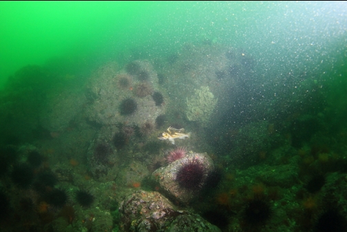
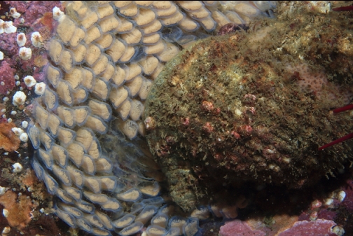
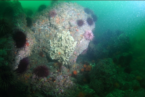
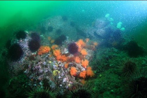
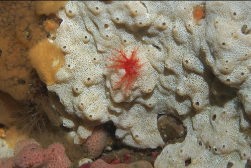
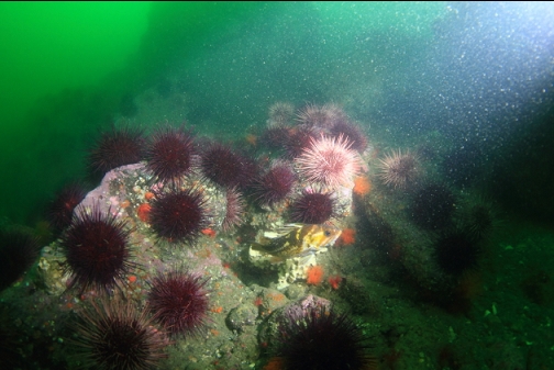
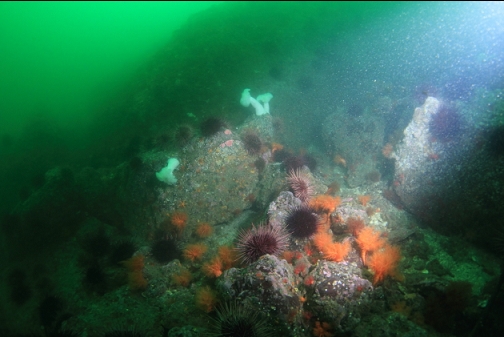
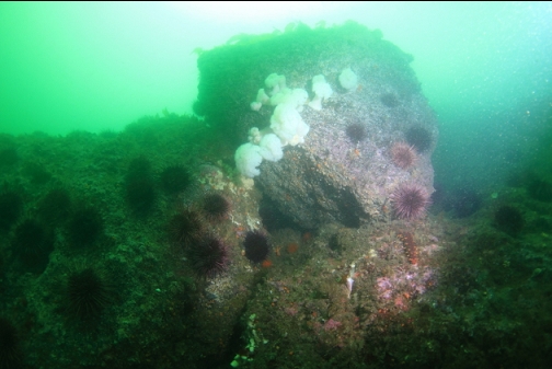
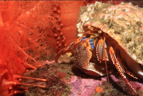
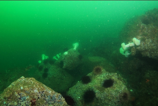
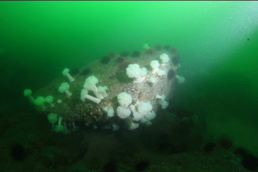
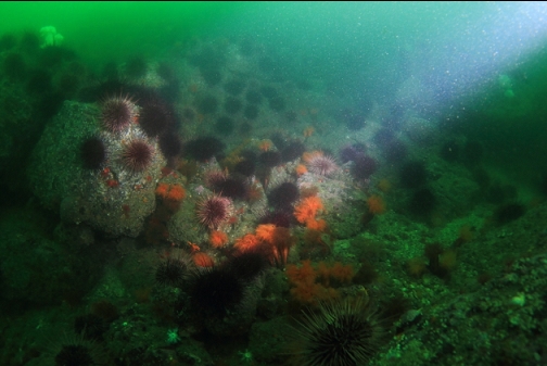
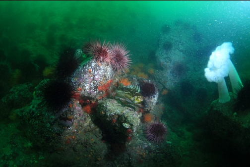
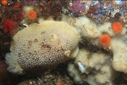
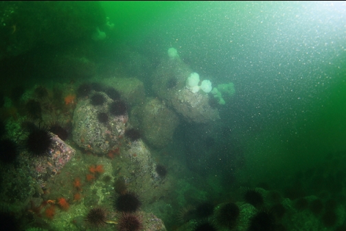
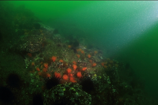
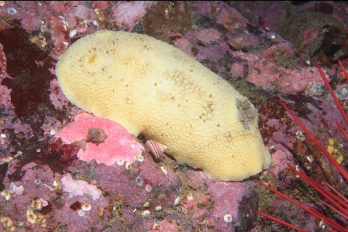
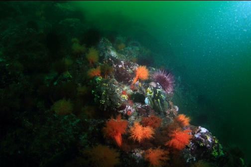
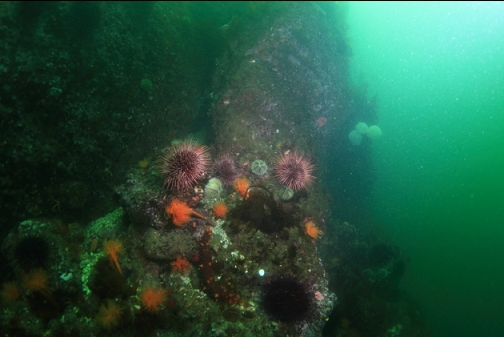
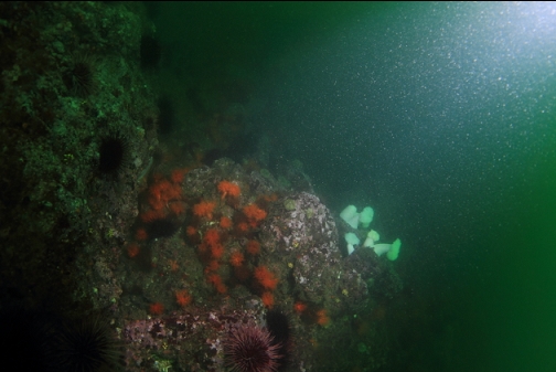
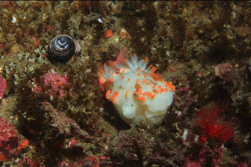
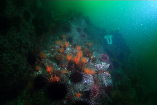
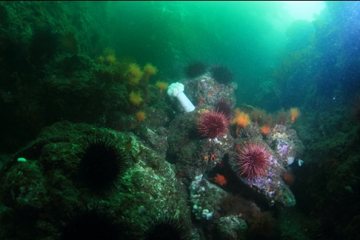
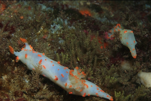
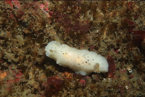
The point dropped almost straight down underwater to a sand/pebble bottom about 40' deep. This was surprising since the chart shows a much shallower area sticking out from shore. I realized I must be in some kind of channel between shore and the shallow area that starts up farther out from shore. Normally, I would have started swimming out across the flat bottom, looking for the deeper rocky area, but the strong current and the low visibility made me stay close to shore. My compass also seemed to be stuck so I wouldn't be sure what direction I was swimming in. I followed the base of the wall West. It gradually deepened to about 70' deep. The base of the wall was scattered with boulders. Marine life was mostly red urchins and orange burrowing cucumbers. There were a few copper and yellowtail rockfish. My wide-angle camera strobe stopped working so I switched to my close-up camera strobe which isn't as wide or diffused. That's why many of the pictures look like they were taken with a spotlight.

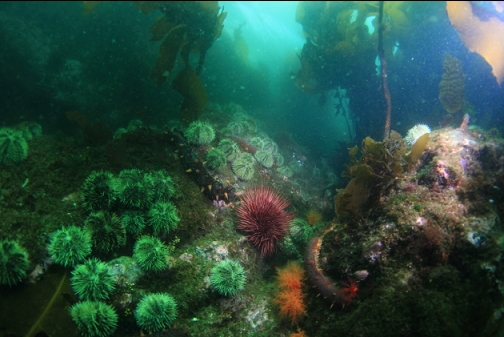
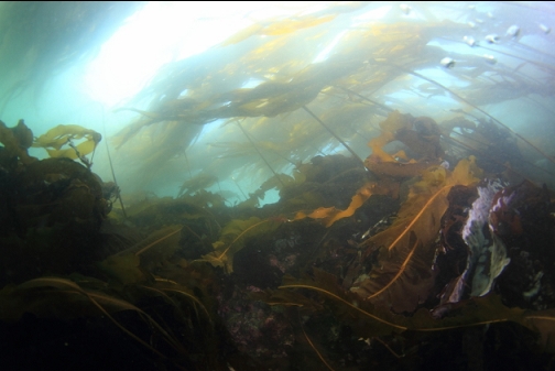
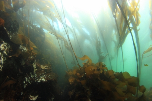
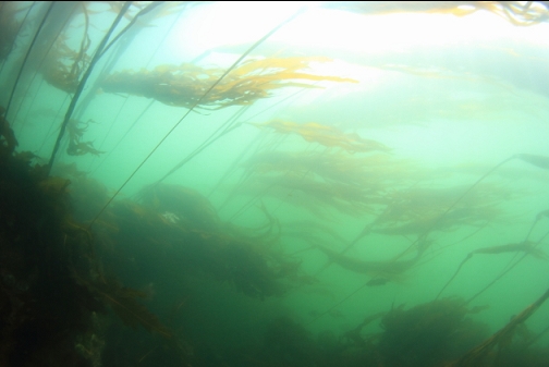
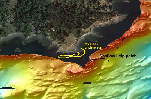
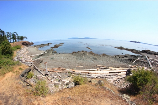
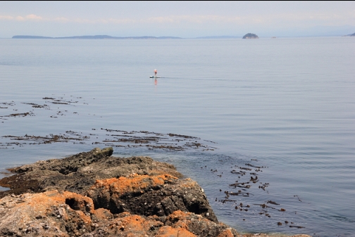
So I didn't reach the steep, deep rocky area I was looking for. There is a patch of kelp visible on the surface just over 50 meters off the point. I assume this marks a shallow rock reef that drops off on the far side. I'll have to come here again and use that kelp patch as a starting point, hopefully on a day with lower current.