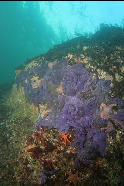
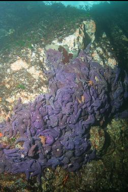
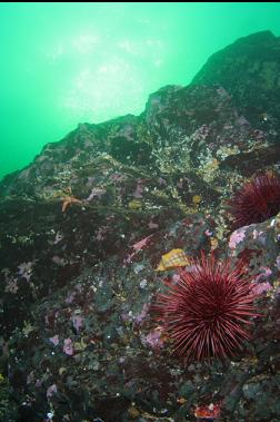
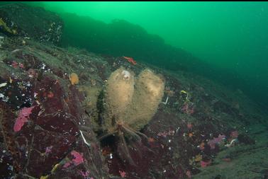
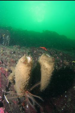
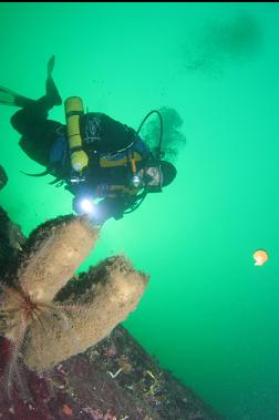
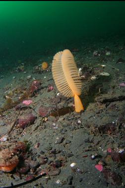
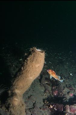
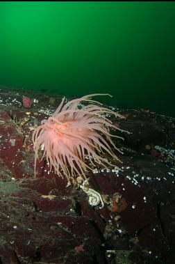
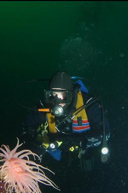
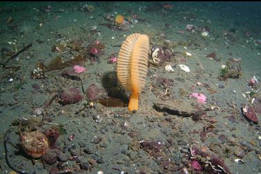
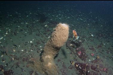
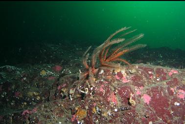
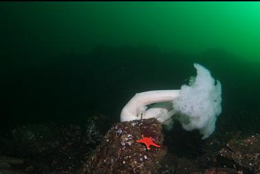
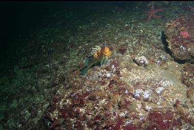
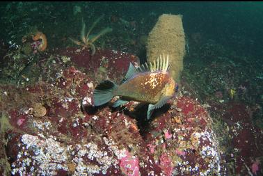
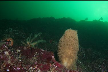
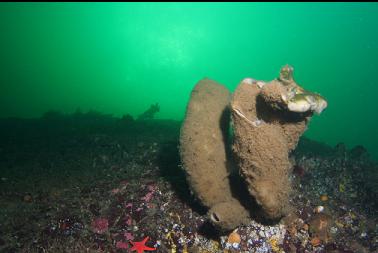
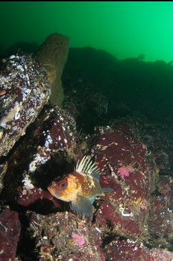
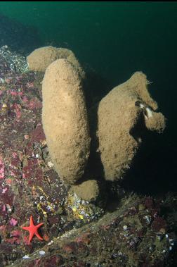
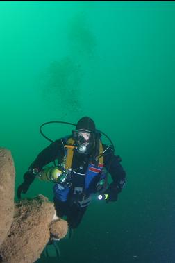
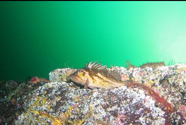
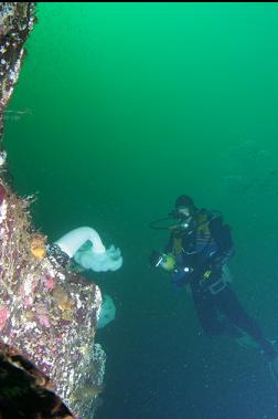
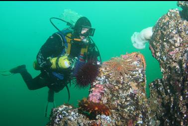
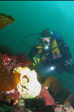
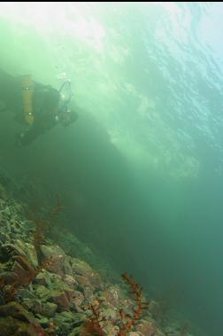
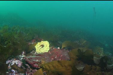
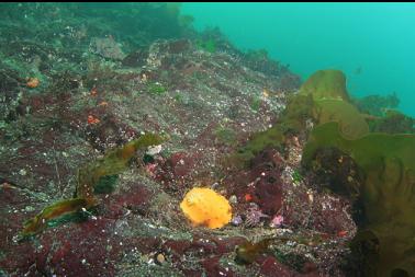
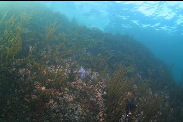
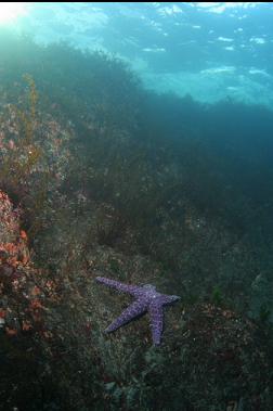
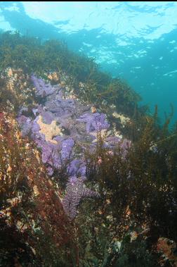
Bonito Crescent is the name of a road in the Nanoose area. At the end of the road, the zoning map shows a public access lane to the water between houses # 1872 and 1873. This is one of the public rights-of-way to the water guaranteed every 200 meters under the Land Title Act. According to the marine chart, the topography underwater seems similar to the nearby Dolphin Beach dive site. It was a windy, stirred-up day in Victoria (Dec. 6, 2009) so I drove up here for a look. In the spot shown on the zoning map, there was a small stream with a short, muddy trail running next to it. This trail ended at a pebble beach with a small rocky cliff on the right side. This cliff continued underwater and had small overhangs at it's base at about 10 feet deep. Piles of purple sea stars covered some sections of the wall. When I reached the point I swam straight out to where the chart showed the deeper area. After a reasonable swim over some rocky reefs I reached a steeper sloping wall starting at about 50 feet deep. Visibility was about 30-40 feet. I saw a few birds of some sort (they looked just like small penguins) swimming around with trails of bubbles behind them. I followed this reef down to about 80 feet, where there was a slope of sand with several seapens. I saw a few boot sponges and a crimson anemone on the reef. There were hardly any fish around. I saw a few quillback rockfish here and there. I continued to swim to the right (East). The reef ended and there was just another slope of sand. I swam across it for awhile and another reef started up. This one went deeper. My maximum depth was 110 feet, but I could see the reef sloping deeper in the distance. There were more boot sponges, feather stars and a few white plumose anemones. I still didn't see many fish. I swam back up to the flat, pebble-slope shallows and back to the cliff/beach/trail. When I returned to my car, one of my windshield wipers was broken off and there was a note under the other one saying that by going to the beach, I was trespassing on private property. Instead of fire-bombing the neighborhood, I double-checked the zoning map when I got home (it's available on-line on the Nanaimo Regional District website) and sure enough, the public right-of-way was still there. It seems hard to believe that the local residents are actually unaware of their property boundaries. Whatever the real reasons, I realise that I'm a guest up in that neighborhood so I'll probably avoid causing a local diver-access war and just not dive here again.